This gentle trail in Hsinchu’s Jianshi District winds climbs viewing platform overlooking Smangus, a secluded mountain retreat once considered Taiwan’s most remote settlement. While many visitors come to admire the village’s cherry blossom or it’s grove of giant trees, the this forest trail at the other end of the village offers a quieter escape for birdwatchers and nature enthusiasts.
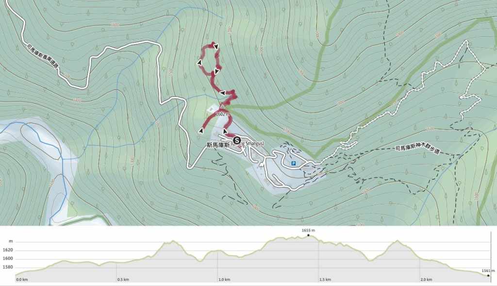
Distance: About 2.3 kilometres.
Time: 1-1½ hours should be plenty.
Total ascent: Just under 200 metres, but most of that is on the track leading up to the viewing platform, so it feels pretty easy.
Difficulty (regular Taiwan hiker): 2/10 – Just getting to Smangus makes for a bit of a challenge, but aside from some gentle slopes, this trail is pretty easy.
Difficulty (new Taiwan hiker): 3-4/10 – For folks unfamiliar with Taiwan’s landscape, this should be on the harder end of easy. There are loose leaves and gravel which demand care while walking and some ascent.
Risks and dangers: The trail is covered with dry leaves and loose gravel, and it’s light on directions but despite that, this is a pretty safe trail. It would be hard to get lost, and every exposed section is bordered by fencing.
Water: I took 0.5L and drank next to nothing. Drinks can be bought at the village store close to the restaurant.
Shade: The trail from the village to the viewing platform is quite exposed, but the rest is nice and shady.
Mobile network: Pretty clear throughout.
Enjoyment: For me, the highlights of this trail were the many birds we saw and a lovely view of Smangus Village.
Bathroom facilities: There’s a toilet block in the car park beside the little place where you check in.
Route type: Some kind of messy loop.
Permit: None needed for most of the year, but during the busy February to March blossom season, visits to Smangus are limited to those who have applied from a permit from the village’s tribal authorities.
Jump to the bottom of this post for a trail map and GPX file.
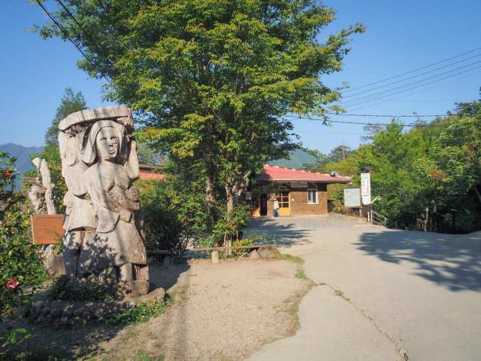
A wooden carving showing villagers that can be found in the carpark in front of Smangus’s check-in area. This is where the walk starts from.
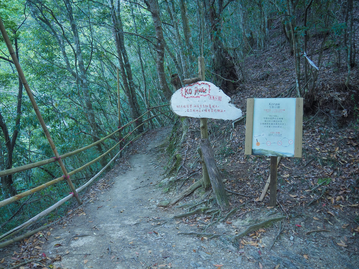
Turn up the lane opposite the check-in centre. Actually, there are three lanes leading away from this point, but the one to Koraw Eco-Park is signposted.
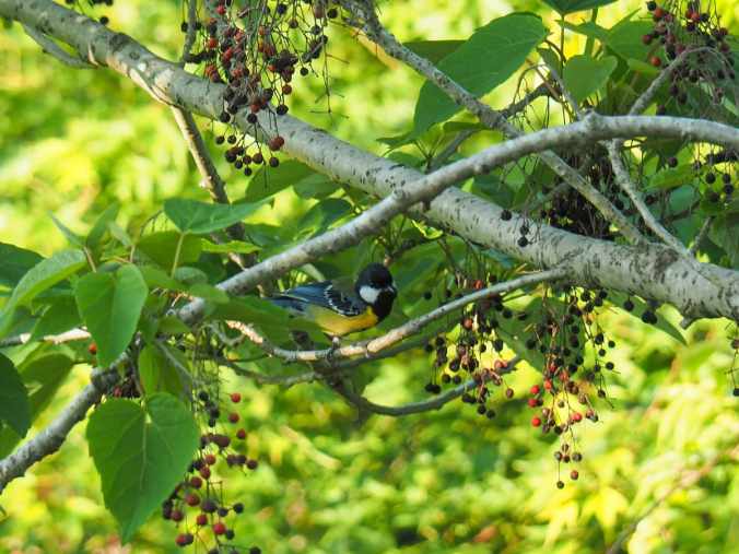
There are so many bird in the trees around Smangus. This one here is a boldly coloured green-backed tit, but I also saw Taiwan yuhinas (small, tan and sporting cute Mohawks ) and white-eared sibias.
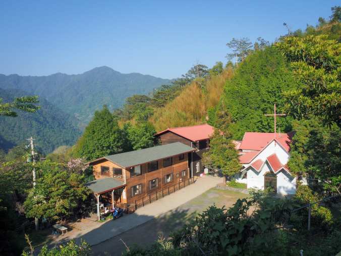
The village’s church. A little further down beyond this is the small elementary school.
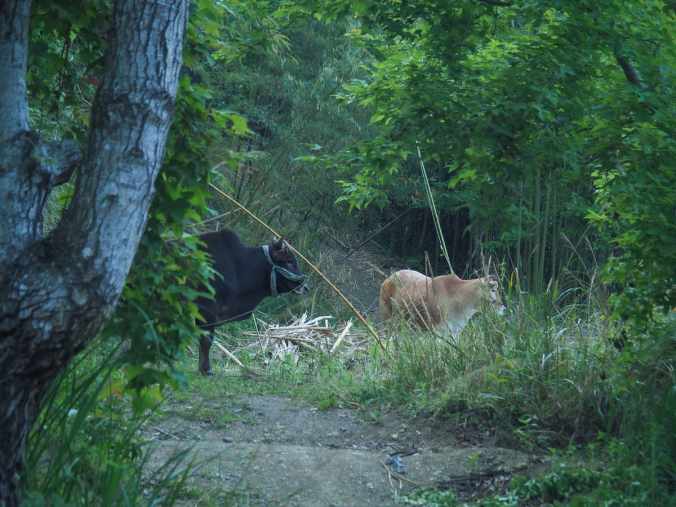
Some of the village cattle.
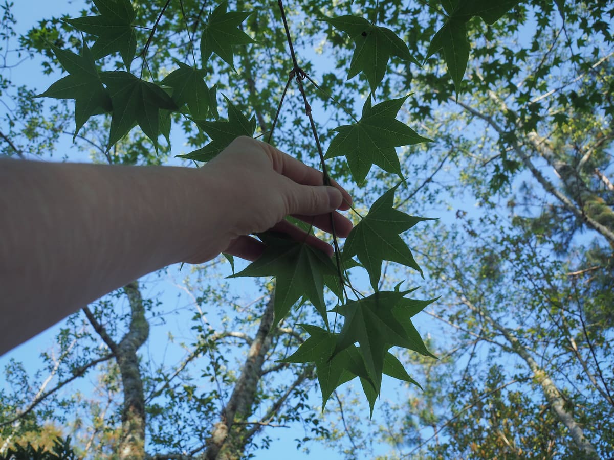
Layers of hills and sweet gum tree leaves.
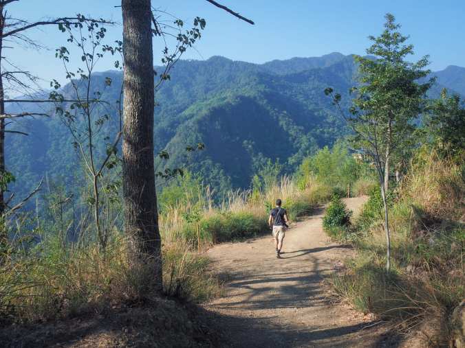
The views and exposed nature of the final 100 metres of the walk up to the viewing platform make it feel like a high mountain trail.
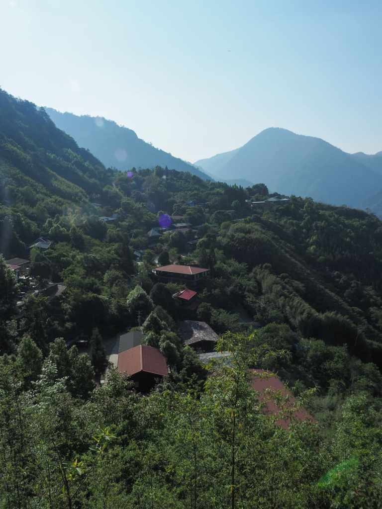
From here, you can see the buildings of the village scattered over the distant slope, surrounded by cherry trees and bamboo.
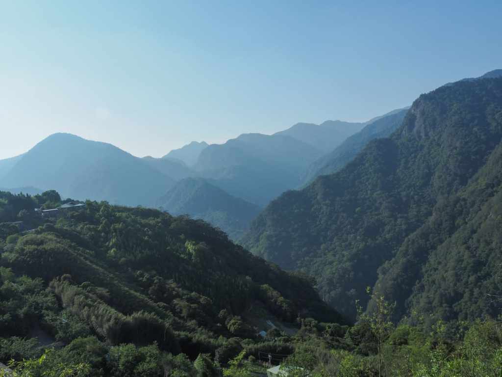
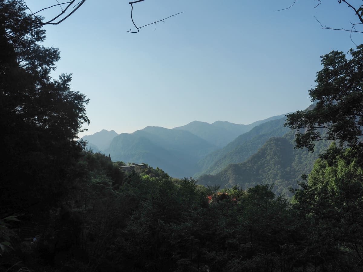
To the right of the village, the slope runs down to Tqzing Creek and beyond that rises to steep peaks, many of which remain unnamed on my maps.
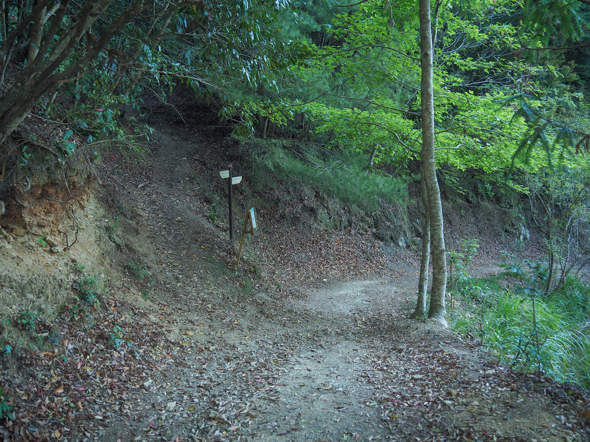
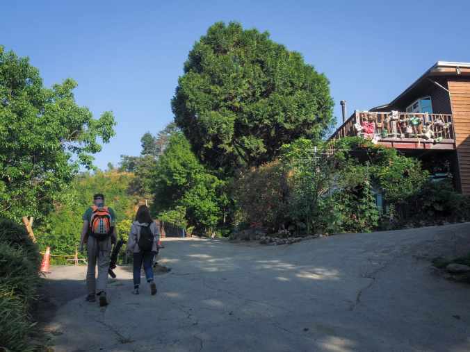
Heading back down the same way you’ve just come from, the start of Koraw Eco-Park Trail can be found on the left side of the path.
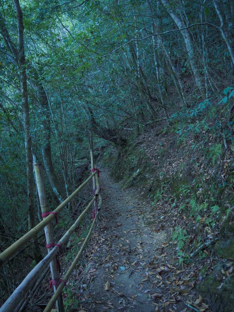
There’s a drop-off to one side of the trail, but walkers are protected from it by a fence.
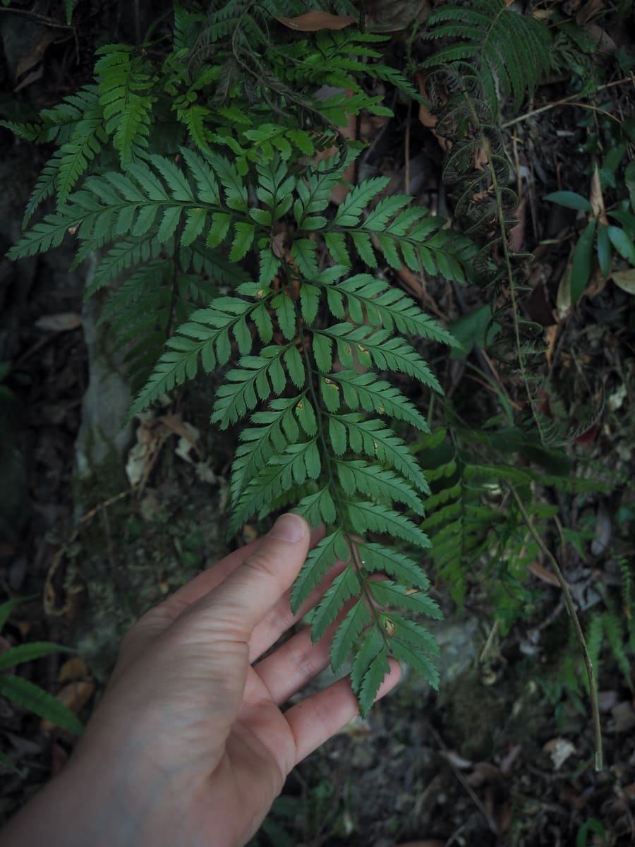
We visited on quite a dry spring day, but in the summer, I believe this area is frequently doused with rain… the number of ferns in the area certainly makes it seem like it’s usually not so dry.
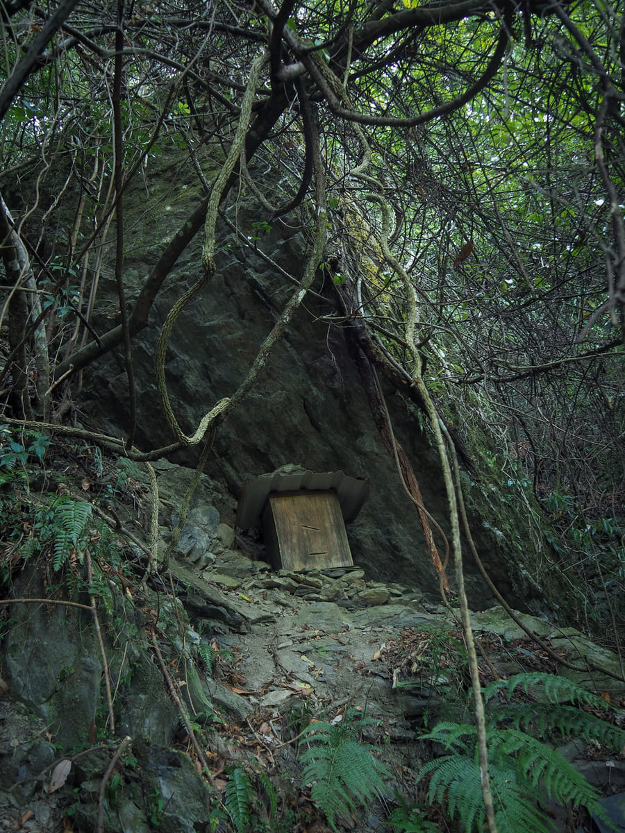
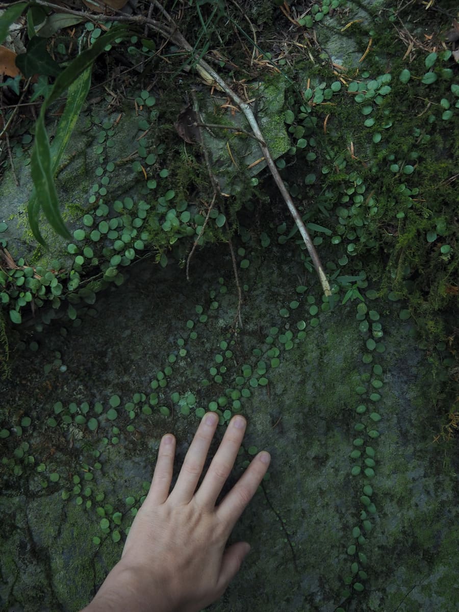
This area used to be where the village grew their millet. In fact, the name “Koraw” means something along the lines of “place where our ancestors used to return from covered head to toe in dark, fertile soil after a day spent working the earth.” I don’t think it’s been farmed for ages now, but you can see some signs of past usage, such as the remnants of an earlier trail and maybe a beehive or two.
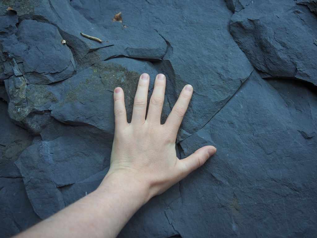
Much of the region’s bedrock is this lovely and lustrous slate that tints the river water an almost unreal blue.
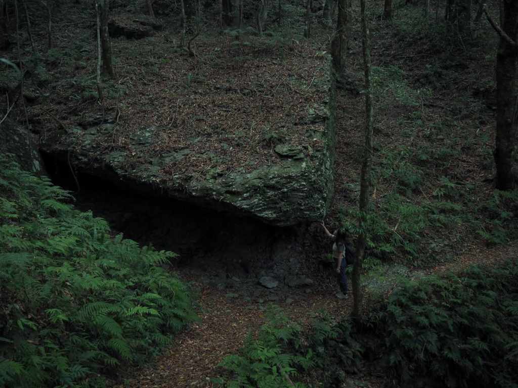
A huge hunk of the aforementioned slate beside the trail.
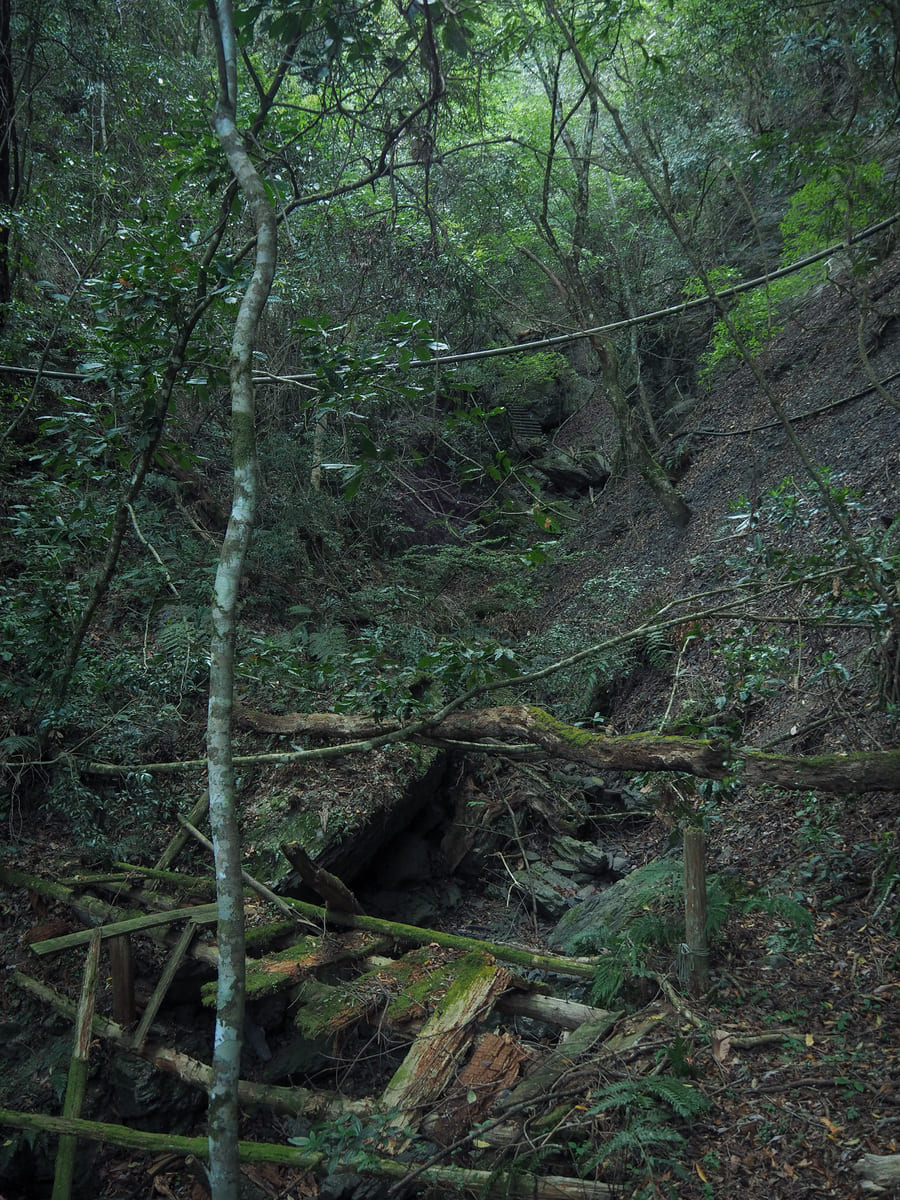
A short way beyond this, you’ll reach a junction where the signs advise you to take the left-hand path. This is the start of a short loop.
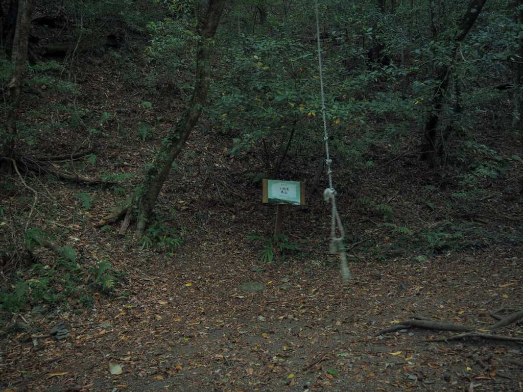
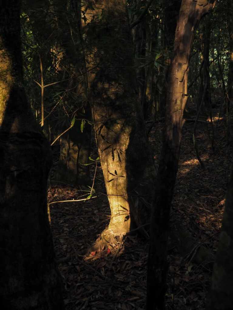
The loop took us through quiet oak forest where I enjoyed the not-yet-hot morning sunlight. Then, as the trail reaches its highest point, we found this rope swing, and of course, had a little swing before heading back to the village.
How to get to Koraw Eco-Park
Google Maps address: The walk starts from in front of the check-in area. There’s no public transport here, so you’ll need to either drive here yourself or hire a driver. The drive is pretty long (and not all that pleasant), so I would advise booking an overnight stay.
Staying at Smangus: There are several accommodation options, all of which can be booked via the tribe’s communal enterprise, Tnunan Smangus. Room rates can be found on the village’s website, but bookings must be made by calling 03-5847688. The site also has the menu and prices for the restaurant, which—given its remote location—works on an almost exclusively advanced reservation basis.
GPS location: N24 34.720 E121 20.070
Koraw Eco-Park Trail Map
GPX file available here on Outdoor Active. (Account needed, but the free one works just fine.)
