With Taiwan’s summers dragging on for a seemingly infinite length of time, there’s nothing more appealing than immersing yourself in the nearest body of water and this easy river trace in New Taipei’s Ruifang District is a top spot to stop off on a hot day.
Distance: The version of this we did was 4.2 kilometres.
Time: This isn’t a long walk, but you’ll want to take your time. I’d say 4 hours is a pretty reasonable amount of time to take.
Total ascent: There’s about 270 metres of elevation gain.
Since I don’t have so much experience with river tracing, this is a bit harder for me to rate. As far as river tracing goes, this one is meant to be a pretty easy trace, but of course, this activity comes with an added set of risks and challenges on top of regular hiking.
Difficulty (regular Taiwan hiker): 5/10 — Although this is an easy river trace, I would still put it in the moderate difficulty category. There is a steep scramble in and out of the river valley and there are sections of trail that require you to put yourself up using fixed ropes.
Difficulty (new Taiwan hiker): 6-7/10 — The challenges for someone new to hiking in Taiwan would be pretty much the same as those for experienced hikers, except you’d have less of a background familiarity with the terrain or weather patterns.
Risks and dangers: There are a couple of sections with steep drops, and river tracing always comes with the added risks associated with being in water. However, aside from one or two places, there are no deep pools, and there is absolutely no point on this trail where you have to swim unless you choose to. Naturally, weather is probably the biggest risk factory. Do not attempt to go river tracing after heavy rain or when rain is forecast. Waterways can swell with alarming rapidity, and when you’re stuck in a creek valley, there’s no way of getting out safely.
Water: I took about 0.5L and drank only some of it despite the hot weather — it’s easy to forget your thirst when you’re surrounded by water. There are a couple of mom-and-pop stores at the trailhead where you can get very basic provisions and a couple of restaurants where you can get a bowl of noodles or shaved ice when you’re done.
Shade: Depending on what time of day you go, the valley’s steep sides may or may not provide shade, but since you’ll likely be doing this walk in the summer, a sun hat is recommended.
Mobile network: Due to the terrain, mobile coverage is patchy.
Enjoyment: If you’re chasing technical or challenging, you’ll want to look elsewhere because this is a lovely easy river trace.
Safety: The number one safety rule is to know what the weather is doing. Don’t go after heavy rain and don’t go if rain is predicted. Summer storms can swell gentle streams into raging torrents fast than you can get yourself out of the way. It should go without saying, but the ability to swim should be a prerequisite for any river tracing adventure.
Equipment: You absolutely must have river tracing shoes and a dry bag for keeping your essentials in. A helmet would be sensible too (most organised tours won’t let you do even an easy trace like this without one). You might also want to consider gloves to protect your hands from all of the rocks.
Bathroom facilities: There’s a bathroom block by the temple at the start of the walk.
Route type: There and back.
Permit: None needed.
Jump to the bottom of this post for a trail map and GPX file.
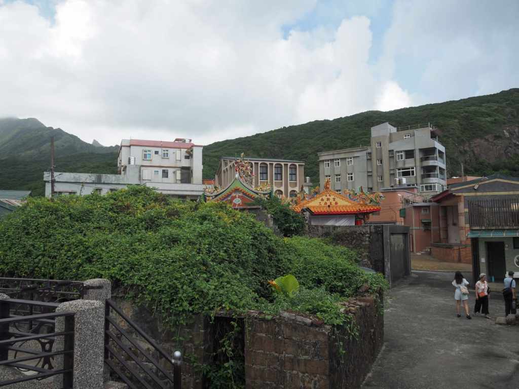
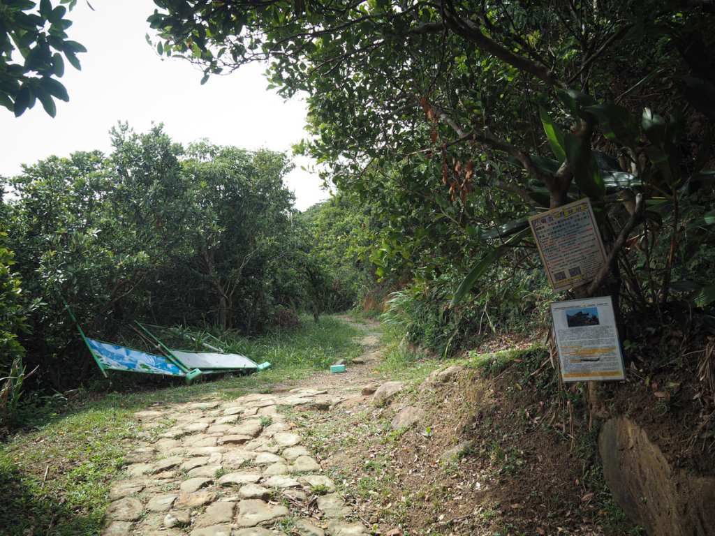
Starting from the coastal village of Nanya, we headed inland past Nanxin Temple (南新宮) and past a smattering of shops selling shaved ice and noodles, bound for Mount Nanzilin Trail (南子吝步道). I was last in the area when I revisited Stegosaurus Ridge. At that time, Mount Nanzilin Trail was closed for maintenance, so I had to detour through farmland, but it has reopened, and this has become the official start of the Stegosaurus Ridge Trail (or rather it has for those who don’t feel comfortable trespassing).
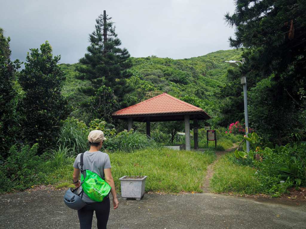
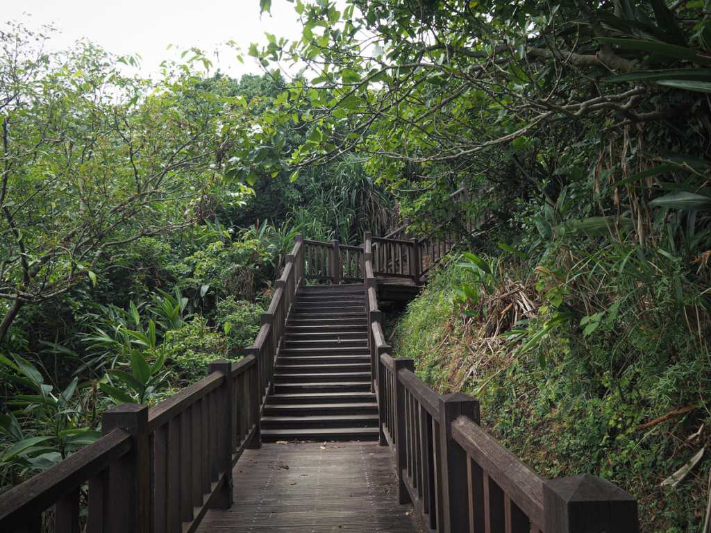
From the somewhat overgrown pavilion at the trailhead, the path cuts across a long-abandoned courtyard where a banyan tree is propping open a door in perpetuity, and from there, it swiftly begins climbing raised boardwalk steps.
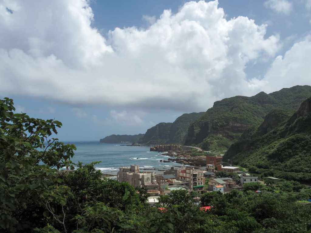
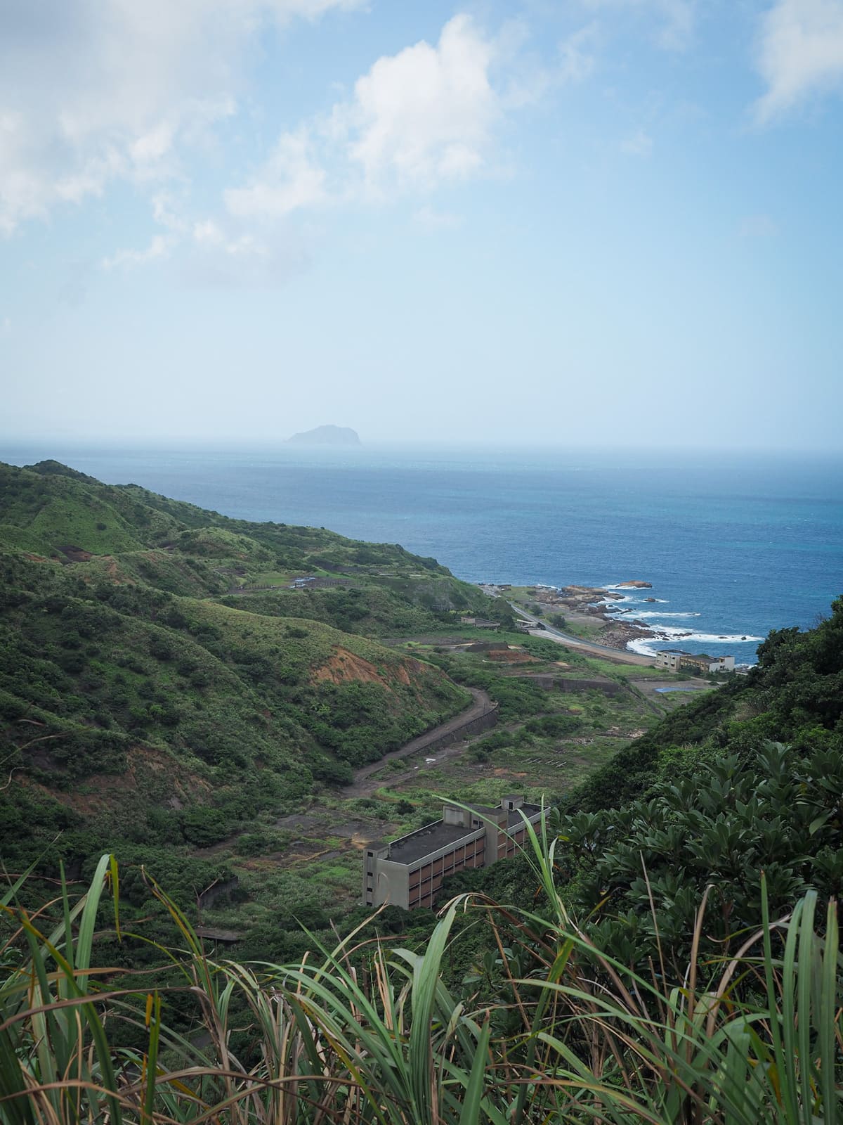
A platform beside the trail offers a quick chance for a breather as you look back down towards Nanya and the rocky coastline.
Before you reach the summit of Mount Nanzilin, look out for what looks like a farm track (it almost certainly isn’t a farm track) heading away at the apex of a bend in the main path. It hasn’t got any official signage, but it is handily marked by posters warning of the dangers involved in climbing Stegosaurus Ridge.
A couple of minutes after leaving Mount Nanzilin Trail, we turned off the track to follow a narrow dirt trail heading up to the right.
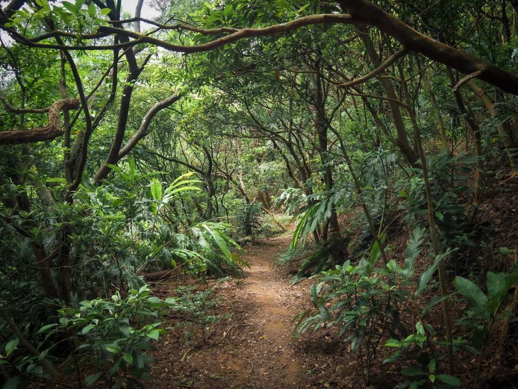
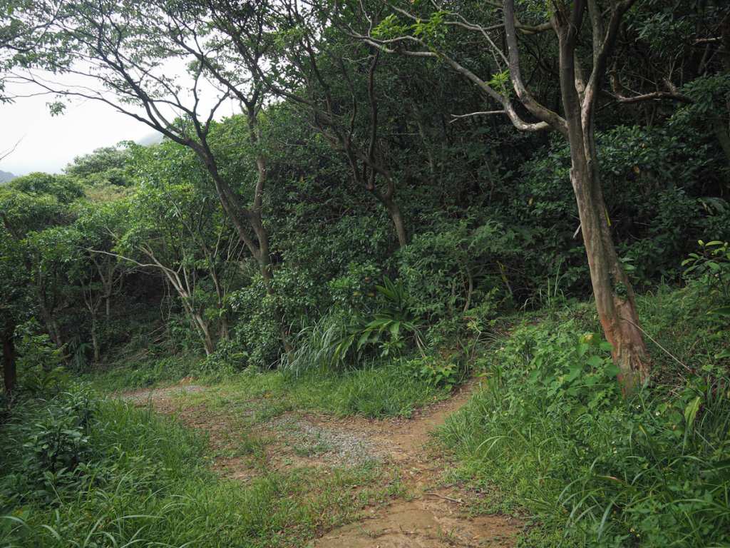
From here on out, this is where things start to get interesting. For the next 15 minutes, we followed a pleasant trail up and down through scrubby woodland where the ground bore obvious signs of foraging. The way was marked by occasional hiking tags, but it was pretty easy to follow anyway.
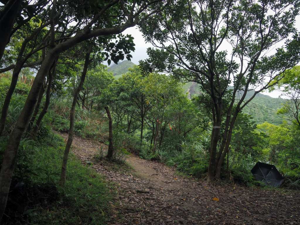
Although the picture doesn’t make it all too clear, this is a four-way junction. We headed straight over and began our descent towards Banping Creek.
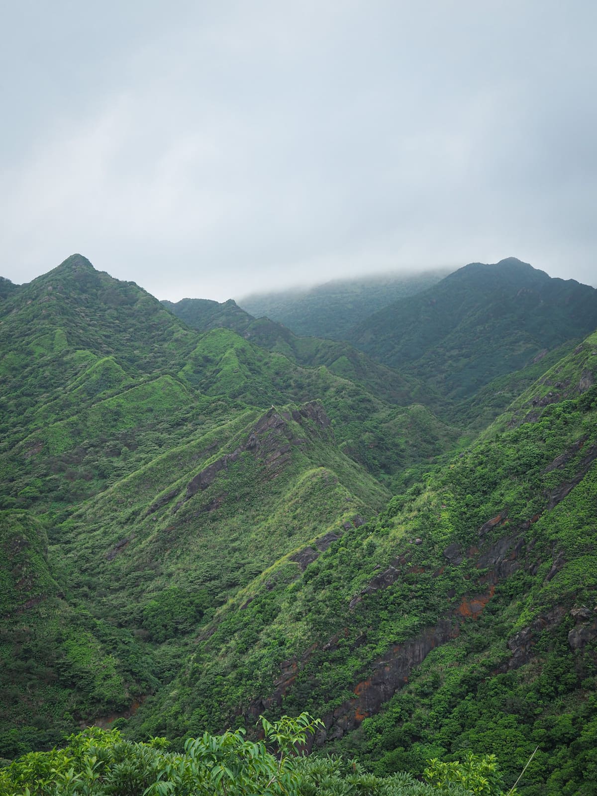
A short way down and just off the trail there is a viewpoint where you can pause to admire the jagged ridges.
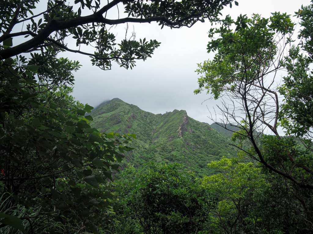
The wobbly spine of Stegosaurus Ridge climbing up towards Mount Banping.
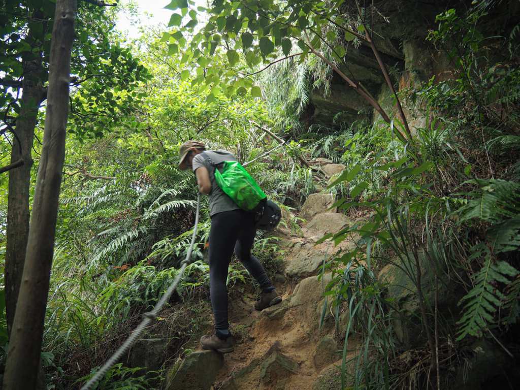

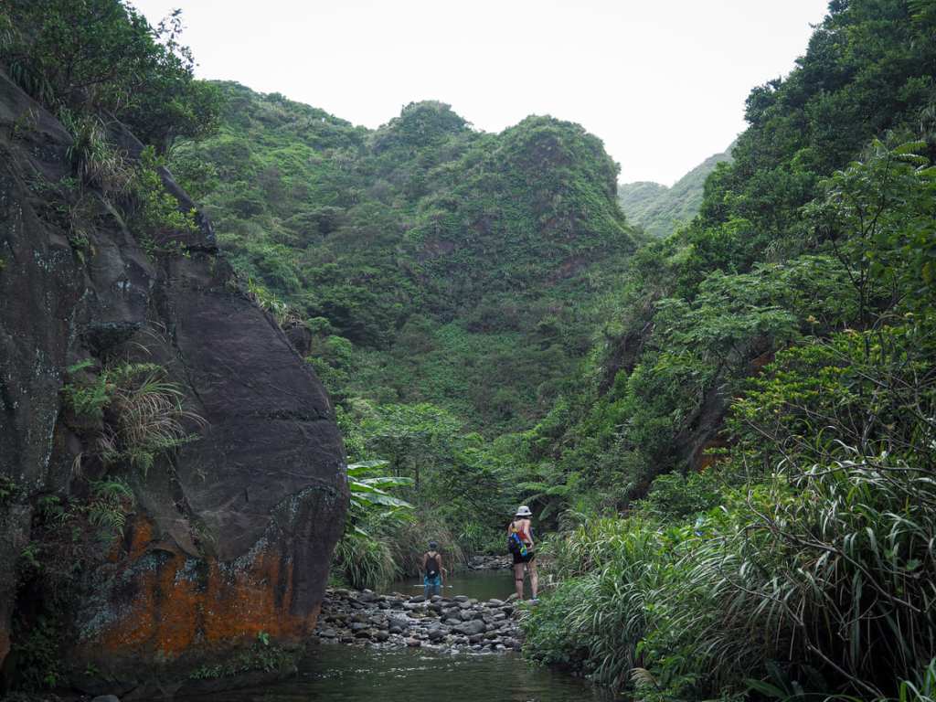
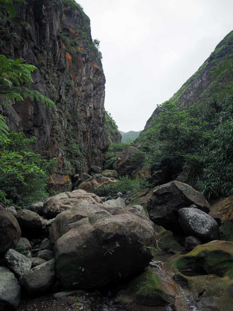
From the lookout spot, the trail descends steeply as it heads down to join Banping Stream. There are lots of ropes and roots to provide extra assistance.
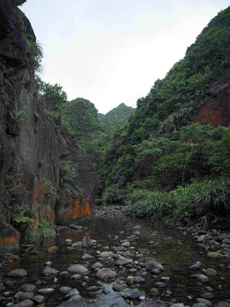
Just upstream of the point where the trail joins the water, the stream turns a bend and disappears. It gives the route an inviting, mysterious air.
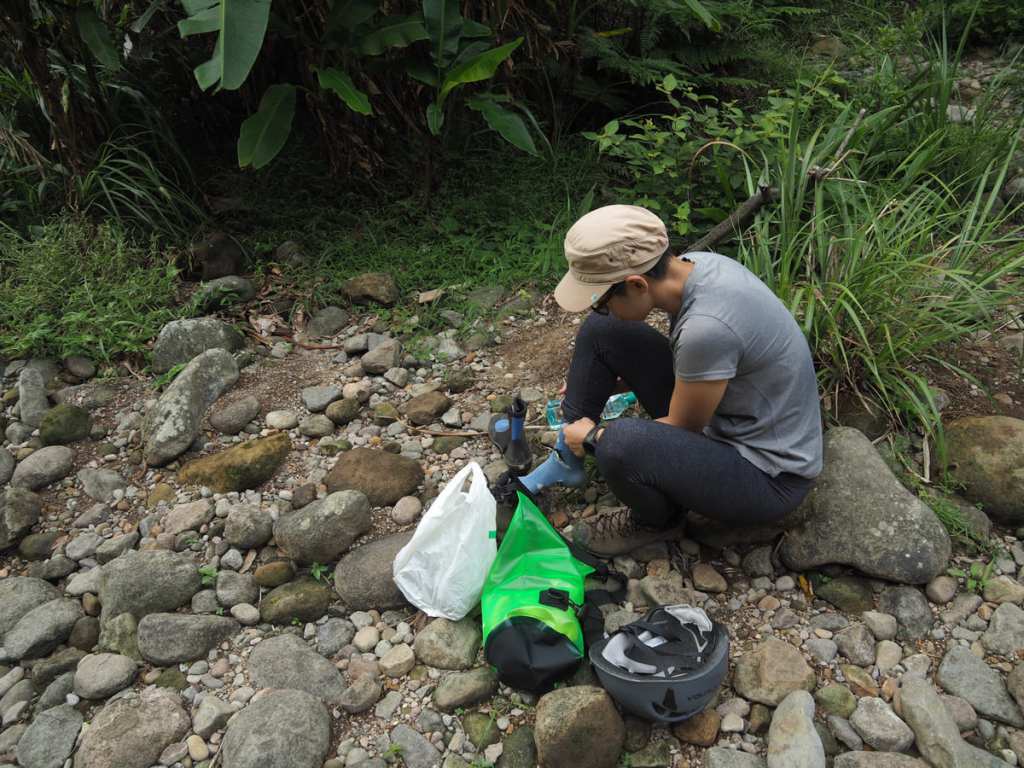
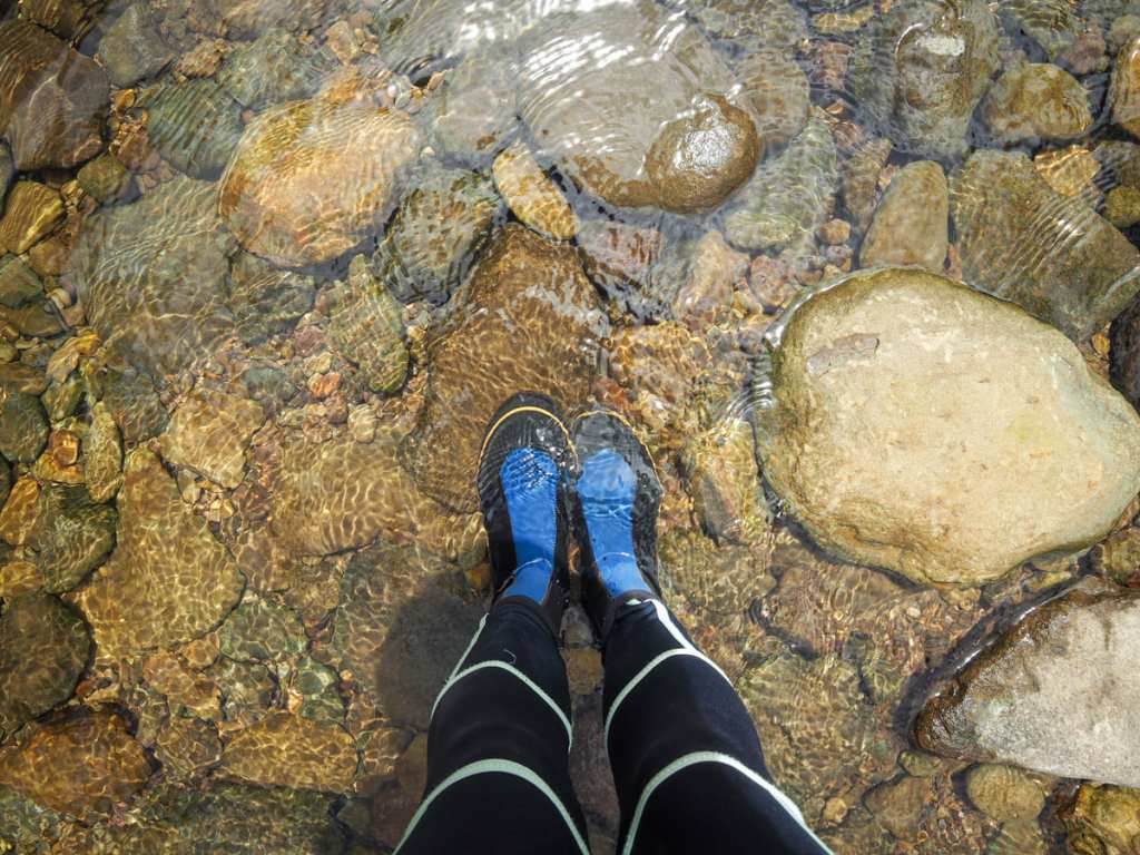
Since we’d hiked up in our trail runners, we found some handily places rocks to sit on while we switched into river tracing boots.
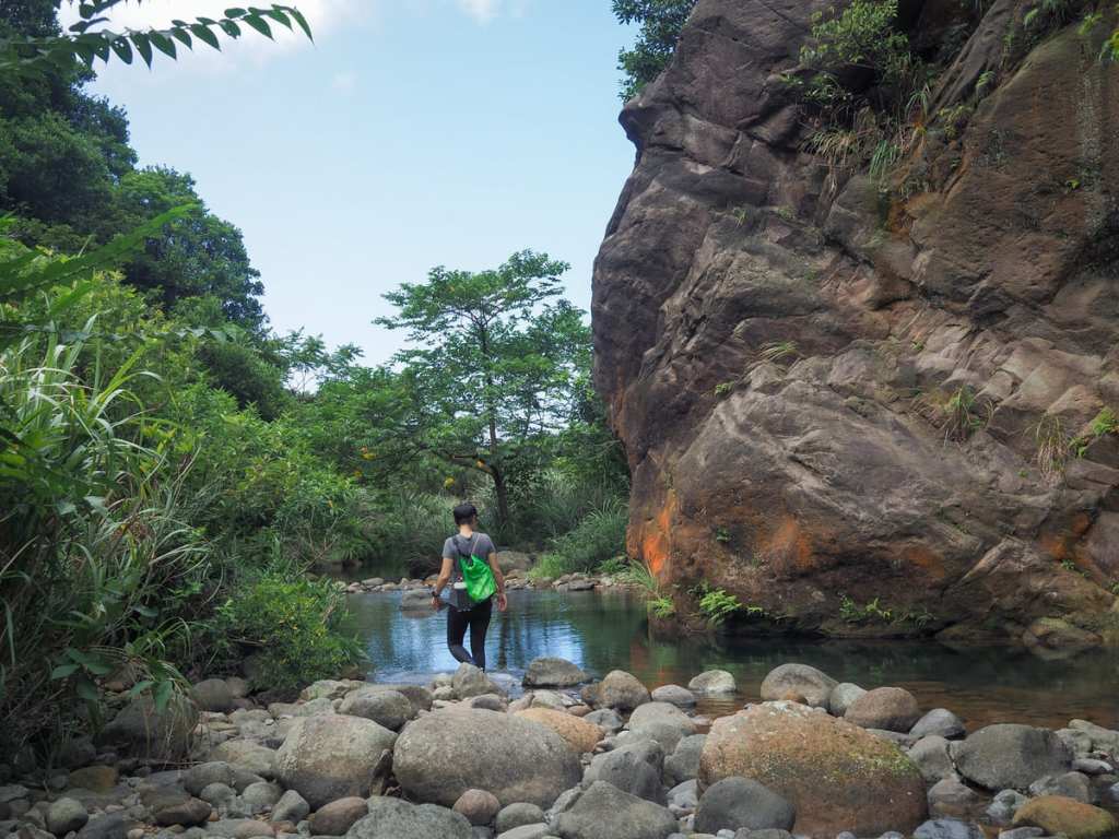
Stepping into the water as we set off, the stream mostly came up to our mid-calves, with pools deep enough to reach our thighs in spots.
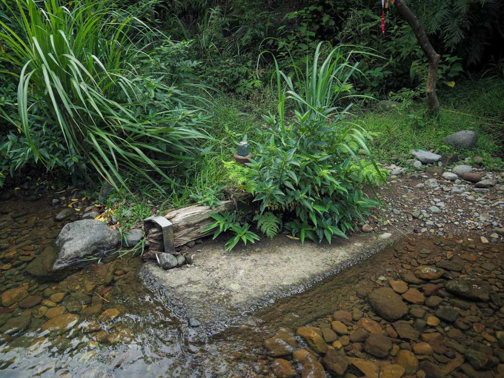
Not far from the start, there are a few signs of the region’s historic industry. I’m not sure what era they would belong to or what function they may have had, but this whole area was full of mines and facilities related to processing what came out of them from the late Qing-era, through the Japanese occupation and beyond, so it almost certainly has something to do with that.
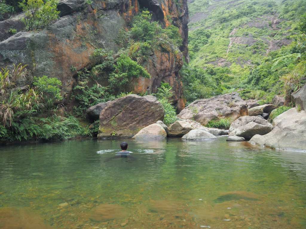
In a handful of places, the steam widened and deepened enough to allow for swimming. It was just about possible for me to touch the bottom at the deepest spot, but Teresa (who is a few centimetres shorter than I am) sank beneath the surface when she tried.
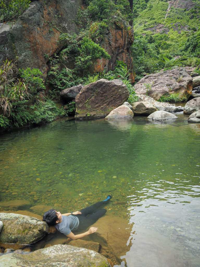
Since this is quite a short trace, it is absolutely worth stopping and luxuriating in the cool waters at each opportunity.
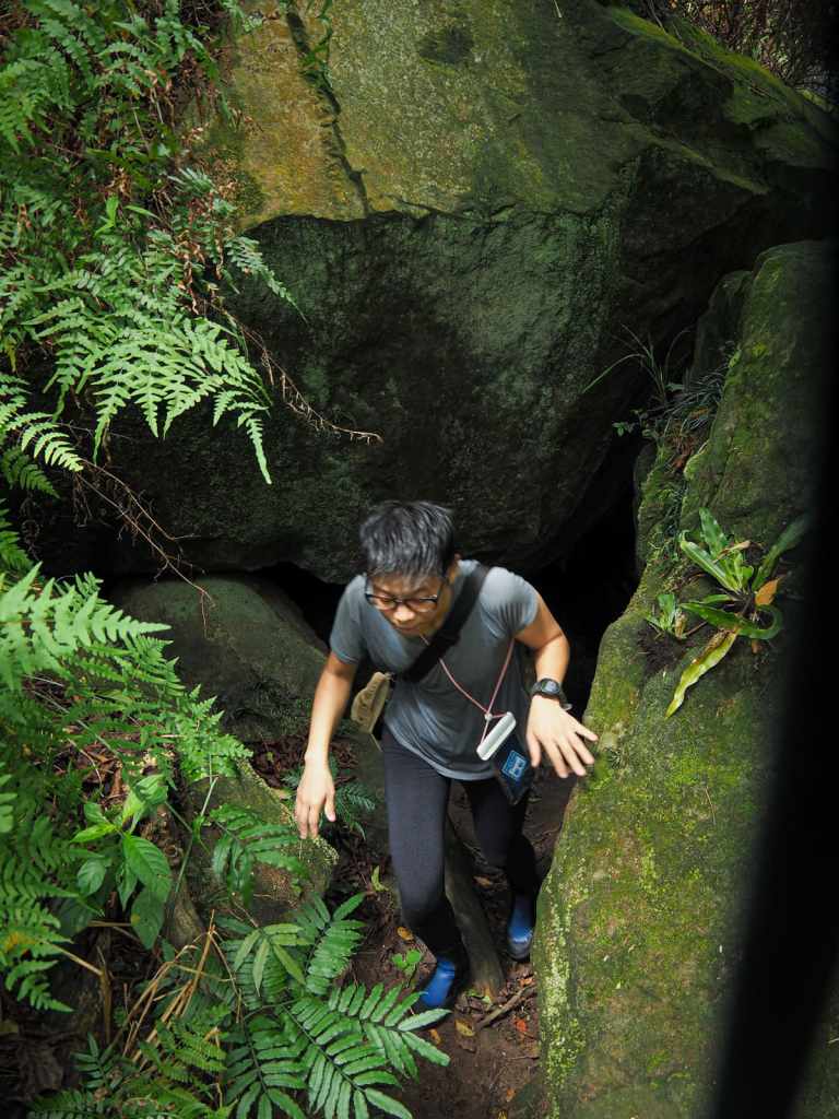
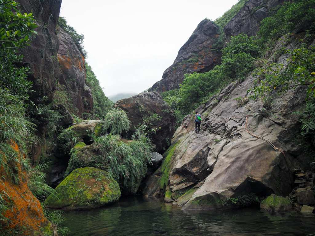
For the most part, we just had to pick our way along the stream through small pools and over rocks, but in one or two places, we found ourselves clambering up a path beside the water. In one spot, the path squeezes through a narrow gap between haphazardly fallen boulders.
In another spot, the water disappears into a concealed fall, and the trail scales a sloping slab — scrambling up here is only possible with the assistance of fixed ropes.
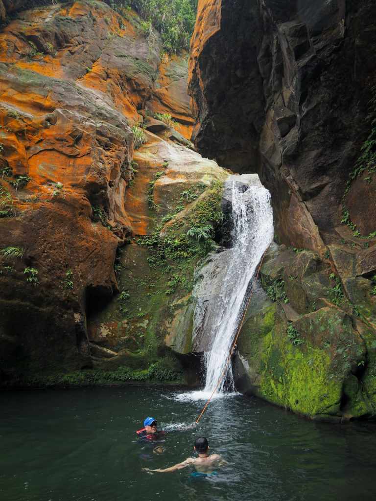
Once you clear the obstacle in the previous photo, it’s just another few minutes until you reach the Dagui Waterfall, the location that serves as the destination and turnaround spot for this east version of the trace. (Some people push further up, but since neither of us is an experienced tracer, we were content to conclude our journey here.)
We took out our lunch and sat on the rocks at the edge of the pool and watched other more adventurous folks scale the wall next to the falls so they could jump off. Then, lunch eaten and break taken, we turned back and retraced our steps all the way back.
How to get to Dagui Creek
Google Maps address: The walk starts from Nanxin Temple on the coastal Provincial Highway No. 2. There’s a car park on the opposite side of the road from the temple.
GPS location: N25 07.205 E121 53.240
Public transport: Getting to the start – Take the train to Ruifang, then walk a few minutes to catch the 886 Tourist Shuttle service from Ruifang Train Station (District Square). Alight at Nanya (Nanxin Temple).
Nearby trails:
Dagui River Trace Map

GPX file available here on Outdoor Active. (Account needed, but the free one works just fine.)
