Bamboo and Tea Terraces in Chiayi County
This beautiful trail in the hills of Chiayi’s Fanlu Township has been voted one of the top 100 trails in Taiwan and it’s not hard to see why. Wisps of mist weave through bamboo and a sea of clouds laps at tea-covered slopes — it is a quintessentially Taiwan trail.
Distance: A little under 5 kilometres with options to make it shorter.
Time: 2-3 hours. We spent about 2 hours and 20 minutes here at a slow but steady pace.
Difficulty (regular Taiwan hiker): 1.5-2/10 – Some steep steps, but they’re regular and well-maintained.
Difficulty (new Taiwan hiker): 3/10 – The steps and elevation gain would be the hardest part if you’re not used to hiking in Taiwan.
Total ascent: About 260 metres.
Water: Teresa and I took a small bottle between the two of us on a cool day, but my parents didn’t take any. In summer you’d certainly want at least 0.5L.
Shade: Almost no shade at all. Even on a cloudy day, I got a slight sunburn, so make sure to take some protection if you have sensitive skin.
Mobile network: Clear mobile coverage throughout.
Enjoyment: There are bamboo groves, tea terraces, great views, and places to stop for drinks on the way back.
Bathroom facilities: There are toilets at the start of the trail (bring your own paper).
Route type: We walked a loop, but most people do a there-and-back walk.
Permit: None needed.
Jump to the bottom of this post for a trail map, GPX file, and transportation information.
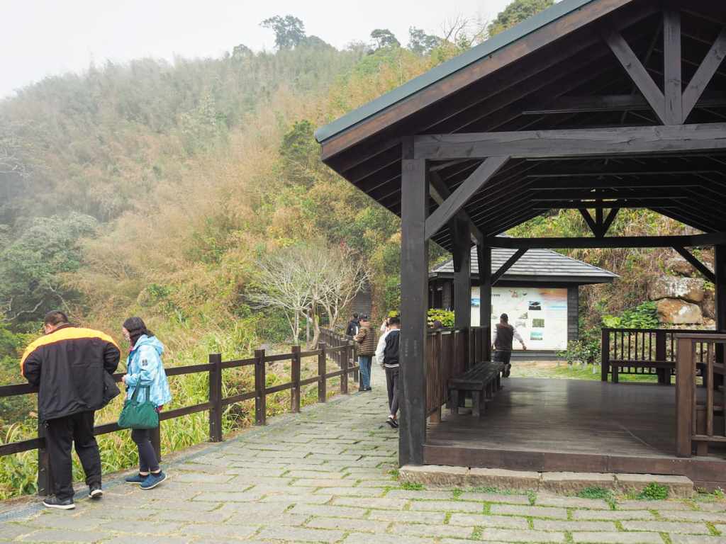
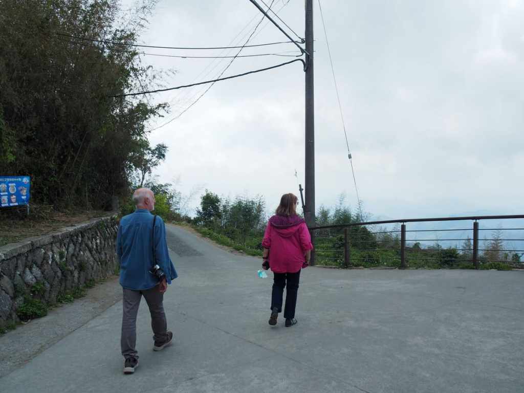
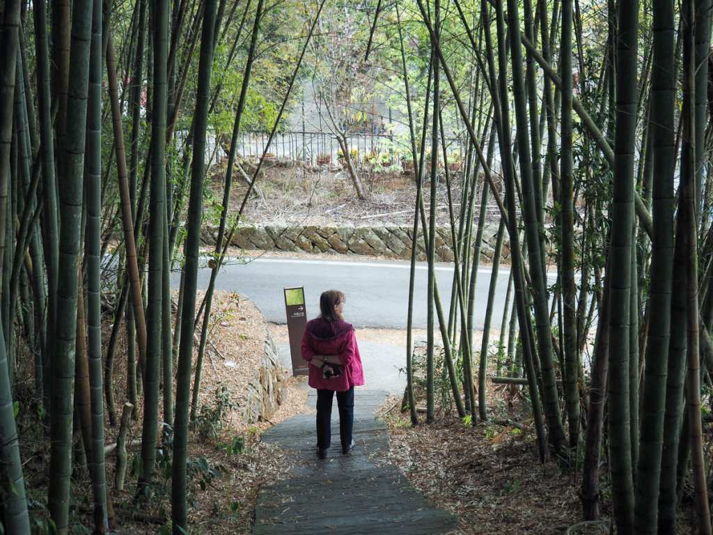
We parked up beside the road close to the start of Eryanping Trail and made our way towards the small land god temple and pavilion which mark the start of the walk. There are also toilets here.
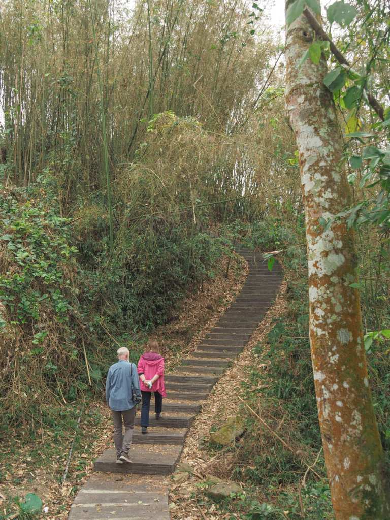
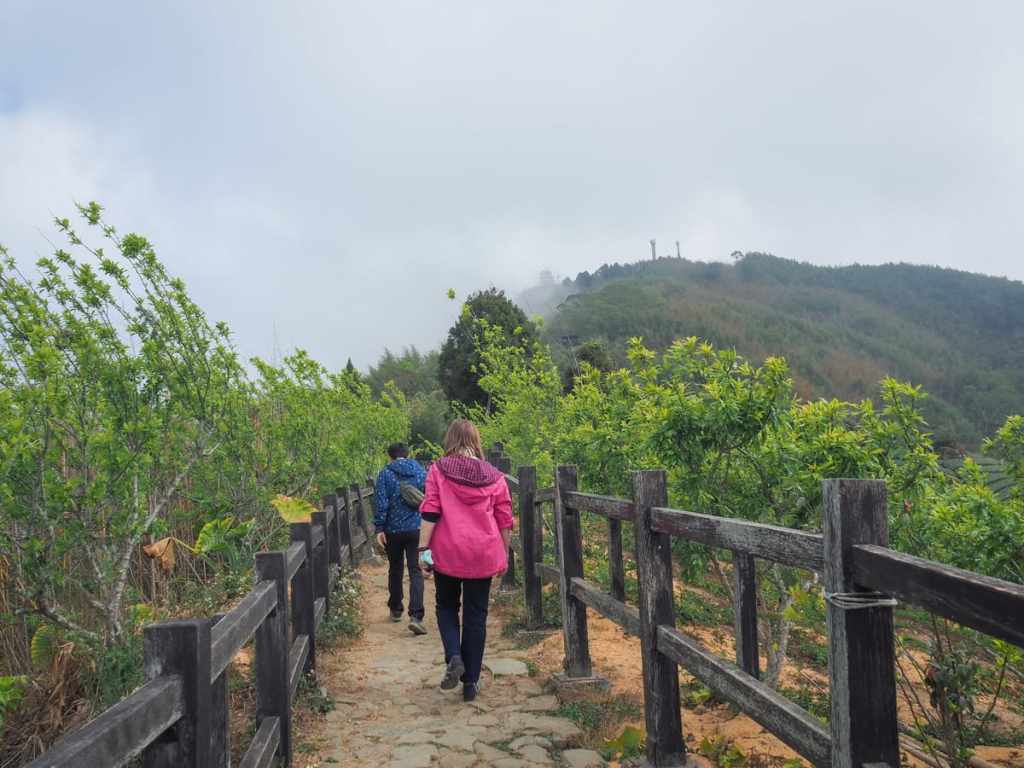
The first little part of the walk climbs steeply through bamboo. We got stuck behind another older couple for a while. Every time they turned a corner and saw the steps continuing, they emitted noises of exasperation, which entertained mum and dad.
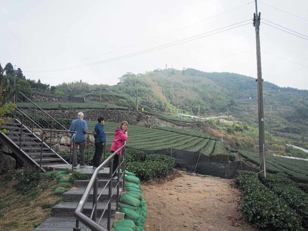
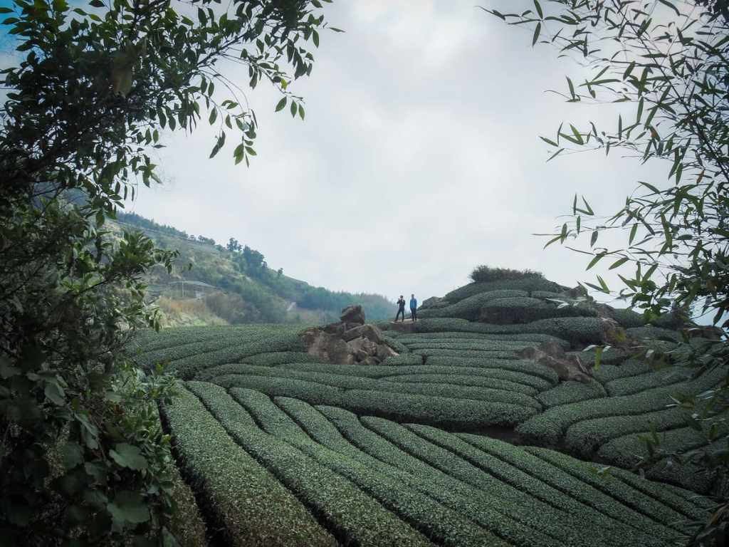
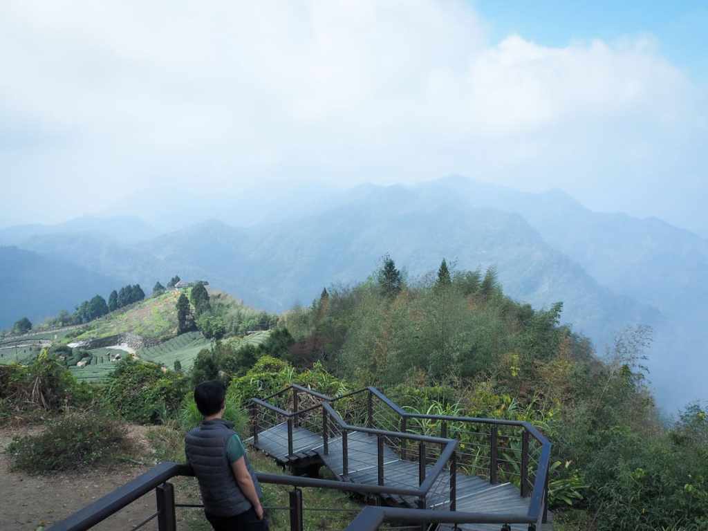
After about fifteen minutes of climbing without any views, we found ourselves at the edge of some tea fields. My parents had seen tea terraces from the car as we drove past, but this was the first time they’d seen them up close.
There are several pavilions and rest areas along the route, all of which look pretty well maintained.
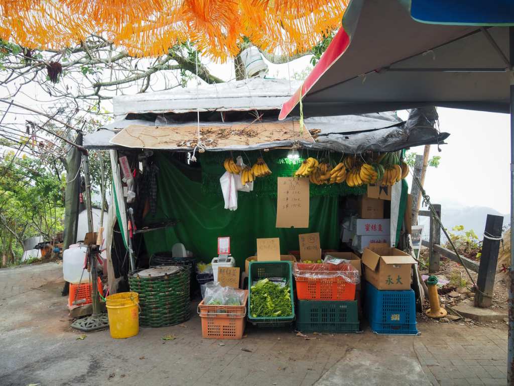
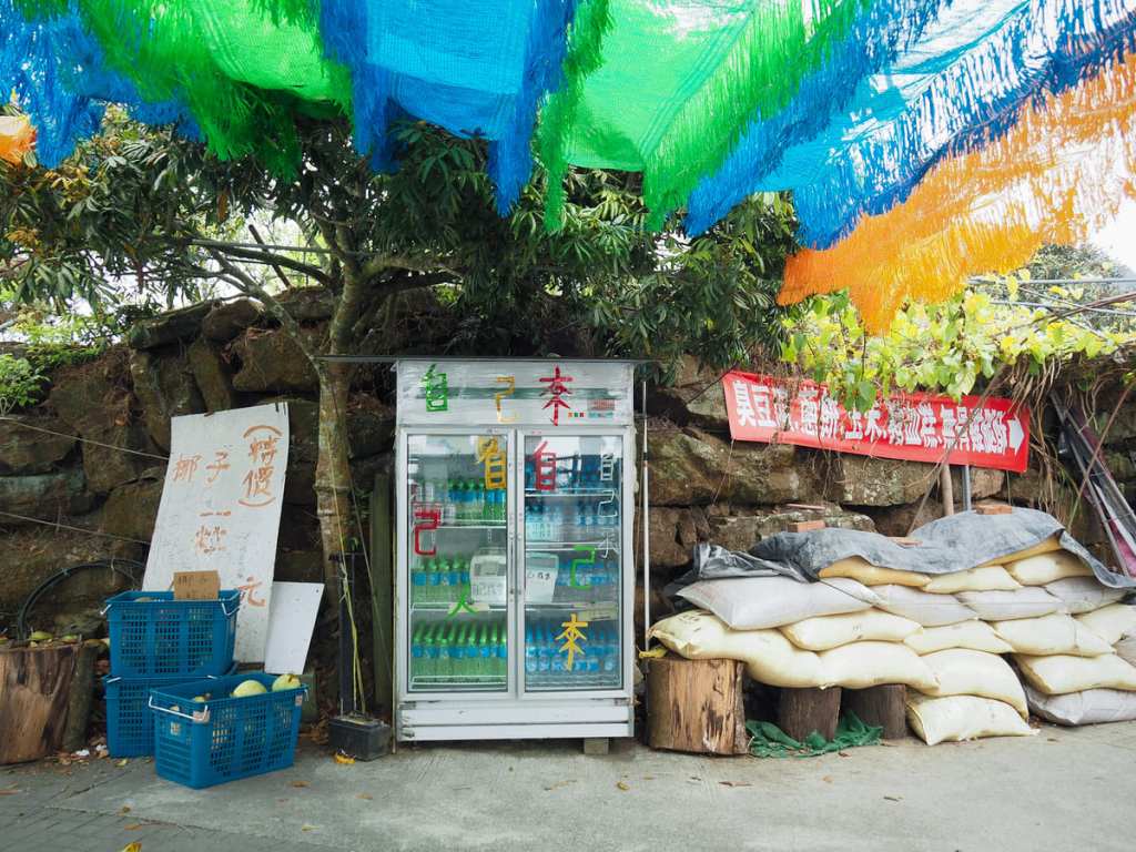
Part-way up the ridge, there’s an area shaded by the kind of tasseled plastic you see at car washes and swimming pools. An enterprising local farmer has set up a self-service stall selling fruits, vegetables and chilled drinks. There were even a couple of crates full of coconuts with a chopping block and huge curved blade.
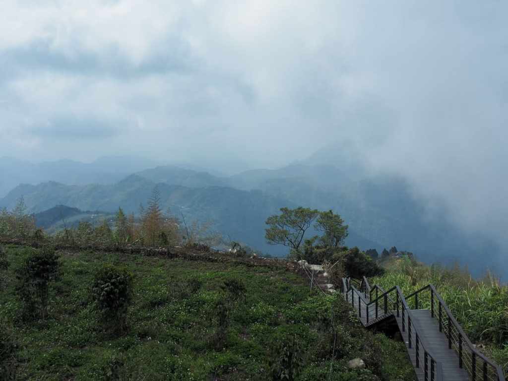
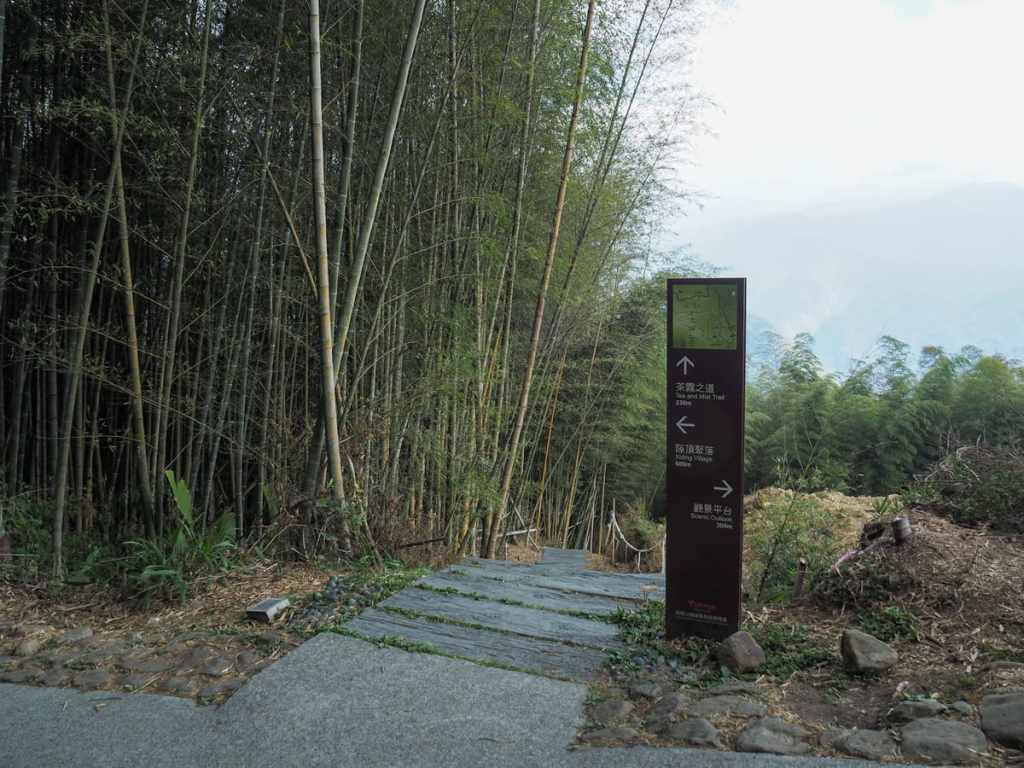
The path climbs a little more, then levels out for a very brief spell.
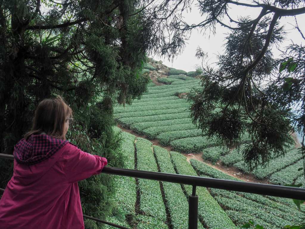
To the left, there’s a steep drop to the distant valley below, and to the right, there are many rows of tea.
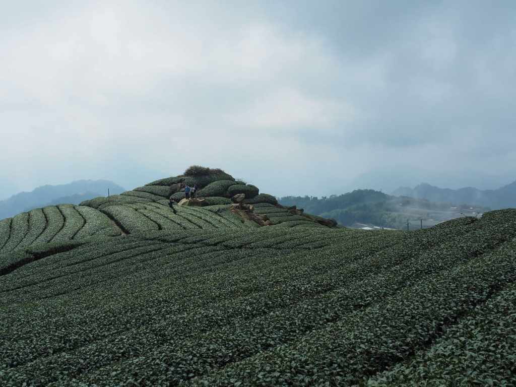
There was a little collection of rocks that was attracting the attention of all the other walkers. It seemed to be the most popular photo spot along the whole trail.
Just as the steps lead you to another pavilion, there is another great view looking back over where you’ve just climbed from.
From up here, you can see the photogenic rocks and the first pavilion. We paused here for a while to let everyone catch their breath, and met a shy but friendly six year old called Wilson who wanted to know where we come from.
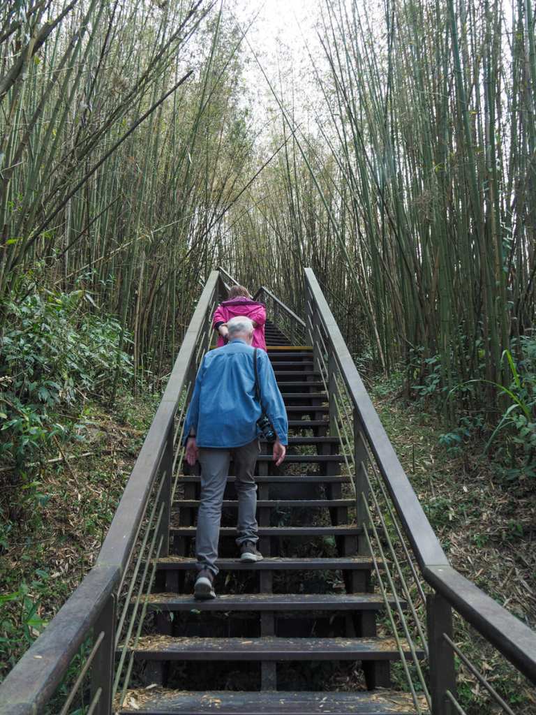
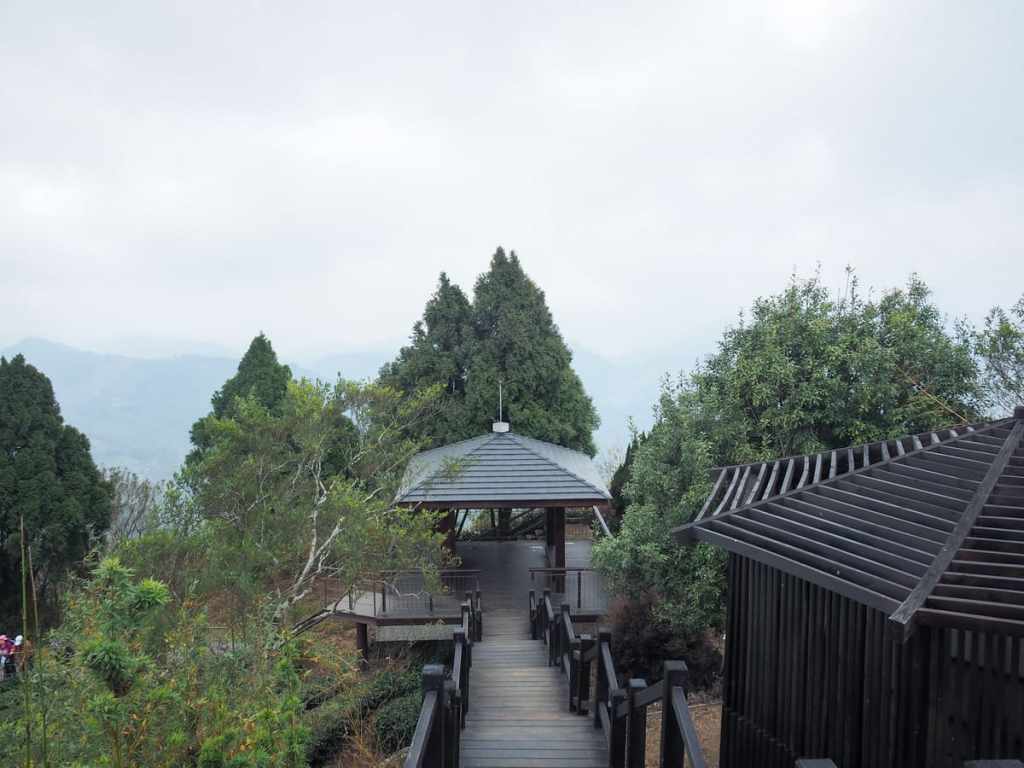
We had to made one final push up some bamboo lined steps, and then the pavilion at the top of the steps was in sight.
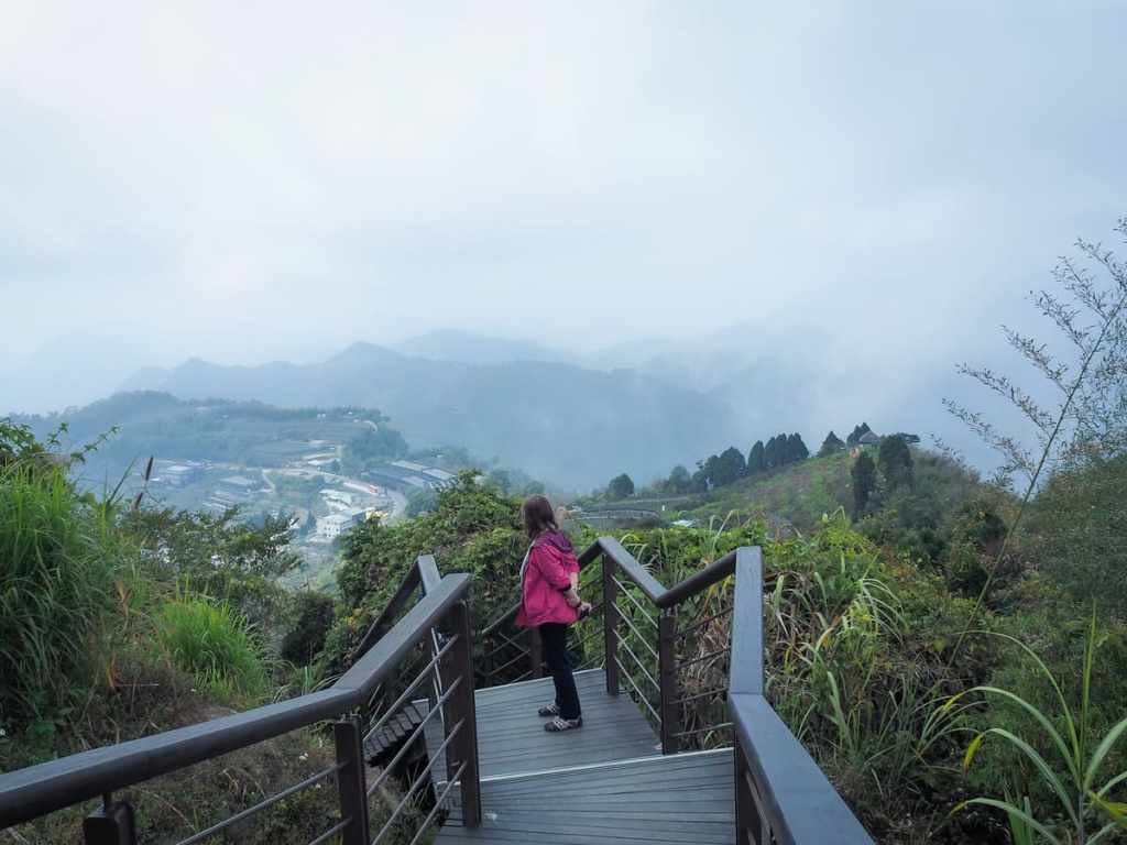
There are also several benches a little further away which would probably have a great view in clear weather, but we couldn’t see much more than cloud. Most people turn back around and head down the same way, but it seems that my parents share my preference for loop walks, so instead we turned right and started to follow the road downhill.
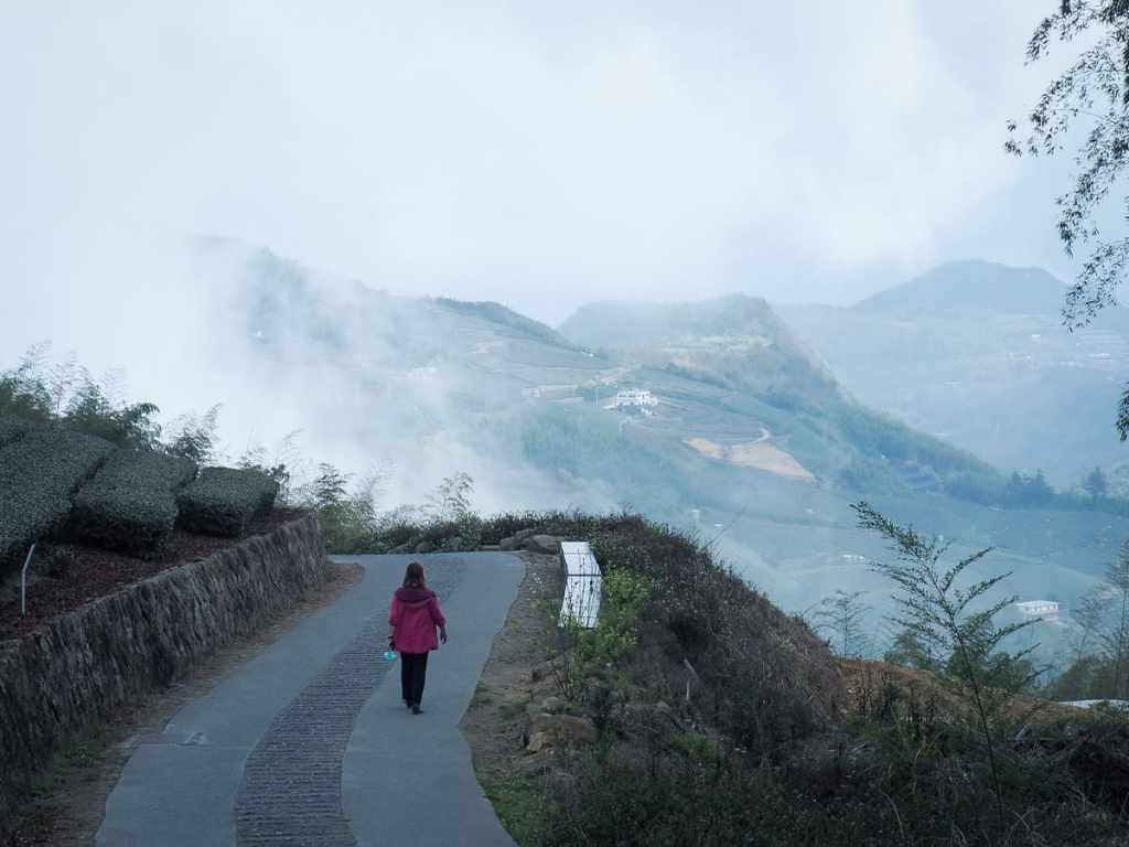
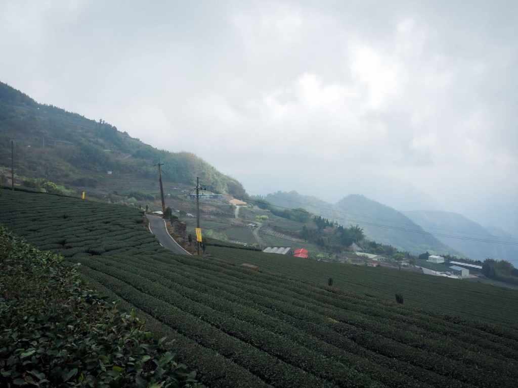
Our curiosity was rewarded when we turned the corner and found this beautiful view waiting for us.
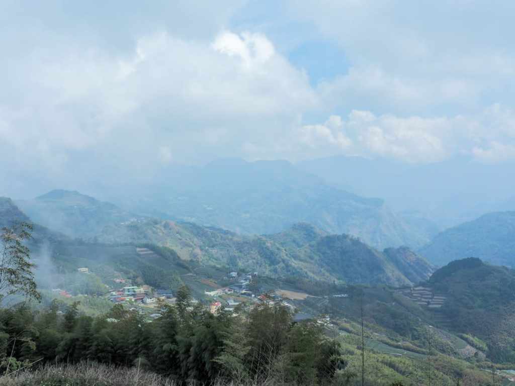
The clouds had lifted slightly and we were able to see down to some of the houses and farms lining the road through the hills. It’s really lovely to be able to share things like this with my parents and show them what it is that makes me so happy here.
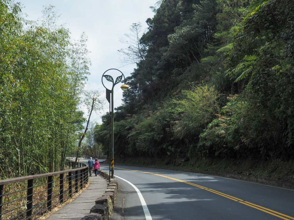
We turned right down a flight of steps, then right again when we rejoined the road. We then followed this little lane all the way down to the main road (although I think we could have taken a farmer’s track instead if we’d wanted to).
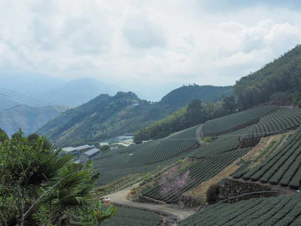
The single-lane road wound down through more bamboo and tea terraces, and we had to step to the side numerous times to make way for the cars which had driven up to the viewpoint at the top.
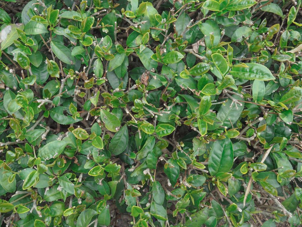
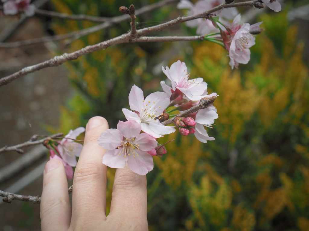
Some close-ups of the tea leaves (as mum discovered, no, they don’t smell like tea) and cherry blossom that we saw on the way down.
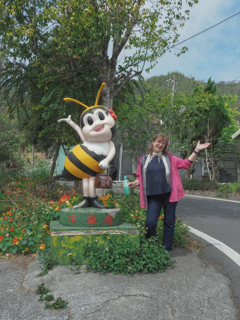
As we neared the main road, we passed this sassy tea-hawking bee.
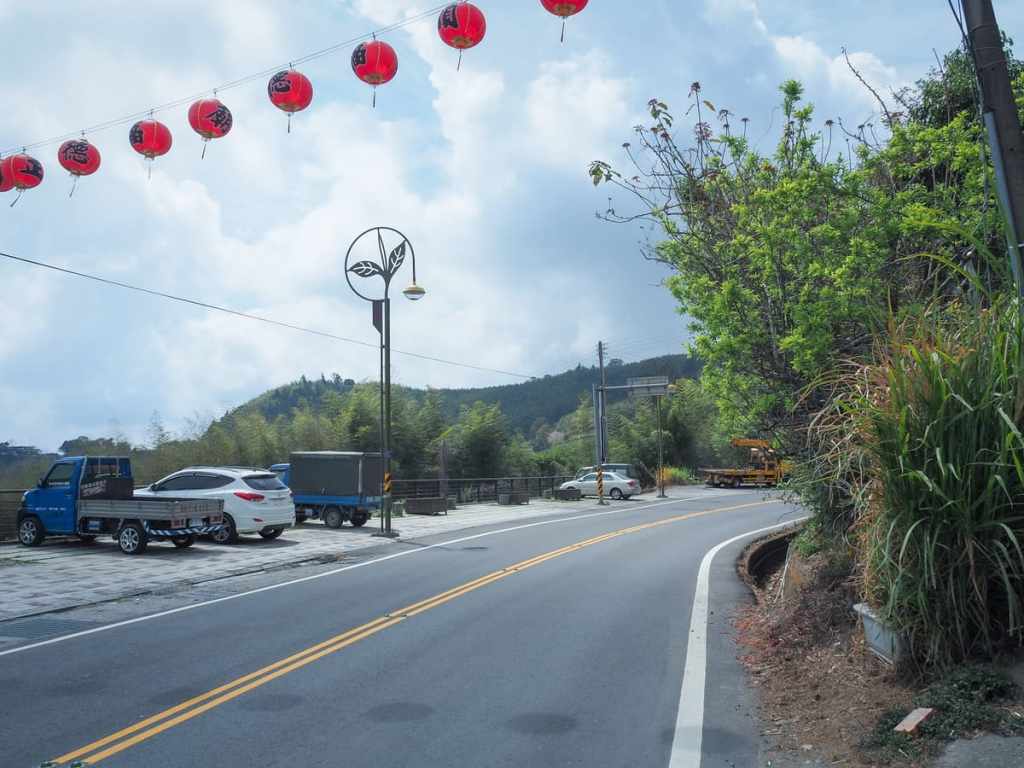
When we hit the road, we took another right, then followed it all the way back to where we’d started. Somewhat surprisingly for Taiwan, we were able to enjoy walking on a wide pavement the whole way back. We had hoped to get a coffee from one of the stores right at the place where we’d started the walk (there are quite a lot of tea and coffee shops along this stretch of road), but the good ones were all closed on a weekday, so we had to get back in the car and go a little further afield to find our caffeine fix.
How to get to Eryanping Tea Trail
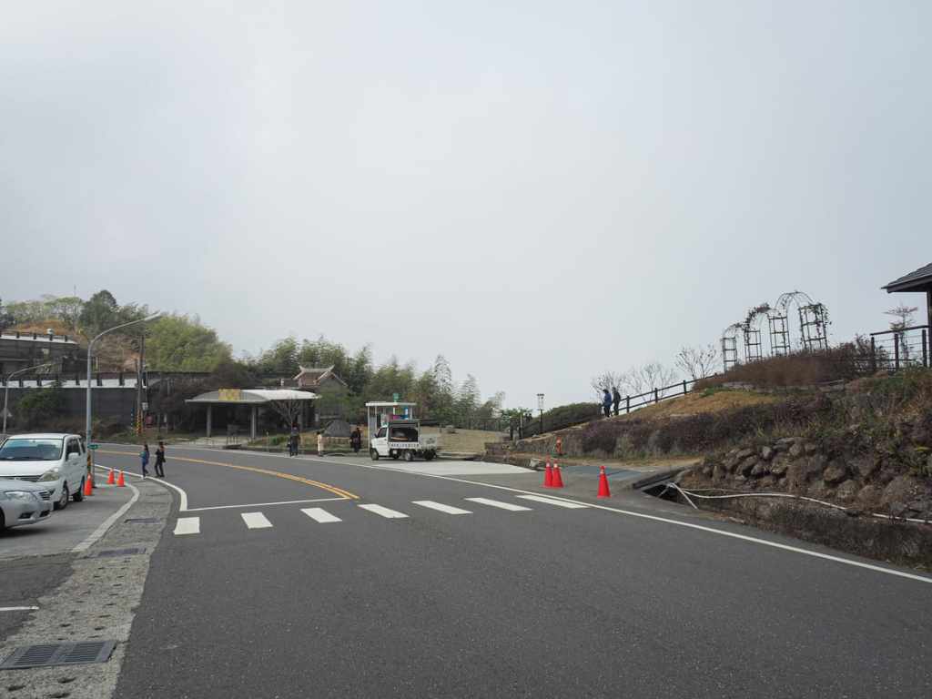
Google maps address: The trail starts on Provincial Highway 18 close to a bus stop. We visited midweek, so there was space to park in the free roadside spaces, but on weekends, you’ll likely need to park in the designated carpark just down the road.
GPS location: N23 25.050 E120 39.050
Public transport: There are buses to the trailhead. The 7329 Taiwan Tourist Shuttle from Chiayi HSR stops here, as do the 7322 and 7302 from Chiayi TRA station. A complicating factor is that these buses are often booked in advance by people visiting Alishan, so on weekends and holidays, it might not be possible to just turn up and bag a seat. Midweek should be OK though.
Nearby trails:
- Fenqihu Cedar Boardwalk Trail
- Fenqihu Mount Dadong
- Fenqi Trail
- Fenrui Historic Trail
- Tefuye Historic Trail
My new words learnt on this hike:
- 吸塵器 / xīchénqì — vacuum cleaner
Eryanping Tea Trail Map
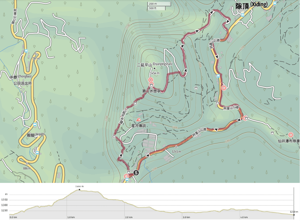
GPX file available here on Outdoor Active. (Account needed, but the free one works just fine.)

Great article!
LikeLiked by 1 person
Thanks! It took long enough, but it’s out there now.
LikeLike
absolutely the best. Including the difficulty, how long the trail is and what options to expand on left nothing to ask.
wish you would write for all the places I am considering.👍👍👍
LikeLiked by 1 person
Thank you so much for leaving such a lovely comment. The encouragement couldn’t have come at a better time. I’ve been feeling a little despondent in recent weeks over the fact that it feels like my writing is simply feeding AI, so it’s very welcome to hear from someone who found it helpful.
I’d love to have the time to write about all the places! That would be the dream.
LikeLike