Songluo Trail (also written as Sungluo Trail on local signage) is a very scenic waterside hike in Yilan’s Datong District that is perfect for keeping the summer heat at bay. It is tucked into a valley near to the Tayal Indigenous village of Syanox (Songluo is the Mandarin name), and in the past, it was a hunting trail for the village residents. Signs along the trail introduce some of the plants and animals commonly seen and explain that the waters were once almost devoid of fish due to overfishing and pollution — we didn’t see too many fish on our visit, but it was cold, so perhaps they were all laying low to conserve energy.
Distance: 8.3 kilometres, about half of which is track from the carpark to the trailhead.
Time: 3-4 hours including walking from the carpark to the trailhead. We completed the walk at a very gentle pace in 3¼ hours with one of us feeling slightly under the weather, but in summer, I would definitely bring a picnic and enjoy sitting in the shade of the trees and being cooled by the sound of running water.
Total ascent: About 220 metres with an equal amount of descent.
Difficulty (regular Taiwan hiker): 2-3/10 — This is a pretty easy walk for anyone used to hiking in Taiwan. There’s some elevation gain and uneven trail surfaces, but otherwise it’s easy least.
Difficulty (new Taiwan hiker): 3-4/10 — For someone new to hiking in Taiwan, this should be a pretty easy hike. As noted above, there’s a bit of climbing involved and the path is unpaved and uneven, but those are the only real challenges.
Risks and dangers: The rocks can be a bit slippery, especially after the 1.2-kilometre mark. I’d also avoid going after heavy rain or typhoons.
Water: I took 0.5L on a cool January day and drank only a little. You’ll need to take all of your food and water with you, there aren’t any stores near the trailhead.
Shade: This trail is generally very shady.
Mobile network: One of us had Taiwan mobile, which had no reception the whole way, the other had Chunghua, which was slightly better.
Enjoyment: If you like views and climbing mountains, this trail isn’t for you, but if you like gentle strolls accompanied by the constant sound of running water, then you might want to give this one a go. I can’t think of a better tonic for summer in the city.
Bathroom facilities: There’s a toilet block at the carpark.
Route type: There and back.
Permit: None needed.
Jump to the bottom of this post for a trail map and GPX file.


We arrived in the large carpark shortly after midday on a national holiday and found it much quieter than expected. Only a few other cars were already there, and as we were getting ready to head out, two families were returning and getting ready to leave, windowing down the number of cars even further. The carpark’s toilet block has been designed to look like a flying squirrel in flight. I imagine plenty of them can be seen in the trees here around dusk.
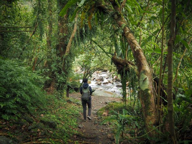
Leaving the carpark, we set off up the track, following the course of Songluo Creek through the valley past a campsite and a fish farm.

At one point, I happened to glance up into the trees beside the trail and spotted this absolutely adorable collared owlet. I’d not seen one before, and I couldn’t believe how tiny they are — just a smidge larger than a can of coke.

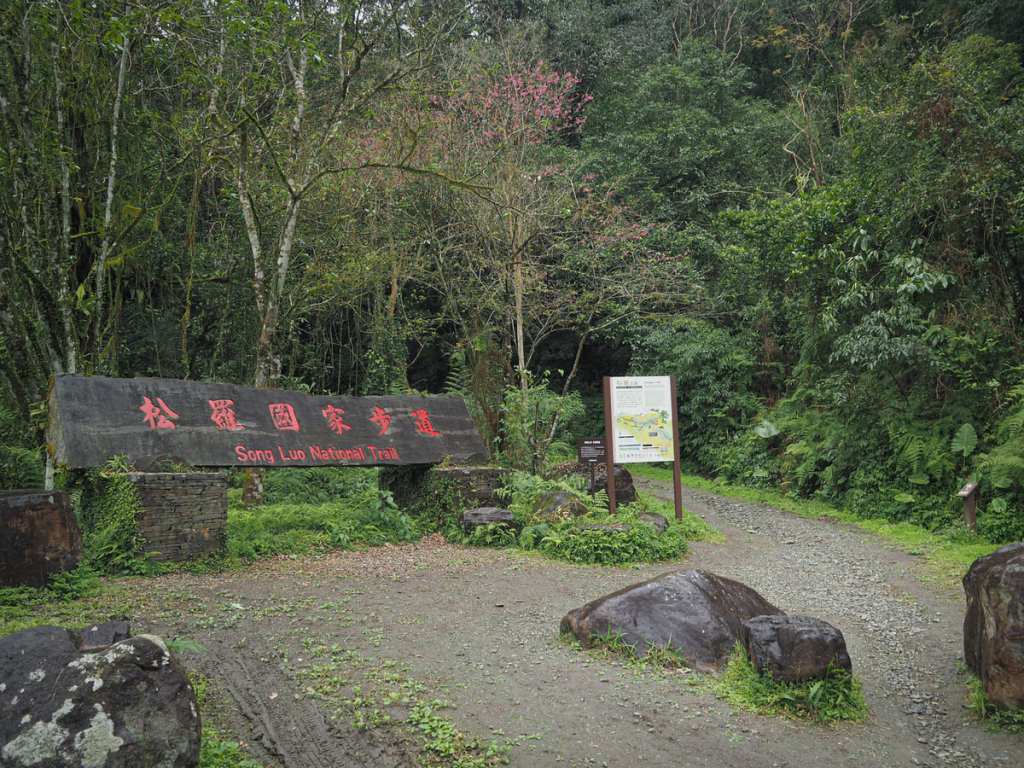
The track leads up to a water plant where a few braver driver have a second, smaller carpark, and then the true trailhead sits about 100 metres further up the track.

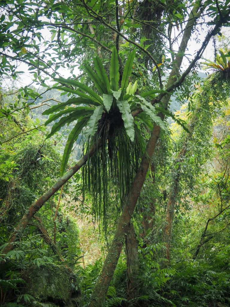
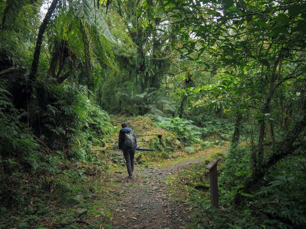
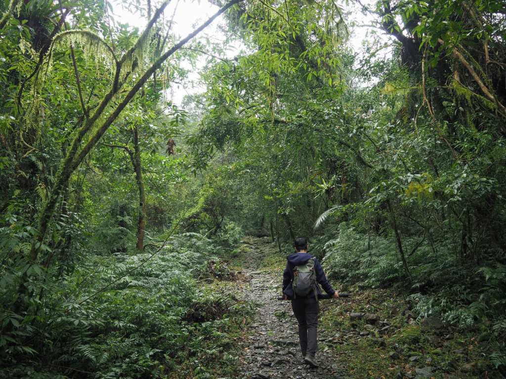
A wide gravel track slopes gently uphill from the trailhead. A small stream runs along a channel beside the path for a while, and right from the start, the ferns put on an impressive show.
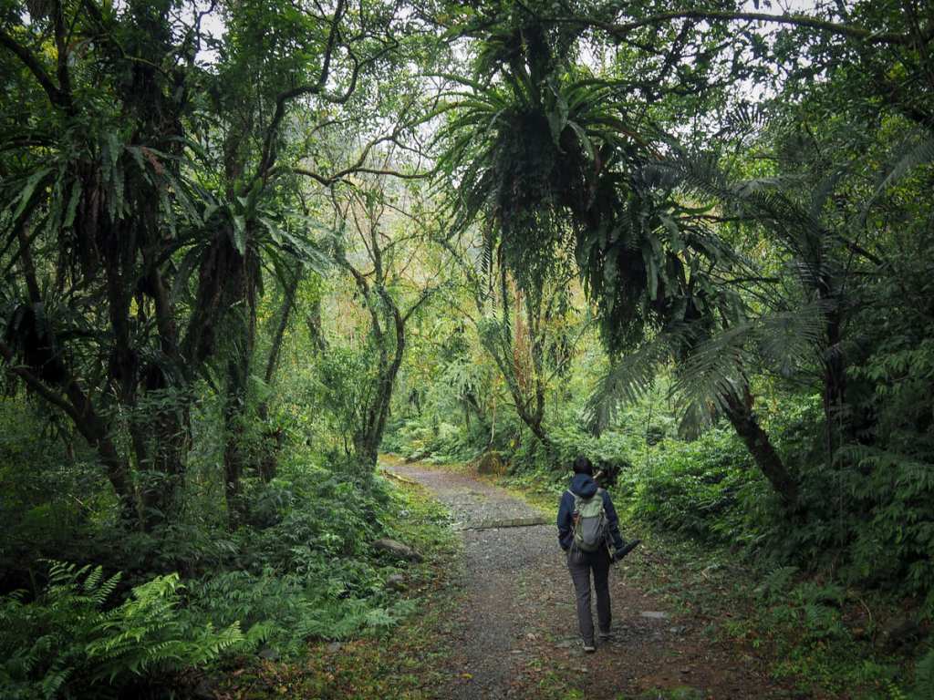
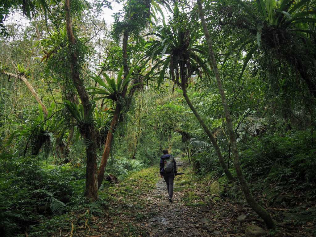
Shaggy birds nest ferns and trailing ribbon ferns are draped over every other branch, making the whole place feel decadently green.
Not far beyond the 600-metre mark, there is a huge boulder sitting beside the trail. There are no sides beside it, but on the trail maps, it’s noted as being called “飯糰石” or “Rice Roll Rock” (although this has erroneously been translated as “rice lump”).

The next point of interest is a gently arched truss bridge across the creek. In the past, there was a v-shaped rope bridge here, but signage nearby suggests that it was damaged by storm surges.

Just beyond the bridge is where the trail is at its closest to the water. Naturally, there are signs telling you not to swim (not that you could swim any), but I am sure there are a couple of spots with paddle potential.
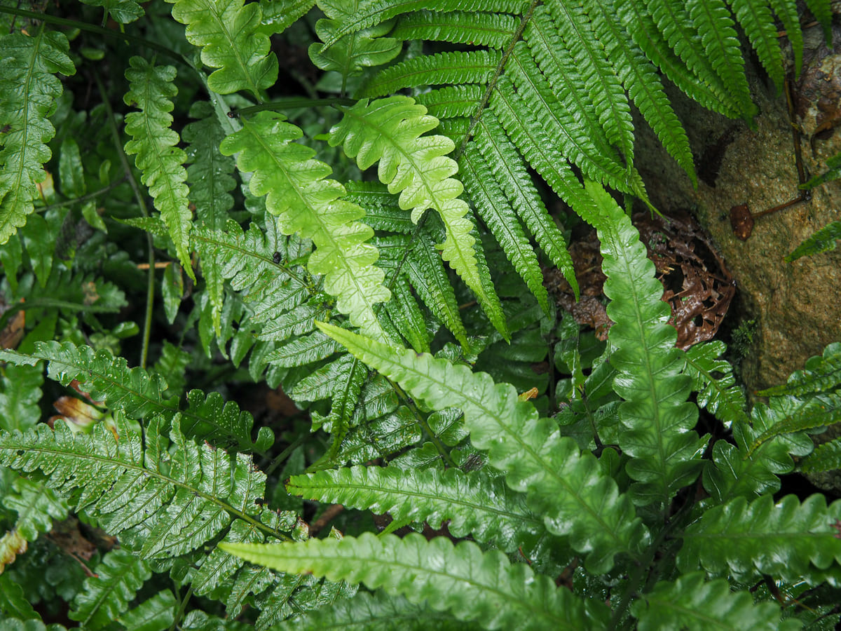

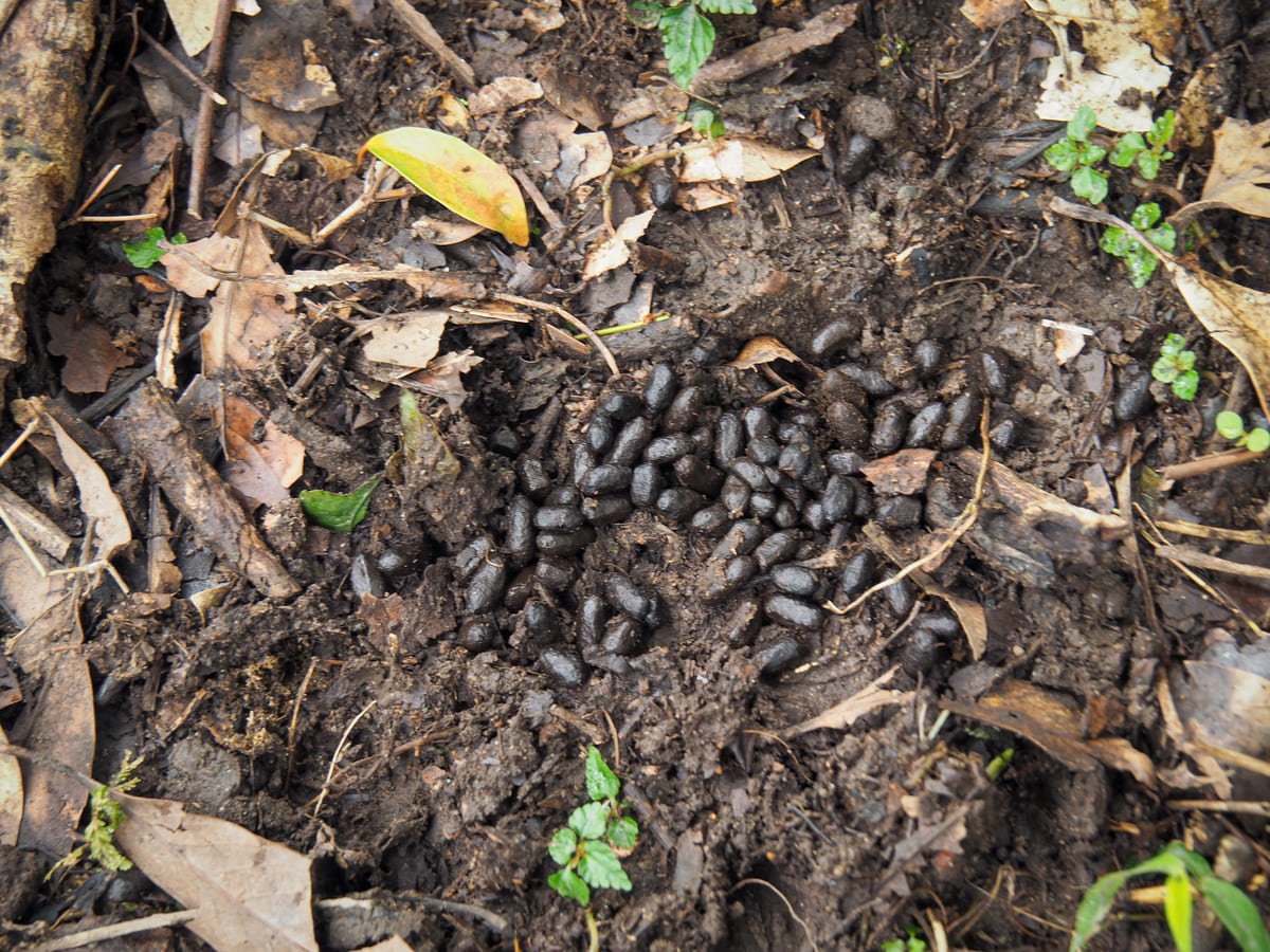
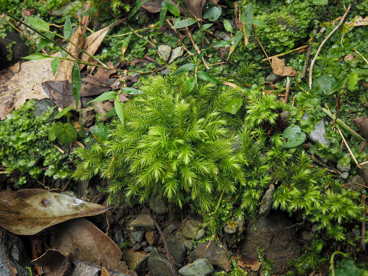
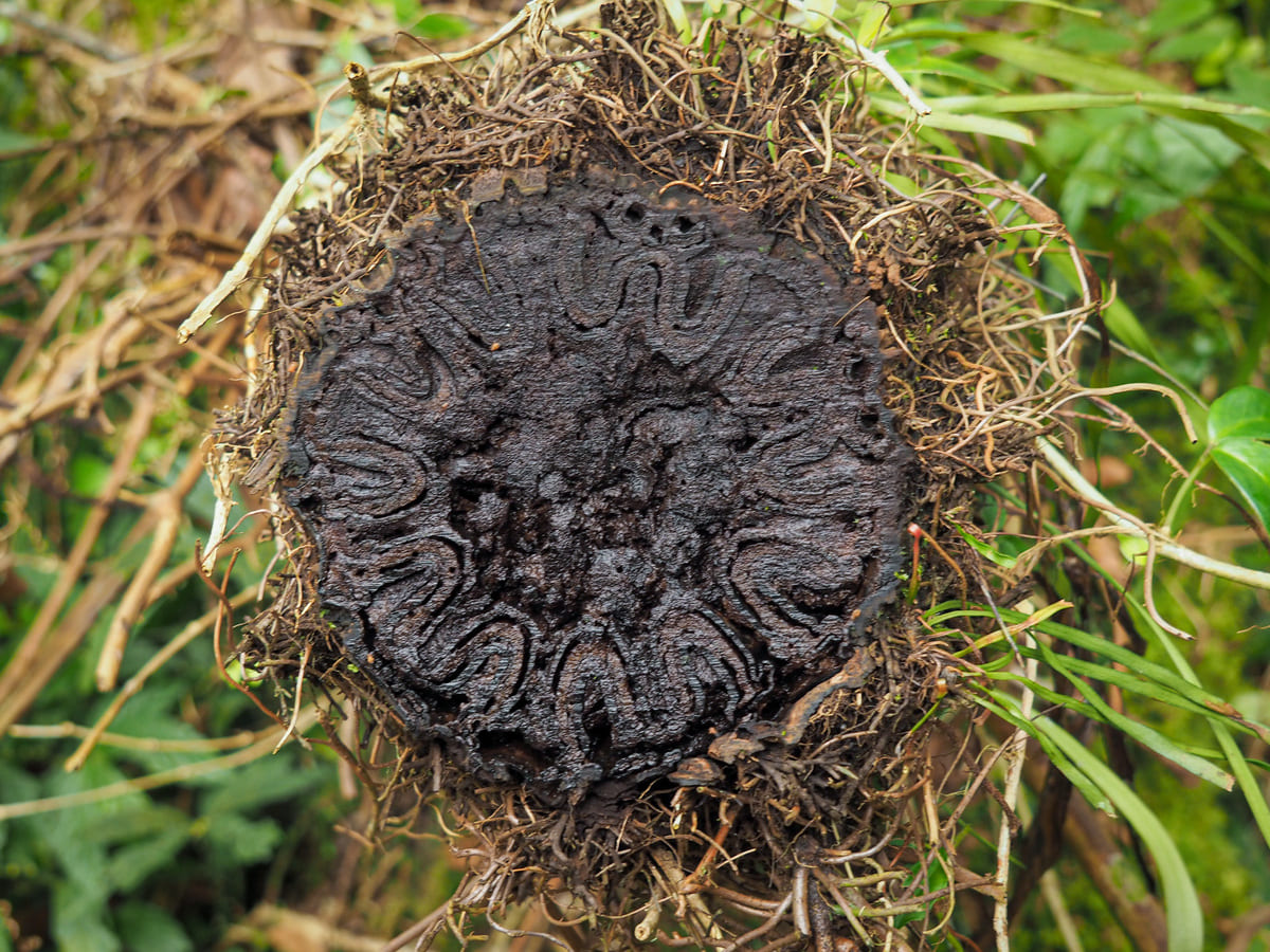
Some of the green (and brown) details spotted along the way.
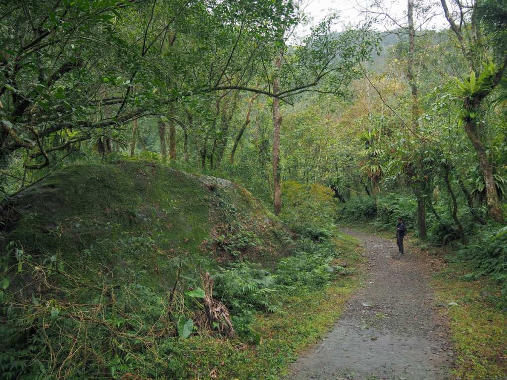
At the 1.2-kilometre mark, the trail splits in two. Both forks merge again after a couple of hundred metres, so it doesn’t make much difference which one you pick. (We went left and then came back down the other one.)
The path beyond the junction seemed to be significantly more slippery than the earlier portion, and we both had to adjust our gait to avoid slipping, but in compensation, the sun came out and lit up all of the hanging mosses.
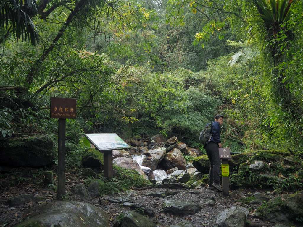
The trail ends after 1.9 kilometres at a spot overlooking the water.


If you feel so inclined (which, of course, you do), it’s possible to get down to the water level for a quick paddle, although in January, the water could best be described as being sharply refreshing.

Teresa observed my paddling from a patch of sun on a rock and after I’d iced my toes, we picked up and headed back down the same way we’d come.
How to get to Songluo Trail
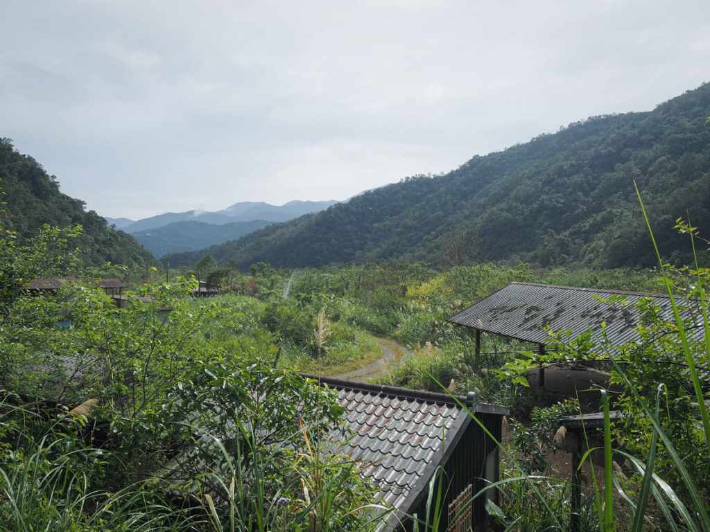
Google Maps address: The walk starts inland and upstream from the small Tayal village of Songluo (a popular pausing point on the way to Taipingshan). The trail’s official carpark is about a 30-minute walk from the trailhead. If you visit midweek and are confident driving your vehicle along rough single-lane tracks, you can probably drive up to park by the water plant, but don’t even think about it on weekends.
GPS location:
- Official carpark — N24 39.600 E121 34.355
- Unofficial carpark — N24 40.060 E121 33.860
- Actual trailhead – N24 40.130 E121 33.825
Public transport: The GR12 bus service runs from Yilan TRA station to Songluo bus stop roughly every two hours. You then need to walk a couple of kilometres up the road to get to the trailhead.
Nearby trails:
- Naoliaokeng Trail
- Jiuliao Creek
- Quantoumu Trail
- Xinliao Waterfall
Songluo National Trail Map

GPX file available here on Outdoor Active. (Account needed, but the free one works just fine.)
