This particular hill had been on my radar since I first visited Shuangxi in the process of walking the Tamsui-Kavalan Trails. I passed through the small town several times over the year or two that I spent on that project, but each time, I arrived either with legs sore from trails already walked or else had a long day’s walking either ahead of me. On my most recent visit, I had more time and was finally able to make it to Bat Hill Lookout.
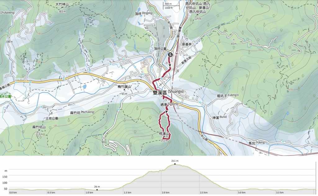
Distance: About 3 kilometres, 1 of which is the trail itself, the other two involve walking through the historic little town of Shuangxi.
Time: 1½-2 hours — Factor in a little longer if you plan to explore the old town.
Difficulty (regular Taiwan hiker): 2.5-3/10 – On a dry day, this is tiringly steep, but not difficult. On a damp day, I can see the steps becoming a slippery hell slope.
Difficulty (new Taiwan hiker): 4-5/10 – Mostly for the crappy trail surface. If you’re unfamiliar with this era of poor trail-building material choices, you might be lulled into a false sense of security. Don’t be. Steps like this are untrustworthy. They are unbelievably slippery. That aside, it’s a pretty steep climb and an equally steep descent.
Total ascent: Around 260 metres.
Water: A single small bottle is enough.
Shade: The trail itself is shady or in dappled shade. The walk to the start from the train station is exposed.
Mobile network: Clear throughout.
Enjoyment: The views from the top make this trail worth the effort.
Other: Did I mention it’s slippery? Gloves for grabbing onto the railings might be a good idea. (The railings are a little old and grimy.)
Route type: Loop
Permit: None needed
Jump to the bottom of this post for a trail map and GPX file.
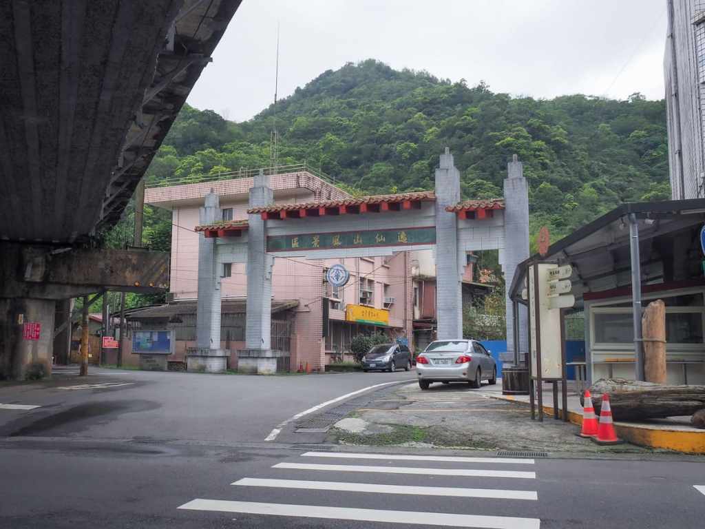
I imagine most people visiting this trail will start from the train station just like I did. But I’m starting this route guide from Mingtian Temple (明天宮). (The walk through the town to the trailhead takes around ten minutes. From the station, take a left onto Zhonghua Road, follow it as it bends and crosses two bridges, then turn left onto Zhongshan Road at the far end of the bridge in front of the school. Just before you pass under the railway bridge, you’ll see the archway for this temple on your right.)
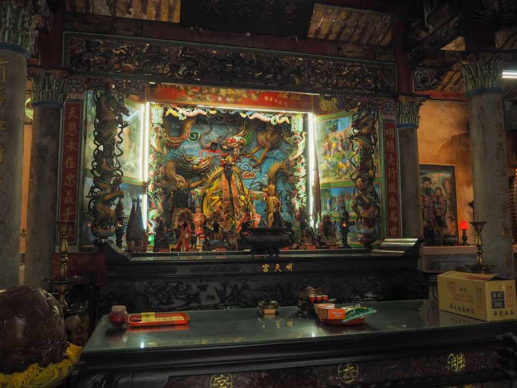
Since I was passing, (not to mention the fact that I’d used the temple toilet), it seemed rude not to pop in.

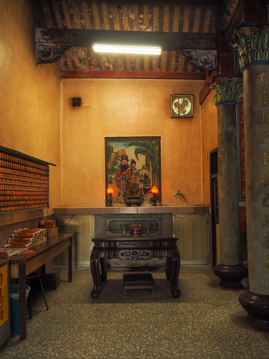
I liked the paintings behind each of the two side altars.
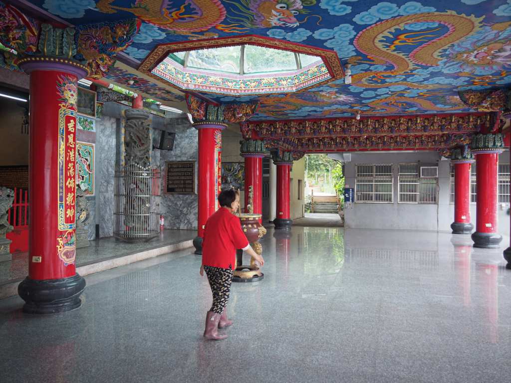
This woman was obviously related to the temple in some way. She pointed out the start of the trail to me then watched to make sure I found the right one.
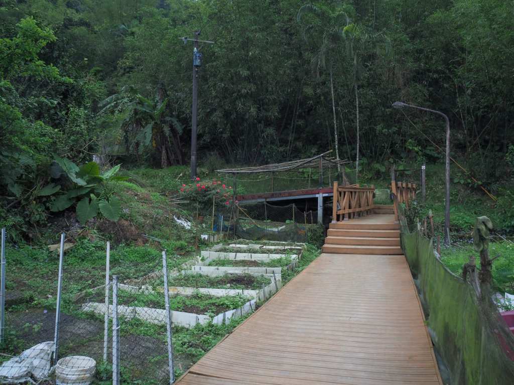
The most obvious route would be to cross over the little bridge, but my aunty assistant advised me to turn left just before the bridge.
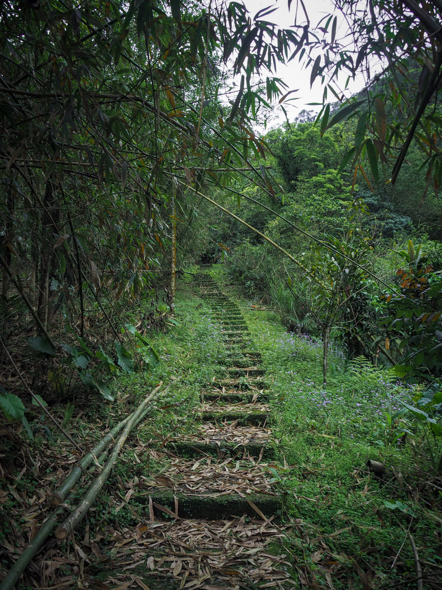
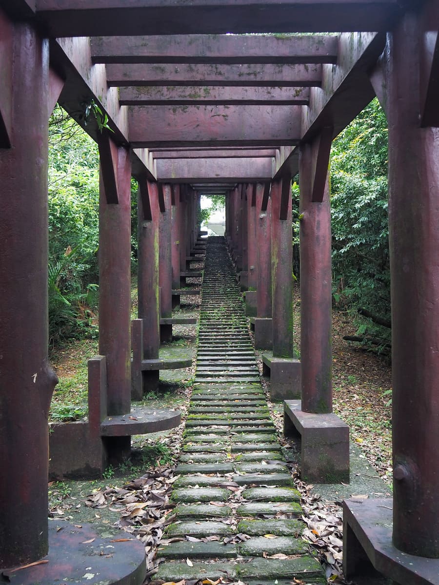
The trail wastes no time letting you know what to expect. Right from the get go, it’s steps, steps, steps.
Early on, I had two minor scares. The first was when a hissing, screeching noise suddenly exploded beside me…
…it was a water pipe. (It’s always a water pipe.)
And the second was a silent flash of movement in the trees to my right. I paused to take stock, and a Swinhoe’s pheasant revealed itself. I never knew they could move so fast. This one moved so quick that I wouldn’t be surprised to hear that the species has evolved to have teleportation abilities
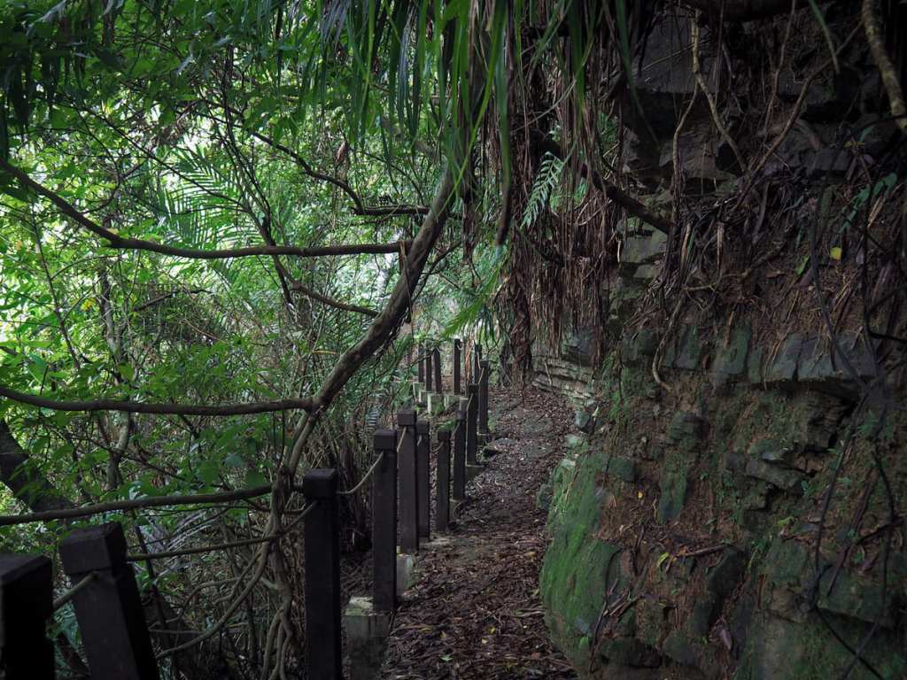
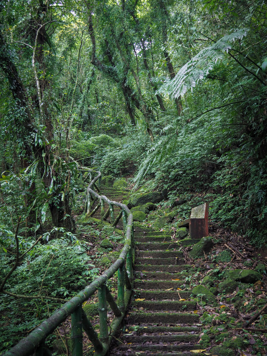
Right before the final ascent, the trail ducks around the more shady side of the hill and it feels a little sketchy. There are sections of eroded path and other sections scattered with loose rocks.

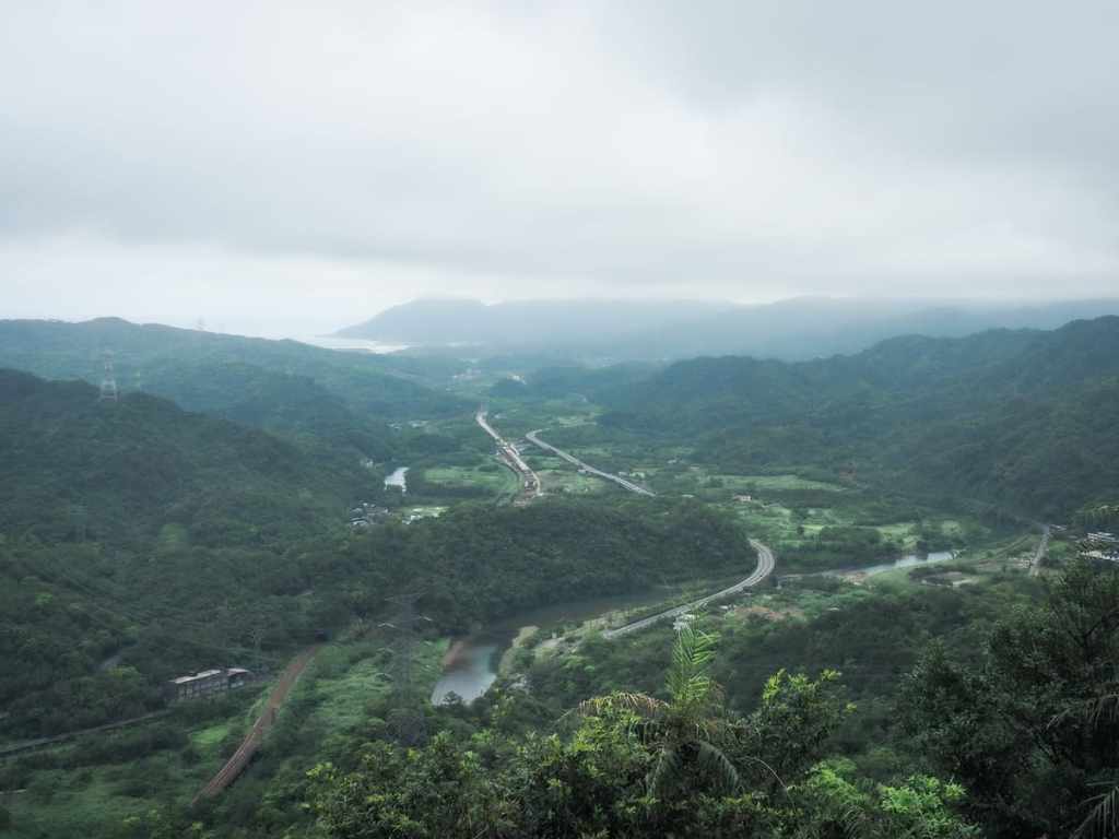
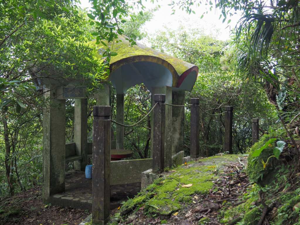
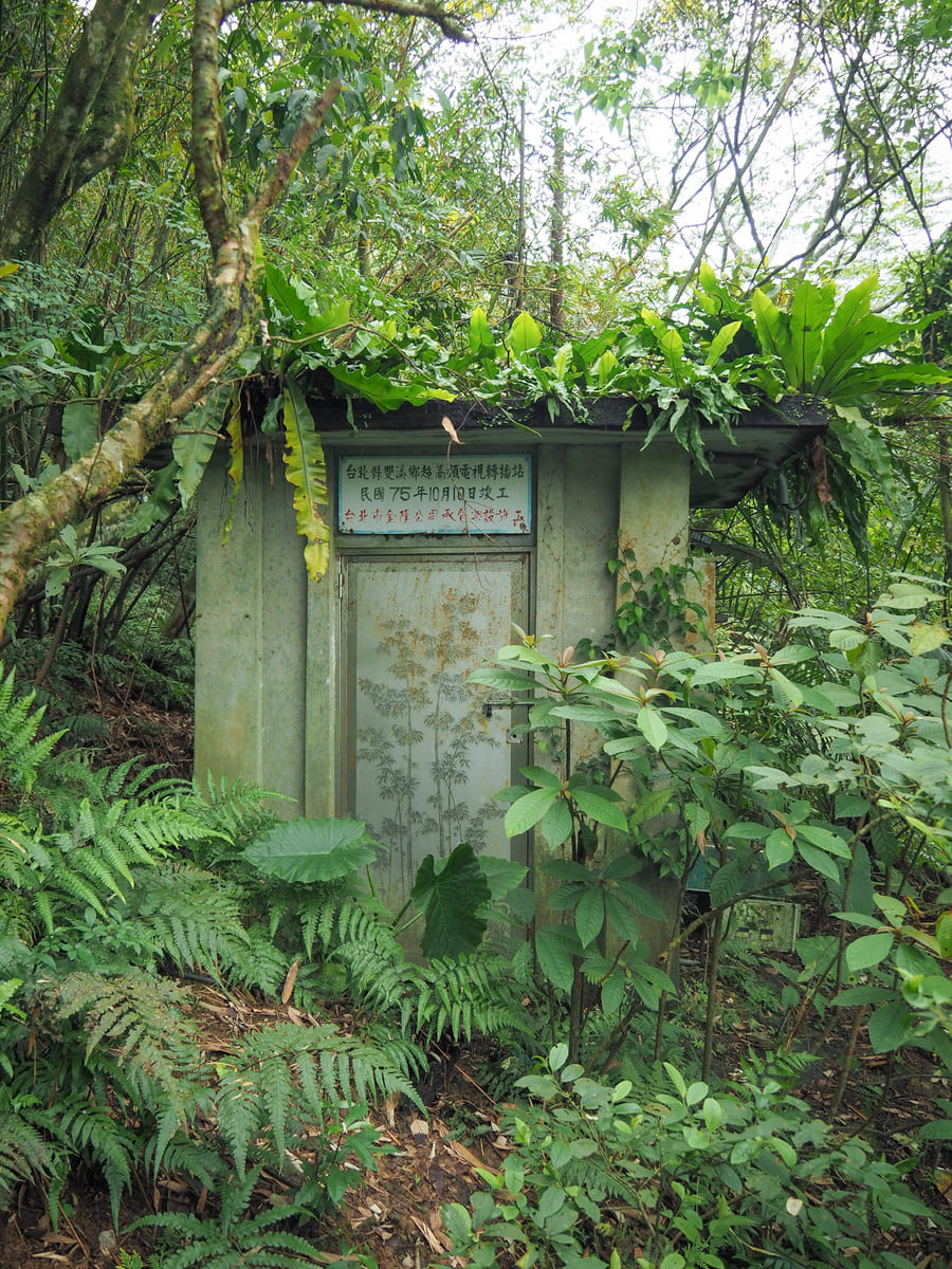
The summit of the hill has a pretty substantial walkway full of benches, as well as a two-storey lookout tower topper with a satellite dish and a statue of Sun Yat-sen. There used to be a toilet block up here too, but I guess the route wasn’t popular enough to warrant keeping it maintained because it’s all roped off and crumbling now.
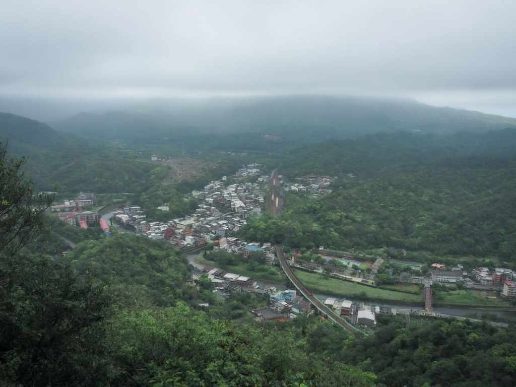
The views from the top are quite something. Towards Shuangxi, you have a perfect line of sight along the tracks and into Shuangxi Station. I can’t think of anywhere else around Taipei that gives you views of the railway like this. While I was up there, I watched trains pass through in both directions.
Looking over to the coast, it’s possible to make out a narrow sliver of Fulong Beach.

The walk down was as steep as the walk up, and also equally slippery.
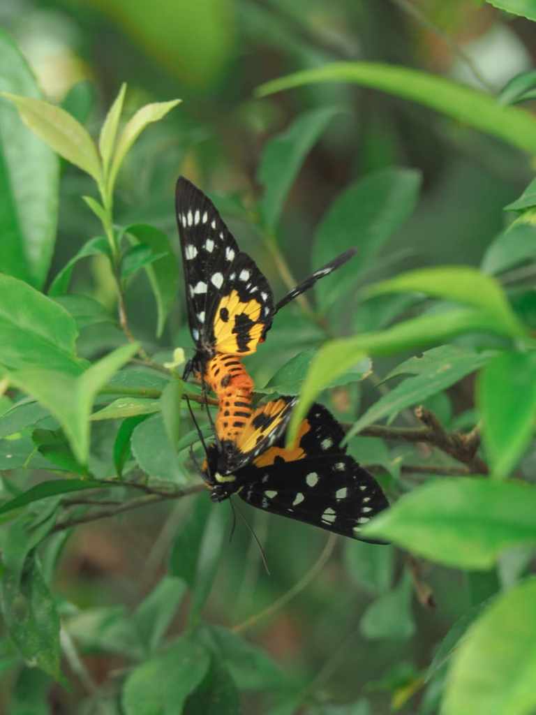
This pair of amorous moths crash-landed on the tree just in front of me.
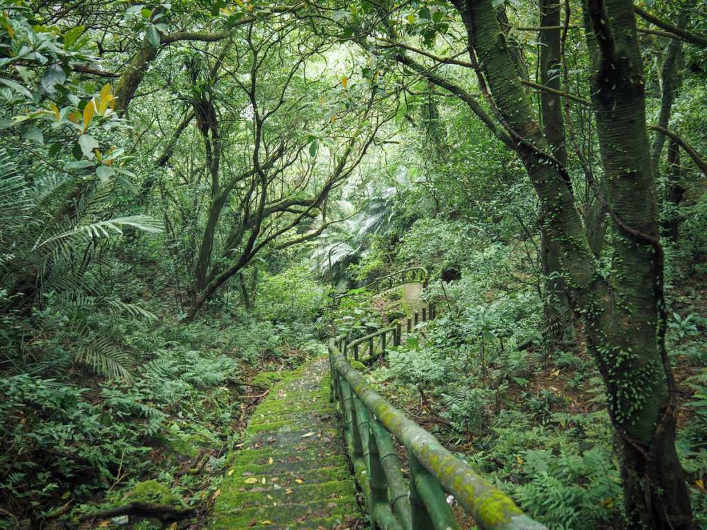
It’s not the most scenic trail I’ve walked in Taiwan, but it had moments of prettiness.
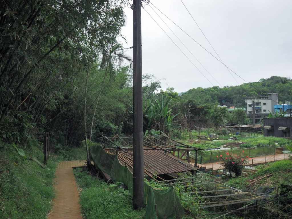
The path loops back to the little allotment behind Mingtian Temple. I met the farmer shouldering a pair of mulch-laden buckets. He greeted me with the question “hiking?” I confirmed, and he chuckled. How wonderful life must be if you are so easily entertained! I popped my head into the temple to let the aunty know that I’d got down safely, but she was fast asleep with her feet up, so I headed quietly for the train station.
How to get to Shuangxi’s Bat Hill
Google Maps address: The trail starts from behind Mingtian Temple. There’s some space here for parking if you have your own wheels.
GPS location: N25 01.890 E121 51.950
Public transport: Take any local or fast local train leaving Taipei bound for Su’ao or Hualien. They should all stop at Shuangxi Station. Alight at Shuangxi. From the station, turn left onto Zhonghua Road, follow that as it curves around to the right and crosses the river and becomes Taiping Road. Follow Taiping road straight and across the second river. Keep heading straight until you reach Shuangxi High School then take a left turn onto Zhongshan Road and follow that parallel to the river until you meet the archway for Mingtian Temple.
Further reading: There doesn’t seem to be any English information online about this trail, but there’s plenty for people who read Chinese, like this one from Travel Yam.
Nearby trails:
- Sandiaoling Eco-Tunnel
- Tamsui-Kavalan Trails – Ruifang to Shuangxi
- Tamsui-Kavalan Trails – Shuangxi to Dali
Bat Hill Trail Map
GPX file available here on Outdoor Active. (Account needed, but the free one works just fine.)
