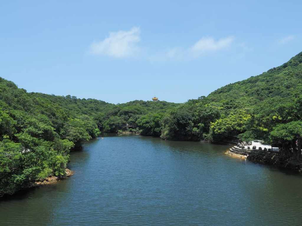
Lovers’ Lake is a natural lake in the hills to the north of Keelung. It is encircled by two trails—a shorter and easier one that sticks close to the lakeshore called the Round Lake Trail, and a longer one that takes in more ocean views called the Round Mountain Trail. This post covers the second of those two options. The walk has been included in a list of the 100 best trails in Taiwan, as voted for by the users of the Hiking Notes (健行筆記) app, and users of the app can collect digital gemstones as they go.
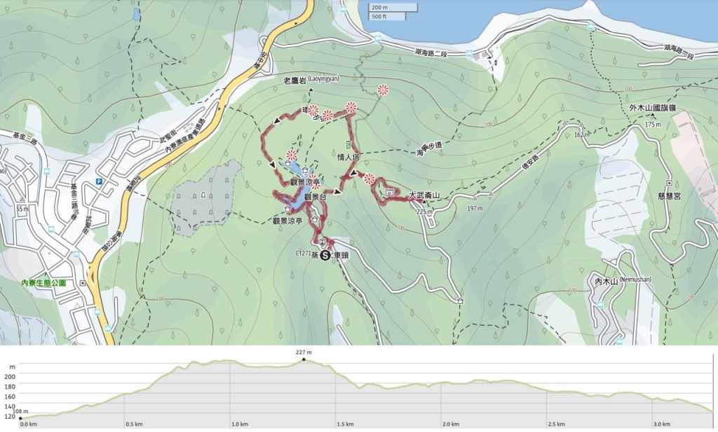
DISTANCE: About 3.3 kilometres.
TIME: 1½ – 2 hours, and if you skip the climb to Mount Dawulun, you can probably complete a short loop in an hour.
TOTAL ASCENT: About 120 metres to a high point of 225 metres on top of Mount Dawulun.
DIFFICULTY (REGULAR TAIWAN HIKERS): 2/10 – This should be easy for anyone used to hiking in Taiwan. The route is well-maintained and the greatest challenge is a few steps. That said, I walked it in August and the heat really kicked my butt.
DIFFICULTY (NEW HIKERS): 3/10 – Even people who aren’t familiar with Taiwan’s trails should find this pretty easy. The only slightly wilder feeling section is the optional detour to visit Mount Dawulun, but aside from. that, the path is well-maintained and signposted in English.
SIGNAGE: The round-mountain trail is well signposted, but if you’re planning of following the route outlined by the Hiking Notes app (as I have done here), you’ll need to know where you’re going so that you can detour up to Mount Dawulun and Dawulun Fort.
FOOD AND WATER: I took about a litre and it was not enough on a hot August day. In winter, that would have been too much.
SHADE: The shade is patchy on this trail, so go prepared if you’re sun-shy.
MOBILE NETWORK: There’s good reception the whole way around.so been voted one of Taiwan’s best hiking trails,
ENJOYMENT: This trail has ocean views, a historic fort, a small lake, and a Xiao Bai Yue. It’s also it has also been voted one of the 100 best hikes in Taiwan, so definitely a worthwhile way to spend half a day.
SOLO HIKE-ABILITY: This is a very safe walk to do solo. Besides, it’s so popular with locals that you’ll probably not be on your own for long.
TAIWAN 100 MINOR PEAKS: Number 3, Mount Dawulun
ROUTE TYPE: Loop with a short spur.
PERMIT: None needed.
Jump to the bottom of this post for a trail map, GPX file and transport information.
DIRECTIONS:
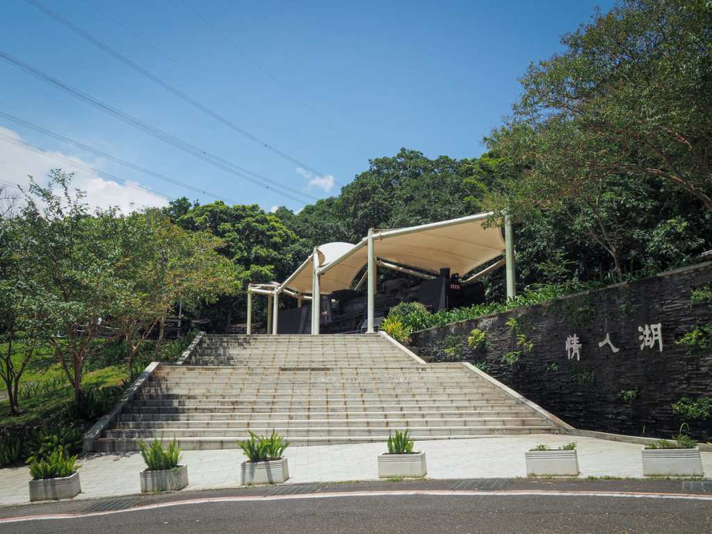
The bus dropped me and a handful of other off by the trailhead carpark. The entrance to the trail is marked by an interesting kind of water feature wall. It’s impossible to see from the photo, but the water kind of cascades down the wall to land in a small pool.
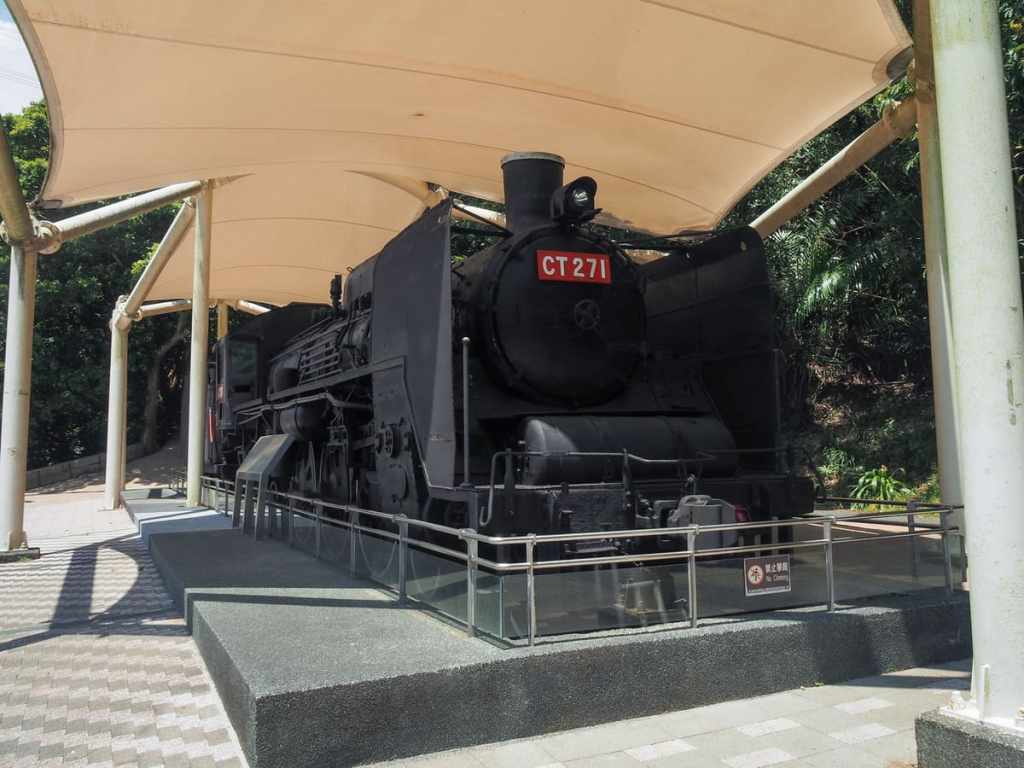
And at the top of the steps, there’s an incongruously placed stream engine. The engine on display is CT271, the first of 14 CT270 steam locomotives that were pressed into use on Taiwan’s railways. In fact, this particular specimen (along with one other) was adapted from a Japanese C57 locomotive that had been in service before WWII. The rest were purchased later by the KMT government; the last fleet of steam engines to serve in Taiwan. By 1979, when the project to electrify Taiwan’s West Coast Line was completed, all of the CT270s had all but been taken out of service and they were formally decommissioned in 1983.
In addition to being an impressive reminder of past generations’ ingenuity, CT271 has a tragic footnote in its service record. On December 9, 1957, it was carrying passengers northbound and as it approached Yingge Station, the engineer felt the train pass over some stones on the track, prompting him to slam on the breaks. However, the breaks were too effective, immediately forcing the coal tender (a carriage used for transporting a fuel-hungry locomotive’s fuel) to slam into the back of the engine. The engineer and the fireman were killed straight away and several of the carriages overturned, killing 16 passengers and causing 116 injuries. Later, it was determined that some children had been playing and had stacked ballast on the tracks.
CT271 was repaired and returned to serve for another couple of decades and then sat in a garage in Chiayi for a few years before being secured as a cultural asset by Keelung’s municipal authorities. For a while, authorities just put the engine here and neglected it, allowing it to rust and decay to such a degree that it caused outrage among local history and rail enthusiasts, but thankfully, it has since been restored to a grander state.
As to why it ended up here, in a hillside far away from any train tracks, well it was never intended to be put here. A spot in the open plaza in front of Keelung Railway Station had initially been earmarked as its new home, but it transpired that there wasn’t enough room for it in the overcrowded downtown hub, and so it got transported up to Lovers’ Lake instead.
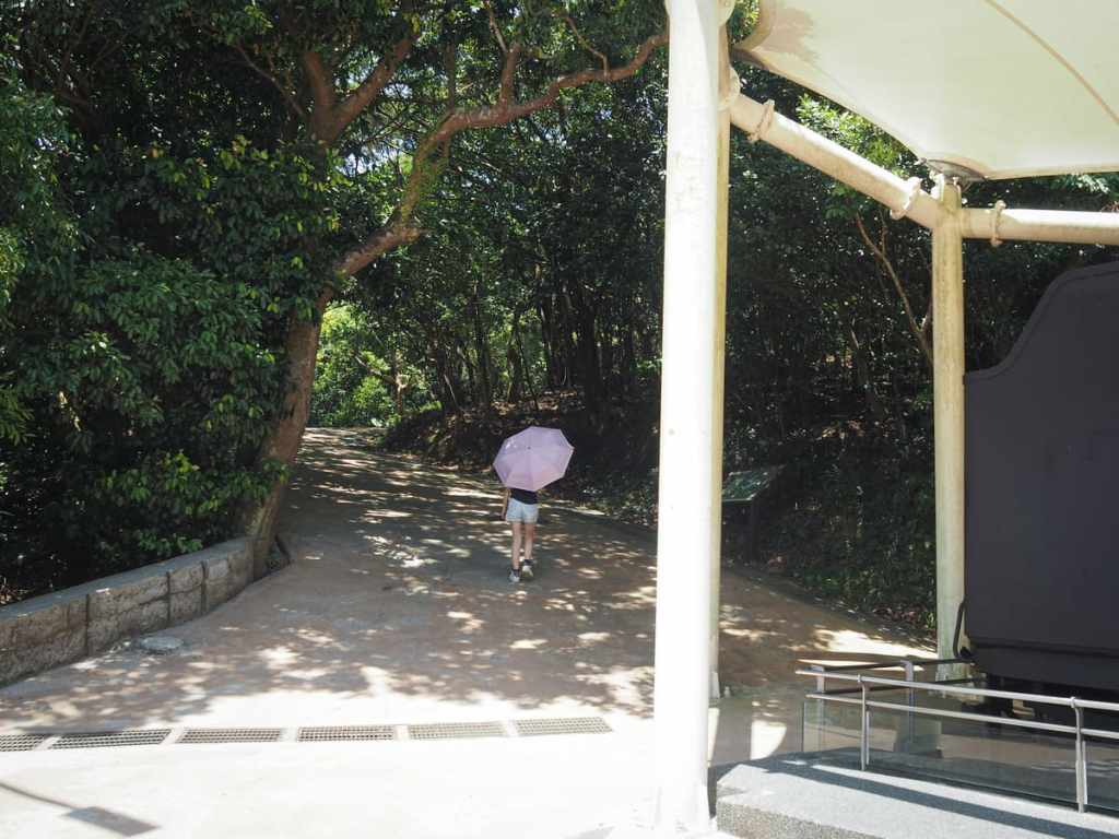
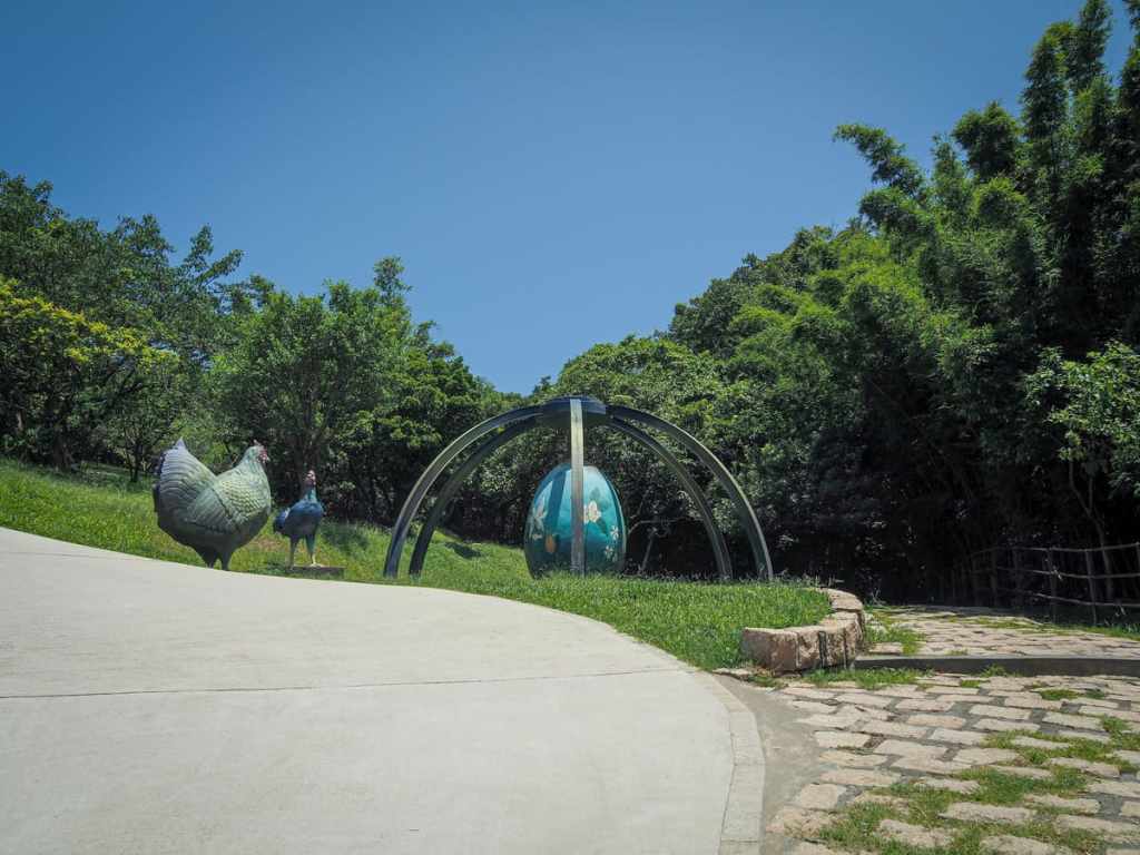
Steps beside the head of the engine or a sloping pedestrianised road by its tail lead up to a shaded picnic area, and if you keep walking up the track from there, you’ll come to an odd sculpture featuring two hens and a giant blue egg. Take the right-hand path beside the egg and leading off the road.
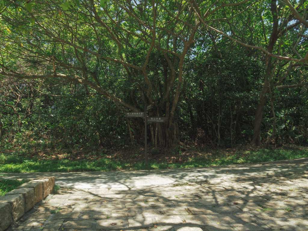
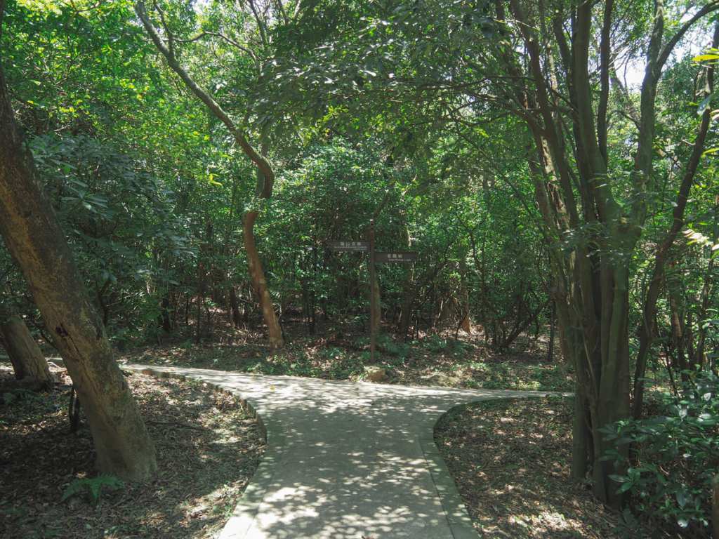
Very quickly, I found myself on the round mountain trail. You can go either way, but I decided to head right for a counter-clockwise loop.
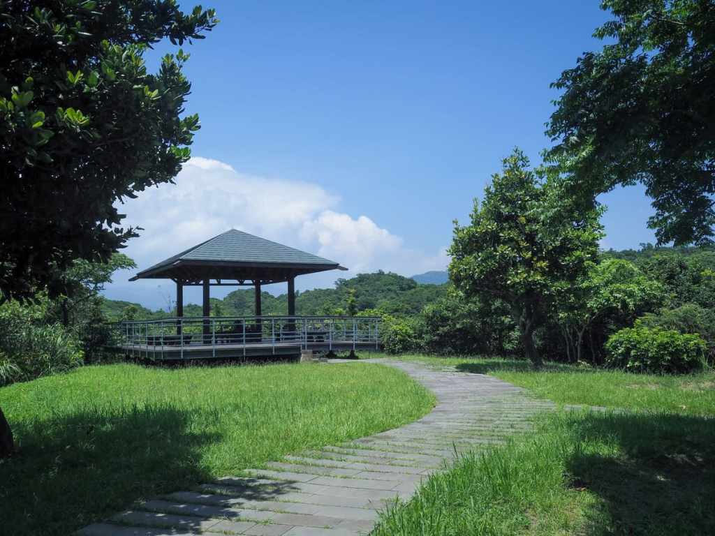
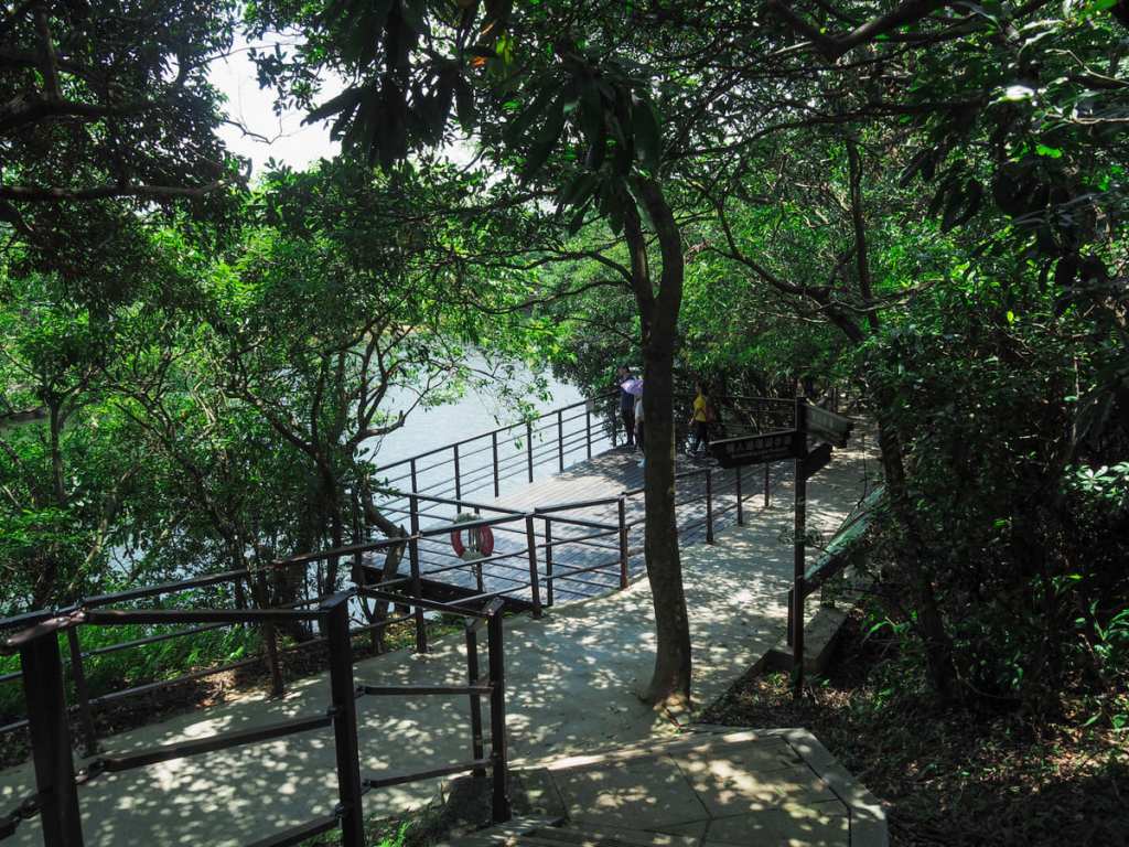
The trail climbs gently to a small clearing with a pavilion kind of overlooking the lake. (I say kind of because there are a fair few trees obscuring the view.)
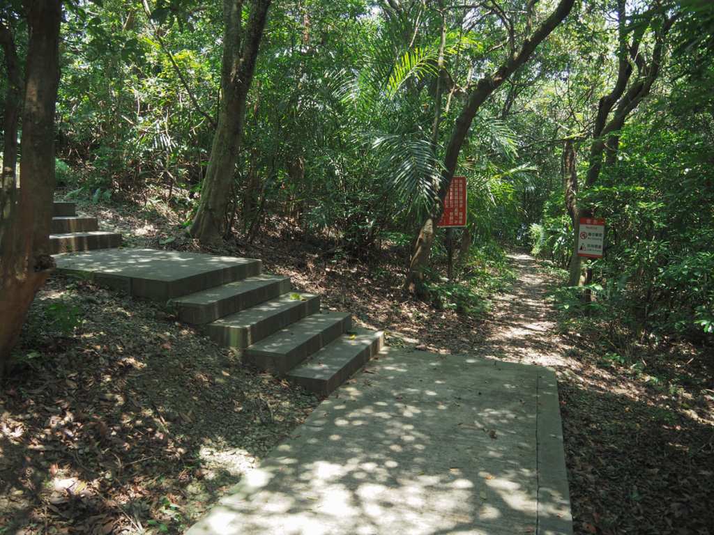
Just across from the pavilion, a flight of steps on the right leads up to Dawulun Fort. This part can be skipped if you don’t fancy the climb, but the fort is worth a visit if you’ve never been before.
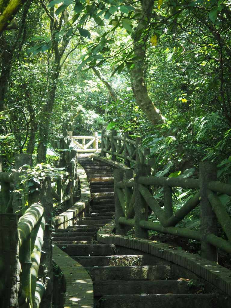
A meandering flight of steps leads steeply and swiftly uphill. Cicadas and Taiwan barbets provided the soundtrack, and many tiny skinks skittered away from me as I passed..
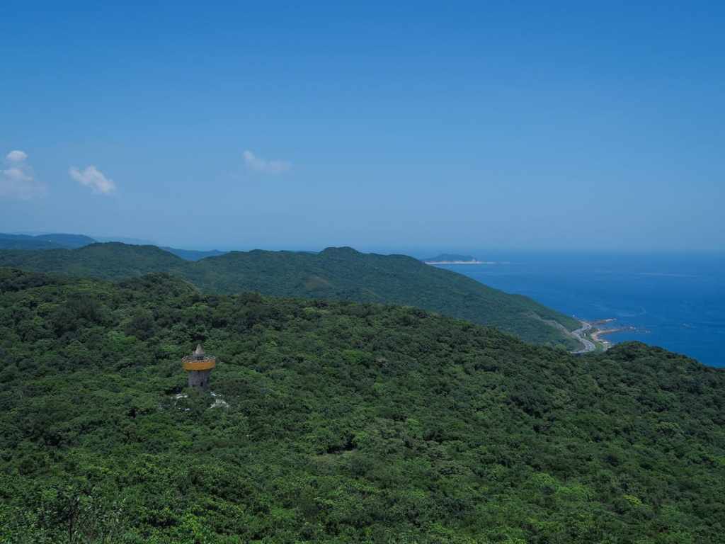
Close to the top, there’s a small flat area where you can catch your first glimpse of Lovers’ Tower and see along the coast to Yehliu.
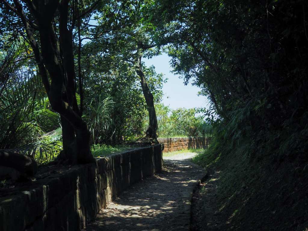
At the top of the steps, you can head either left or right. Either way, you’ll be skirting around the edge of Dawulun Fort.
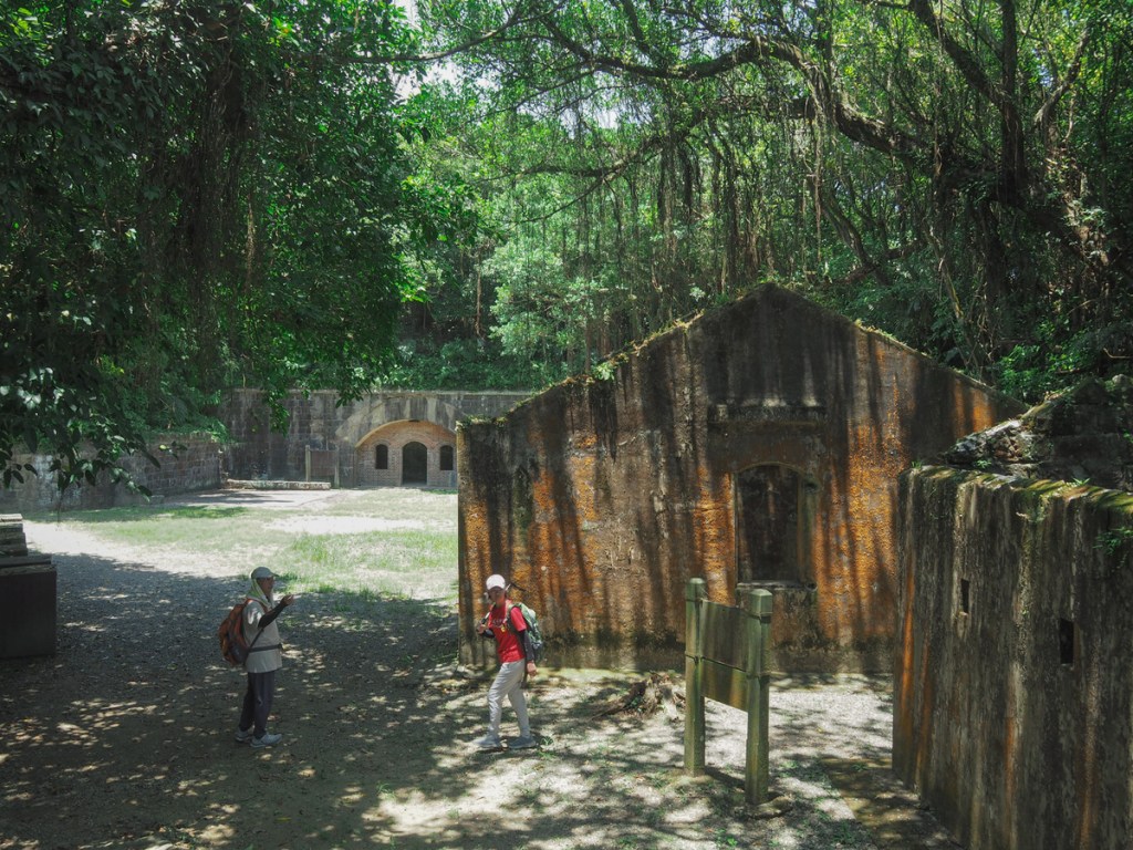
The location was first built as a defensive structure way back in 1820, and saw use in 1840 (during the First Opium War), then again in 1884 (during the Sino-French War). Parts of the facility was reconstructed during the period of Japanese occupation, and it’s mostly these later renovations (as well as some made by ROC forces) that can be seen now.
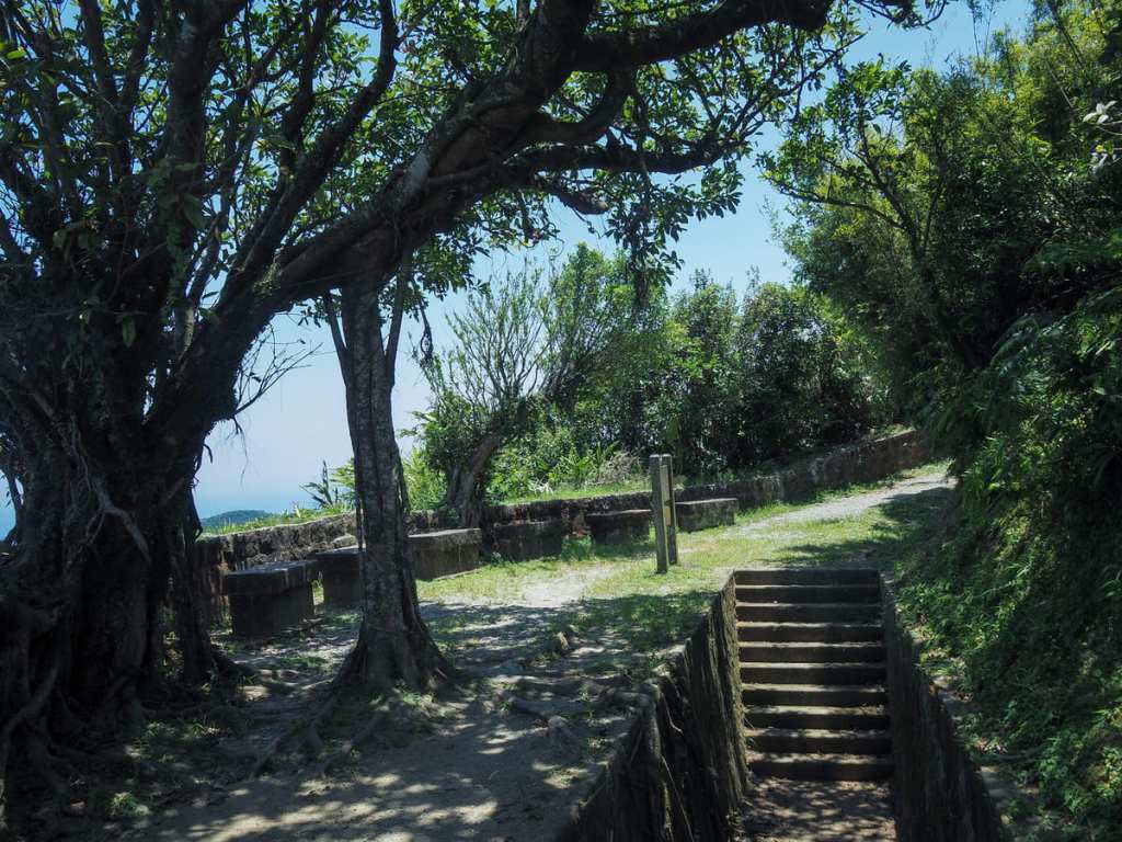
The most spectacular area is the big open space bordered on two sides by old barracks. The newer ones have arched openings in concrete walls that have been bricked up save for some windows and doors. The other, rectangular structure is the remains of the original barracks building (damaged by bombs at some point), and beyond that, you can find the remains of the privies.
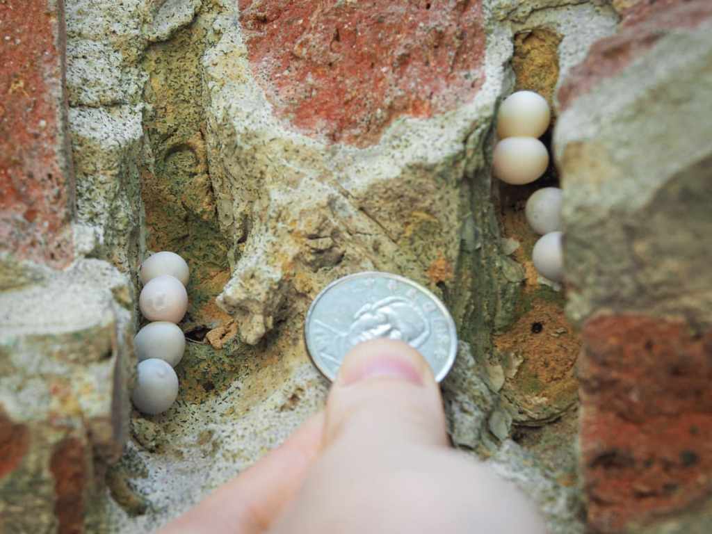
I had a little shufty at some of the old structures and came across this clutch of gecko eggs laid in a notch in one of the arched doorways.
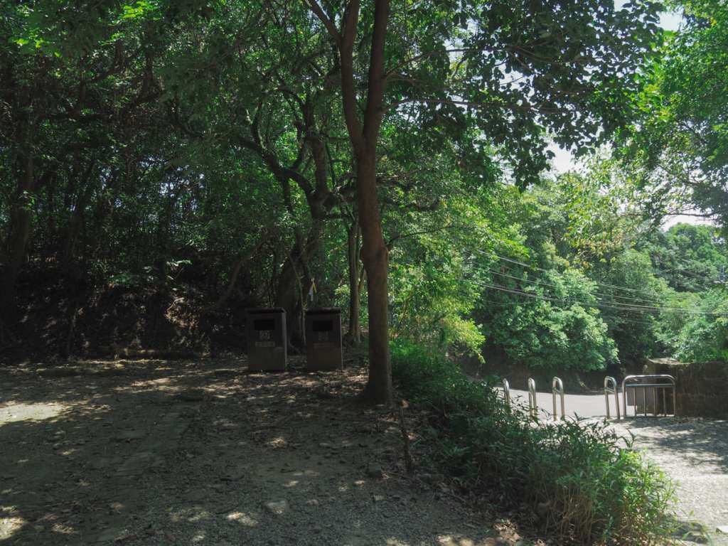
If you fancy bagging a Xiao Bai Yue while you’re at it, then you can take the trail leading down to the road, but just before you get to it, look for the hiking tags behind some rubbish bins on the left.
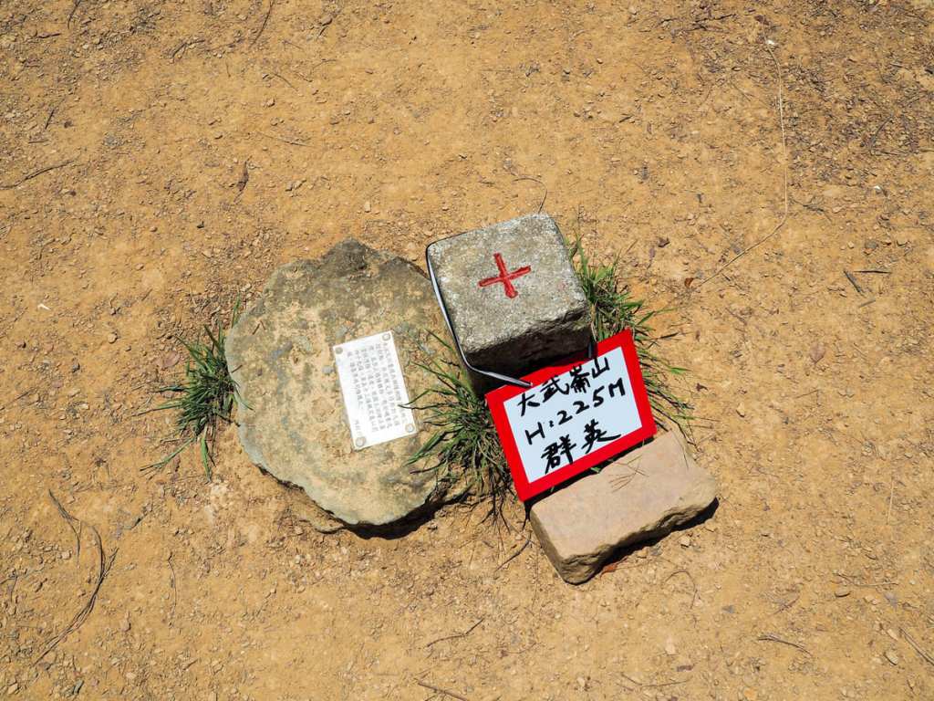
A small path leads through the greenery for about twenty metres until arriving at the summit of Mount Dawulun.
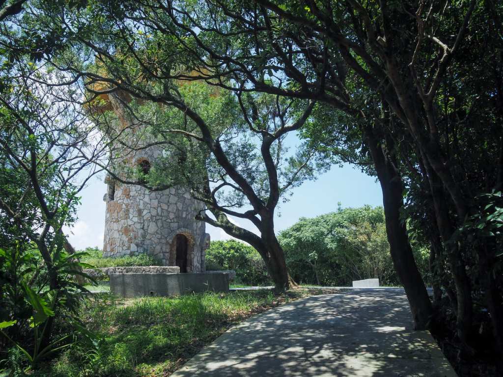
After retracing my steps back past Dawulun Fort and back down the steps, I rejoined the round mountain trail and found myself passing the Lovers’ Tower. There are steps inside that will take you up to the top, where you can enjoy 360° views and love notes scrawled in permanent marker.
At the next junction, take a right, and then very shortly afterwards, take then next left.
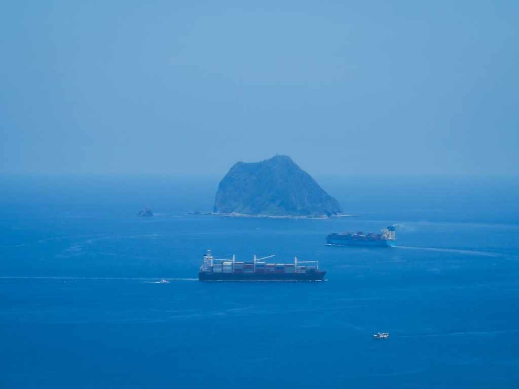
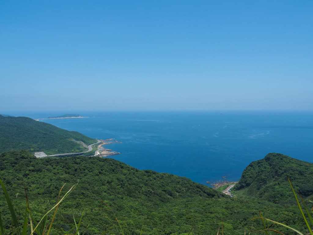
The steps bring you up to Eagle Rock (老鷹岩). This spot has the walk’s best view of the coast. I watched a couple of container ships passing in front of Keeung Islet, and a few of the smaller tourist boats chugging between Badouozi Harbour and the islet.
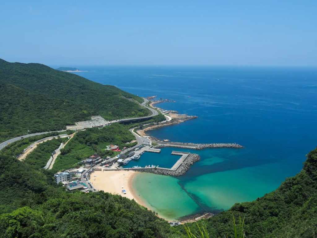
Closer to hand, you can see the sandy sweep of Dawulun Beach. Despite the weather being almost perfect for swimming, there were only about three people in the water, one of whom was riding around on some kind of motorized bodyboard.
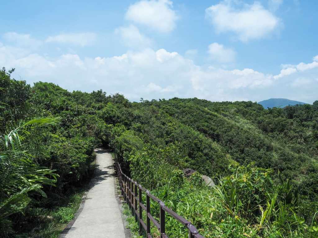
Heading down from Eagle Rock, the path cuts its way through the greenery before running down to join the round lake trail. If you still have energy, you can head left to explore the shorter (and easier) round lake train, but if you’ve had enough, you can take a right and head around the bottom end of the lake before turning right to follow the track back down to the steam engine.
HOW TO GET TO LOVERS’ LAKE
Google Maps address: The trail starts at the Lovers’ Lake carpark. Parking is free and there are plenty of spaces here.
GPS location: N25 09.400 E121 42.350
Public transport: You’ll first need to get yourself to Keelung. This can be done either by taking the train or a bus (there are many buses to Keelung that leave from various places around Taipei). You’ll then need to walk either from the train station or from Keelung Transit Station to Chenghuang Temple Bus stop. From there, you can catch the 509 bus and ride it all the way to the Lovers’ Lake stop.
LOVERS’ LAKE TRAIL MAP
GPX file available here on Outdoor Active. (Account needed, but the free one works just fine.)
