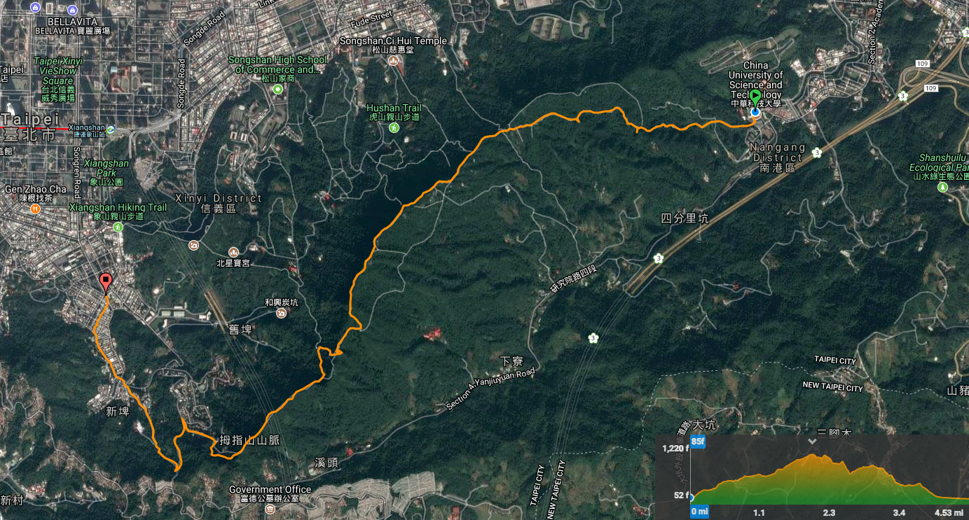
Distance: 7.2km – This could have been made shorter at several points
Time: 3 hours
Difficulty: 3-4/10 – Iif you skip the final third, (where I turned right towards Muzha), and instead just head downhill, then this walk is all paved, all well signposted and the most difficult aspect is the steepness of some of the steps. However, the final section as I did it is a little less signposted and the path is natural most of the way.
Total ascent: 541m – Which, given that the highest altitude reached was 345m, indicates that this is a good workout with lots of ups and downs.
Water: I took one litre for a winter walk – I didn’t end up drinking all of it, but I almost certainly would have done in summer.
Shade: Patchy—in the winter I didn’t need to worry about the sun, but I’ve done parts of this walk in the summer and I definitely required sun protection.
Mobile network: Mostly ok, but with a few dead areas, however, this is a popular and busy trail network, so you’re unlikely to get lost or be alone for too long.
Enjoyment: 7/10 – Actually this is a real mixed one for me, all the concrete and paved trails aren’t so exciting, however, there are a number of things which make this walk more enjoyable – firstly, the easy public transport at either end, (and all around), mean that you can really just set off and see where you end up at the end of the walk. Secondly, the views over the city really are amazing, especially if you take the brief detour up to Muzhi mountain and the less used trail section between Muzhi mountain and where I finished on this occasion. Then, there are all the temples, which are probably the best part of hiking so close to civilisation. Each one has its own little differences and imagining all the people who have climbed up daily over the years to maintain them is kind of nice. Finally, it’s fun to be able to do a walk where you can get a decent distance covered over a short time – so many of the walks I do in Taiwan are very short in length but long in time due to the nature of the trail and the climb – this type of trail is good for stretching your legs a little.
Jump to the bottom of this post for a trail map, GPX file, and transportation information.
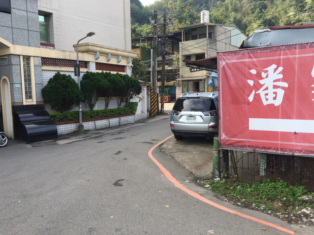
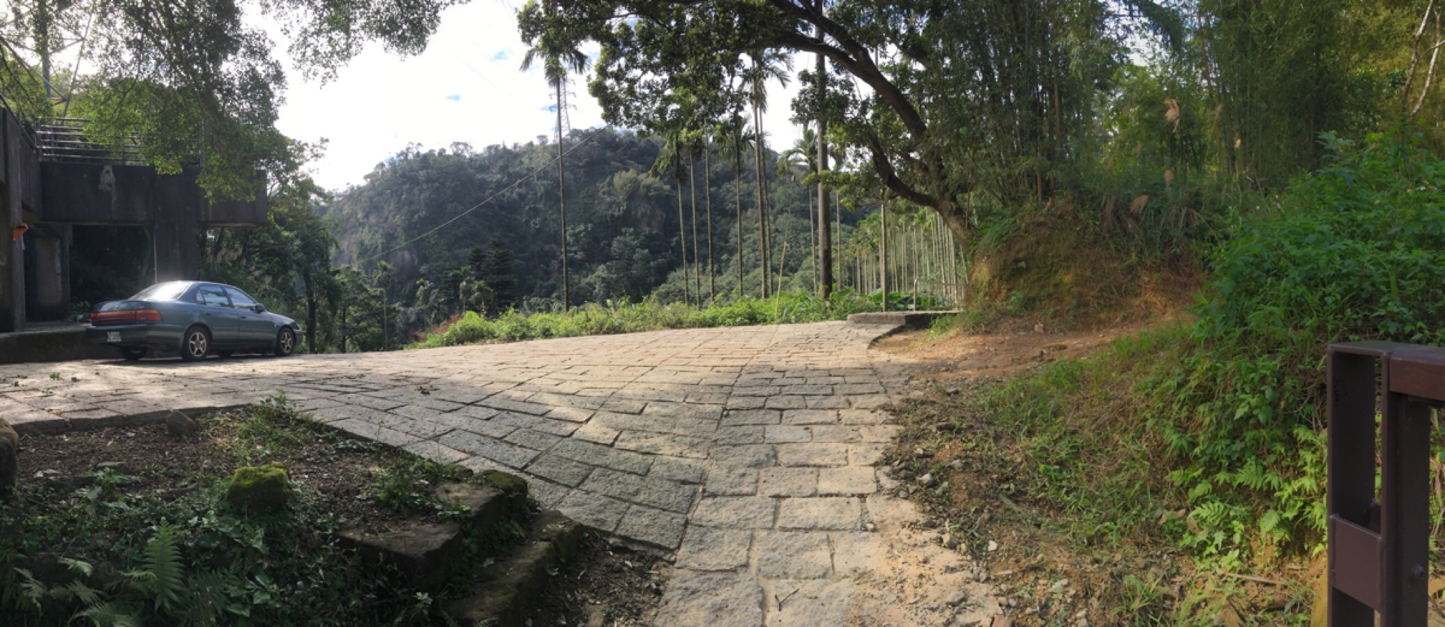
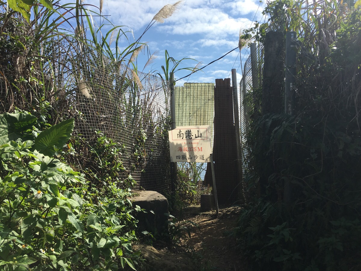
I’d done bits of this walk previously, but this was my first time to start from the Nangang end of the ridge. Getting off the bus at China University of Science and Technology, you need to make a right turn into Section 3 Yanjiuyuan Road.
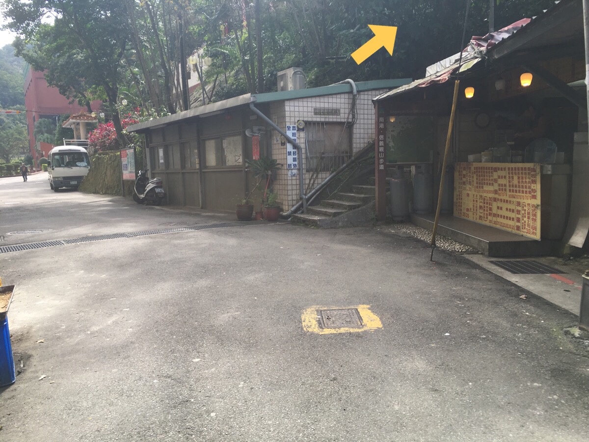
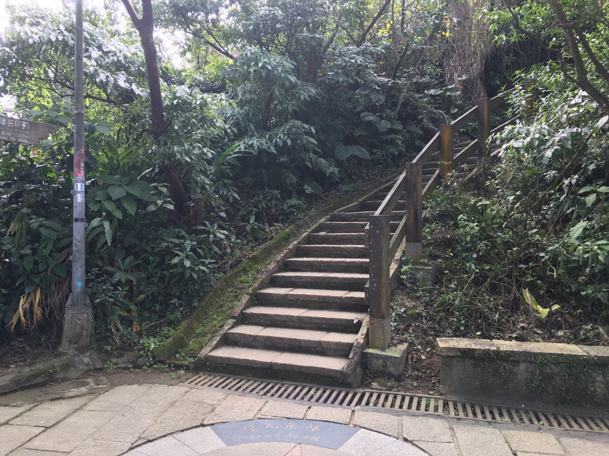
A map and signpost next to a breakfast shop mark the start of the trail.
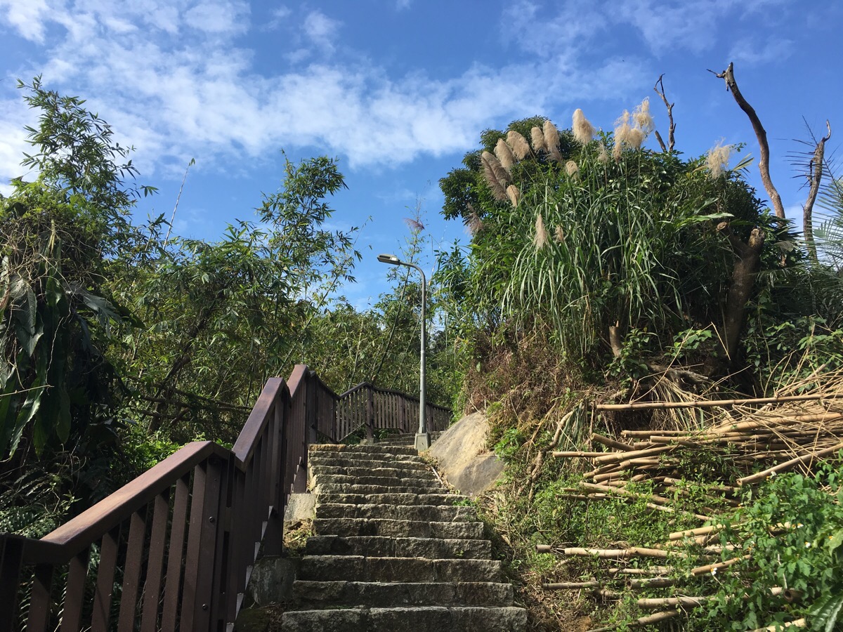
Quickly it starts climbing and looking right offers views back over the nearby cemetary.
At the first junction, keep straight.
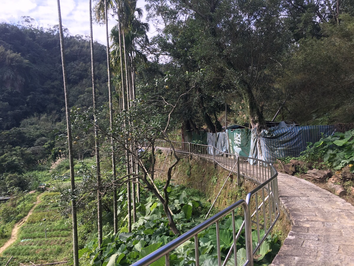
You’ll pass farmland on your right with more farmland lower on the left.
The left side also offers views over a small pond which is fed by the stream you will soon pass and the hill which separates Taipei from Shenkeng.
The path heads gradually up alongside a stream for a short way.
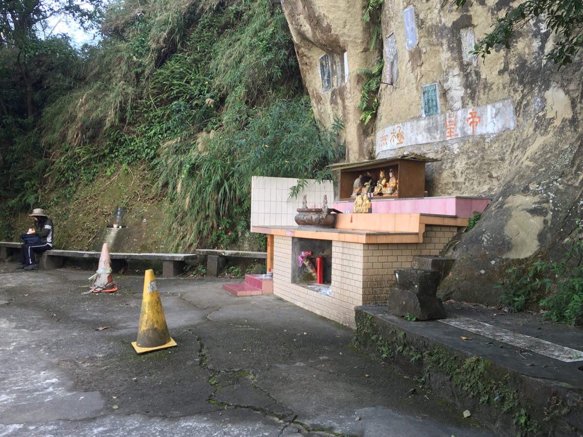
But by the time you reach this first shrine, the stream has already gone its own way. This one is an interesting split-level set up.
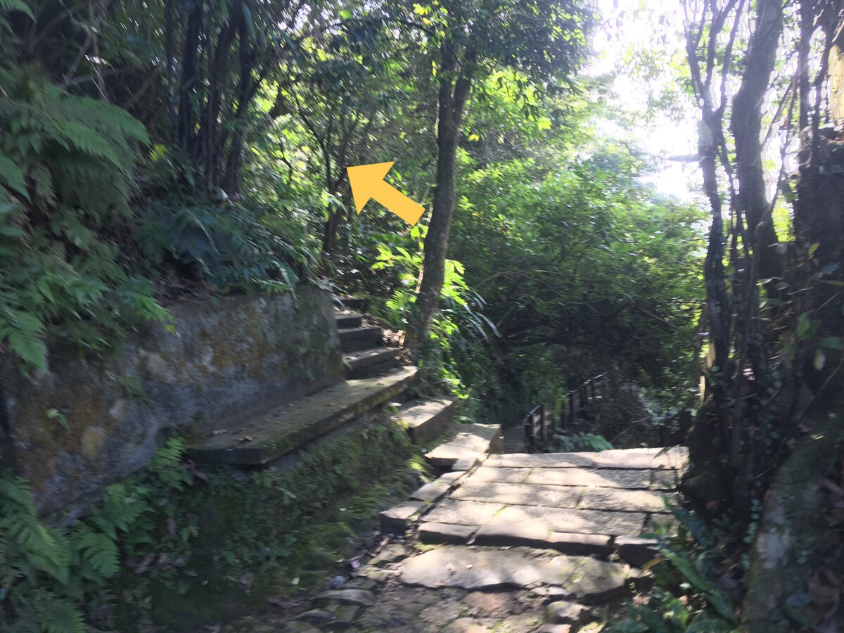
Heading on, there is a smaller path forking off to the left, but I decided to stick to the main trail on this occasion.
Arriving at the second shrine of the walk, I reached the point at which I had headed down previously.
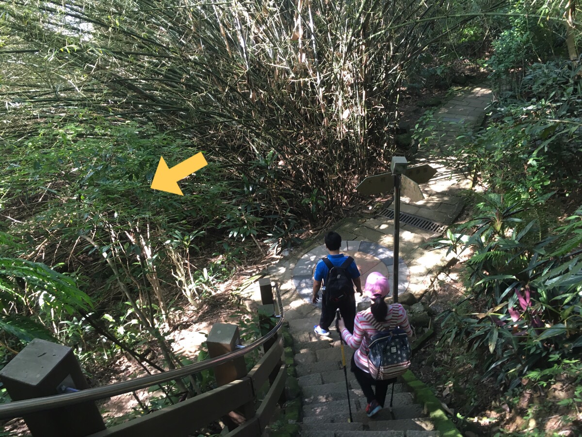
So from here I headed straight on, contributing up along the Nangang trail. This is where I got ambushed. The guy on the bench in this picture attached himself to me and wanted to have a casual conversation about things such as my relationship status, Donald Trump, whether or not I had had a boyfriend before, what foreigners think about Taiwan, whether or not I knew that I wouldn’t have a boyfriend in the future, the foreigners he has had conversations with before, how come I don’t want a boyfriend…you get the idea. The boyfriend questions were spaced just far enough apart to seem plausibly casual, however, every time the subject came back up again it put me a little more on edge.
(Straight over here.) I tried to outpace him, but all I was able to do was to make him a little quieter for the steeper sections.
(Head straight.) Knowing that I planned to go on, and that he probably would to, I had to figure out another way to get rid of him.
He seemed oblivious to the fact that I was clearly uncomfortable. I was giving yes-no answers by this point, and even questioning why he wanted to ask some questions, (when he mentioned boyfriends again). So in the end I just told him that I would rather continue alone. If there are any males out there reading this, I am sure that you are lovely people but please, please, please do not repeatedly question a lone woman about her relationship status and preferences when you meet her hiking (or anywhere for that matter) unless she has explicitly invited such questioning. It is intimidating and unpleasant. I wouldn’t have had the ability to express my wish to be alone a few years ago, and presumably, he wouldn’t have left me lone unless I’d asked. Even having to ask puts you in a vulnerable position, yes this trail was well-populated, but what if it wasn’t? It’s something I wish I didn’t have to take into consideration when I hike, but I am sure it is something that all females who hike alone contend with on some level. So sure, be polite, say hi, chat about the hike, and know when to say bye.
After leaving him behind, I was eager to put some distance between us, so I powered on, not really taking time to appreciate the views. I went straight over 95 peak without even stopping to have a look.
The trail passes Taipei’s least exciting hill, Nangang Shan, still powering forward.
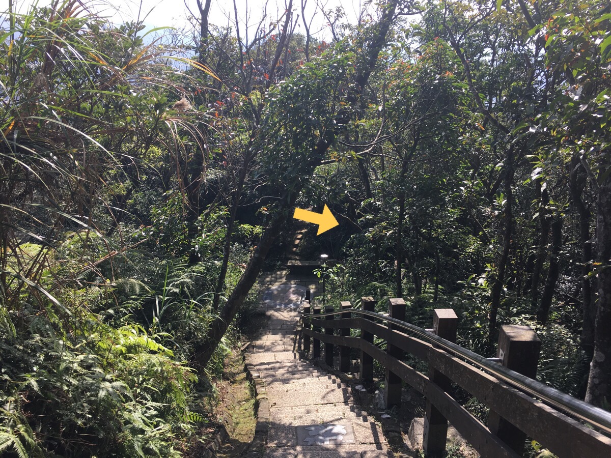
Beyond Nangang shan, the steps head down and take a sharp right turn.
I knew I was close to Muzhi Mountain when I saw this shrine.
The first time I’d been in the area, I skipped Muzhi for some reason, but this time I decided to make the brief detour up.
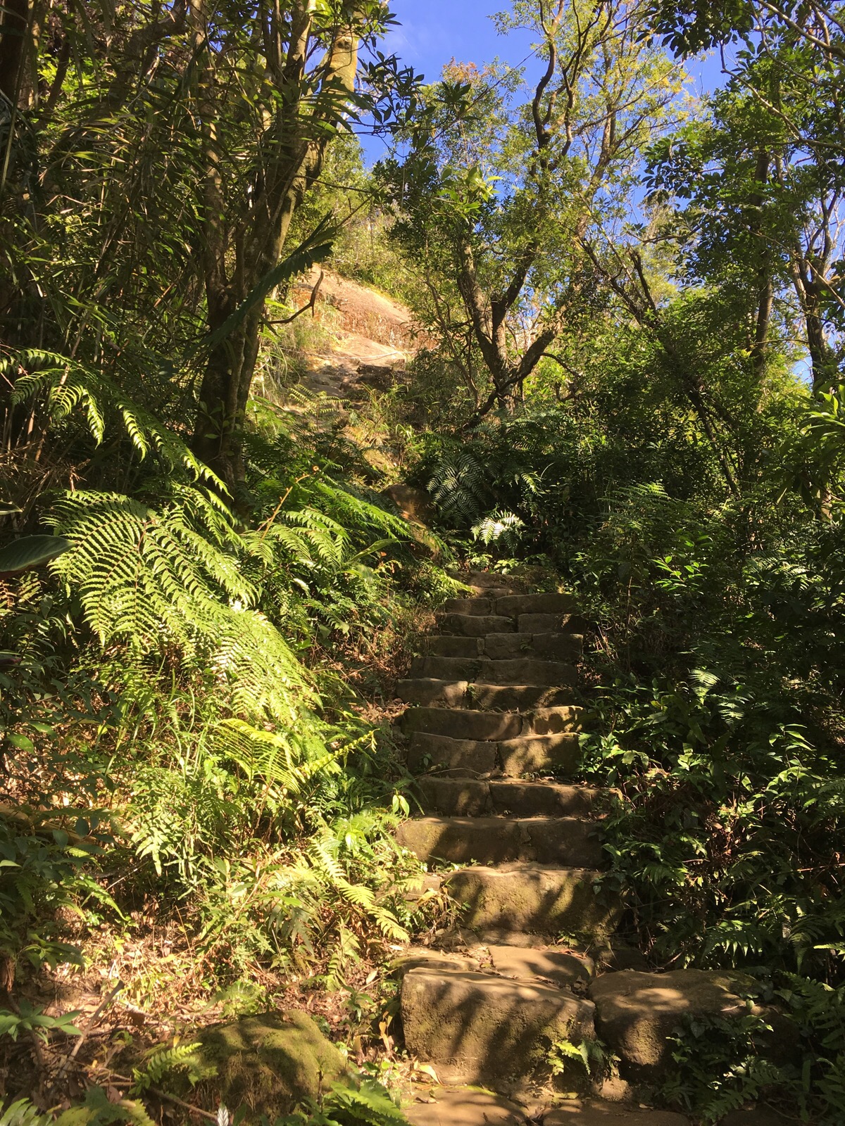
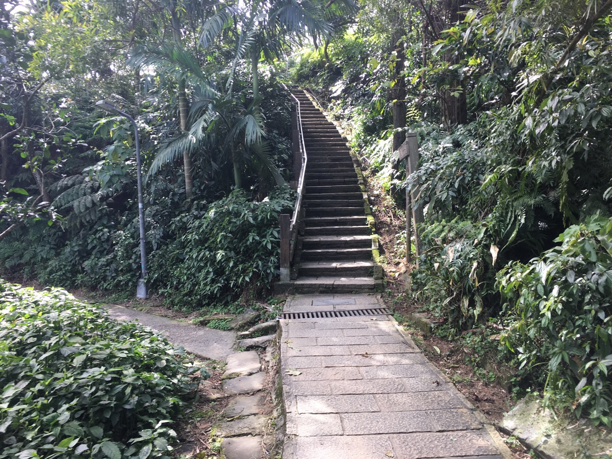
The steps are a little smaller and narrower than the rest of the trail, but they’re still easy to climb.
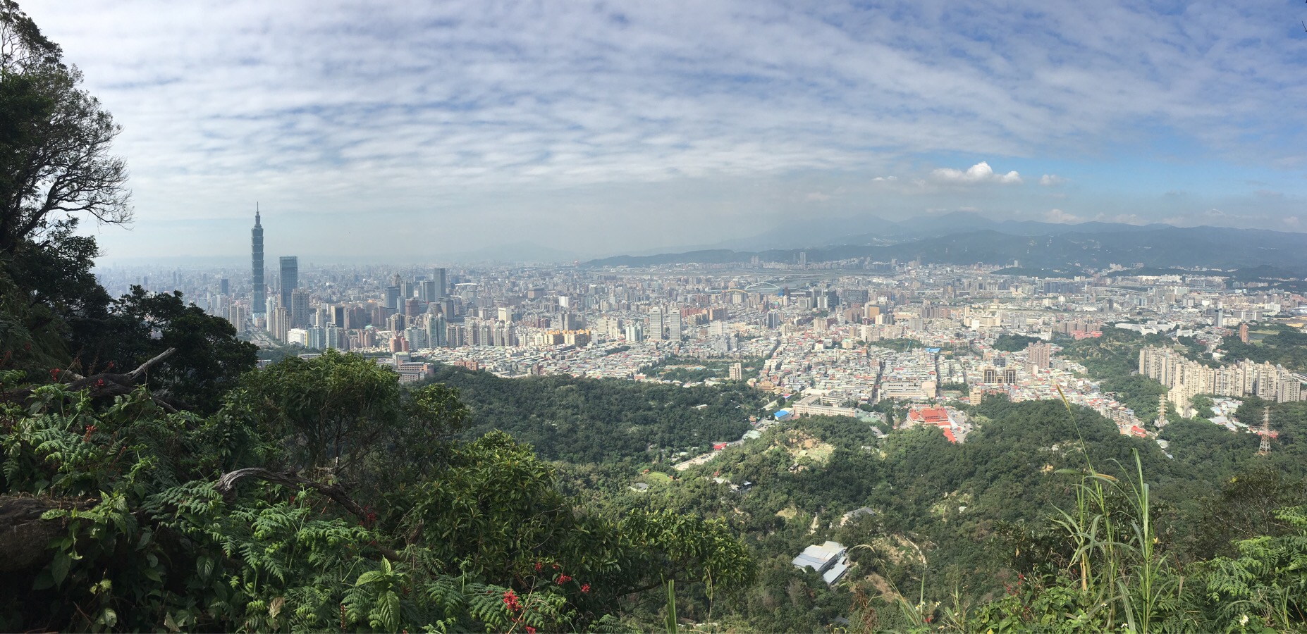
Upon reaching the top, I realised that I was lucky enough to have the spot to myself. (I imagine it gets kind of busy on weekends.)
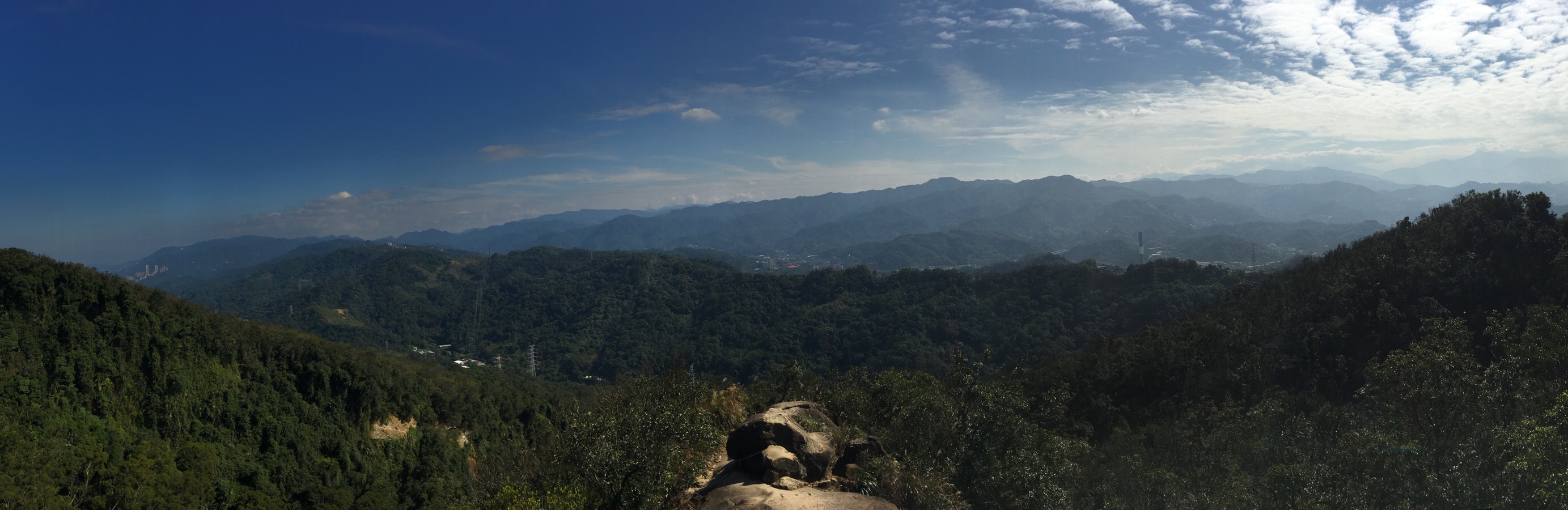
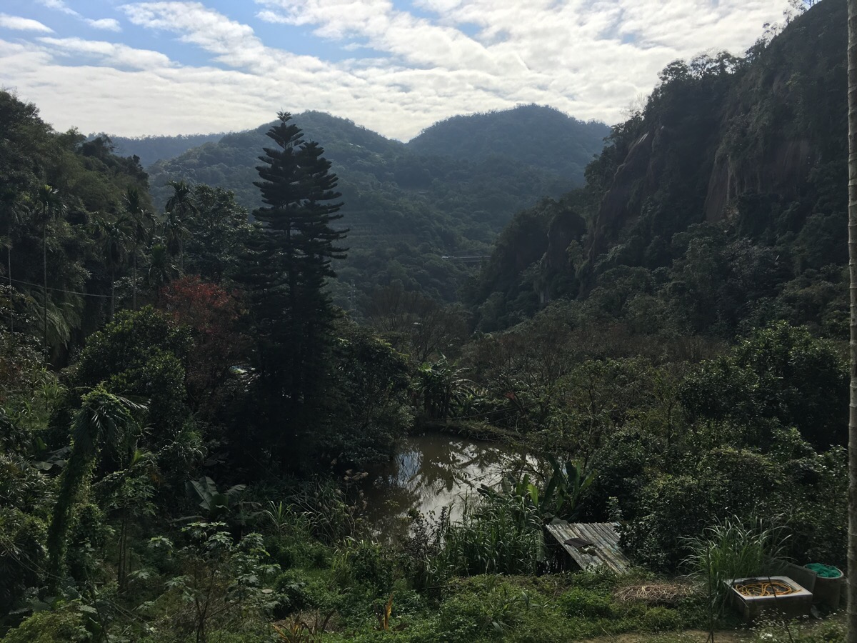
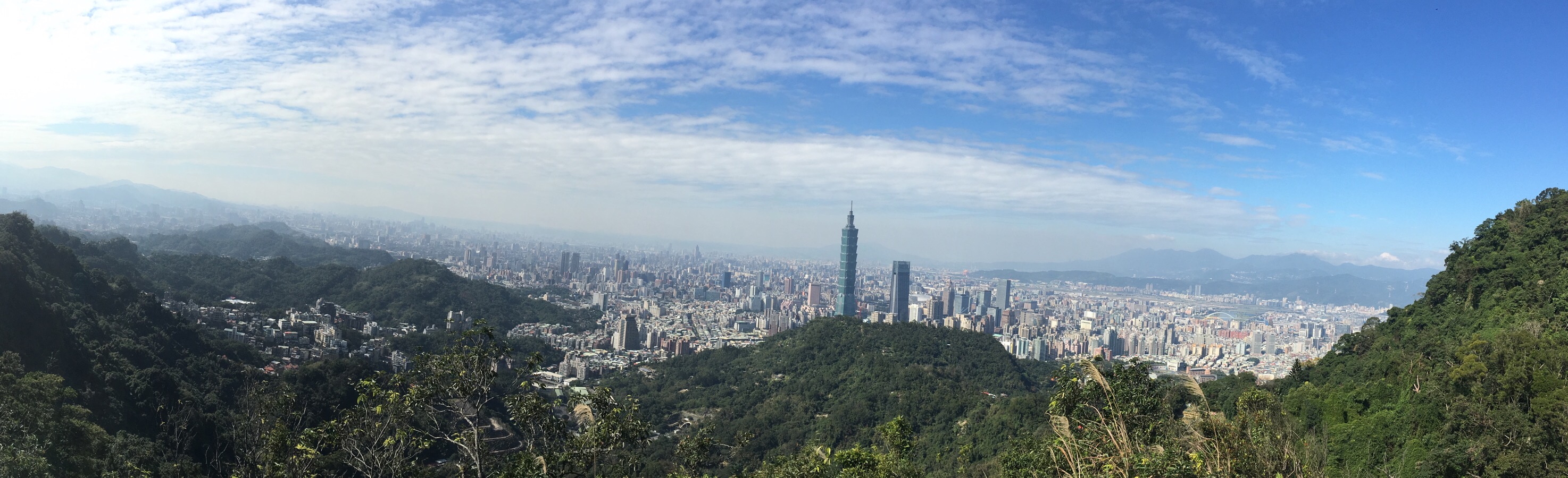
There are 360° views all the way over Taipei in the east and towards Shenkeng District to the west. It’s definitely worth a quick trip if you’re passing.
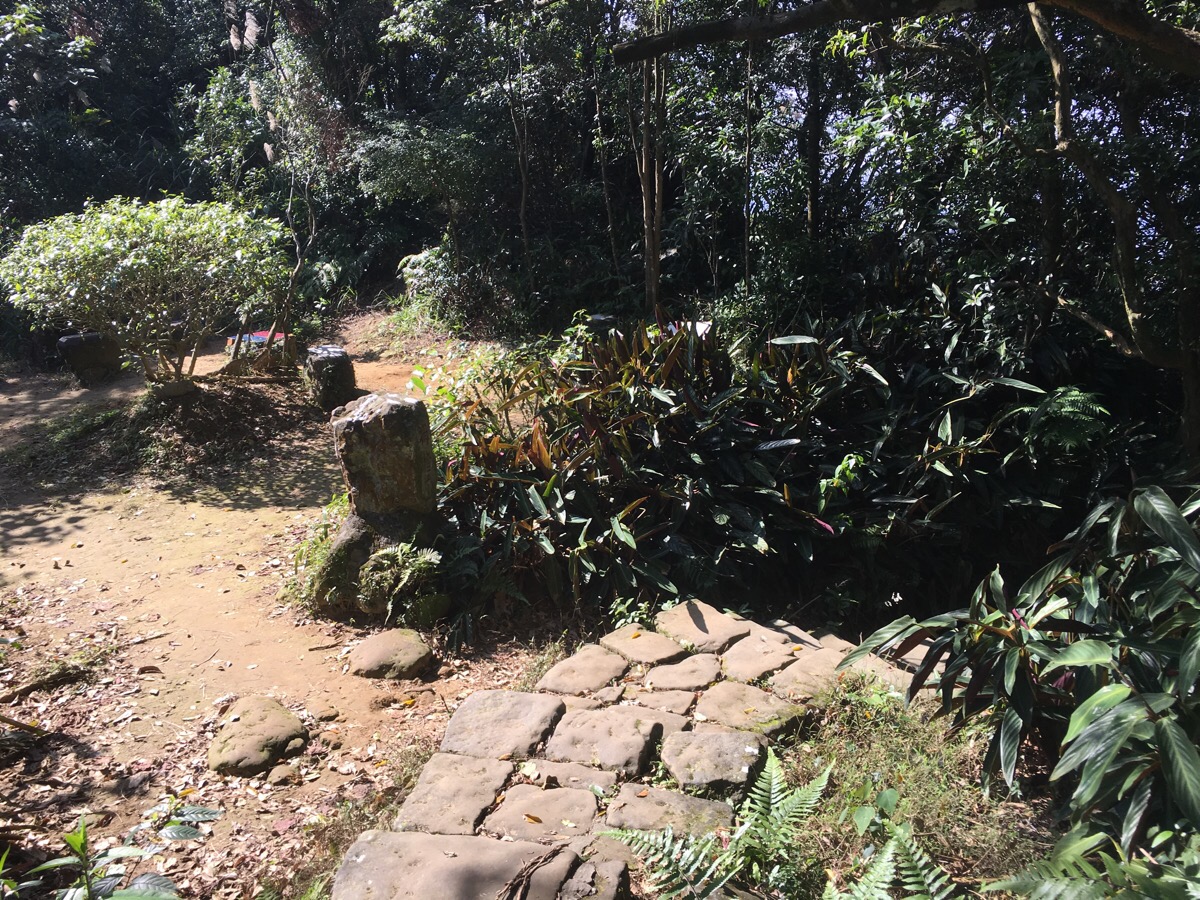
Heading back down to rejoin the main path, you pass a rest pavilion on the left.
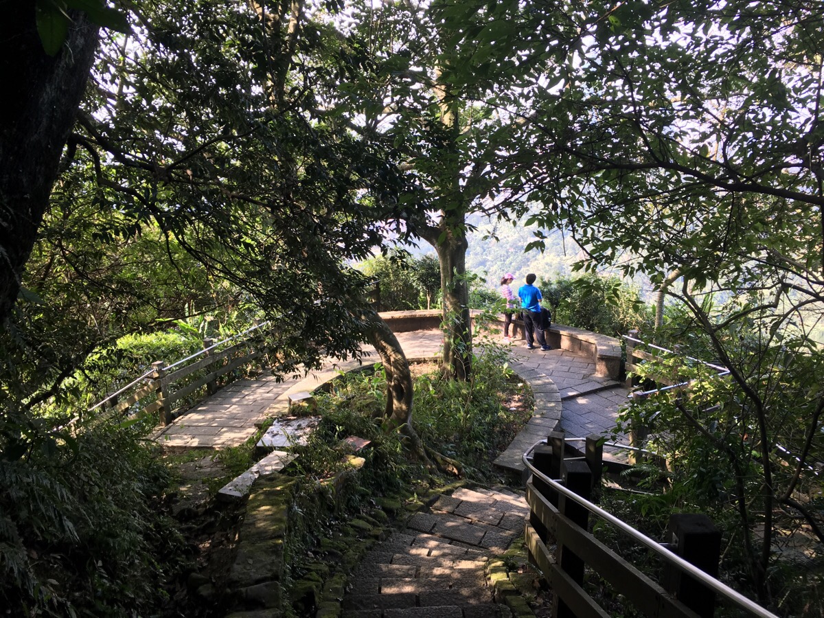
Down a little further and there is a viewing platform which was populated by a couple of cute squirrels – I assume they must be residents of the area since they were there the last time I came too. I could have taken a shortcut here by going left, but the steps looked a little worse for wear so I decided to go the long way around.
At the bottom of a steep flight of steps, the path splits. I wanted to extend my walk, so I took the left path towards Muzha, (right goes down towards elephant mountain).
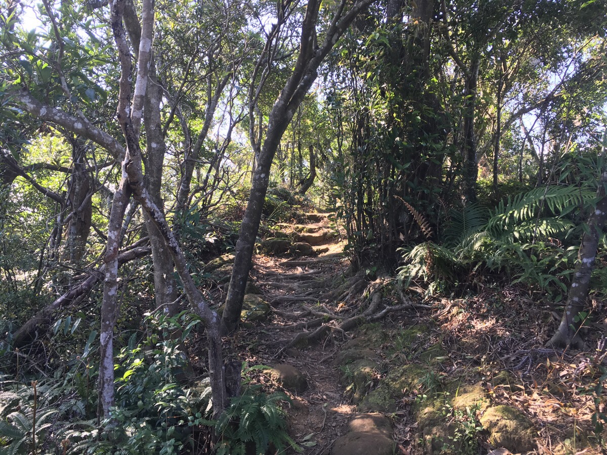
The path starts off quite well-defined, but a lot less concreted than where I had been walking so far. A few minutes after turning onto this path, I encountered a group of local aunties who had started up the path, only to reach a part which they deemed impassable. They were busy taking photos of themselves on the difficult section when I showed up and I was subsequently roped into photographing them so that they could all be in the photo, (and then some more photos with me in it – I’m going to have to start asking for photo swaps when this happens I think). They said they were trying to get to Elephant Mountain which seemed weird, and then 95 Peak, which they could have done, but again, they would have had to misread the signs to end up where they were. They asked if I knew where I was going before turning back the way they’d come and leaving me to head on.
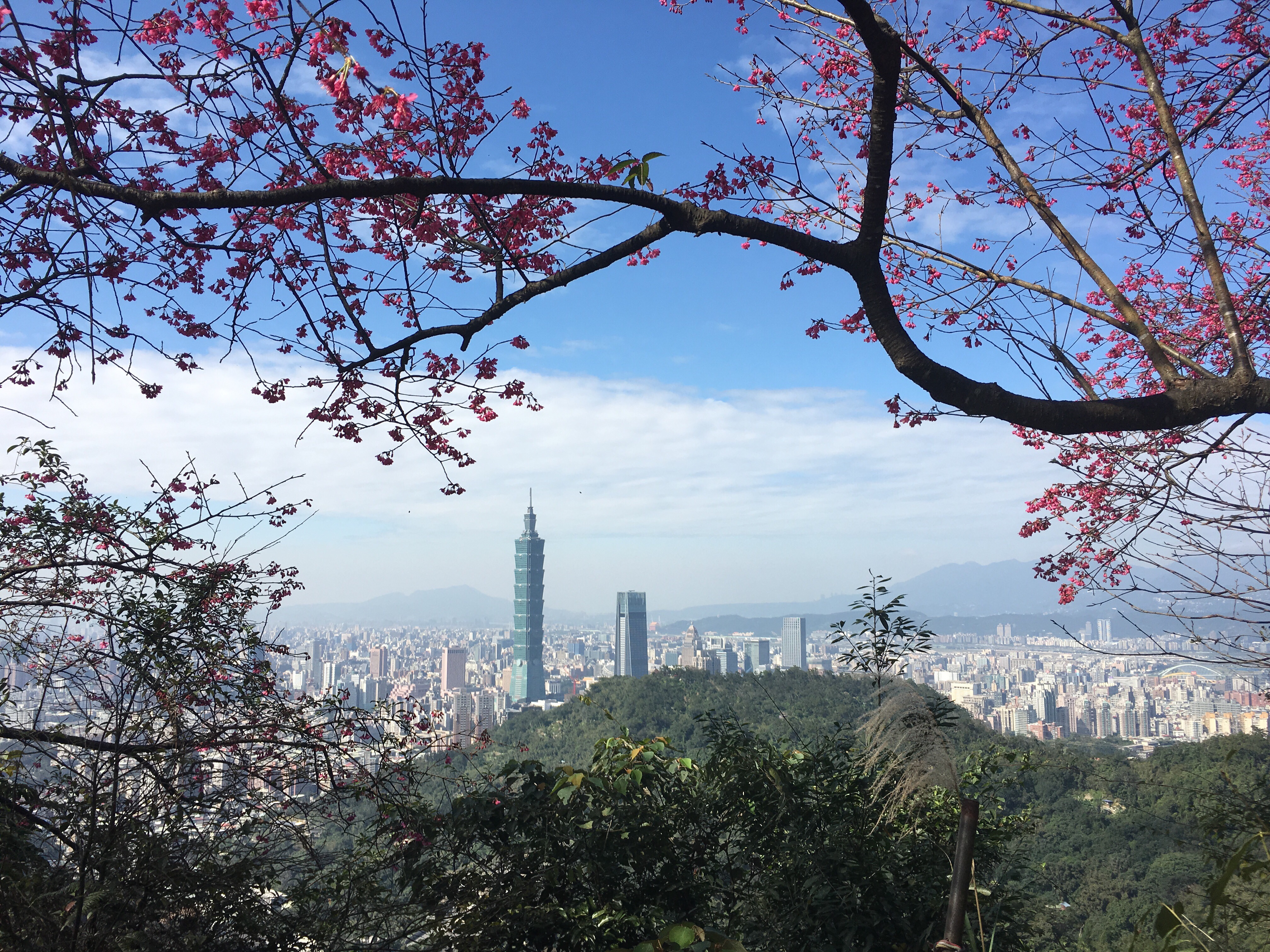
The difficult section turned out to be only a few metres. The path which came down from the squirrel lookout platform joined on the left, and I followed the path as it bore right. At a rest area with a low table and some chairs, there was this lovely view of Taipei 101 framed by what I am almost sure is early cherry blossom (although I know there are trees which can be mistaken for cherry in Taiwan, so please correct me if you know better).
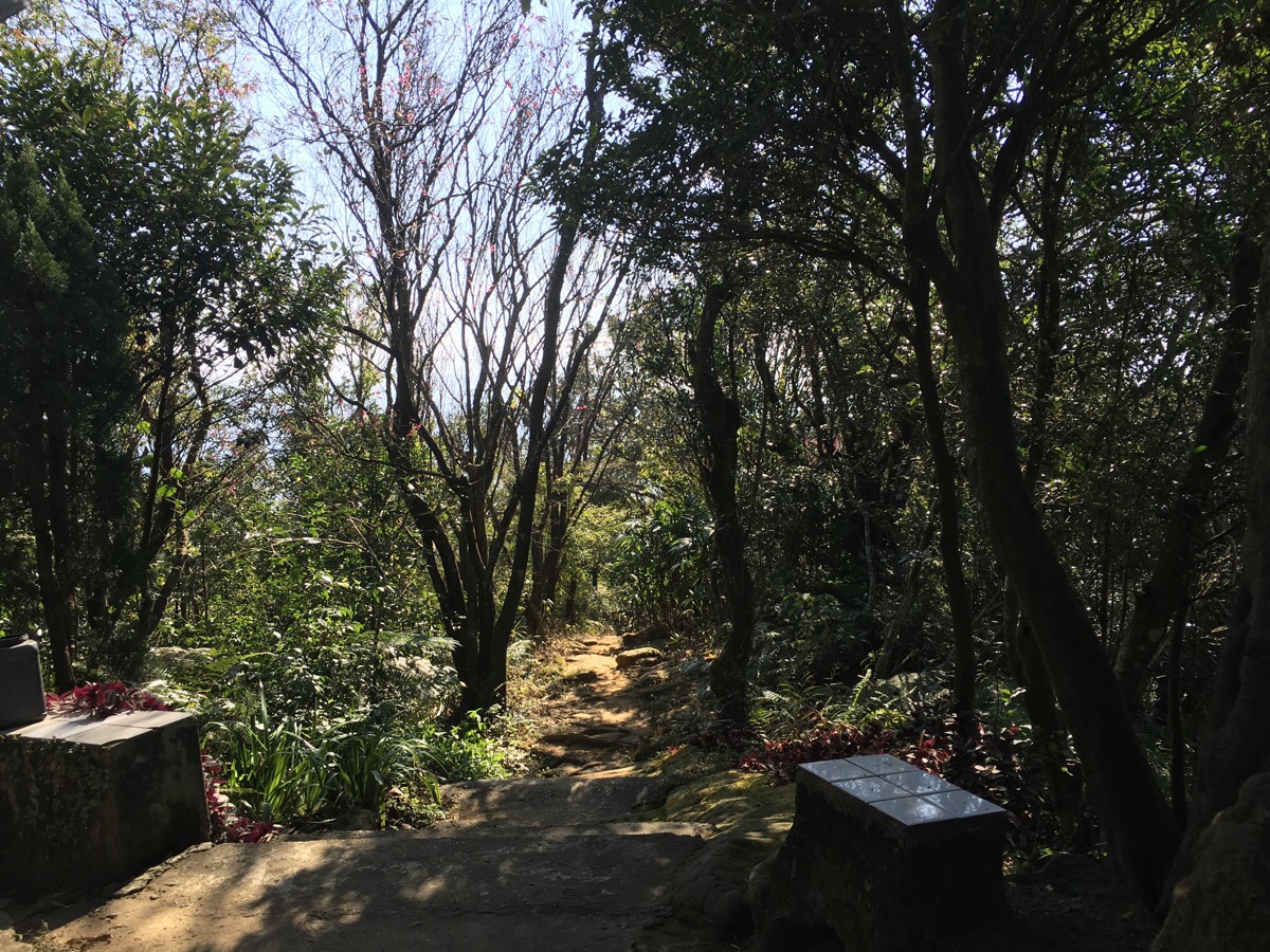
For a brief way, the path actually sticks to the ridge line (rather than just under it as it is for most of this walk), and the change in both view and path is pleasant.
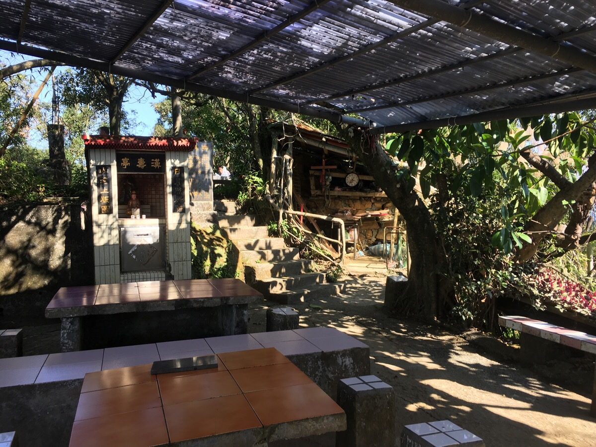
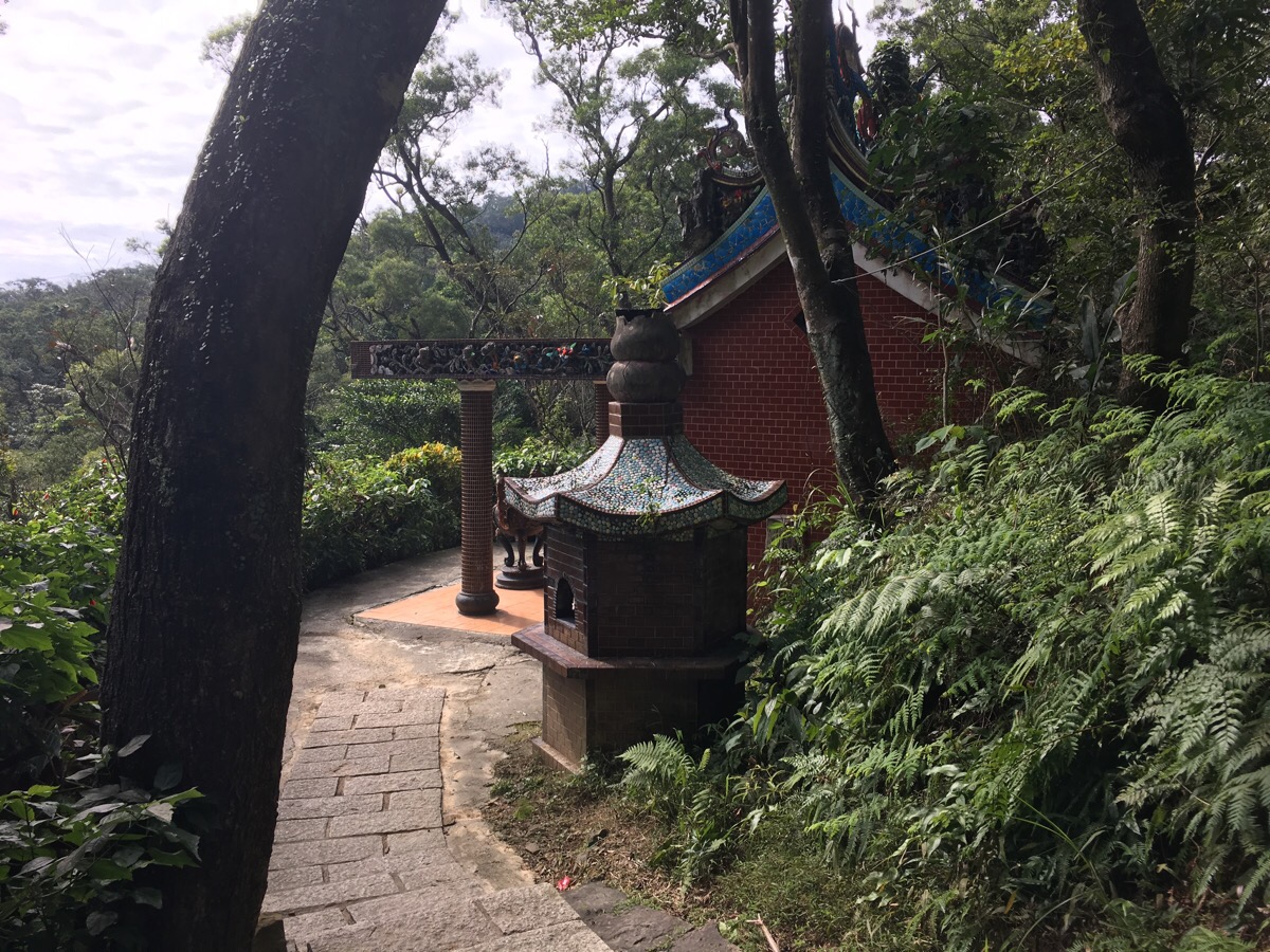
At a peak of sorts, there is another small temple, this one called 亭夀漢. I stopped here to eat some of the guava that I’d brought with me whilst admiring the view. This is roughly on top of where the Xinyi Expressway cuts through the hillside.
Heading down, the path edges past another site of religious note, this one seemingly Christian.
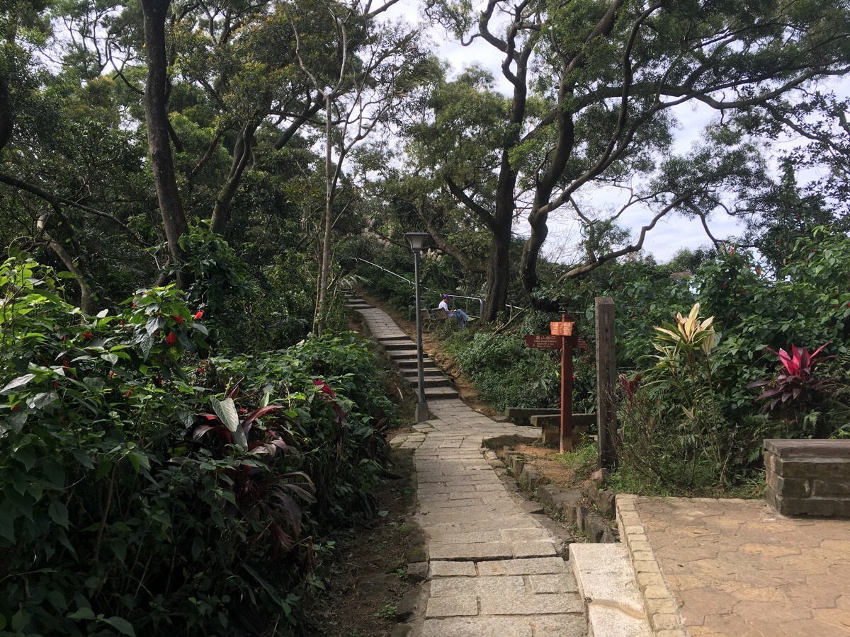
Keep following the path until you reach these steps heading down. There are apparently three paths here, but only the one with steps is very clear.
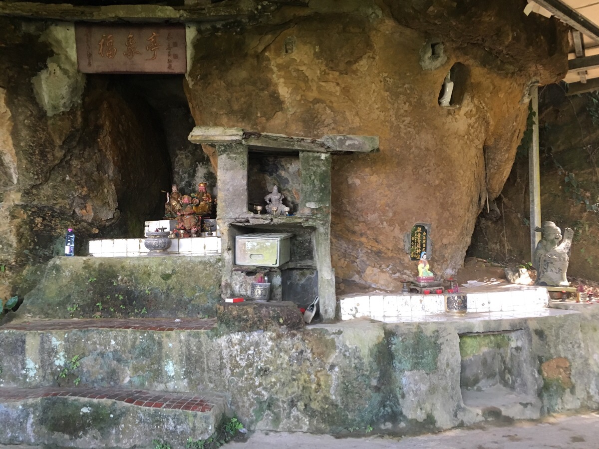
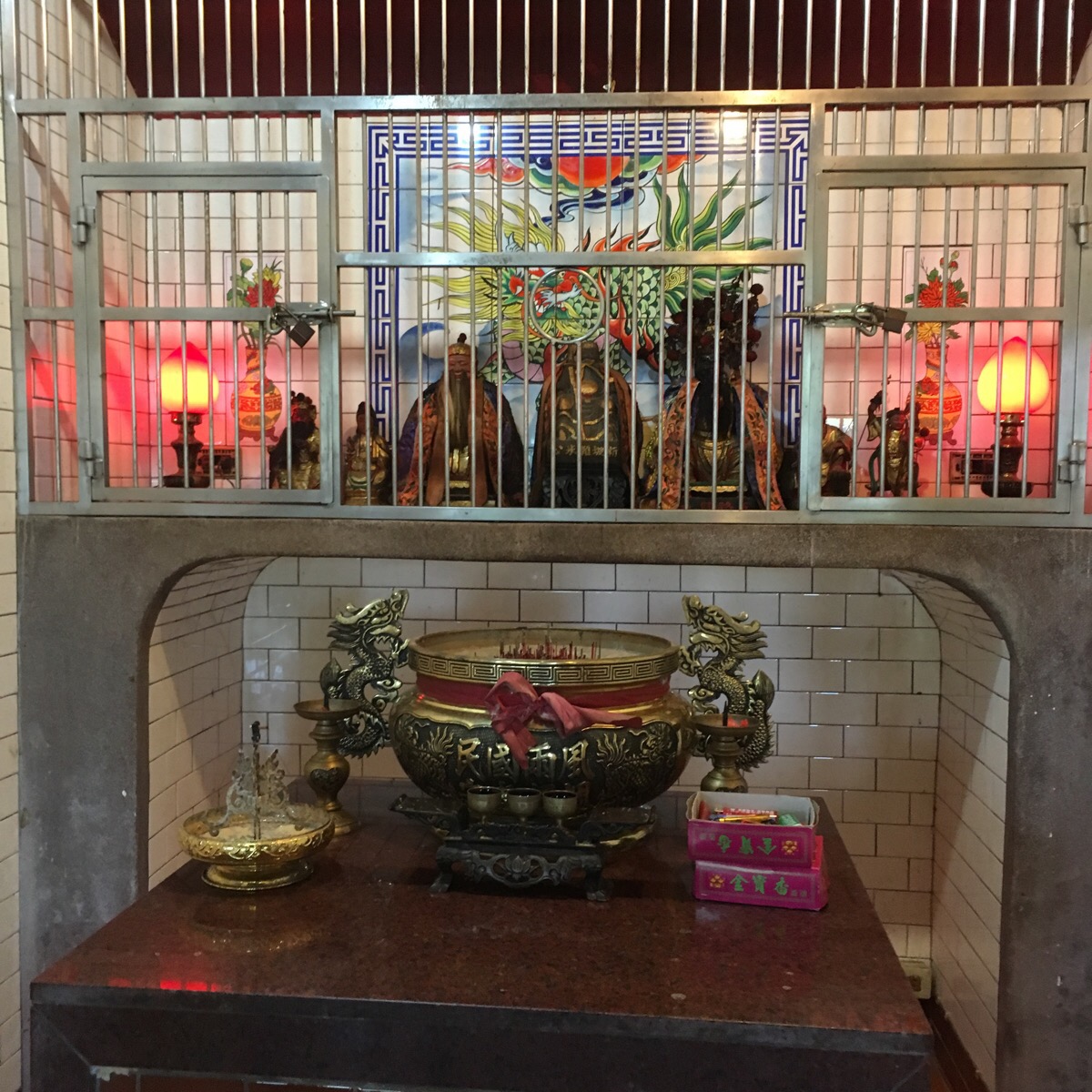
Halfway down the steps, there is a shrine cut into the rock. What makes this one interesting is that there are several different shrines grouped together. Each deity has its own area and incense.
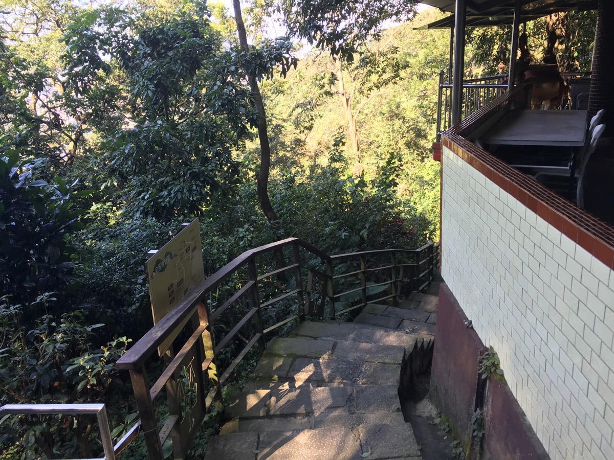
Where the steps head out onto the road, head left and downhill.
Heading straight on here will lead directly back towards Wuxing, but I felt like continuing a little further so I took a left turn up onto an embankment.
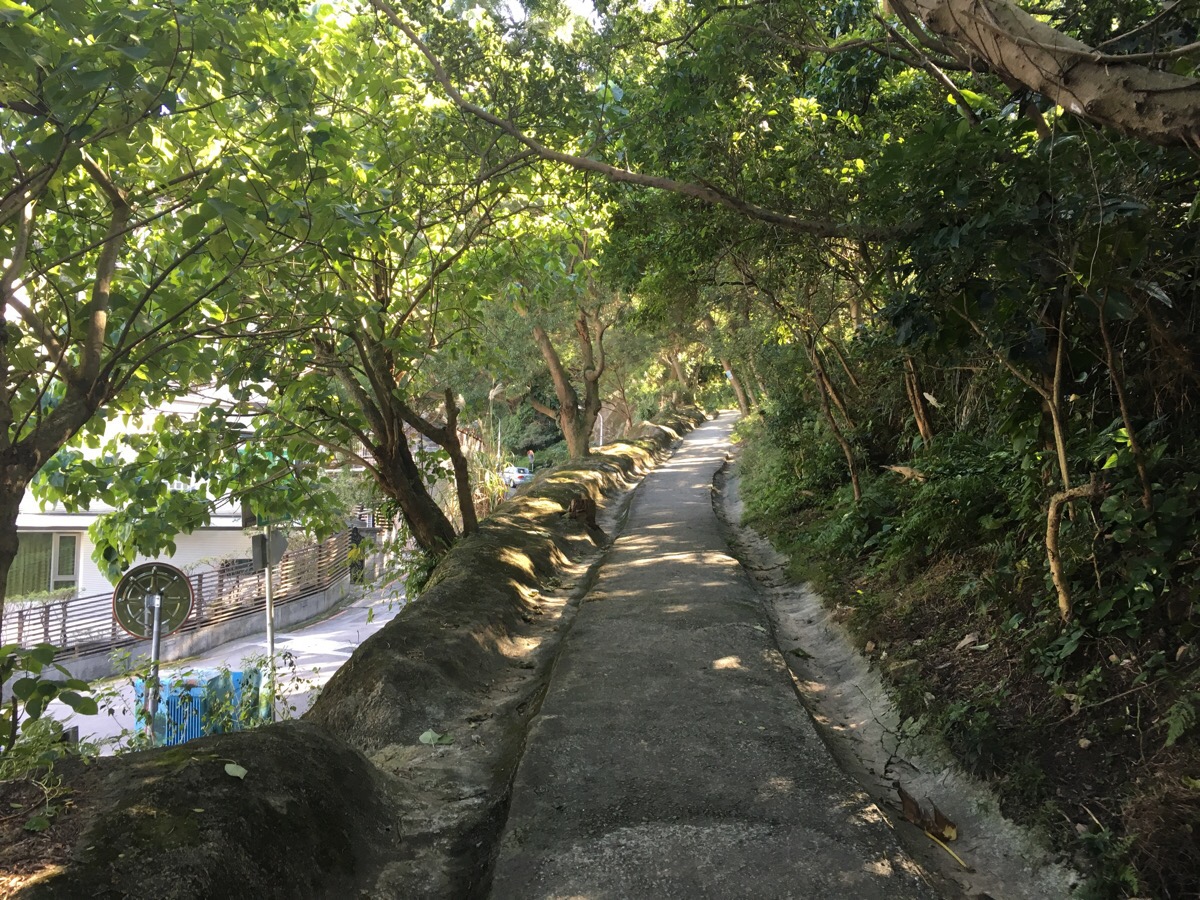
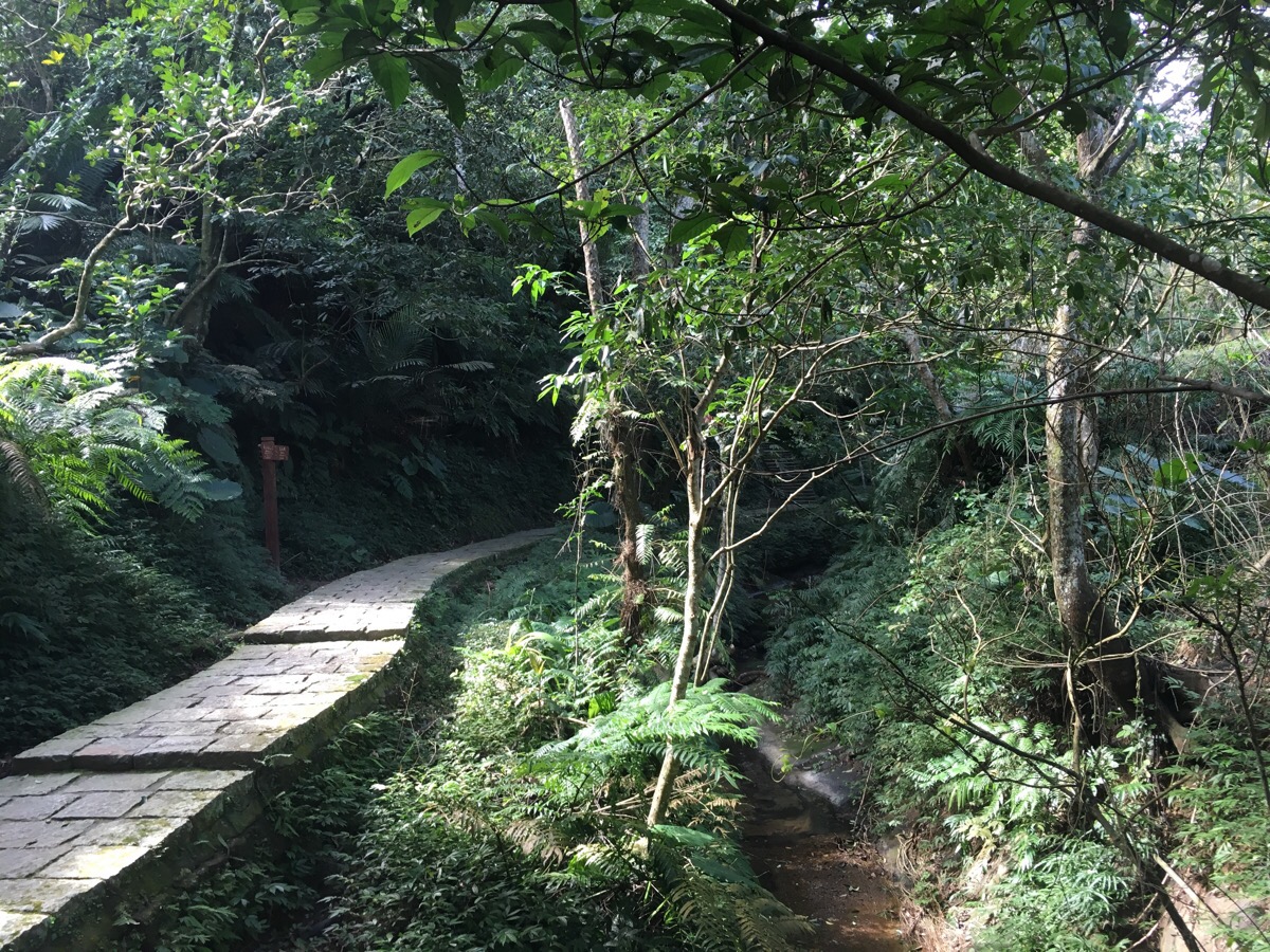
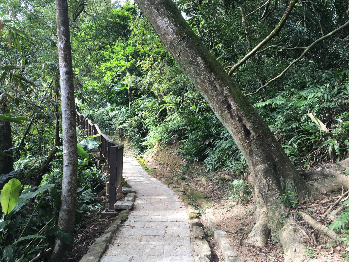
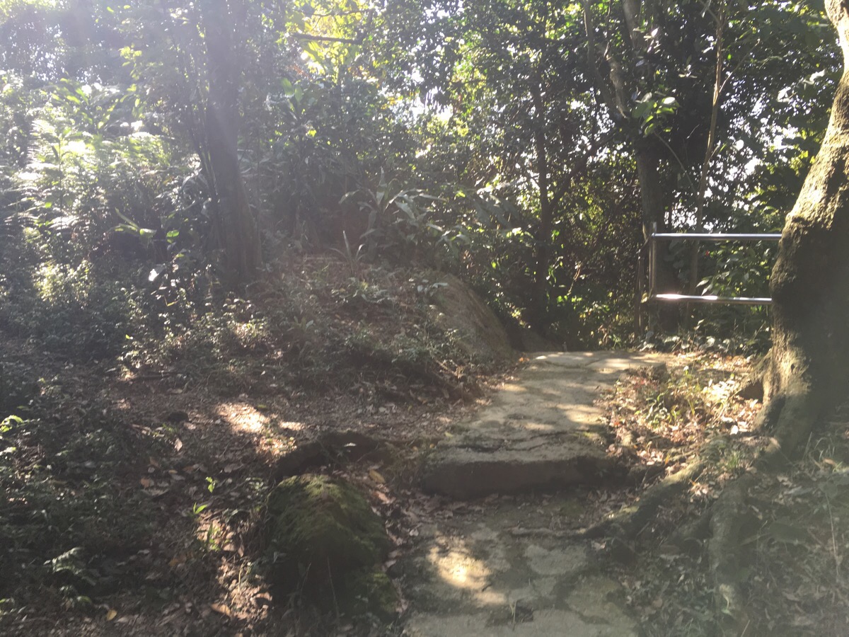
This path is very well-defined and without turn-offs, so is easy enough to follow.
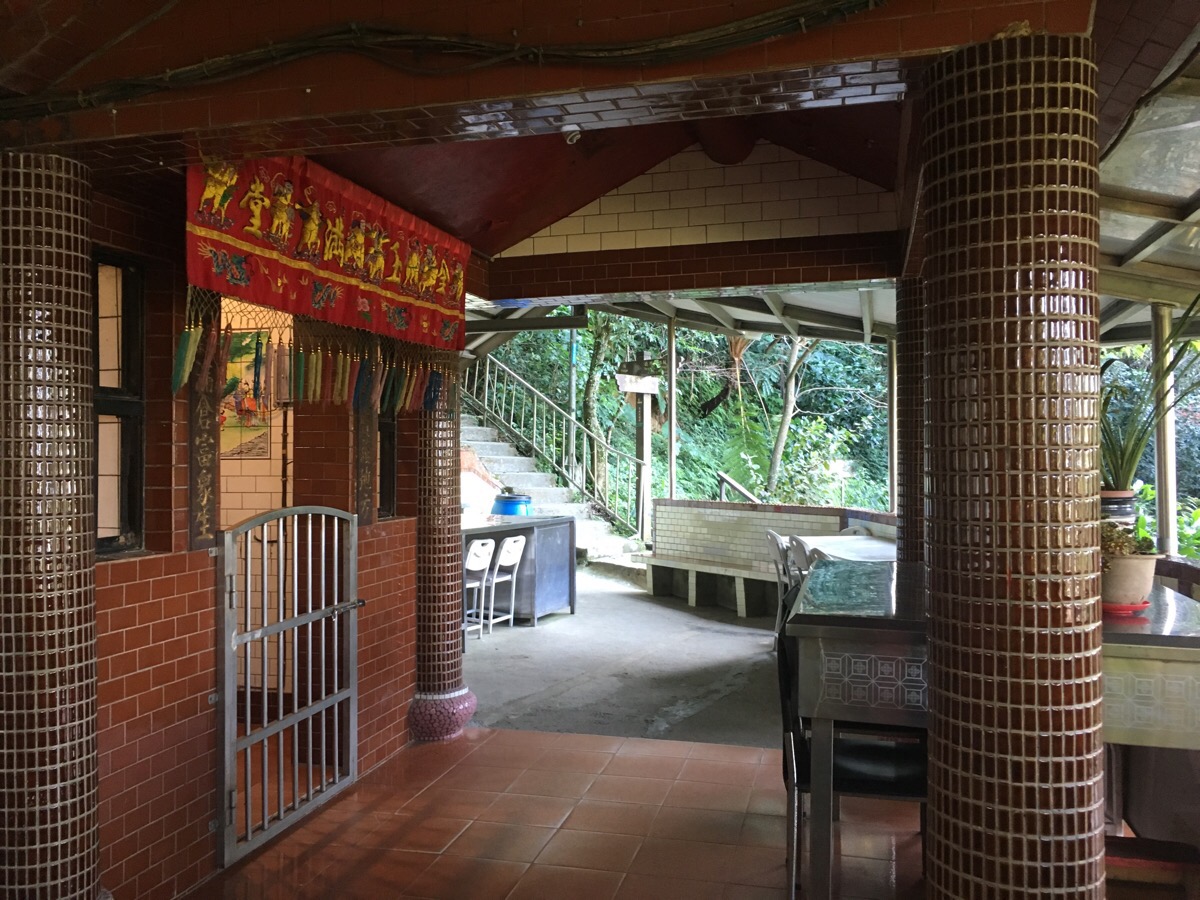
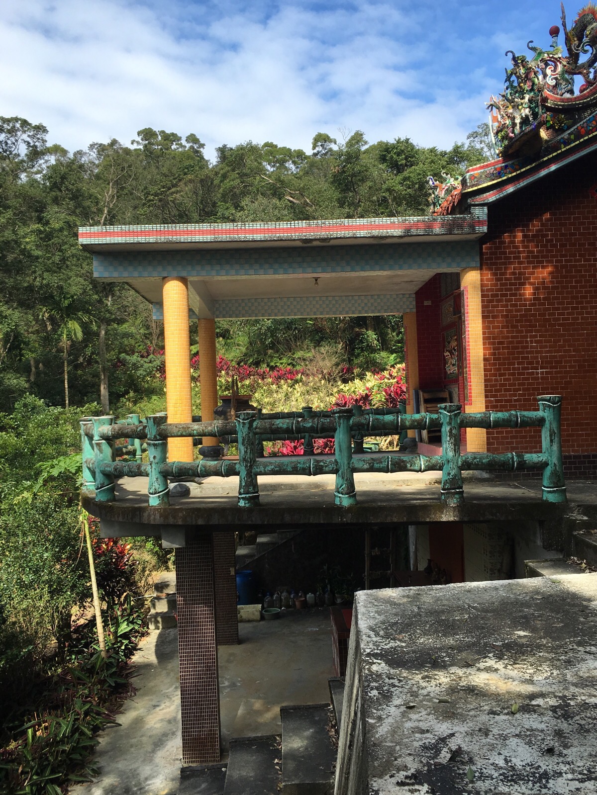
The path passes through a large shrine of big temple and just beyond connects with Tiaomi Historic Trail.
A nearby information board says that this area used to be a resting place on the Tiaomi trail because of a nearby water source and a pleasant, shady environment. The people who used to use this path for transporting rice built this temple here in the 1820s as thanks to their Gods for providing such a comfortable rest area. The figure in the middle is the original God from that early temple—it was carved out of stone and still remains to protect the route to this day.
After the temple, I turned right to go downhill. There are three temples along this short path.
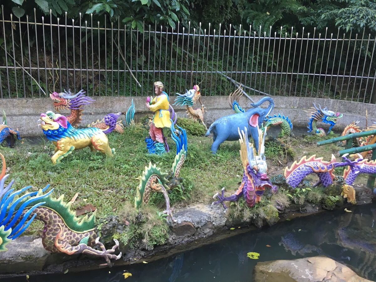
The middle one has a strange circular window and appears to be dedicated to a slightly different grouping of Gods – perhaps more Buddhist than Taoist, maybe both even. The final temple would be unremarkable if not for this bizarre dragon island surrounded by a metal fence.
Just a little further down, the path ends and rejoins the road.
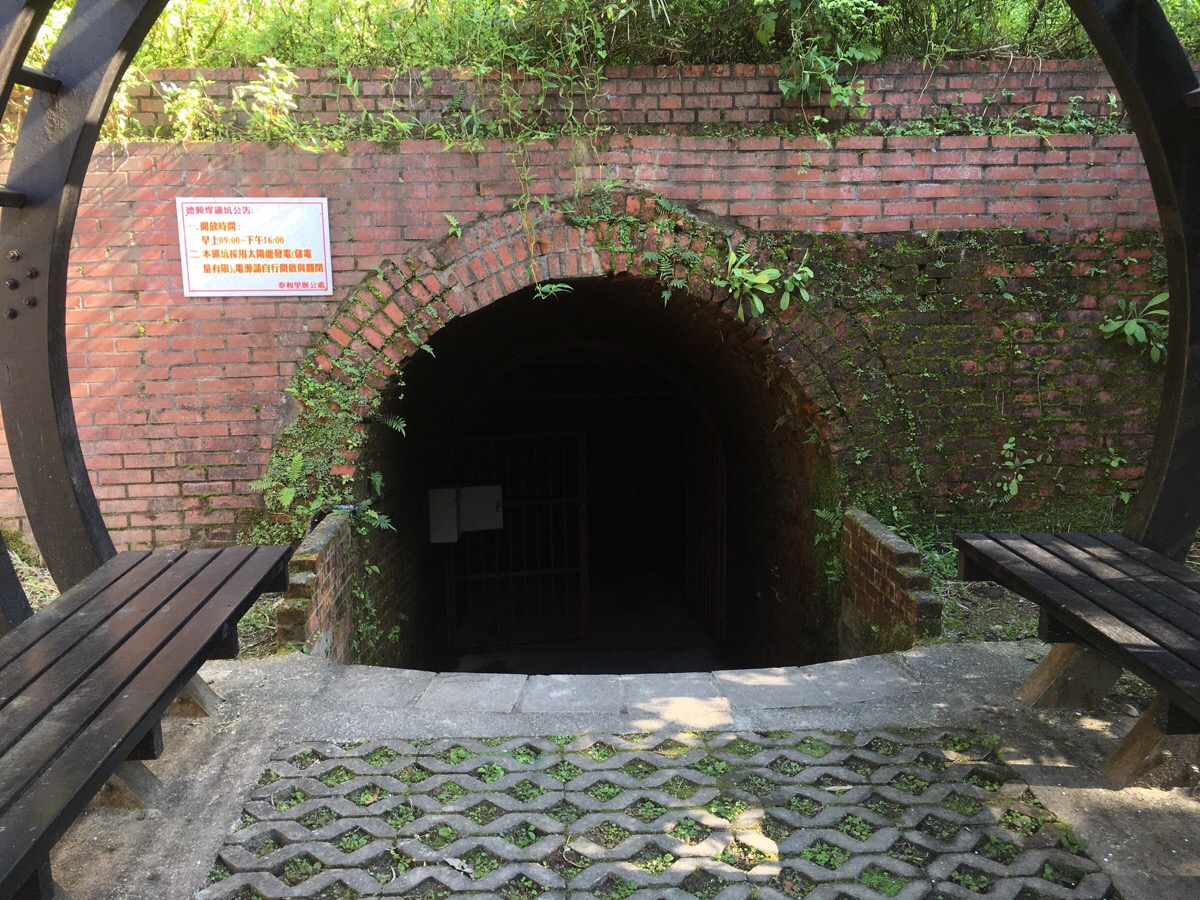
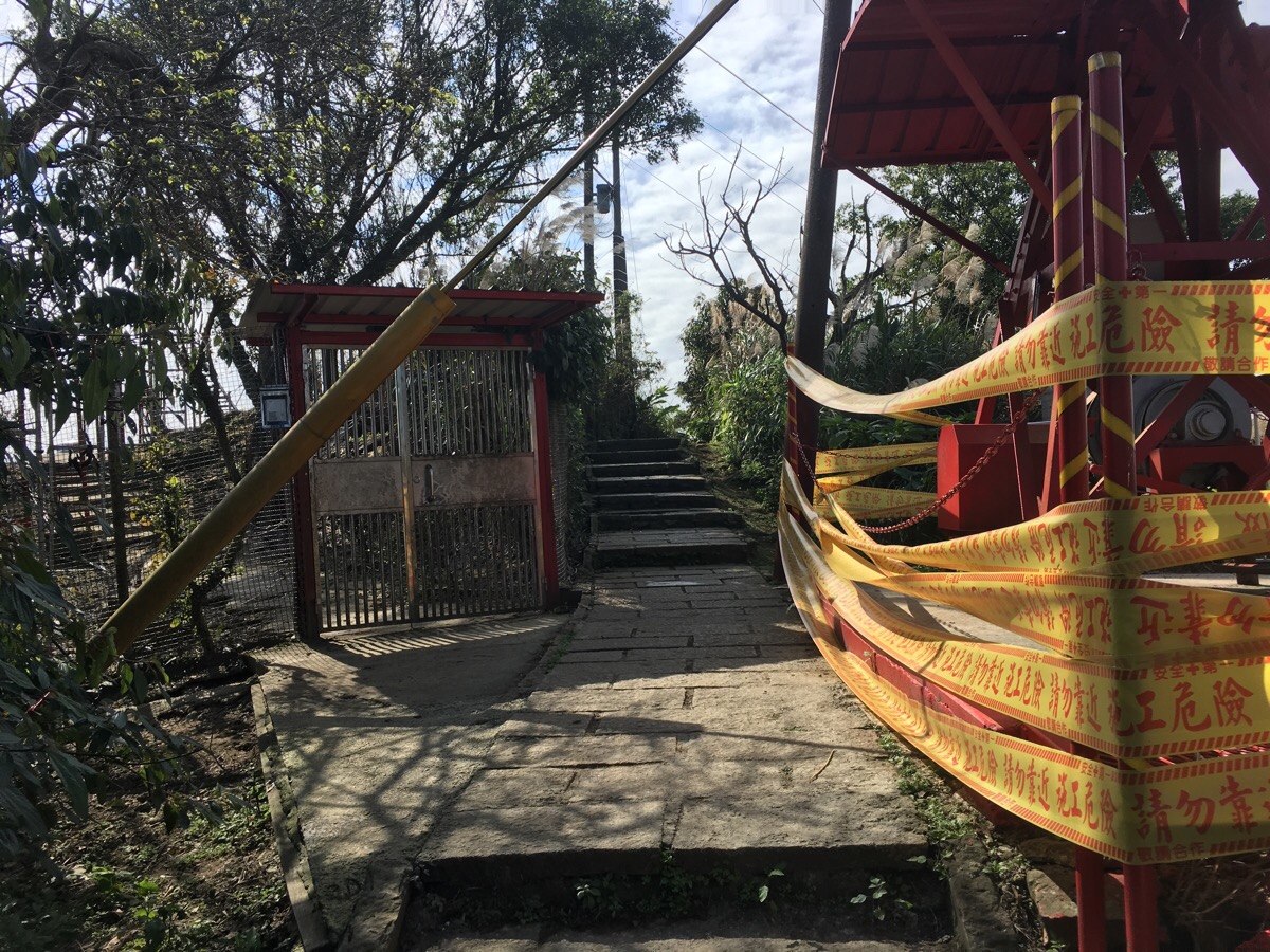
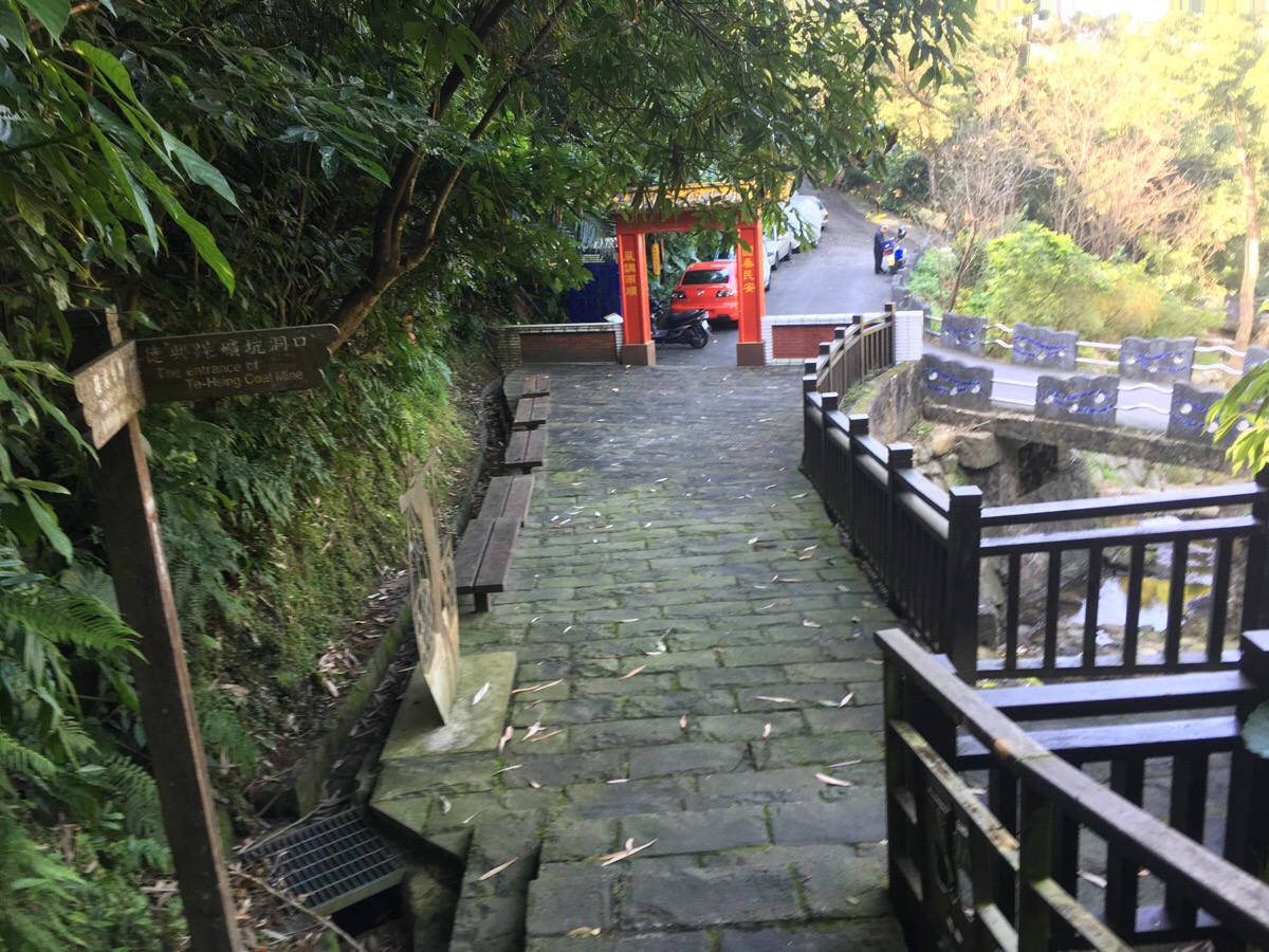
The trail entrance is right next to this old mine entrance. The sign next to the opening says that during opening hours, you can go in and have a look around, but since the lights are solar-powered, you have to turn them on and off again yourself in order to save electricity.
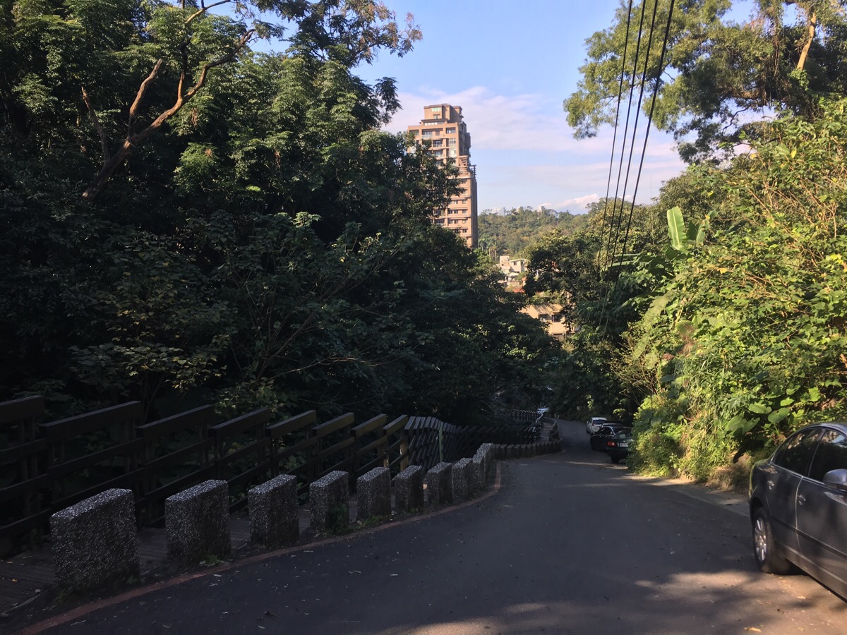
From the trail entrance, it’s just a case of heading back into the city. Follow the stream down for a way until it be aimed impossible.
At the end of this road, bear right.
Head straight towards the OK Mart.
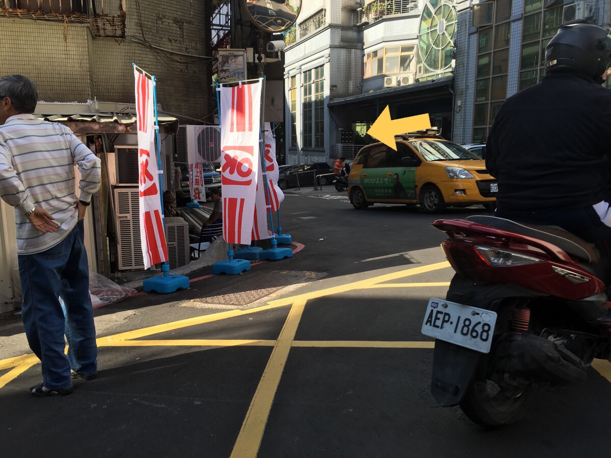
Cross over and bear left a little.
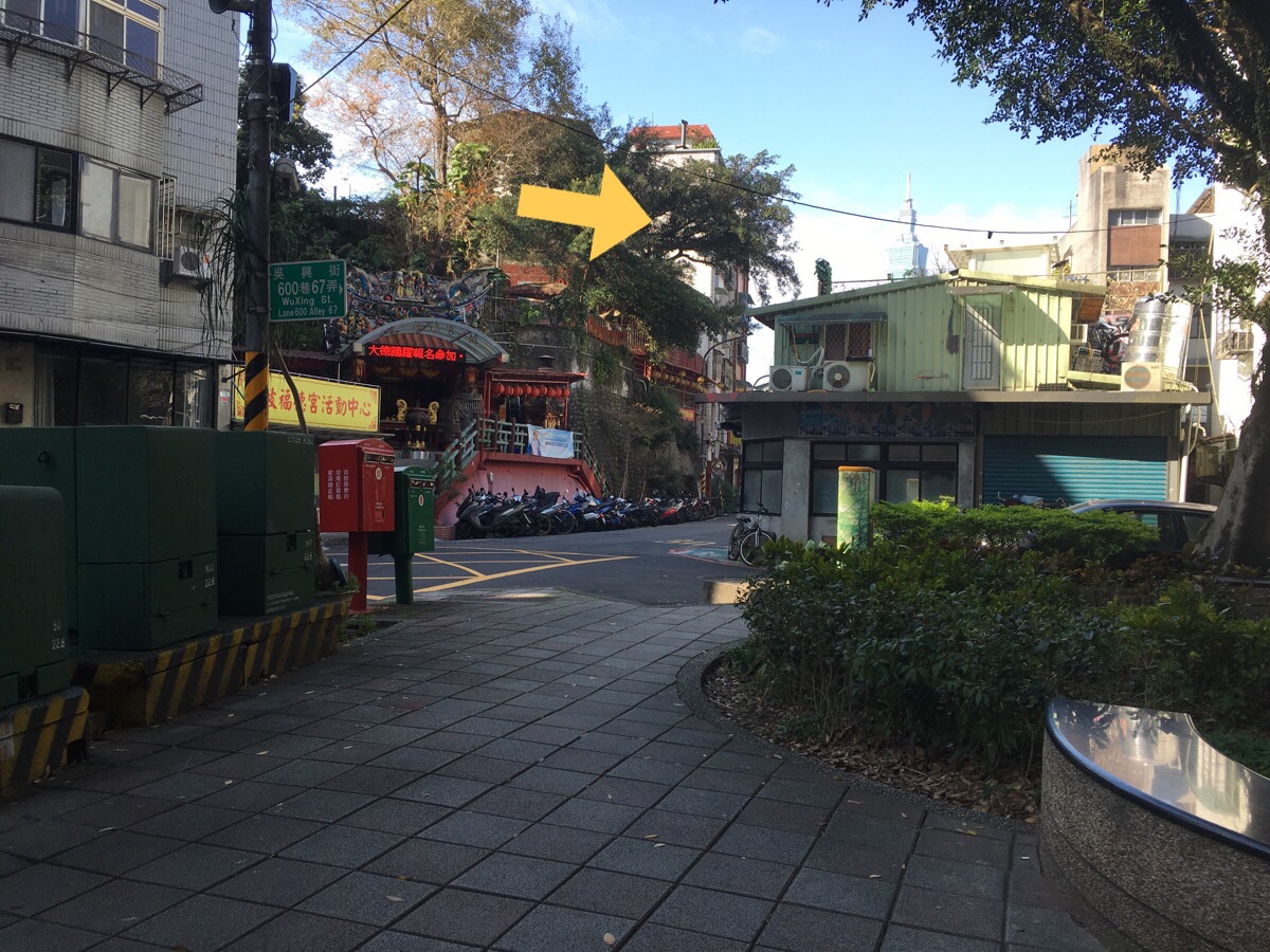
Round the park, actually, you could go either way, but I went the way that looked more interesting.
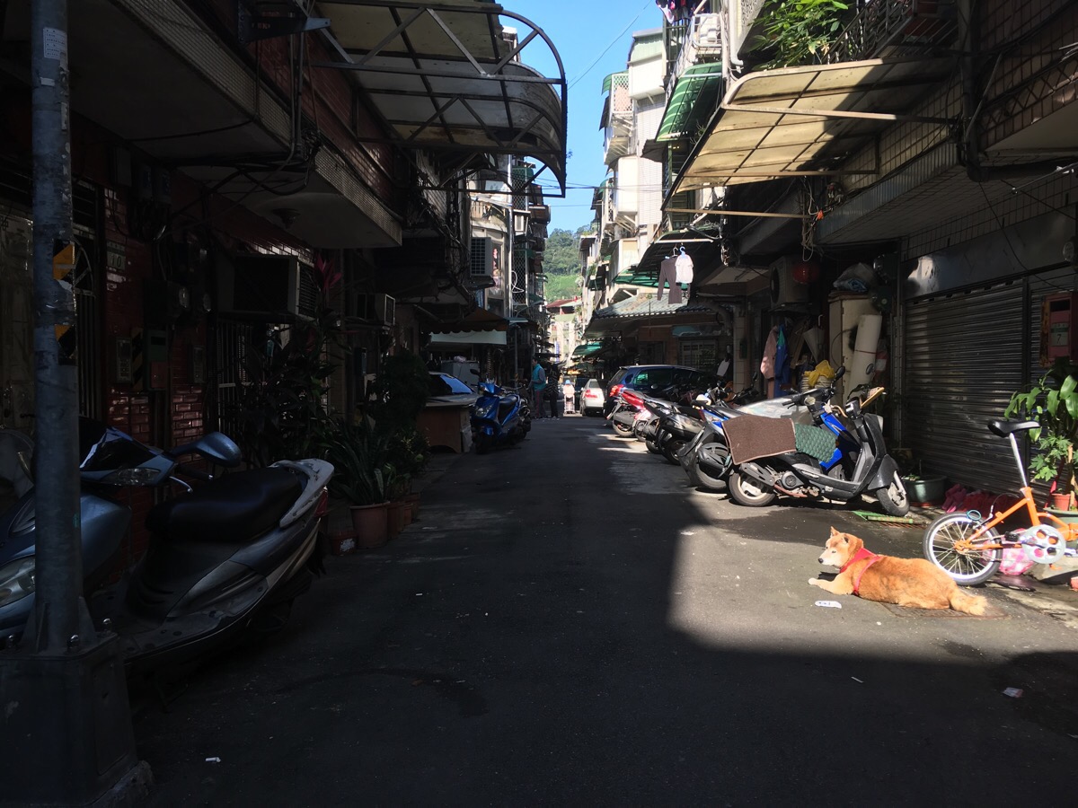
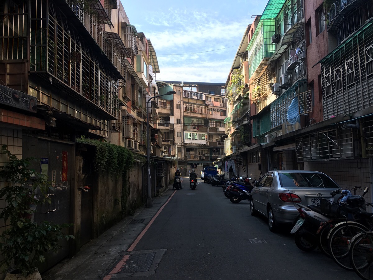
Likewise, I followed Lane 600, Wuxing Street until I saw this Alley (Alley 2, Lane 583, Wuxing Street), which looked interesting.
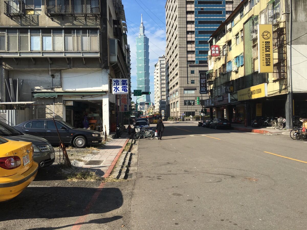
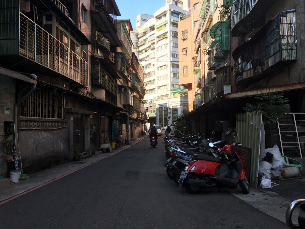
Beyond the lane, Taipei 101 came into view. Once you see that, just keep heading up until you reach the MRT station or a useful bus stop.
How to get there
Google Maps address: 南港山縱走親山步道中華技術學院登山口, No. 245, Section 3, Yanjiuyuan Road, Nangang District, Taipei City, 115
GPS location: N25 01.977 E121 36.596
Public transport: two buses leave from near Nangang MRT and rail station. You need to exit the station and cross the road to catch either the 270 or the BL25 and alight at China University of Science and Technology.
My new words learnt on this hike:
1. 很衰 / hěn shuāi / unlucky or unfortunate
Trail Map
GPX file available here on Outdoor Active. (Account needed, but the free one works just fine.)

A bit sketchy out on the trails. Perhaps a can of Halt! may come in handy.
LikeLike
I think there must be some cultural reference that I’m not getting what is a can of Halt!?
LikeLike
Oh! I think I’ve found out what you mean – it’s a type of dog repellent right? It might have come in handy for my unwanted acquaintance, yes. Luckily it’s not a common problem here. At least it’s not common compared to back home.
LikeLike