Distance: 4km
Time: 3¼ hours – this could be done a good deal quicker, it was a leisurely afternoon kind of pace and I was recovering from a cold.
Difficulty (regular Taiwan hiker): 2/10 – unsurfaced paths and Chinese only signage, but not too steep or tricky.
Difficulty (new Taiwan hiker): 5/10 – most of it’s pretty easy if you’ve done a bit of walking in Taiwan but the climb at the start and the descent at the end would be a little tricky if you’re used to doing paved paths. There’s also the added difficulty of it being extremely badly signposted.
Water: 0.8L was more than enough for a cool February afternoon.
Shade: patchy tree coverage, no problem in the winter but my ginger skin would want some protection on a sunny day.
Mobile network: on and off but mostly ok.
Enjoyment: This makes for a good afternoon excursion for when you can’t get up on time.
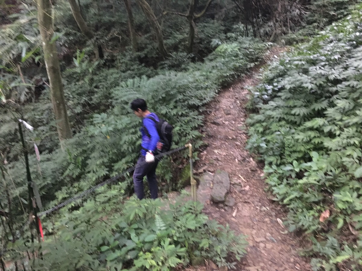
Other: you might want gloves for the ropes sections, we took them because we already had them but I wouldn’t say that it’s essential on this one.
GPX file available here on Outdoor Active. (Account needed, but the free one works just fine.)
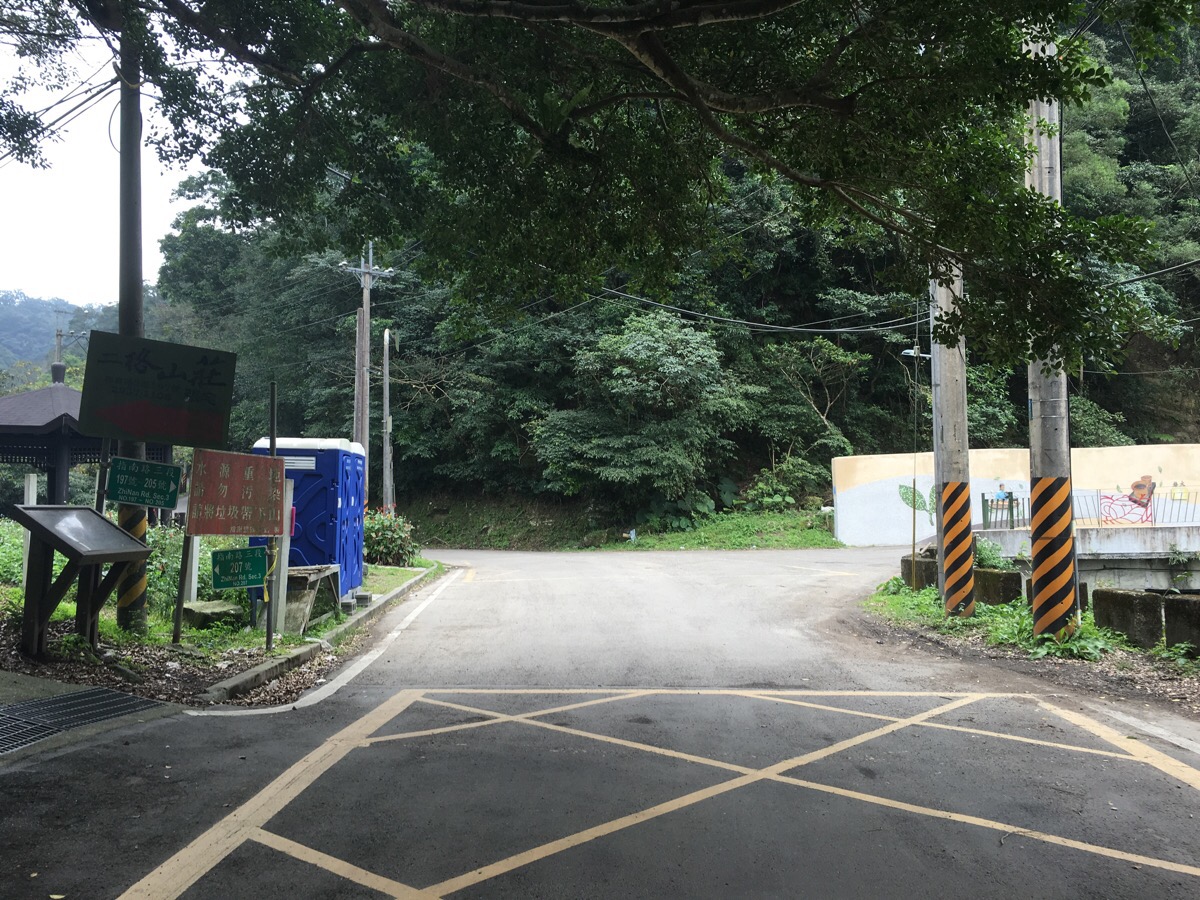
We parked in the shade of Caonan Banyan and made use of the portaloos before beginning. We followed the road to the right past a wall decorated with pictures of teapots and tea leaves and a small house that seems to have been built in the American prairie style. If you keep going straight the road quickly becomes a track.
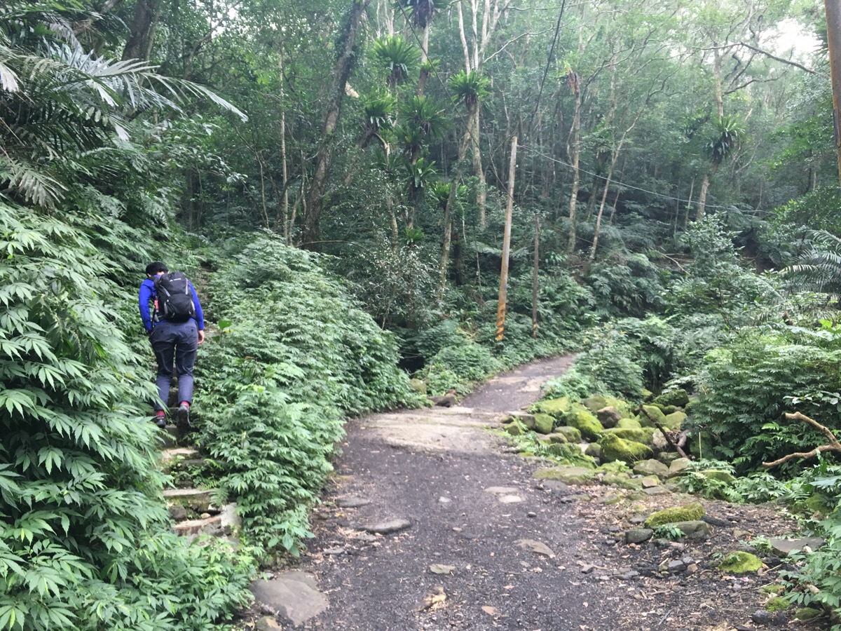
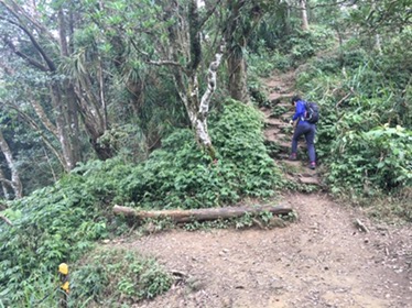
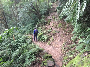
Not long after changing from road to track there is a turn up some steps, it’s (barely) signposted with a couple of metal sign markers nailed to an telegraph pole saying 往二格山/to erge shan. This next 25 minute section is all climb and it’s the toughest part of the walk. Ropes have been provided but they’re loose and poorly maintained so we didn’t rely on them too much. It’s possible to extend the walk a little by going straight as these people did, (the post is in Chinese but the pictures are clear enough).
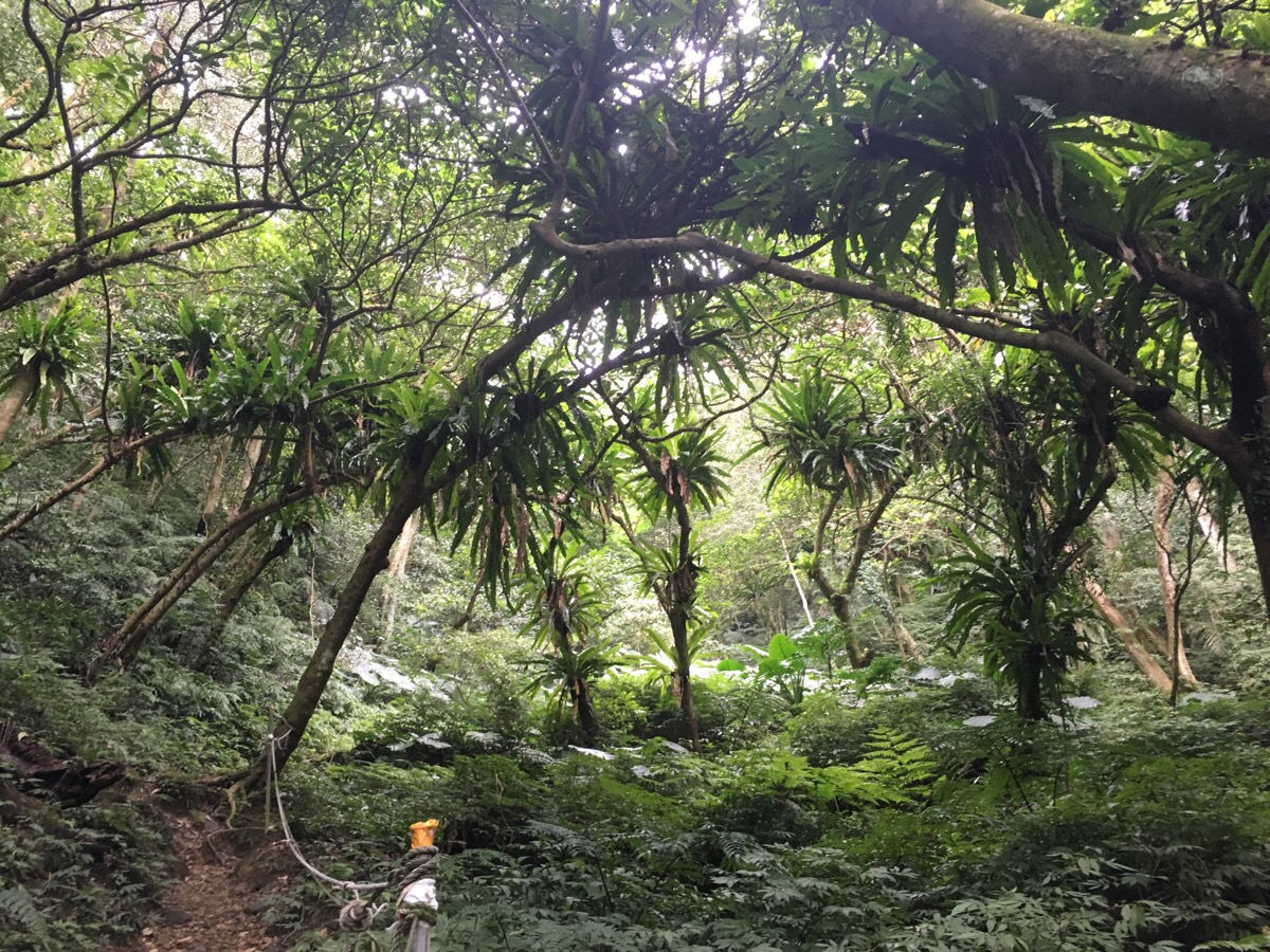
On the walk up we were watched by flocks of vaguely menacing birds nest ferns which had colonised most of the overhead branches, the angle of the trees only seemed to emphasise the ferns’ malevolence.
The path climbs up to a ridge where there is an unmarked junction. We turned left and carried on climbing up. From here to erge shan most of the walk is on a wooded ridge with no junctions, no turn-offs. A little less than 10 minutes from the junction we reached nanbangliao, it’s not a particularly noteworthy peak, the summit is a couple of metres off the main trail – it has a trig point and a sign but no view to speak of.
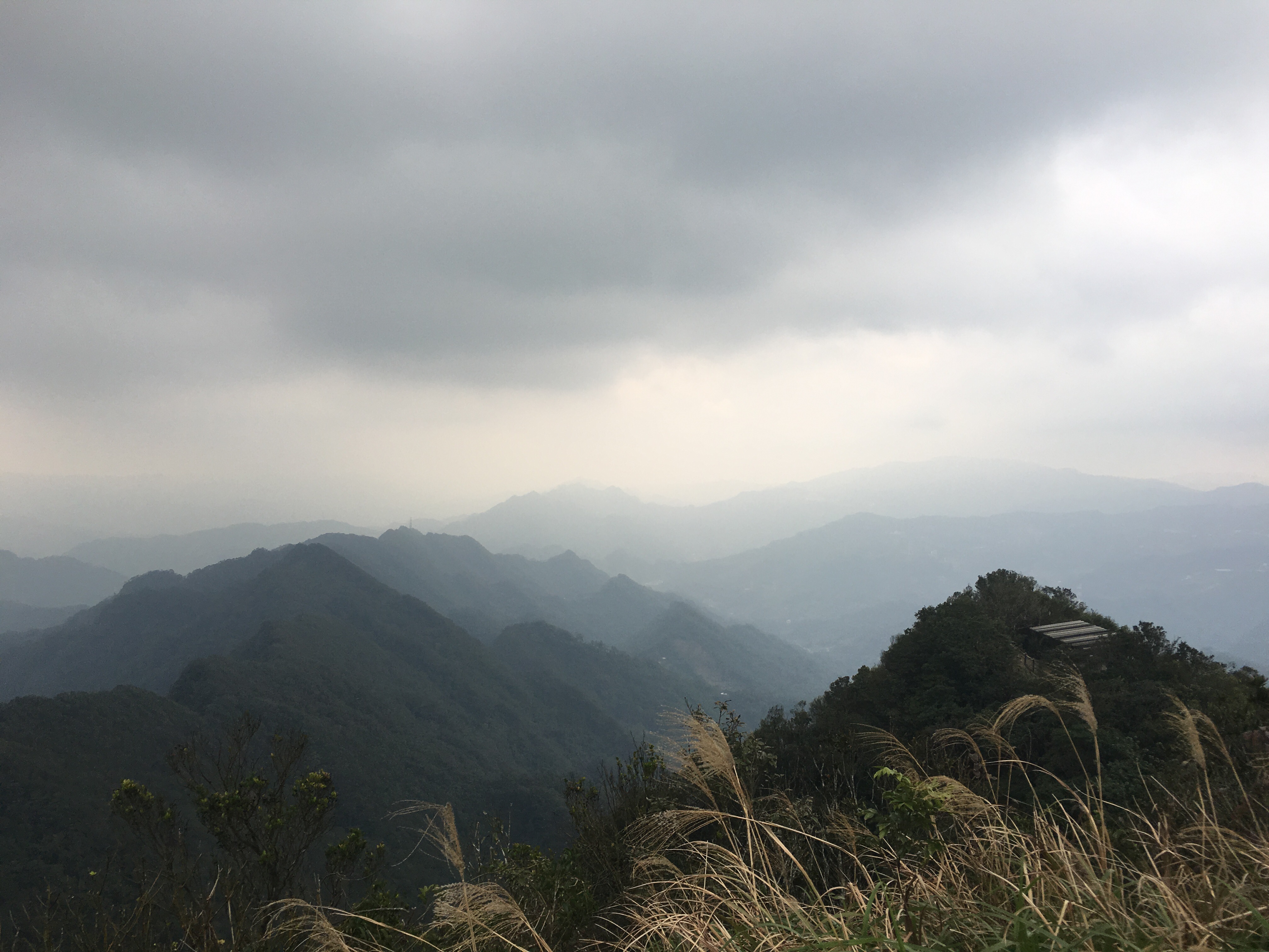
Following the path as it winds up and down across the ridge, we wventually arrived at erge shan. Again, the peak itself was nothing special, the trig point was almost entirely hidden by the viewing platform but the platform offered some good sights. We stopped a while here to watch another hiking group feed a squirrel and admire the (hazy), expansive views – to the south it was possible to glimpse fei-ts’ui reservoir / 翡翠水庫 and to the north it was just about possible to make out Taipei 101 lurking in the haze way beyond Shenkeng.
We left the top of erge shan and went down the steps at the junction we turned left and went downhill towards the 3rd trail entrance (Teresa is going straight on it the photo but that’s because we retraced our steps and took the path down after we went up to have a look at the view from the other shelter).
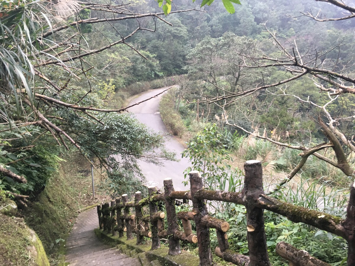
We followed the steps all the way down to the road and then turned left towards bija mountain trail – the road curves for a very short time before terminating at a map.
Where the road finishes there are three trails – the bija ridge walk goes right, left and up which goes back to erge shan and then down and left towards houshanyue / 猴山岳. We went down and left.
A couple of minutes later we reached the last signposted junction, the steps on the right go towards houshanyue but we went down and left again towards cao-nan big banyan / 草湳大.
The next section is pretty slippery underfoot, nothing too bad if you’re used to Taiwan trails but if you’re not you might want to pay more attention to where you put your feet. When we came to an unmarked fork in the road we followed the ‘keep going left’ rule of circluar walks and headed down.
Same again at the next one, left and down. From this point it was a short five minutes until we reached the road, the last flight of steps had a few subsidence problems and had partially collapsed into the stream but the inner edge was still fine to walk on.
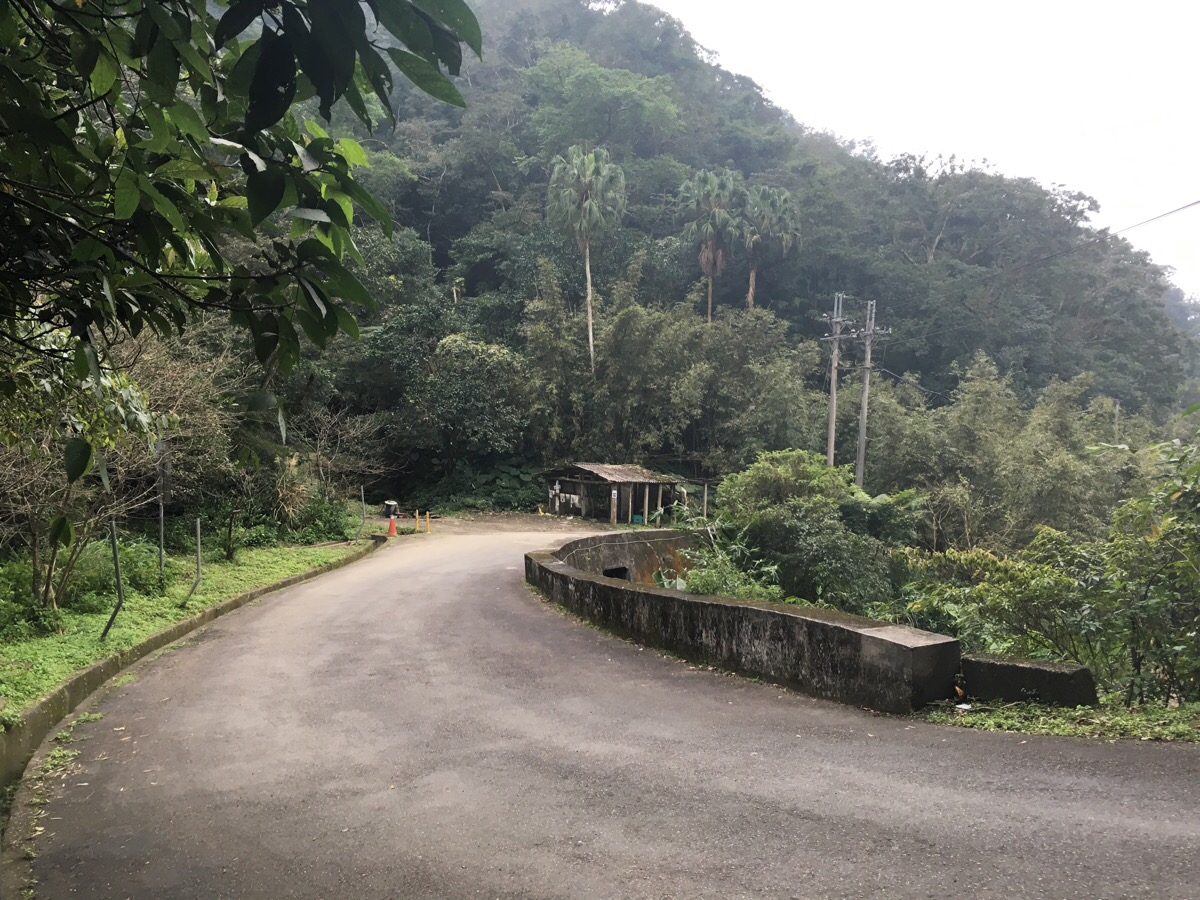
The final 15 minutes of the walk were downhill on a quiet backroad. All the way down we kept hearing the bang sound of what could have been a bird scarer or some type of explosive coming from one of the farms.
How to get there
Google maps address: cao-nan big banyan, near No. 195, Section 3, Zhinan Rd, Wenshan District, Taipei City, 116
GPS location: N24 58.200 E121 36.517
Public transport: the cheapest option is to get the brown line shuttle bus BR15 from Taipei Zoo station (it runs between this station and Maokong), get off at Cao Nan and then walk the remaining 400m up the road – this should take about 45 minutes. Google maps has an interesting alternative which involves taking the Maokong gondola from Taipei Zoo station to Zhinan Temple station and then a bus from there. It doubles the travel time but it might add another interesting activity to your day.
My new words learnt on this hike were:
- 烙賽 / làosài / diarrhoea
- 衝去 / chōng qù / rush, or quick to go
- 你把你自己藏起來 / nǐ bǎ nǐ zìjǐ cáng qǐlái / you make yourself to hide is the Chinglish translation but it it means that you hide yourself, I learnt the phrase 藏起來 a little while ago but have struggled to use it correctly, it’s not possible to directly translate the English, ‘you are hiding’, since the Chinese is more about the action (to hide) than the state (hidden) – at least that’s how I think I understand it now.
- 你有兩塊肉 / nǐ yǒu liǎng kuài ròu / directly translated this means ‘you have two pieces of meat’ but it could be more correctly translated as the Mandarin equivalent of telling someone they have love handles. I learnt this charming phrase thanks to a man who was hiking in the company of four women and for some reason (I didn’t hear the rest of the conversation), decided to tell one of them this just as they came within earshot.
- 自言自語 / zì yán zì yǔ / talk to oneself
- 我沒有那麼壯 / wǒ méiyǒu na me zhuàng / not so strong, not that strong, not strong enough…I’m not sure about this one.
- 槍 / qiāng / gun
