
Distance: 1.6km
Time: it took 50 minutes to get down and about an hour to walk back up. We spent about an hour and a half at the water so from starting the walk until getting back in the car it was about 3½ hours.
Difficulty (frequent Taiwan hikers): 4.5/10 – I wouldn’t say it’s easy, but it’s short so the challenging nature never gets too much
Difficulty (new Taiwan hikers) : 8.5/10 – this is as challenging as Wuliaojian but a lot shorter. The last 20 minutes down to the water are especially difficult as you’re traversing the sleep side of a valley.
Water: if you’re spending a while here you’ll need plenty of water. I took about 1L for a shortish afternoon stay and I used it all, the ascent in particular caused me to need more water. Other people were drinking the river water as it is apparently extremely clean but I think I’d still want to boil it first.
Shade: pretty shaded, whilst travelling the trees will keep you covered and once you’re at the water, the steep sides of the valley offer plenty of shade.
Mobile network: on and off, mostly off. Enjoy the quietness.
Enjoyment: An exciting hike with plentiful, sulphuric hot water at the bottom, nothing could make this any better.
Other: This is a hot spring walk so make sure you bring what you need in the way of dry clothes and towels – there’s nowhere sheltered to change though so be prepared to get personal with whoever else happens to be there. In addition to that you would be better off bringing walking gloves as there are a lot of ropes and tree routes to grab, and it’s worth considering taking some kind of water shoes if you have them – the rocks in the river are slippery underfoot and the water is too deep and fast flowing to see where you’re putting your feet.
GPX file available here on Outdoor Active. (Account needed, but the free one works just fine.)
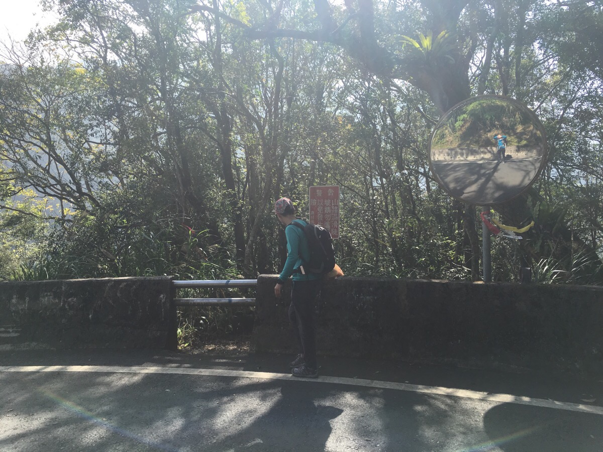
The trail to sileng hotspring starts next to the road marker 58.5 and a sign warning that the path is slippery and you probably shouldn’t go that way. A little while ago I wrote about Qrahu hotspring (which isn’t all that far from here) and I said that although it was a lovely place I would have enjoyed the whole day more if the hike felt a little wilder… Well, it seems that with Sileng, Taiwan has provided the answer to my unecessarily picky demands. If you feel daunted by the start of this trail then it might not be the right hike for you – the walk down to the water is short but it’s really tricky, in places it’s a very steep scramble so I guess it’s a good thing that a few of the more nervous walkers might be put off by the signs.
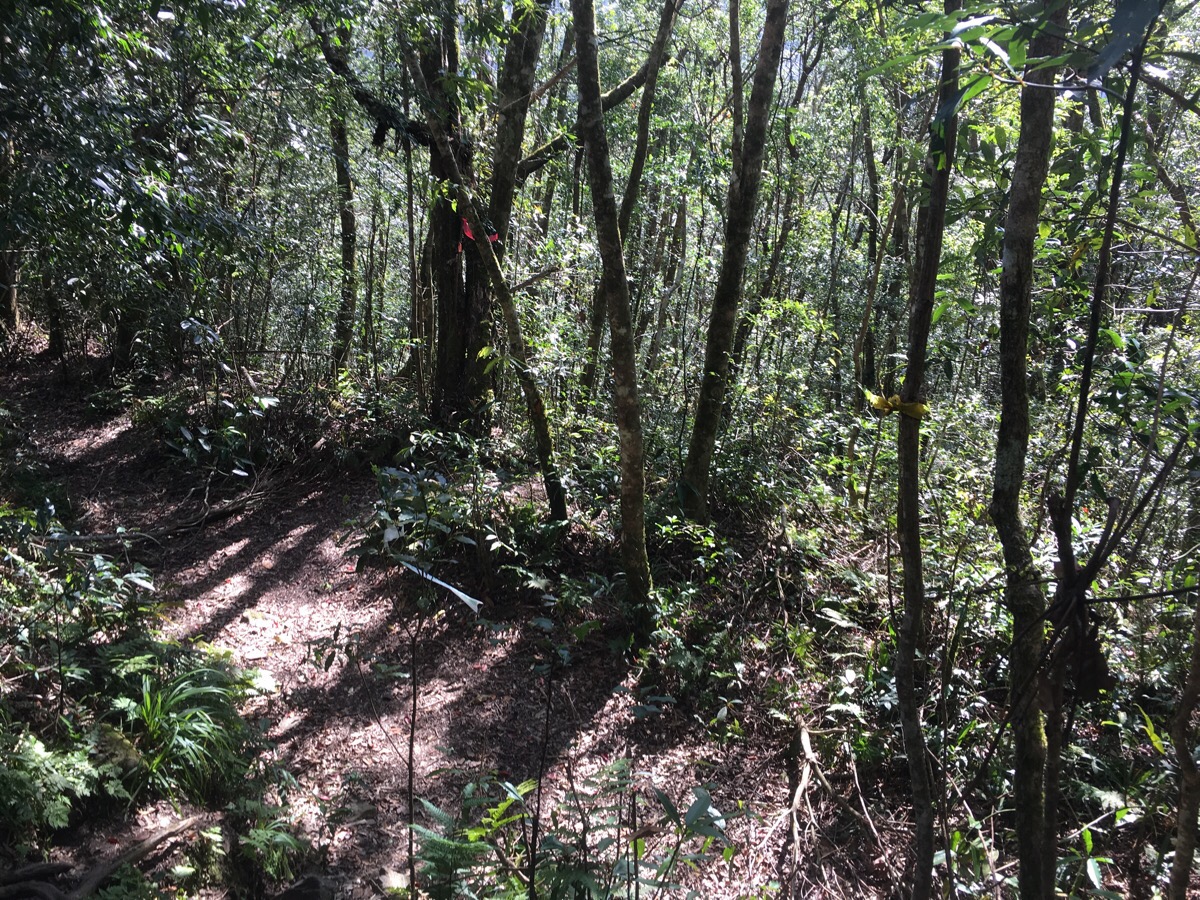
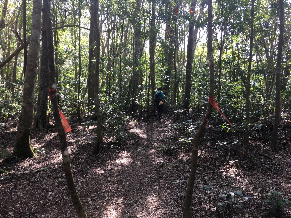
When we were just starting our walk we met a couple returning from the hotspring who said that we just needed to ‘keep going straight and ignore all the side paths’. Their advice was generally good – ‘straight’ wasn’t exactly straight but there aren’t too many places you can go wrong if you have a feel for Taiwan hiking and follow the trail markers. At the first kind of junction (in the picture above) you go across the path and down between markers tied to the trees.
A little further down we reached the first of two clearings where it seemed like people had camped. Again we went straight across the clearing down the path on the opposite side.
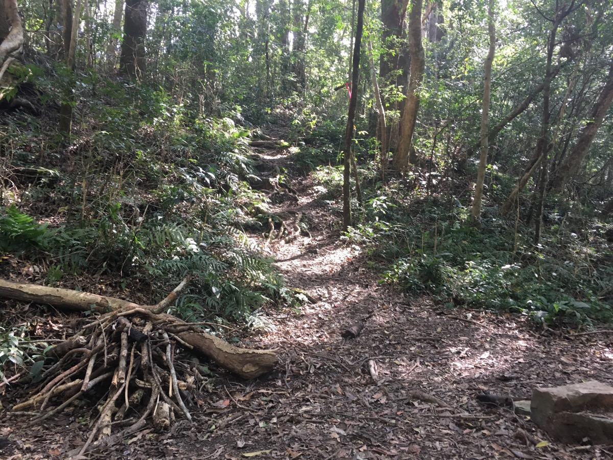
This next section was the least defined and therefore hardest to navigate. There were a few places where people had made multiple paths, or where an old path had been abandoned but again, stick to the markers and keep going.
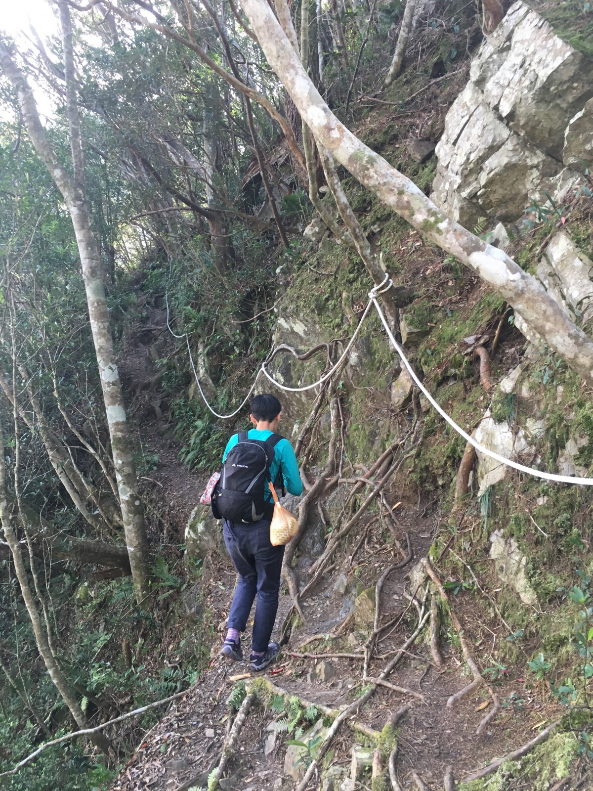
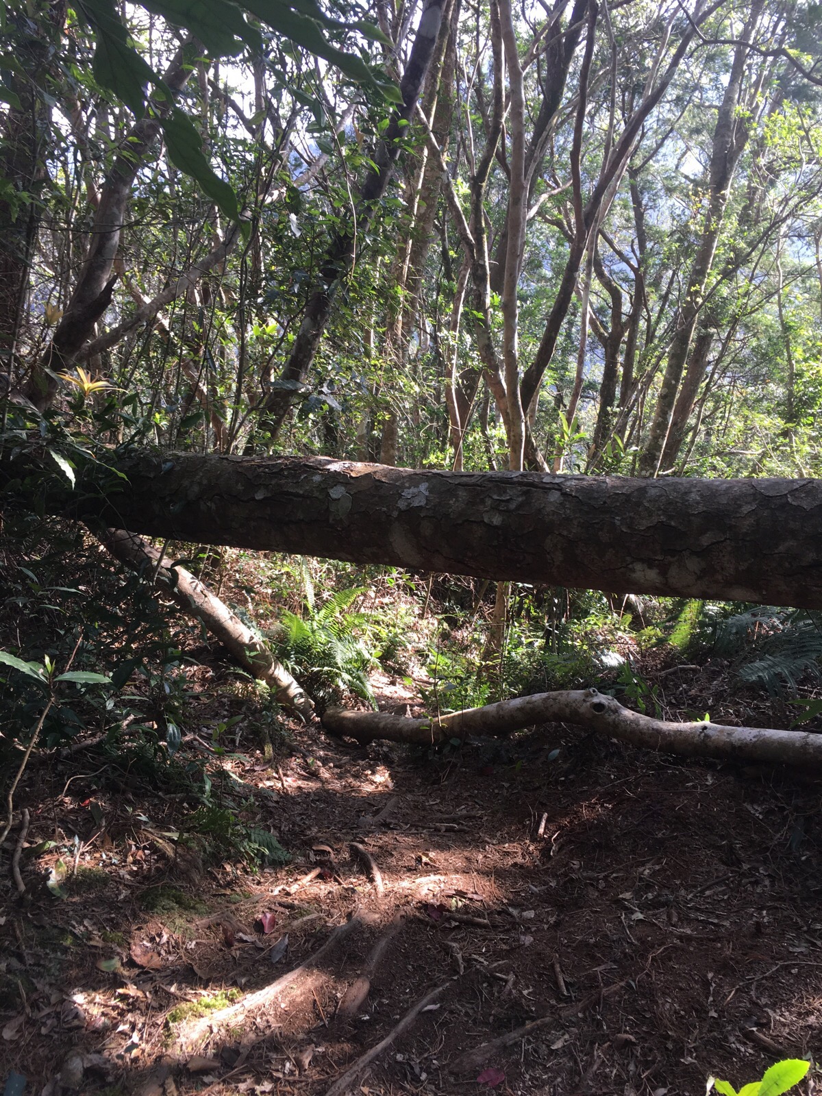
There were a few roped sections between the two campsites but this short part along the base of a small, rocky outcrop seemed perilously eroded. In fact, on the return leg of the journey it was easy to see just how much of this walk is done on earth that sits on an overhang or is relying entirely on the root systems of the surrounding trees not to collapse and slide down into the valley.
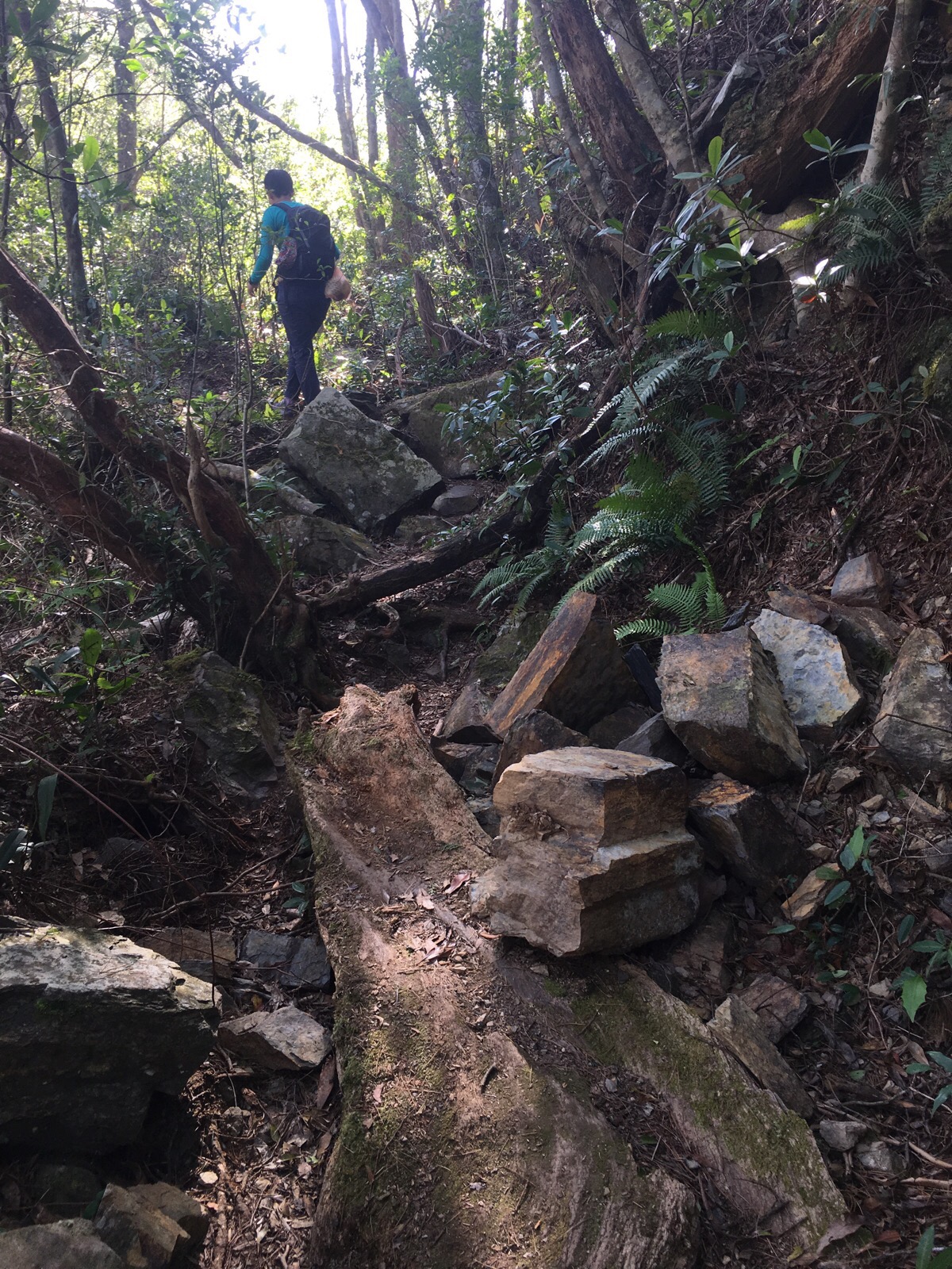
Just beyond the roped part in the previous photo there was evidence of a not-so-long-ago rock fall with large chunks of rock covering the path.
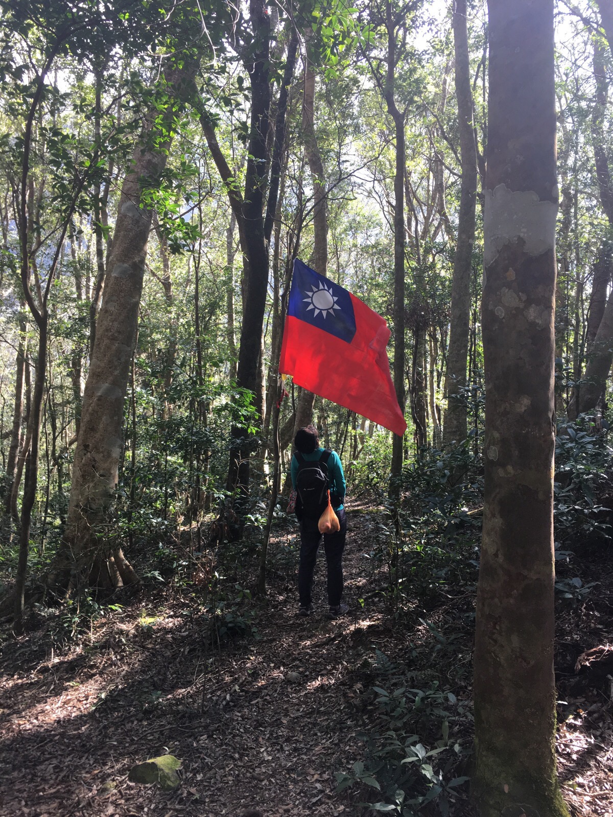
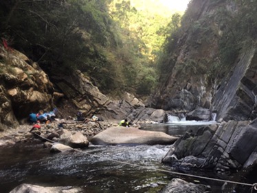
Twenty minutes after we started walking we arrived at a second, larger campsite with a very big Taiwanese flag.
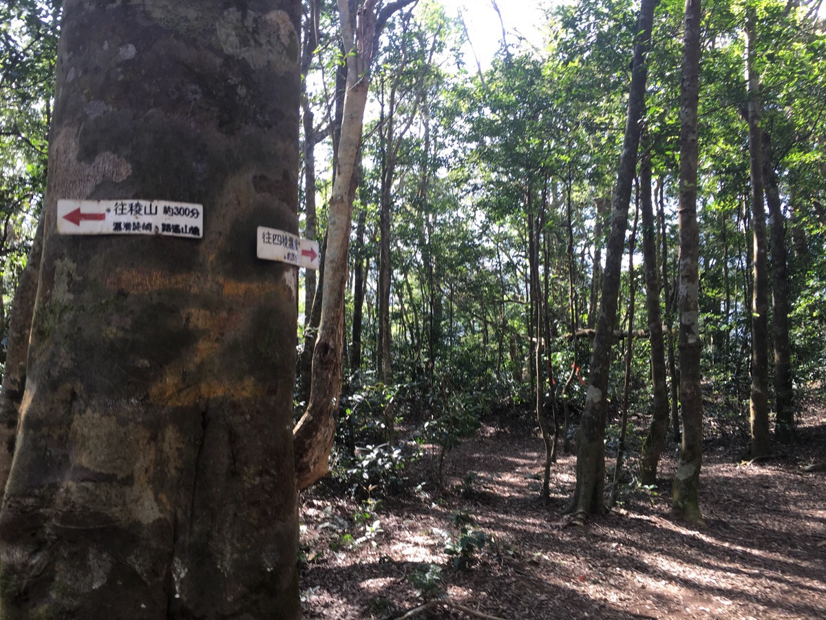
At the campsite the way is signposted to 稜山/Leng mountain, left, 300 minutes and to 四稜溫泉/Sileng hotspring, right, 30 minutes.
The path to the river leaves the campsite through a ‘gate’ made of red tags on two trees. From here the path gets a lot easier to find and follow but a whole lot more challenging to traverse.
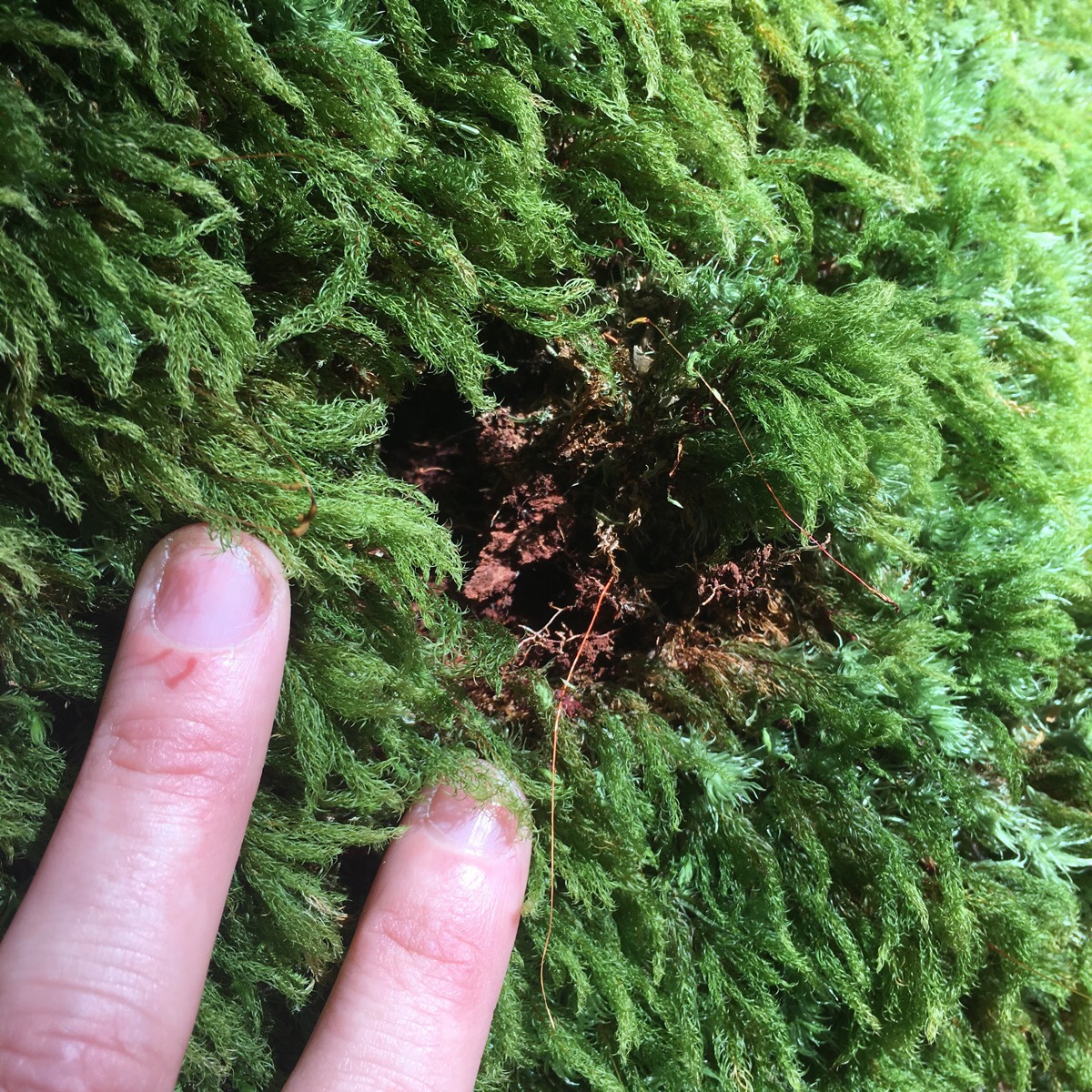
The forest here is a little different to the types of forest that I’ve done most of my Taiwan hiking in so far. I guess it’s due to the higher altitude and different climate in this area. The foliage is a lot sparser on the forest floor, it feels more open and giant trees form the canopy high overhead. It seems older, with multiple layers of life growing one upon the other. Decaying trees that must have fallen down years ago providing nutrients for so many different mosses – clean air and shade provide the right conditions for lichen to grow over rocks and trunks.
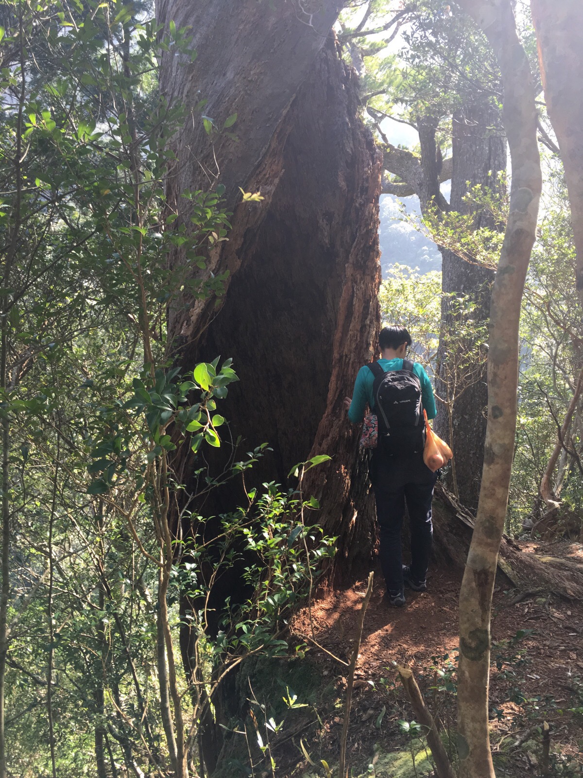
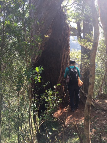
This massive hollowed out twist of a tree was the skeleton stump of a colossus. Perched right on the edge of a ridge it was possible to see where the rest of the tree had fallen. Beyond this tree the sound of the river became audible and got steadily louder as we made our way down.
The final 20 minutes of the descent were the sort of thing that makes you feel tired at the prospect of going up even before you’ve gone down. It wasn’t quite vertical but it really wasn’t far off of that. It’s a real scramble down using tree trunks, ropes and rocks to control your progress.
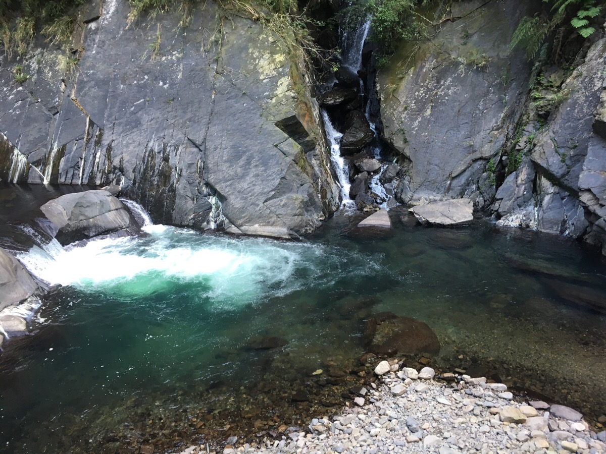
The sight that greeted us as our reward for our efforts was this beautifully clear pool, the water coloured by the energy of the small waterfall. The route down to the shore is a rock face with a rope in a cleft in the side of the valley. When we arrived, there was a group of three younger men (one of whom was enjoying the hotspring in his birthday suit until we inconvenienced him) and one older guy, three of them were in the hotspring and the other had been tasked with collecting firewood. Since the pool here is pretty small we waited a while and talked to the guy collecting wood, he said that they were a river tracing group and that they’d arrived at the pool at 11am after a two-hour walk upstream. He said that they were on an overnight trip and would be spending the night on the small beach. He also said that the older guy who was with them had already been in the hotspring for two hours and would likely stay there all day, (I’m pretty sure this is not good for your health).
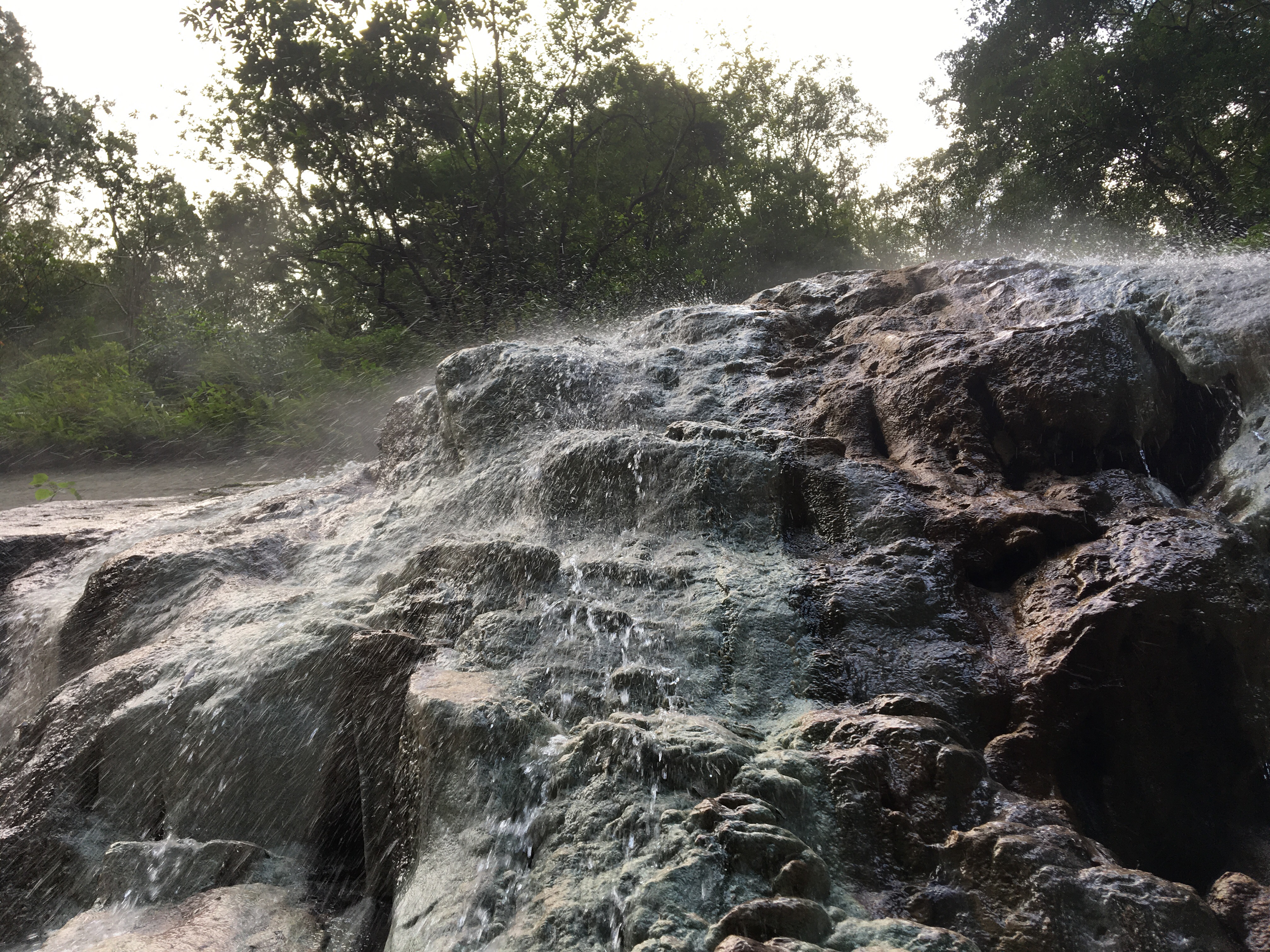
The two younger men got out of the hot spring to help prepare food and we were able to take our turn in the water. To get there you have to cross the river using a rope to stop you being carried off by the strong current. The river tracers told us that the water level was low but even so I was up to my waist in the deepest section, and I was very glad to be wearing shoes with good grip. After reaching the other side of the river we found the older guy laying on his back somewhat like a dead frog in one of the side pools and up close we could see that his hands and feet had been in the water so long that they had turned completely white. The water cascades down the rock face creating the fascinating sensation of warm rain and the pool is deliciously hot – so hot in fact that even (hot water loving) me had to alternate hot with cold, taking occasional dips in the tadpole-filled mountain river to cool off.
By the time we were ready to leave the young river tracers had finished cooking their dinner and were eating whilst their mentor continued to cook himself. They very discreetly turned their backs to us and talked amongst themselves when they realised we were about to strip off and change clothes, it wouldn’t have bothered me if they hadn’t done that but it was a polite guesture to make sure that we felt comfortable. The walk up to the car started off feeling tricky with our softened hands and water-soothed muscles not quite wanting to get back in gear but the excitement of the climb quickly took over and we got back sooner than we’d expected. As I write this the day after, the muscles in my thighs are reminding me of just how hard they worked to get me back up the hill – I think I could do with a hot spring to ease them a little.
How to get to Siling hot spring
Google maps address: marker 58.5 1 號, Datong Township, Taoyuan City, 267
GPS address: N24 38.721 E121 26.116
Public transport: not so easy, there’s almost no public transport up here.
My new words learnt on this hike:
- 露營 / lùyíng / camping
- 我發誓 / wǒ fāshì / I swear
- 作弊 / zuòbì / cheat (like in an exam)
- 泡(溫泉) / pào (wēnquán) / get into/take/have (a hotspring) – it can be used with ‘bath’ too but not ‘shower’.
