Distance: 8.9km
Time: 6 hours and 40 minutes with only a couple of short breaks.
Difficulty (new Taiwan hiker): 4-6/10 – depending on your fitness level and energy on the day, lots of elevation gain and steep slopes.
Difficulty (new Taiwan hiker): 9/10 – apart from a couple of short, flatter sections this is up and down the whole way and the gradient is steep. Added to that are the distance, danger and low visitor numbers, all of which contribute to the difficulty or risk.
Water: 1.5L – my needs got greater as the walk wore on and I drained the rest of the bottle in the car.
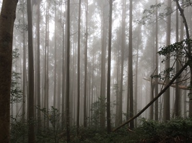
Shade: mostly shaded
Mobile network: on and off – don’t rely on it.
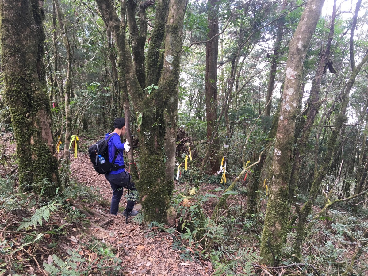
Enjoymemt: I loved it. This is the sort of walk which demands your attention at every step, tree roots fashion tripwires to snag carelessly placed feet, loose rocks make the ascent hard and the descent even harder, in places the earth beneath your feet is literally just 40cm thick and held together by trees and the rocks and trees you need to cling to are themselves precariously balanced on the edge of a vertical drop – people have put up signs and markers in an effort to tame the mountain, but this place will take you on its own terms and must be respected. Finding the route is not really an issue though, it’s mostly well sign-posted where it needs to be (as long as you can recognise the Chinese characters).
Other: gloves are a necessity here – without them you’ll get blisters from the ropes. Most people also had a walking pole (or two), I experimented with using one but it just wasn’t as useful as having four direct points of contact with the ground, (I half crawl up this type of surface in the most undignified manor). Also, if you’re walking this far it is likely that you’re going to need to go to the toilet at some point, I hate to be preachy but please, please, please do your toileting in a way which doesn’t leave a mess for others to come across. There were so many areas where we saw little clumps of white tissue paper littering the forest floor and it made me angry – this isn’t an easy hike for casual leisure-hikers, this type of walk is only likely to be done by people who have already spent a lot of time hiking and as such should better know how to deal with the number ones and number twos thing.

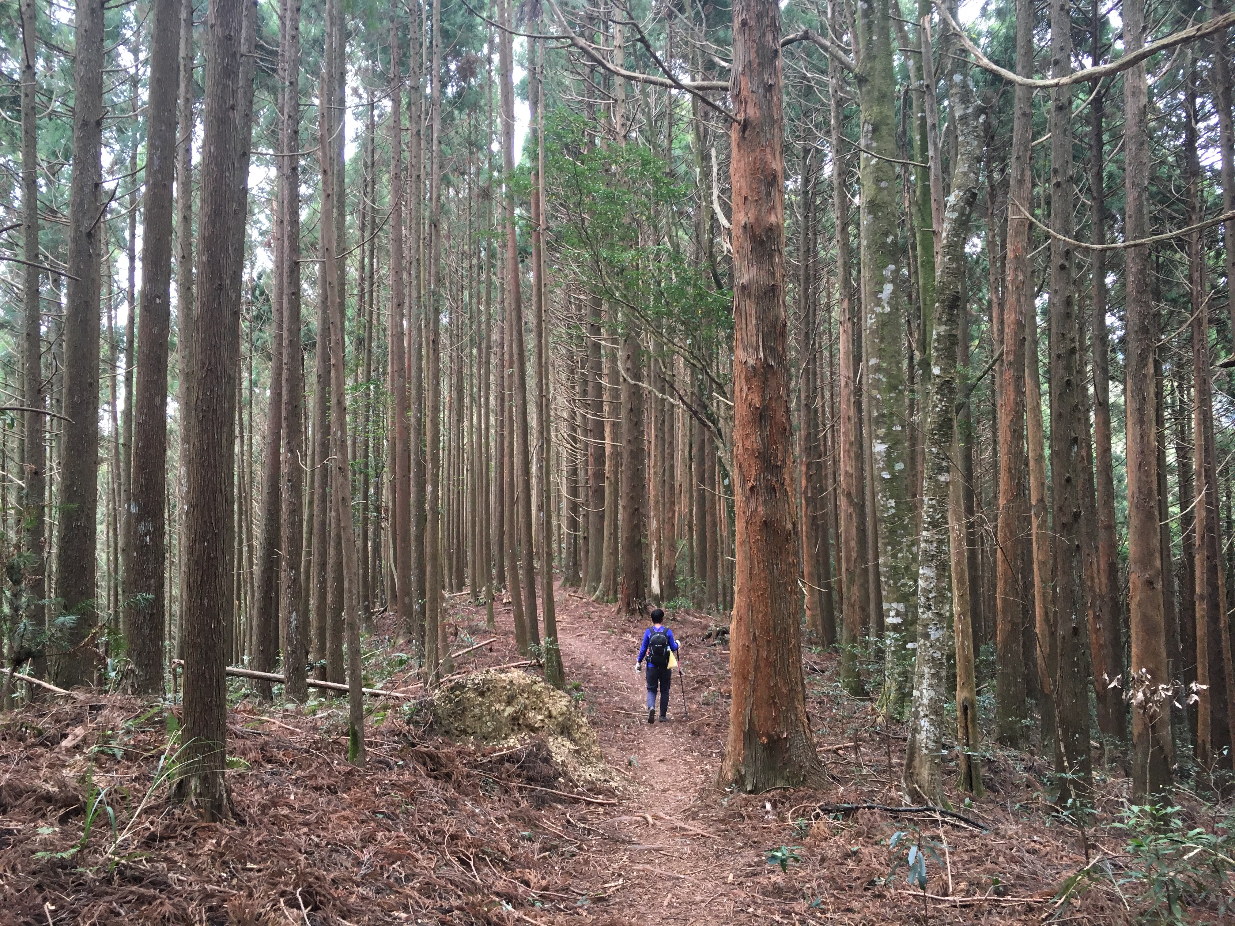
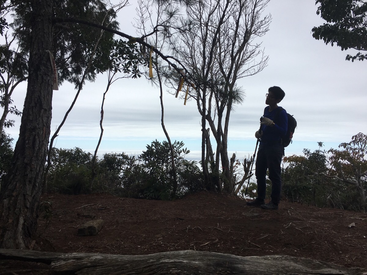
We arrived at around 8.50am which was pretty good going as we almost bailed on this one – it was the third longer walk we did during the new year holiday, we had both struggled to get to sleep the night before, so when my alarm went off at five I wasn’t feeling well rested enough to face getting up and so I turned it off, we jointly decided to have a rest day and went back to sleep. But one hour later my body had other ideas and decided it was ready to wake up, Teresa was the same so we did some quick calculations, realised that we’d still be able to complete everything in daylight (with time to spare) as long as we went straight away so we reverted to the original plan. When we arrived there was another group of three already out of their car and gearing up to go – they got a five minute head start on us and when it was our turn to set off we could hear their voices being carried through the forest giving us some clue as to how high we’d shortly be climbing. The start of the trail goes up away from a forest track – it’s easy to see where you’re meant to be heading, it’s the one covered in plastic tags.
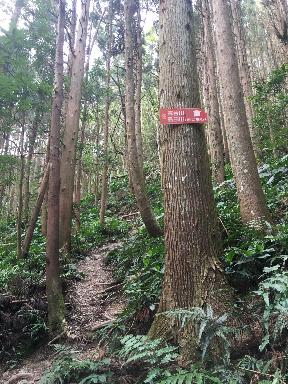
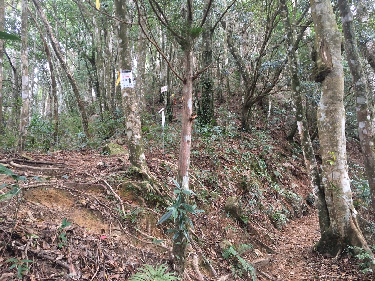
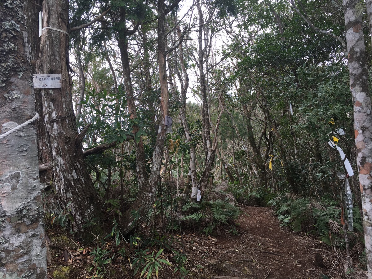
The trail very quickly gives you a hint of what to expect by shooting off up over loose, gravelly surfaces which threaten to spit you sliding back down on your behind if you take so much as one step without paying attention to where you’re going. There are ropes which I used to prevent myself from slipping. About five minutes in there’s a junction with two red signs (all the relevant direction signs for this trail are red), the one on the right says ‘to 那羅產道第二登山口 – 2 minutes and to 柿山大橋 (2 minutes to the second trailhead for this trail – and to shishan bridge). The sign on the left is the one to follow, it says 往高台山, 島田山, (to gao taishan, dao tianshan). So we went left and kept heading up through the cedars.
At 0.4km there’s a small break in the trees and a hiking group has put up a sign which says that it’s another 50 minutes to gao taishan, (it’s also where the path from the third trail entrance cuts in). From here to gao tai shan the path climbs along a ridge with the eastern slope covered in Japanese cedars and the western slope populated by what I think must be a more natural mix of flora. As well as the usual plastic tags people had been busy carving into the trees to the side of the path – mostly just patterns or characters, but there were also a whole load of penises because why wouldn’t you want to spend your time immortalising your member in wood?
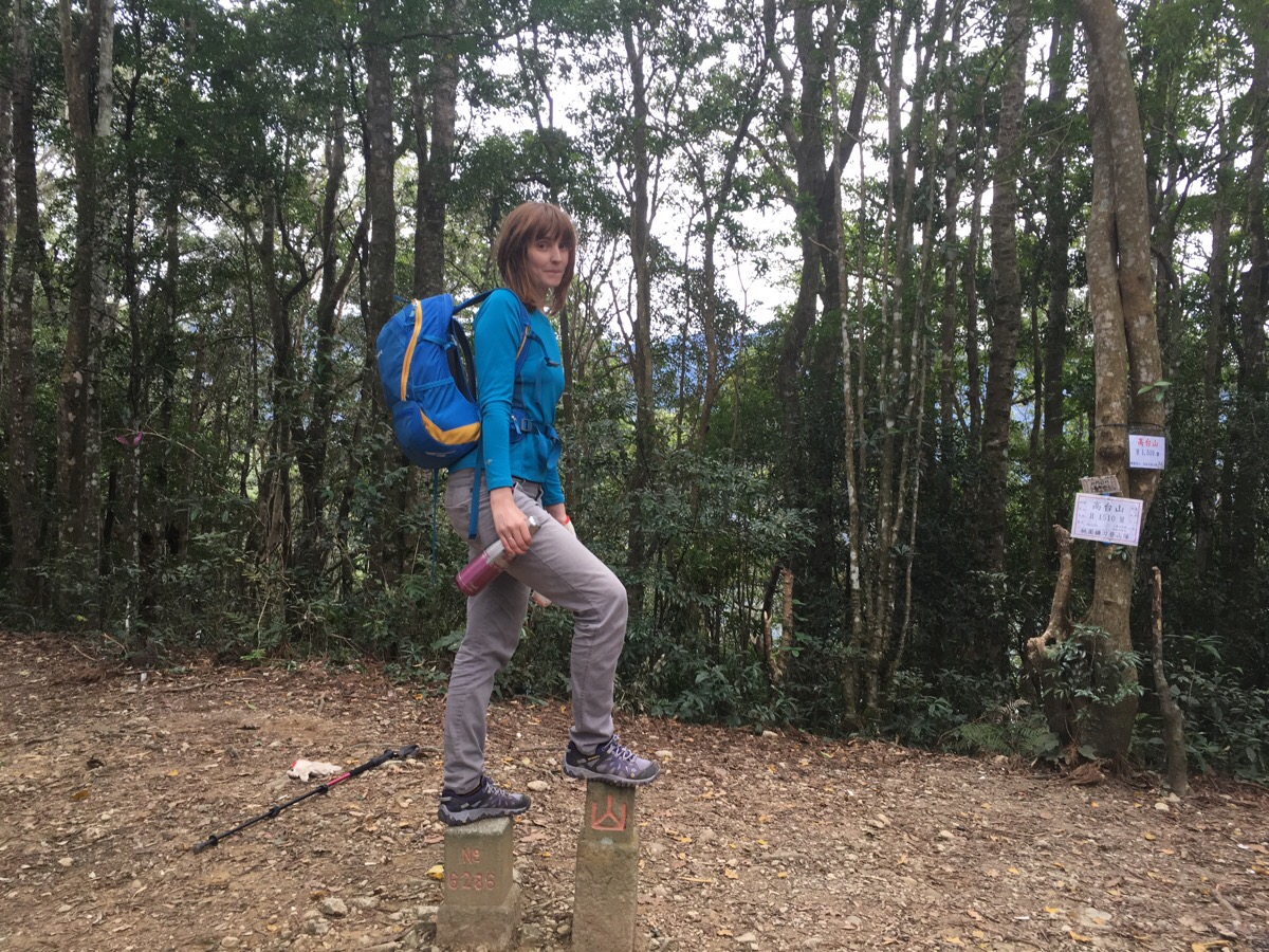
The sign at the last junction had the timings spot on – we arrived at gao taishan almost exactly 50 minutes later – our arrival chasing off the group who’d set off just before us, they had stopped for a break, but the forest swiftly swallowed them up again and we took a little while to rest. Gao taishan’s altitude marker says it’s 1510m above sea level but even though it’s a good 150m higher than the highest mountain back home it’s not all that impressive, a forest clearing with a trig point and signs of campfires. Actually there was a whole load of visible campfire remains all the way around this trail, it was almost disconcerting, so many traces of people who had been before us but we could count the number of other people up there that day on two hands. It wasn’t even as if the fires had been lit in likely campsite locations, they were seemingly at random, mostly with no obvious signs of cooking having taken place.
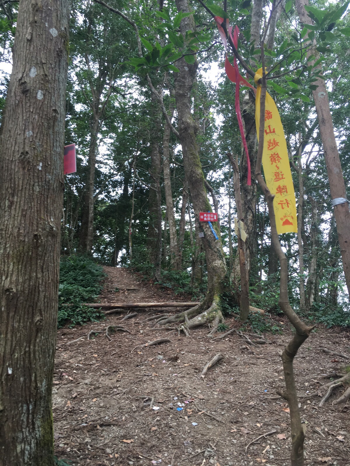
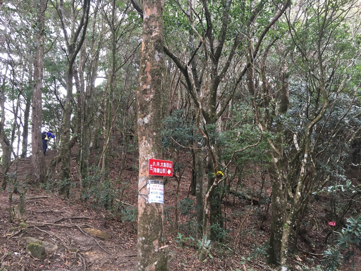
We vacated the clearing just as another pair of hikers started biting at our heels and left them to enjoy the quiet. There are quite a few signs pointing in this direction including ones to 島田山/dao tianshan and 石麻達山/shimada shan. The next 15 minutes were probably the easiest of the whole hike, the path meanders along (mostly) flatish through cedars, which (despite being very tall), looked a good decade or two younger than the cedars we’d encountered two days earlier when we walked to jiali shan. After a short respite the path heads off up again and we got our first real taste of the type of walk this was going to be, the path took us alarmingly close to vertical drops and had us climbing up trees roots where the trunk slanted alarmingly over the edge of a precipice or overhang – just a big shake or gust of wind away from toppling off and down.
As the path starts to climb (20 minutes after leaving gao taishan), there’s a small gap in the trees which gives you a view back towards where you’ve just come but then the leaves covered it up again, giving us only glimpses of the cloud covered valley to our left.
After climbing a mere 90 metres up in about 40 minutes, the path briefly levels into 高島觀景台 (roughly translated it means high island viewing platform – so named for the four mountains of this trail). It seems that the locals had run out of colourful or enigmatic names to give to their mountains when these four peaks were handed titles, the English translations of their Chinese names are something like ‘high mountain’, ‘little island mountain’, ‘middle island mountain’ and ‘big island mountain’ – these names are functional rather than fancy but it doesn’t really matter when the scenery is this grand – they could call it pile of earth and rocks and it would still be worth a visit. There was a noisy hiking group taking a break here so we stopped to take in the view and then pushed on.
Less than five minutes after leaving 高島觀景台 the path splits – this is the start of the loop part. (For an idea of what this looks like on a map you can see the picture on this blog – it’s written in Chinese but the path overlaid on a map of the area gives you a good idea of what to expect.) We went left and continued up to get the tougher part finished first.
For ten minutes the two paths run almost parallel and there’s even a second place where they meet. But we kept on the left-hand, higher path heading up, up, up.
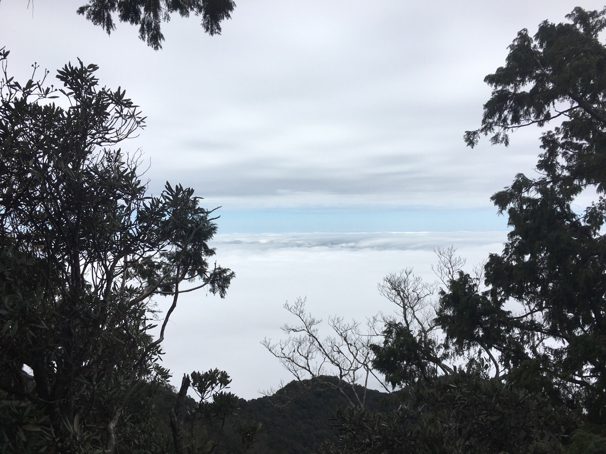
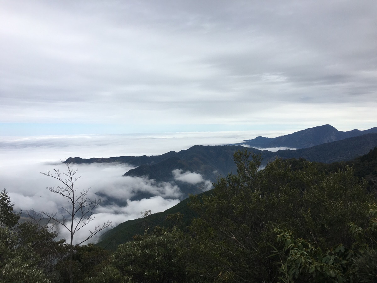
Just as we hit the 3km mark (about 2 and a half hours in) we got to the next rest stop, this one isn’t one of the four peaks but there’s somewhere to sit so we stopped a while. There’s actually another path towards 黑森林峯/black forest peak which disappears off down the far side of the small clearing. With the sea of clouds stretching out below us it was easy to understand how the island mountains got their names – just the peaks of various formations could be seen, we were walking above a second sea level – the world below that unimaginable and of little importance for the moment.
We ignored the sign towards 黑森林峯 and kept going on the path to the three dao tianshans. The first one, 小島田山/little island mountain was quickly reached 3.2km (2 hours and 35 minutes) after starting. The lowest of the three, little island mountain is 1670km up, but it doesn’t really have a view to speak of so I’ve not included a photo here.
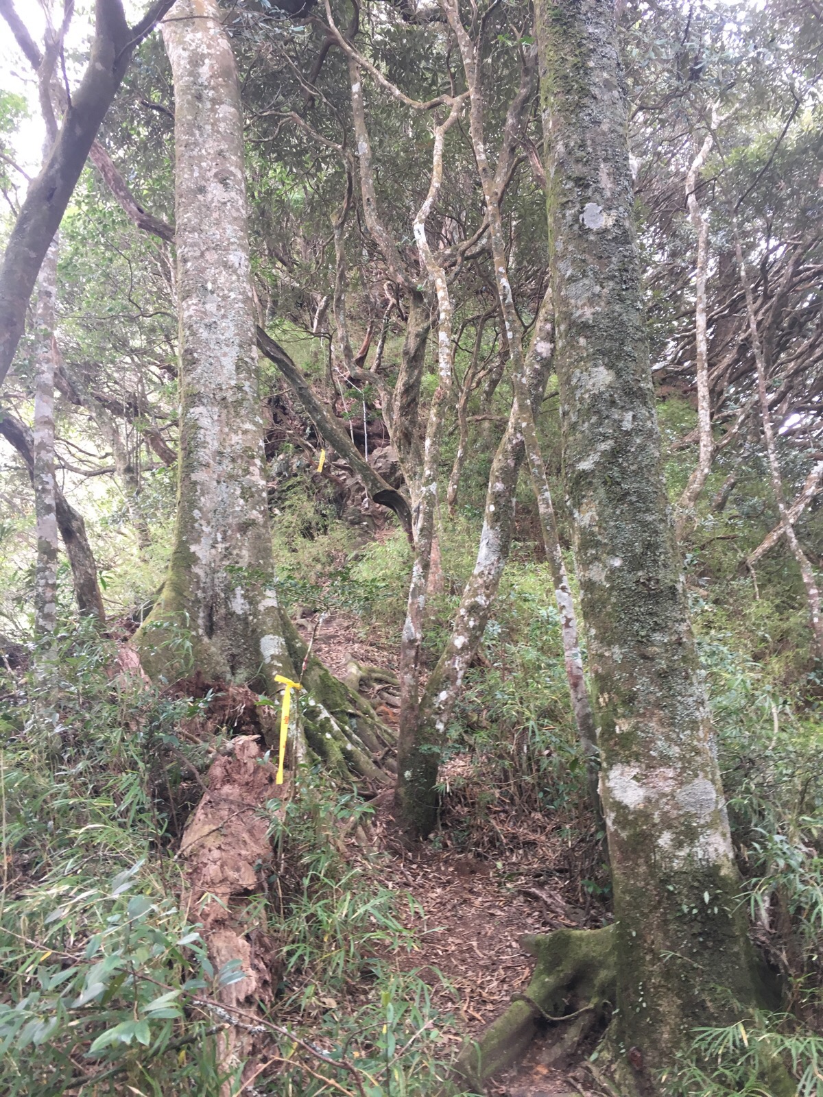
The climb to middle island mountain (1800m above sea level) was one of the strangest (and scariest) I’ve walked here. The trees, which I think are rhododendrons, are all slanted at the most peculiar angles. When I first saw it I assumed it was the prevailing wind, bullying the trees until they conformed but after I’d gone up a few metres I could see that I’d been wrong. Instead, the soft, bouncy leaf litter that makes up the forest floor here combined with shallow roots has led to them all half pulling out of the ground as if they’re straining to reach the shelter of the bigger woods a little downslope. The photo here really doesn’t really doesn’t work to accurately convey the scariness of this section – where the edges of the picture lighten that’s because there is nothing there – the trees just a false sense of security. I found each step terrifying after seeing how apparently easily these trees become uprooted and knowing that I was basically only attached to the mountain by the trees which in turn seemed to barely clinging on. There was one section which all-too-clearly illustrated the precariousness of it all, a climb up a tree’s roots where the tipping had left a gaping soil-cave under the path with just a thin layer of soil and minor roots making up the roof of the cave. Each time I stepped on soft soil I was worried that I was about to put my foot through and find nothing underneath – I kept going forward, more in order to get over the scariness than because I wanted to keep going and before too long we’d reached 中島田山, (1800m), the middle mounatin. Once again we caught up with the group of hikers who’d set off just ahead of us. They expressed surprise at our speed (out of politeness I think rather than because we were actually going that quickly), and chatted a bit about other walks we’ve done in the area. They also told us about the walk they’d done where they kept seeing signs of bears scratched into the trees – I hope we don’t encounter any, I’ve heard that Taiwan’s bears are smaller and not so agressive but I’d be happy never to have to test that out. They packed up their lunch and left is in peace to eat ours and that was the last we saw of them, their car had gone by the time we got back to ours. Playing hiker tag/hide-and-seek we ate lunch quickly and set off down again when we started to here the couple behind us catching up. I found it comforting to know that we weren’t entirely alone up there but at the same time I was keen to maintain the illusion of having it to ourselves – even if only to void the awkwardness of constant leapfrogging.

The downwards slope had a similar proliferation of horizontal trees which provided welcome anchor points to prevent us from going arse-over-tit all the way down and I made sure to thank the trees for their help. Being in this type of large world-above-a-world has the ability to put me back in my place and make me feel small and insignificant in a good way. We can do all the planning we like to walk into this type of landscape but ultimately it’s the boss here.
After the down it’s up again and the forest here feels really old, there are huge trees somehow toughing it out all the way up here, more rhododendrons, some I haven’t yet identified, (I keep thinking that maybe I should find a guidebook to the nature here – I don’t really need to categorise everything but I’m curious about what I see and miss the days of my childhood where I could easily distinguish between most of the trees I’d come across on a walk), and some yews which must be really old, passing them made me wonder just how many people they’ve watched walk by, how much has changed in their lifespan on this island with such a complicated history.
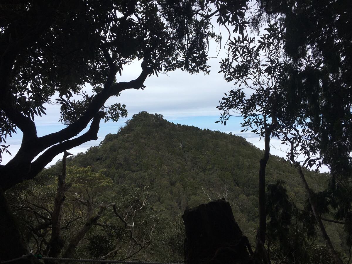
As we neared the third and final island mountain (大島田山), the view behind us opened up and we caught a glimpse of middle island mounatin – sound travels strangely up here and for a while we could hear the couple behind us but they must have been descending because after a while their voices cut off so they either stopped talking or dipped into the valley between the two. At just over 4km (3 hours and 55 minutes), we reached the final peak – this one had a giant old tree (again a yew I think), as its focal point, it was so old that other trees had colonised it in areas where it had died off but it still seemed to be growing – the tree carried the altitude sign – 1824m, although it’s only 24m higher than the previous one, we’d had to do a bit of down-and-upping to get there, (but not as much up and down as it felt – when I checked the altitude profile later on it said that we started off at 1074m with a max altitude of 1800m and a total gain of 927).
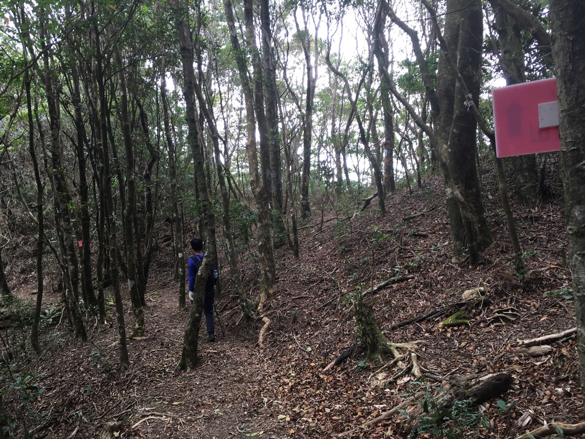
From 大島田山 onwards the going gets somewhat easier as it’s mostly downwards. The path winds downhill to an intersection – the right hand path is the one we needed to take, it’s a short-cut of sorts back to a previous point on the trail and is marked with a whole load of tags as well as a sign saying 高台山/gao taishan. Aparently this used to be an old Japanese guard road – it definitely makes the distance between the two points seem easier but it’s worth not getting lulled into a false sense of ease. The route hugs the side of slope, mountain rising to the right and valley dropping away steeply to the left – you’ve still got to pay attention to where you’re going.
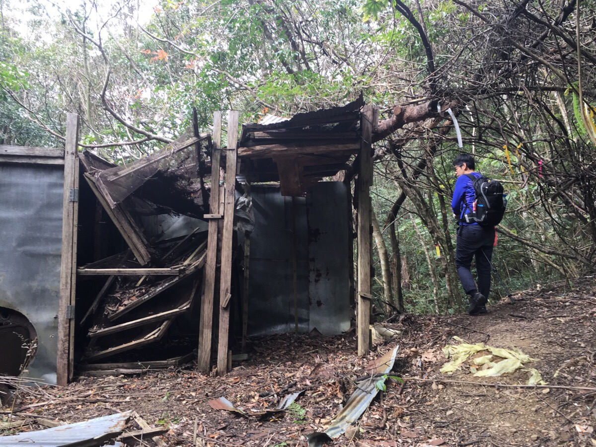
About 15 minutes after turning right we came across this abandoned hut – it doesn’t seem old enough to be from the Japanese colonial era so perhaps it’s from a later logging base – there are a number of huts and shelters off to the left in differing stages of abandonment, one tarp-shelter looked recent enough that we kept peering back, half expecting to find the wild man of the woods watching us go. All these shelters combined with the number of fires made me start to wonder if perhaps the area is used by hunters, (which wouldn’t be impossible given that it’s not all that far from some of the aboriginal villages where hunting is still practised). Shortly after having this thought we caught a glimpse of a male Swinhoe’s pheasant, our tramping through its peace sent it scurrying, white tail bobbing, up and away whilst making a rather endearingly worried-sounding call. It obviously wasn’t too perturbed though as it just put a little bit of distance between us before resuming its foraging. This was the first time I’d seen anything larger than a magpie whilst walking in Taiwan (and the first time Teresa had even heard of this Taiwan-endemic bird), I felt really lucky to have caught a glimpse of this rare and interesting creature.
About 30 minutes after passing the abandoned hut we reached the first point (in this direction) where the trails meet, and a mere 5 minutes later we reached the point at which we’d gone up so we knew we were getting close to 高島觀景台/the viewing platform again. We returned back the same way we’d original came and found a family of three ‘enjoying’ the view from the viewing platform – the mum looked thoroughly miserable and the adult son was bizarrely dressed in jeans, sweatshirt and the type of trainers you wear for style rather than sports – how they made it up to this point was a mystery. Not long after we arrived, the couple who had been trailing us since 高台山 showed up and started stretching in an almost comically show-off way, him topless and them both doing the splits in the middle of the path so that it would have been difficult to pass if we wanted to. We watched them whilst eating our grapes, eventually the family’s silence and the guy half of the couple’s weird boasting (telling his lady friend about the time he had done wuliaojian three times in a day…impressive, but why???), pushed us on but unfortunately the couple were hot on our heels. We kept ahead of them for a while before encountering a weird collection of men huffing their way up, one with bare feet and the others wearing huge biking shoes, they asked about how far it was and seemed unsure about where they wanted to go so we said that the view was only another ten minutes or so up whilst the full walk was a lot further. As we continued our way down we saw the bags that they’d ditched in an effort to make the climb easier and then…
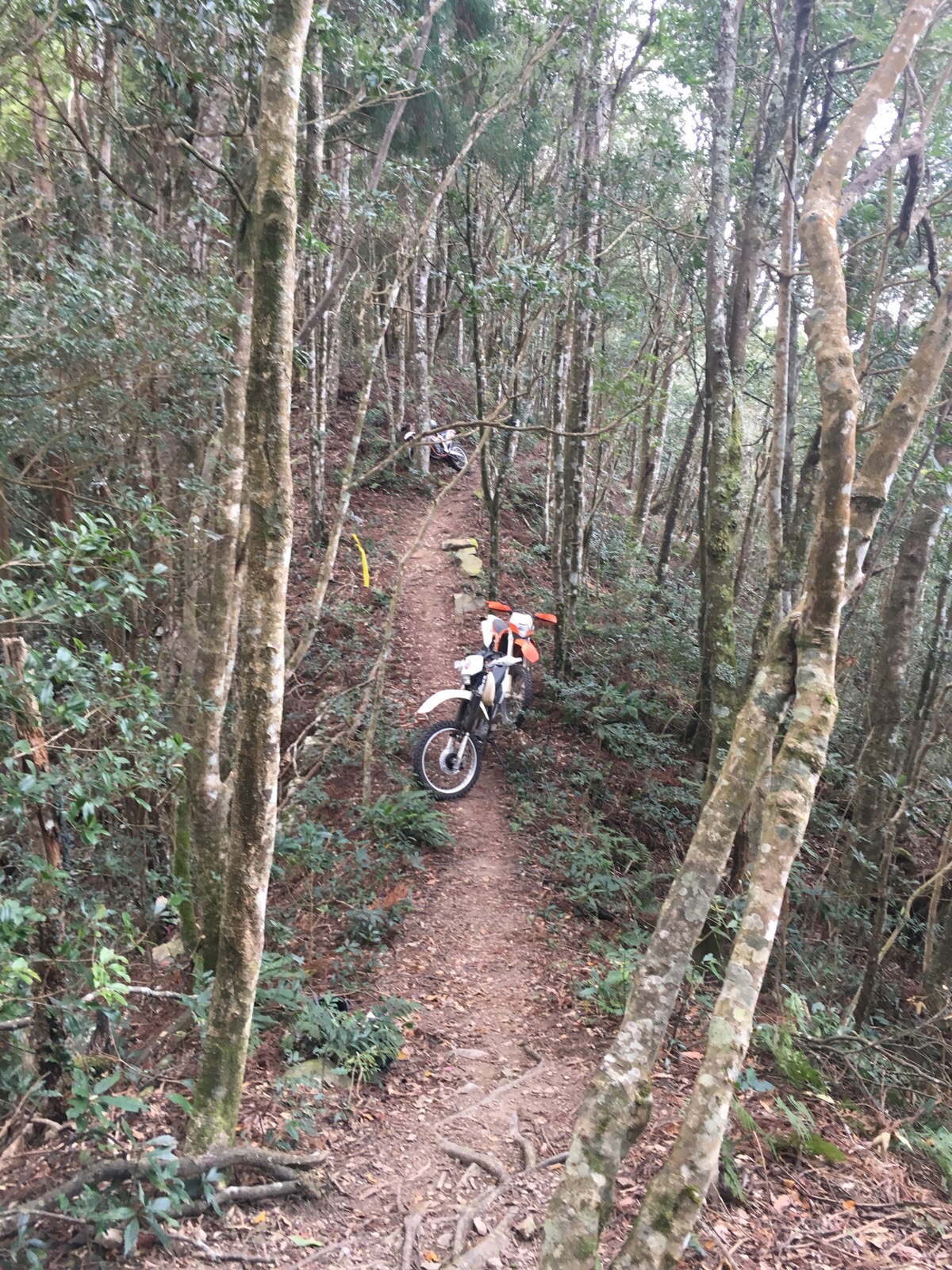
…suddenly the distant growling and rumbling that we’d heard earlier made more sense. It seemed impossible that they’d actually biked their way up here but a couple of minutes after we passed their bikes a growling through the trees announced the arrival of a fourth biker – luckily the sound gave us enough warning to step off to the side because his bike came tearing through the trees in a way which made me think he didn’t much care whether there was anyone else on the path or not. About ten minutes after that, two of them came back in the other direction, ripping up the peace of the trees with their screeching. I think they must have gone a different way down from gao taishan because the path we walked down would have been pretty much impossible for bikes.
As we continued down the clouds came up to meet up (or we went down to them), and for a while it felt like fairyland. The final descent was tough and we were both tired which meant that although we wanted to go quicker we had to pace ourselves to prevent any silly slips. On the last five or ten minutes (from the junction with the third trail exit), the couple behind us caught up and seemed to be making a concerted effort to get past us and finish before we did – they were breathing down our necks in the most irritating fashion (really not what you want on a lose, gravelly slope), until we let them go first and after that they basically kept pace just in front of us all the way down, it seemed they had something to prove and whilst that annoyed the pair of us I wasn’t going to let if dampen the feeling of achievement at having completed the whole thing.
How to get to Gaotai Shan
Google maps address: trail head 1, near 313, Hsinchu County, Jianshi Township, 錦屏村 – there are three entry points for this trail which join up in the first half kilometre or so – the higher ones go through private roads though so we parked at the first one. Also, the road itself is pretty arduous, we were happy to park up and not have to drag the car over more potholes or rough surfaces.
GPS location: N24 39.781 E121 13.617
Public transport: technically it’s possible to get to somewhere near here using public transport, but it would probably be a three day trip if you include the travel time it would require. The closest bus stop is Fuxingkeng, to get there you’d need to take a Neiwan Line train from Hsinchu Station as far as Hesing, Fugui or Neiwan Station then transfer onto the 5625 bus (the bus stops at all three stations). From Fuxingkeng it’s then a two-hour walk up a track to the trailhead. You’d probably want to camp here to make it feasible.
My new words learnt on this hike were:
- 避 / bì / avoid
- 孕 / yùn / pregnant – because when I was trying to say that we were higher than the clouds (比雲 / bǐ yún), I accident said that we were avoiding pregnancy/using contraception – easy mistake to make.
- 組 / zǔ / group
- 隊 / duì / team
- 羽毛 / yǔmáo / feather
- 平 / píng / flat
- 劈腿 / pītuǐ / a dual meaning word, it can mean something like ‘do the splits ‘ or something like ‘have a mistress’, the first character means split or hack or chop and the second means legs – the explanation I got is that a man has to open his legs very wide if he has a mistress…?
