Distance: 3km in total, 1.8km on the trail.
Time: 1¼ hours from Taipei Nangang Exhibition Centre MRT station back to the same station.
Difficulty: 2/10 – There’s no signs but once you’ve got onto the path there’s not really anywhere you can go wrong. Also, the hill is pretty low (90m above sea level according to what the Chinese-language sources on the subject say), so it’s not exactly challenging.
Water: 0.5L – Actually I didn’t really drink anything (it was a cool 16 degrees when I went), but I’d always want to take some with me.
Shade: Patchy—quite a bit of it would probably feel exposed in the summer heat.
Mobile network: No problem
Enjoyment: This walk gets extra points for being doable on a work day, I had a few hours in the afternoon spare after finishing something in Nangang so I was able to get the most out of my time by heading away from people for a while. It also boasts views of Taipei that you rarely get to enjoy without being surrounded by people.
GPX file available here on Outdoor Active. (Account needed, but the free one works just fine.)
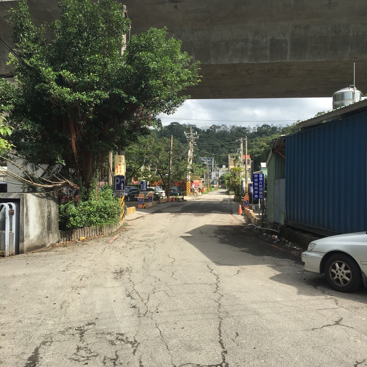
Coming from the MRT station to the start of the trail you have to walk under a big road bridge and past some factory units.
The start of the trail is at the end of a small cul-de-sac on the right which looks more like a private drive – I missed it at first and kept walking up Hengke Road so I had to double-back. It’s not signposted (at least not that I saw), so you actually have to go in a little to find it.
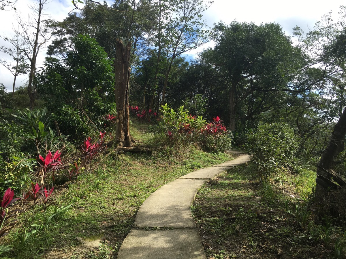
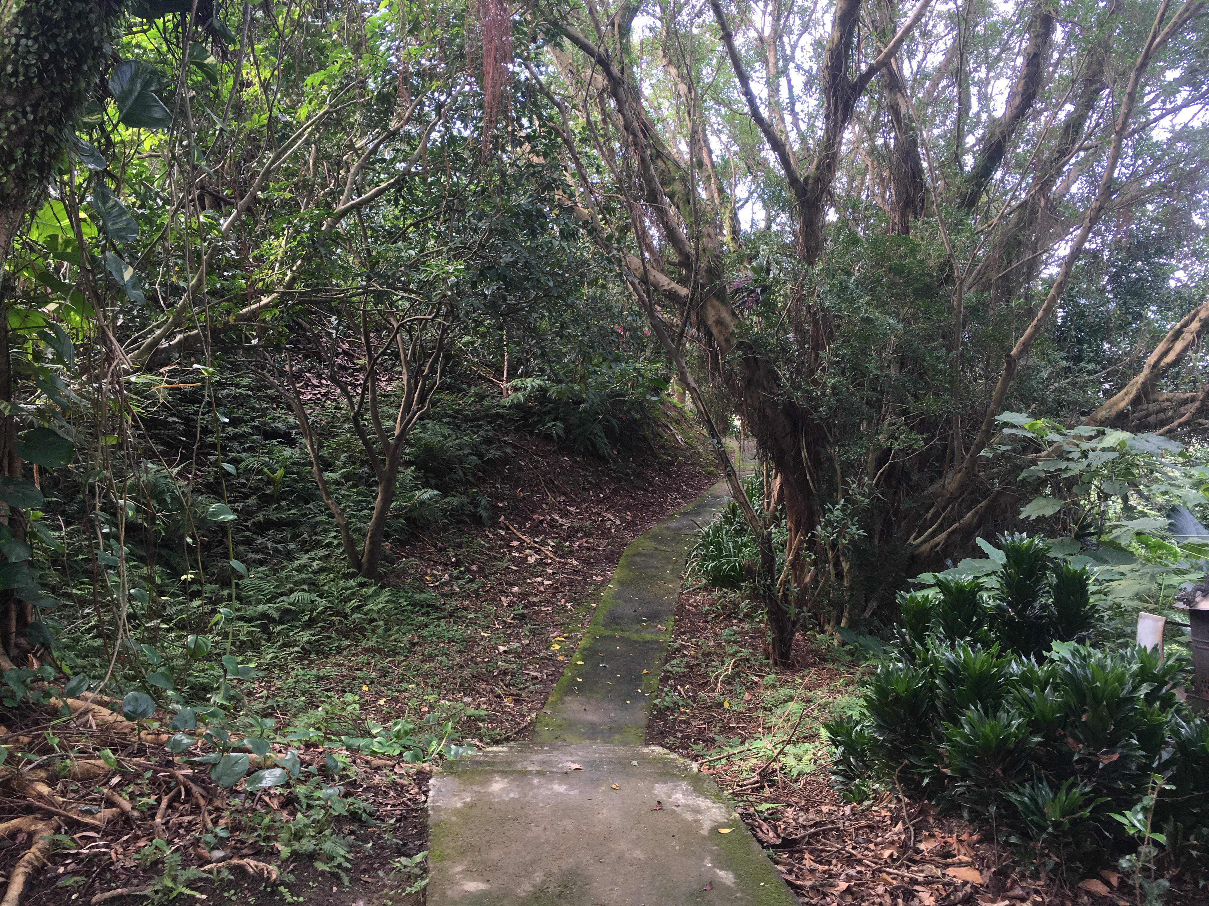
The path climbs gently upwards through pretty greenery with pink lilies, orchids and 朱蕉/zhujiao trees adding splashes of colour. (Apparently, a common English name for this is ‘cabbage tree’.)
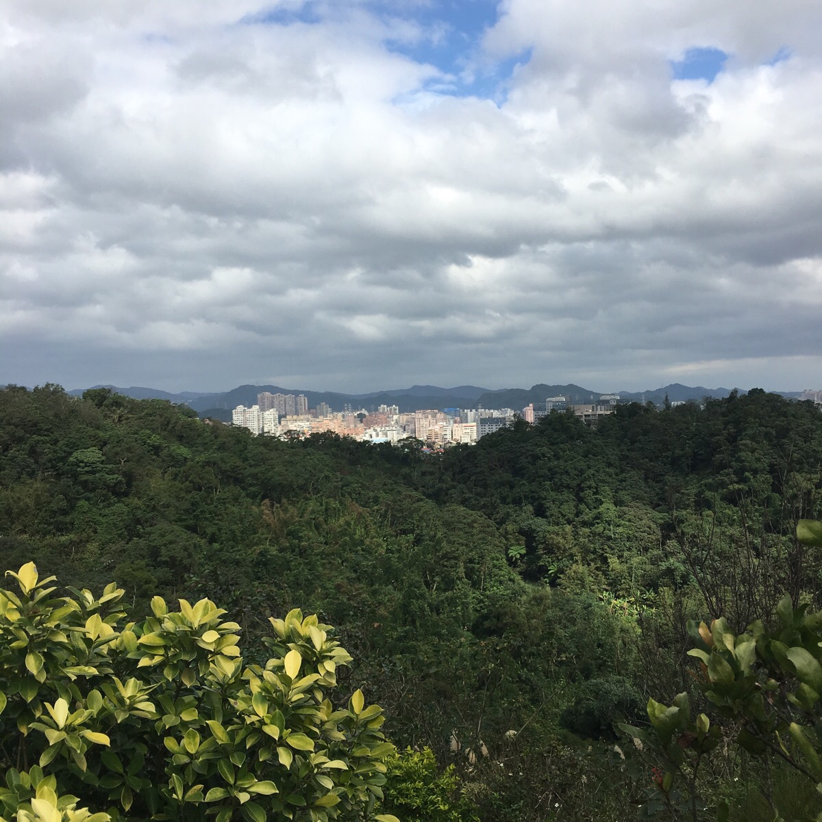
The view to both sides starts to open up, on the left you can see the arc of the hill ridge and a small lake nestled in the crook of the valley, with the city beyond and to the right you can see the city giving way to farm land and mountains.
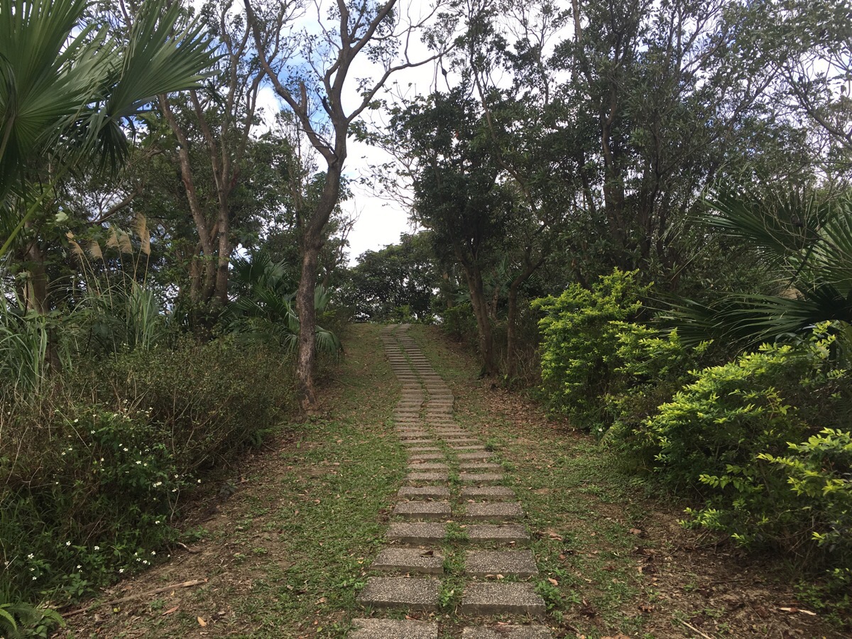
There is a series of peaks all the way along the ridge with a few shelters dotted along the way. I took my time to enjoy the views at each one – relishing the quiet and the fact that I was escaping on what was technically a work day.
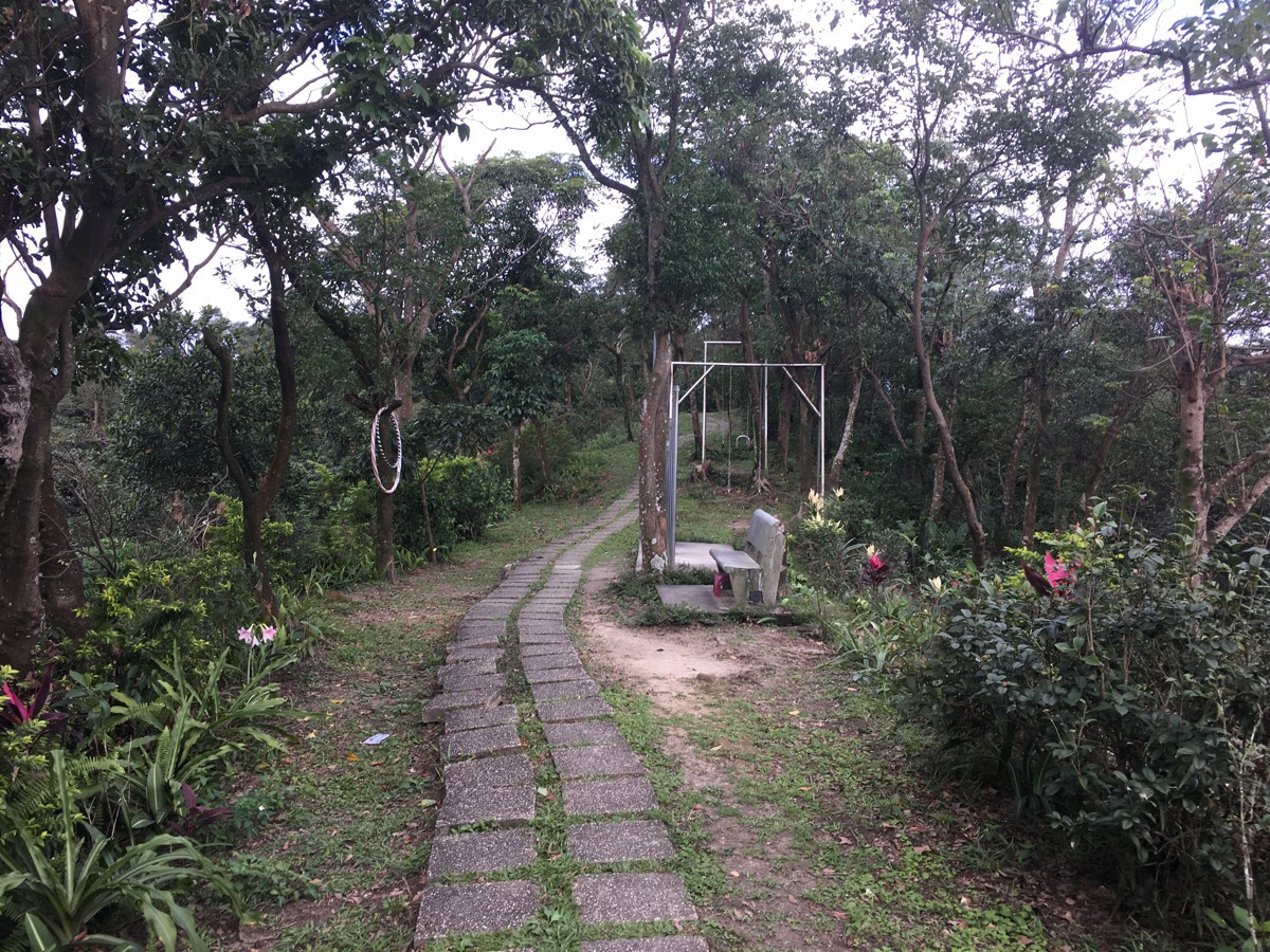
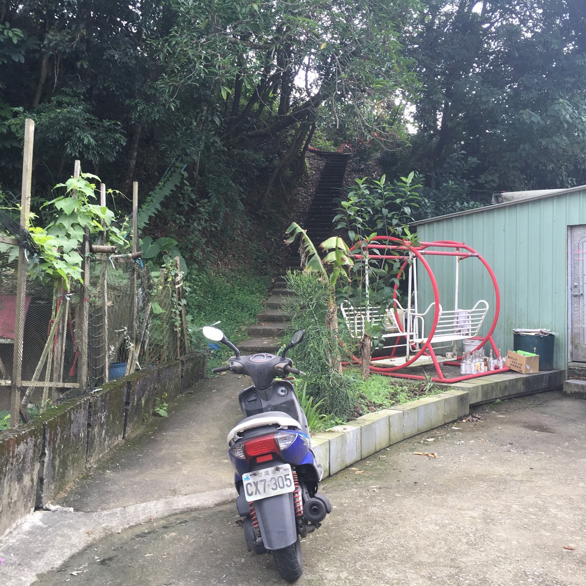
Midway between a couple of the peaks there is an exercise area with a couple of swings to relax on.
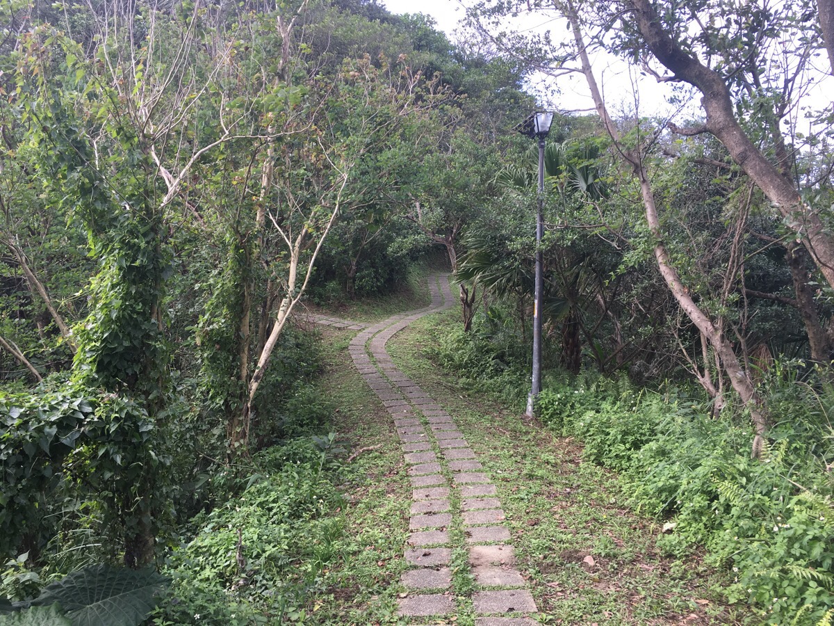
There are almost no junctions along the way and this one doesn’t matter very much. The left path goes up to the top of 小南港山 and the right hand path goes around the bottom of the peak and rejoins the path near the top. I took the left path because it’s a more direct route to the top.
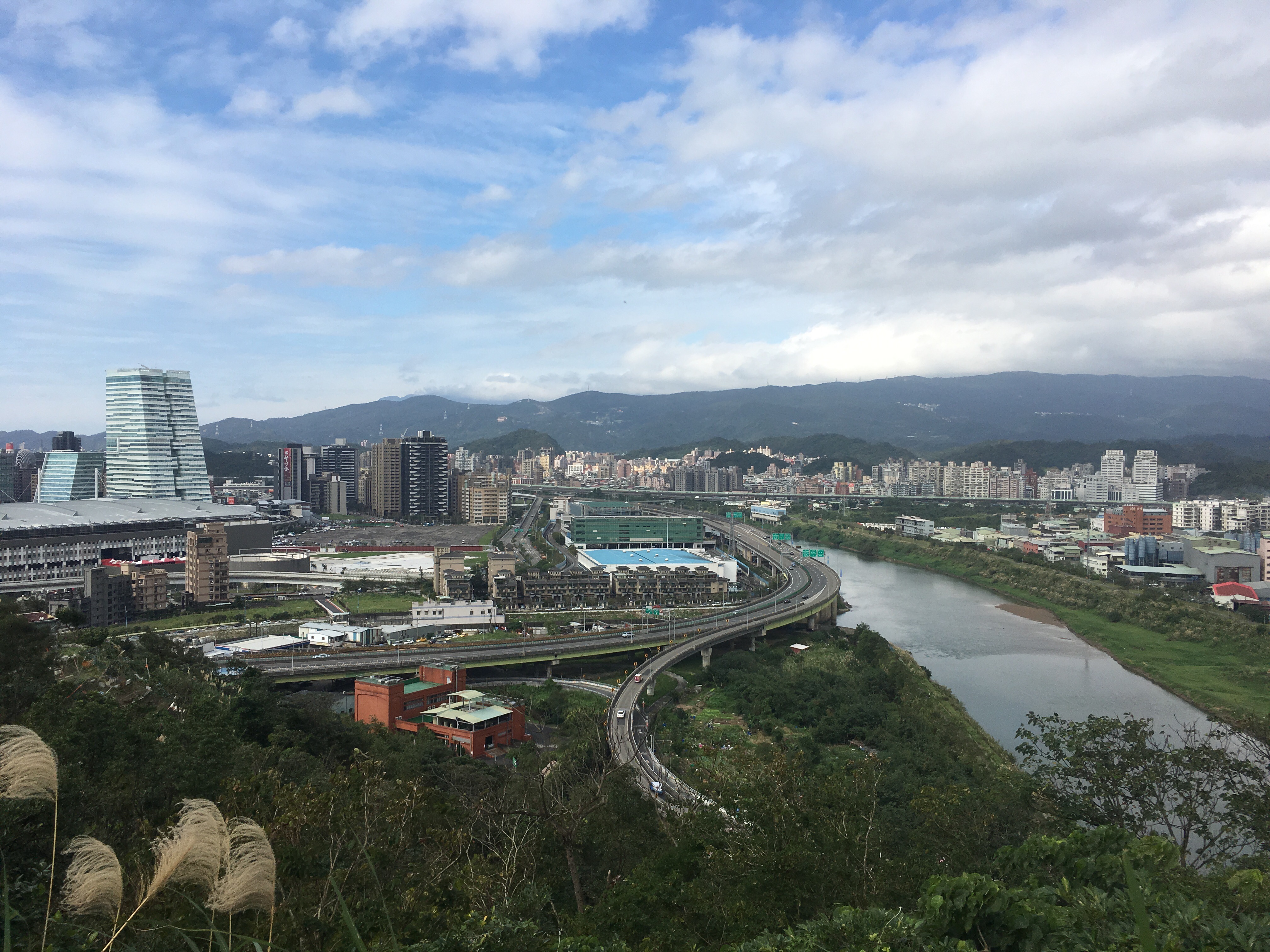
Once there you get some pretty impressive views – looking northwest you can see Keelung river curving towards its confluence with Tamsui river, past Taipei Exhibition Centre, Nangang Software Park and the strangely tapering silver-blue forms of the CTCB Financial Park buildings.
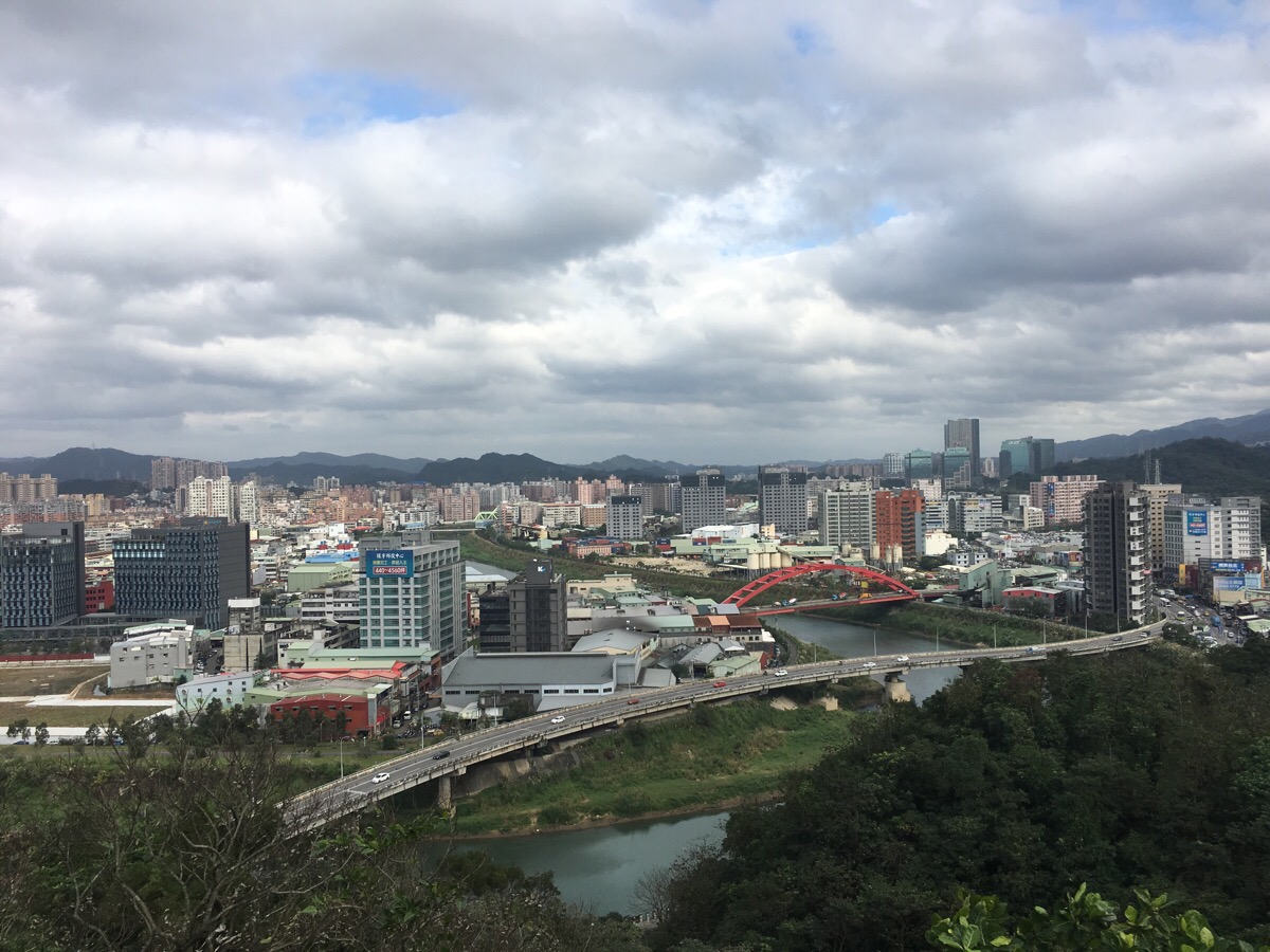
To the northeast Keelung river heads down from Shifen and its source – the red arch of Nanyang bridge adding colour to all the grey.
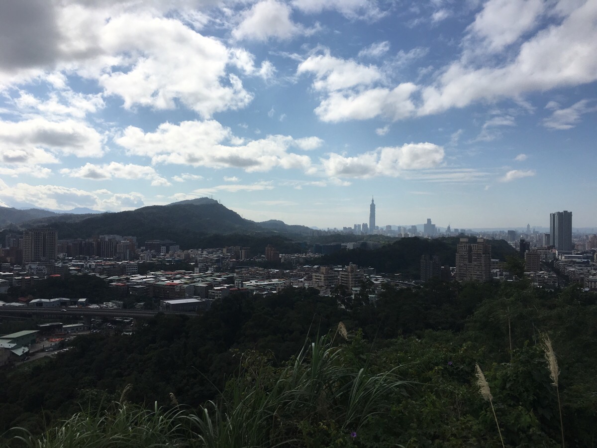
From the peak itself you can look southwest all the way to Taipei 101.
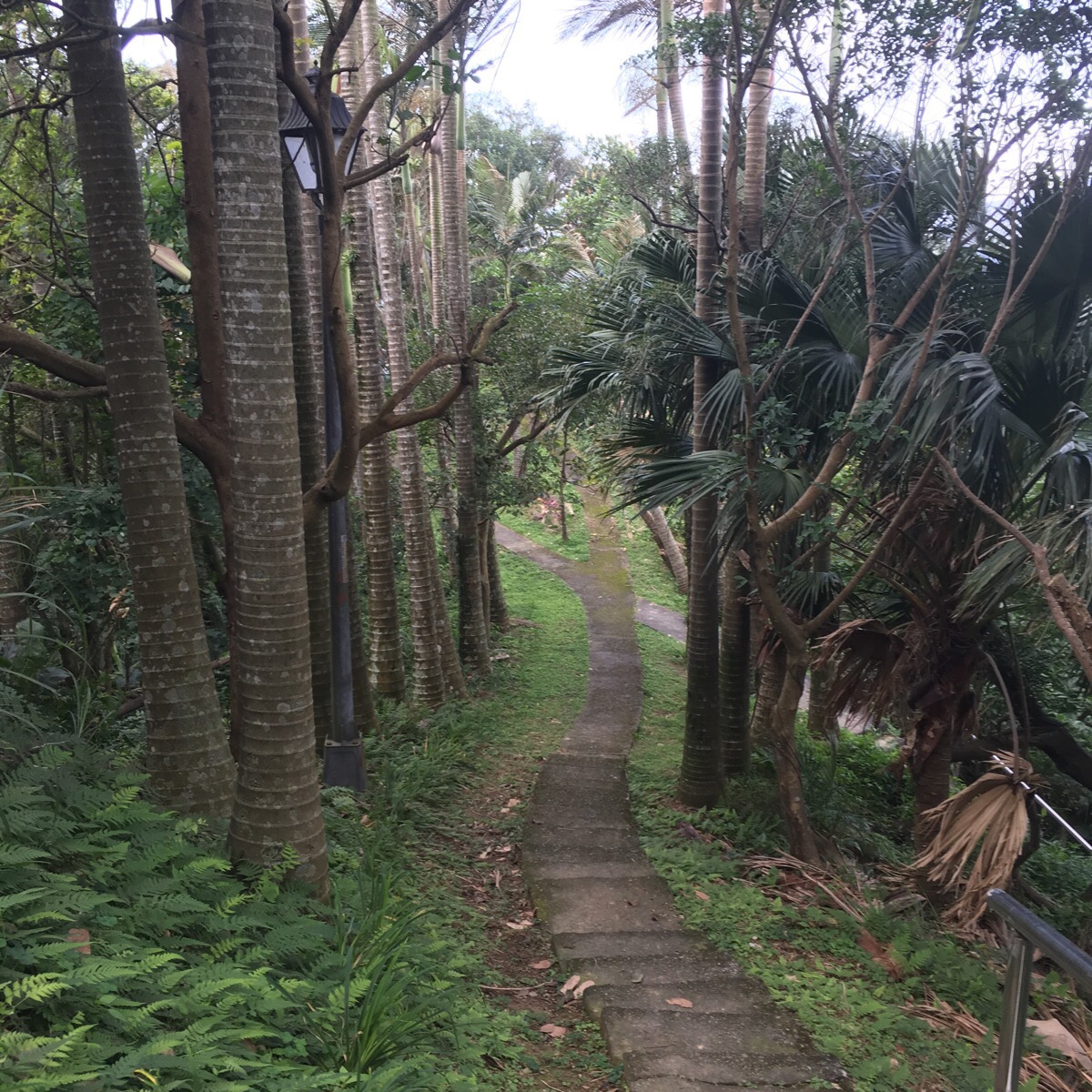
The path heading down from the top is rather grandly flanked by tall palm trees. At the bottom of the steps in the picture I took the path which bends a little to the left, (the path heading straight just goes to a picnic table and the one on the right goes back to the junction four pictures ago).
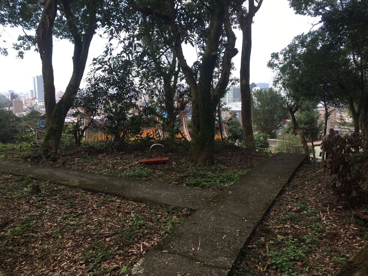
After an extremely short distance, there is another inconsequential junction. I headed left, passing the temple on my right, but actually the two paths join up a little further down. This was the first place that I saw people since starting on the walk.
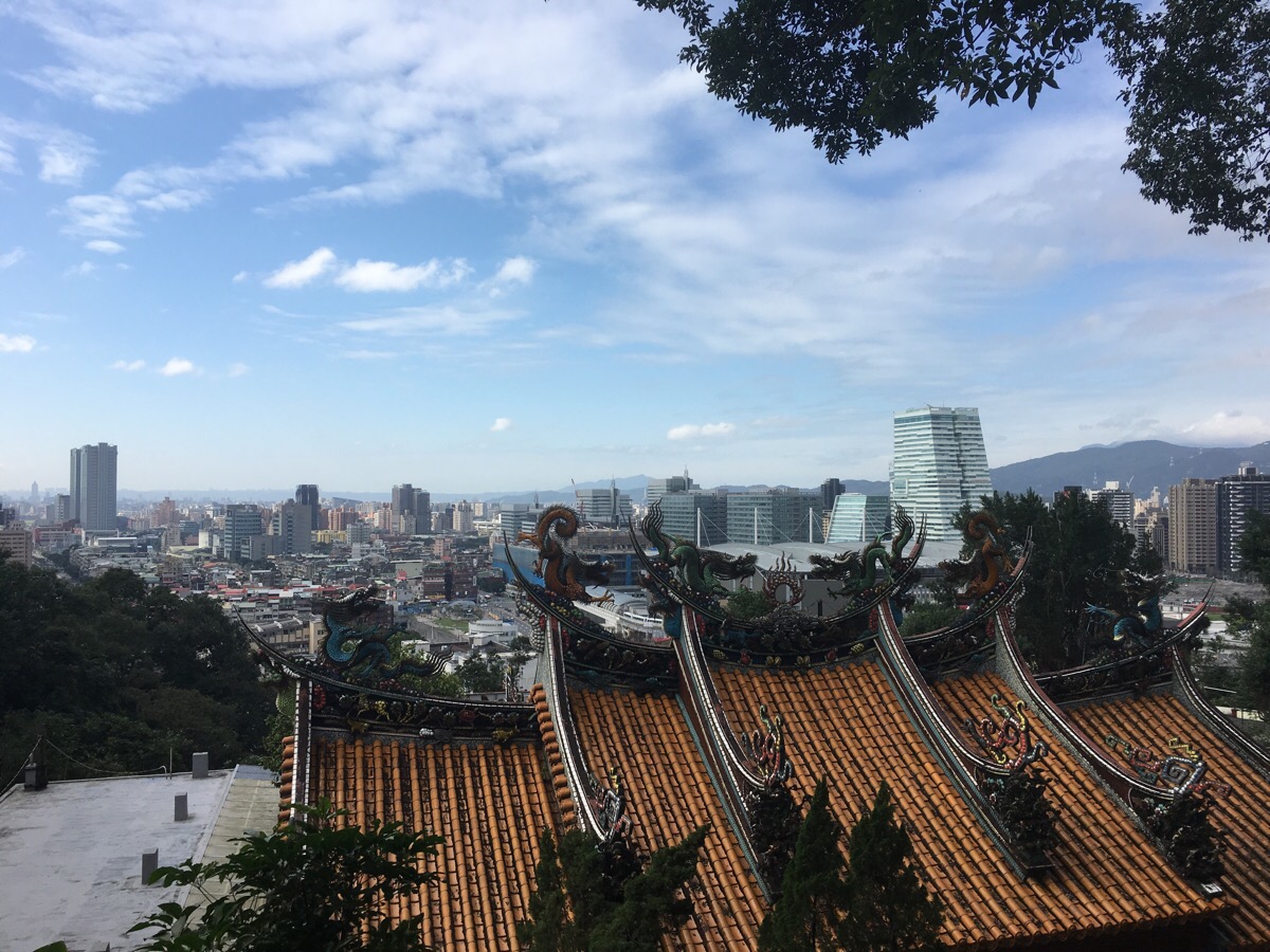
The temple architecture looked really interesting in front of the messy modern sprawl of Taipei.
The path curves around the side of the building to a junction where you could go left downhill through the shade of banyan trees or straight towards the temple. I went left and down. After a little way the path merges with the one I left above the temple right under a winch and pulley-system that the temple seems to use to transport goods up the hill. I also met an old man who wanted to talk to be about how many good foods Taiwan has.
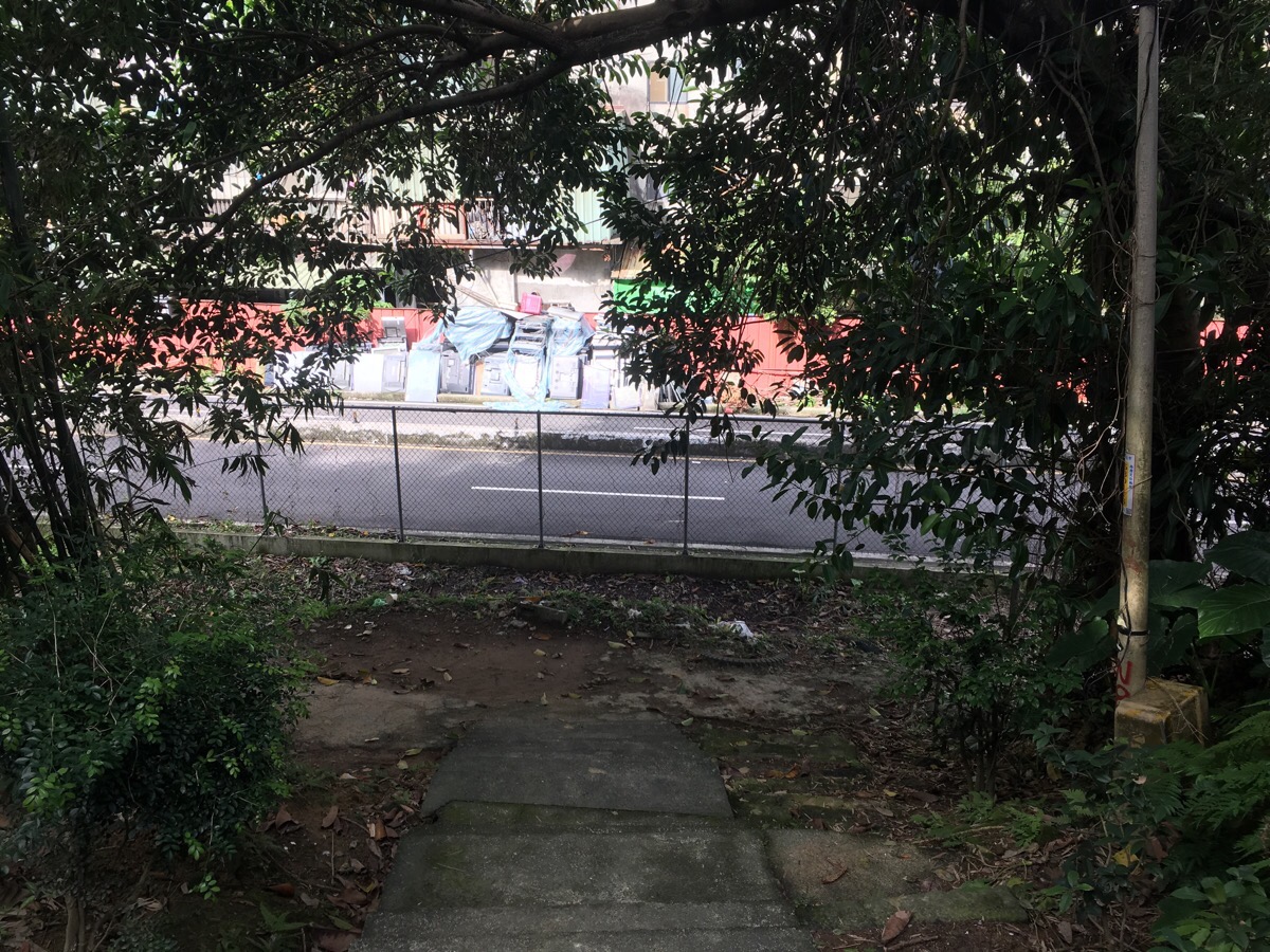
The final part of the path goes down to a road, I turned left at the bottom of the stairs and headed back to Nangang MRT station.
How to get to Xiao Nangang Trail
Google maps address: Alley 52, Lane 121, Hengke Rd, Xizhi District – this is where I started. Or this place which is where I came out.
GPS address: N25 03.039 E121 37.300 to do it the same way I did or N25 03.270 E121 37.302 to do it in reverse.
Public transport: take the MRT to Taipei Nangang Exhibition Centre (the last stop on both the blue line and the brown line), then walk to the start of the trail.
My new words learnt this hike were:
- 藏起來 / cáng qǐlái / hide

Fab little hike, perfect for escaping the city in between the rain showers. Also although they were a bit battered by the heavy rain we had last night there were lots of dark pink cherry blossoms along the trail, so a great place to enjoy them without a million other people.
LikeLiked by 1 person
Very happy to hear you enjoyed it, and that’s great to know that it’s a good place to go blossom spotting. Happy Lunar New Year!
LikeLike