Distance: 6km if you do the trail and loop back to the Grand Hotel walking on the road, 3km if you catch a bus after you leave the trail. For a longer (10km) version of this trail, try this route
Time: about 3 hours (for the whole 6km) going slowly in the rain and with a sweet potato break at Family Mart but it could be quicker.
Difficulty: 4/10 the path is a mixture of road, steps and stepping stones, a little slippery when wet. The walking part isn’t at all challenging however the signage is awful for people who don’t read Chinese and the maps all vary greatly.
Water: ).5L – there’s a water dispenser at the end of the trail if you need more and a Family Mart just down the road from the trail exit.
Shade: well shaded for most of the trail.
Mobile network: no problem, available throughout.
Enjoyment: 5/10 pretty convenient but no views in the bad weather. I think I would have preferred to continue on to Jiannan Road MRT station instead of walking back along the road in the rain.
GPX file available here on Outdoor Active. (Account needed, but the free one works just fine.)
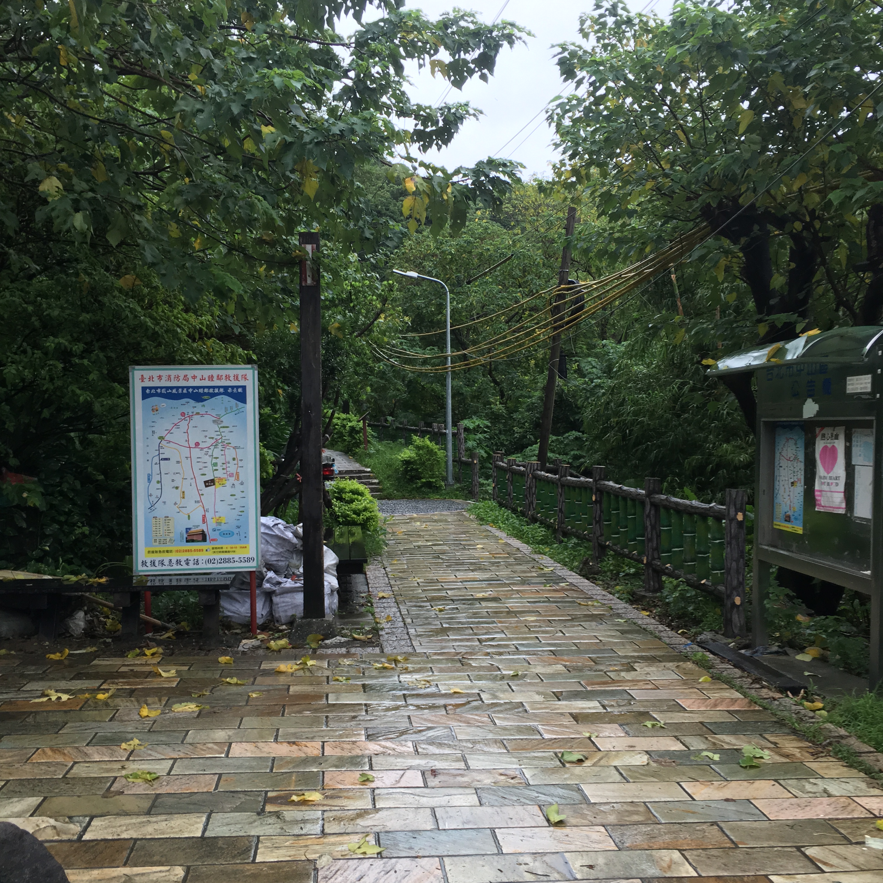
The entrance to the warren of hiking trails on Jiantan mountain can be found right at the back of the Grand Hotel complex. There’s a map at the entrance to the trail which you might find useful if you read Chinese, although myself and my Chinese-reading partner didn’t. I know map reading isn’t her skill but I don’t think it was her fault on this occasion. It seems to be primarily there to give people some idea where to find all the different badminton courts rather than to give people any real understanding of the nearby topography.
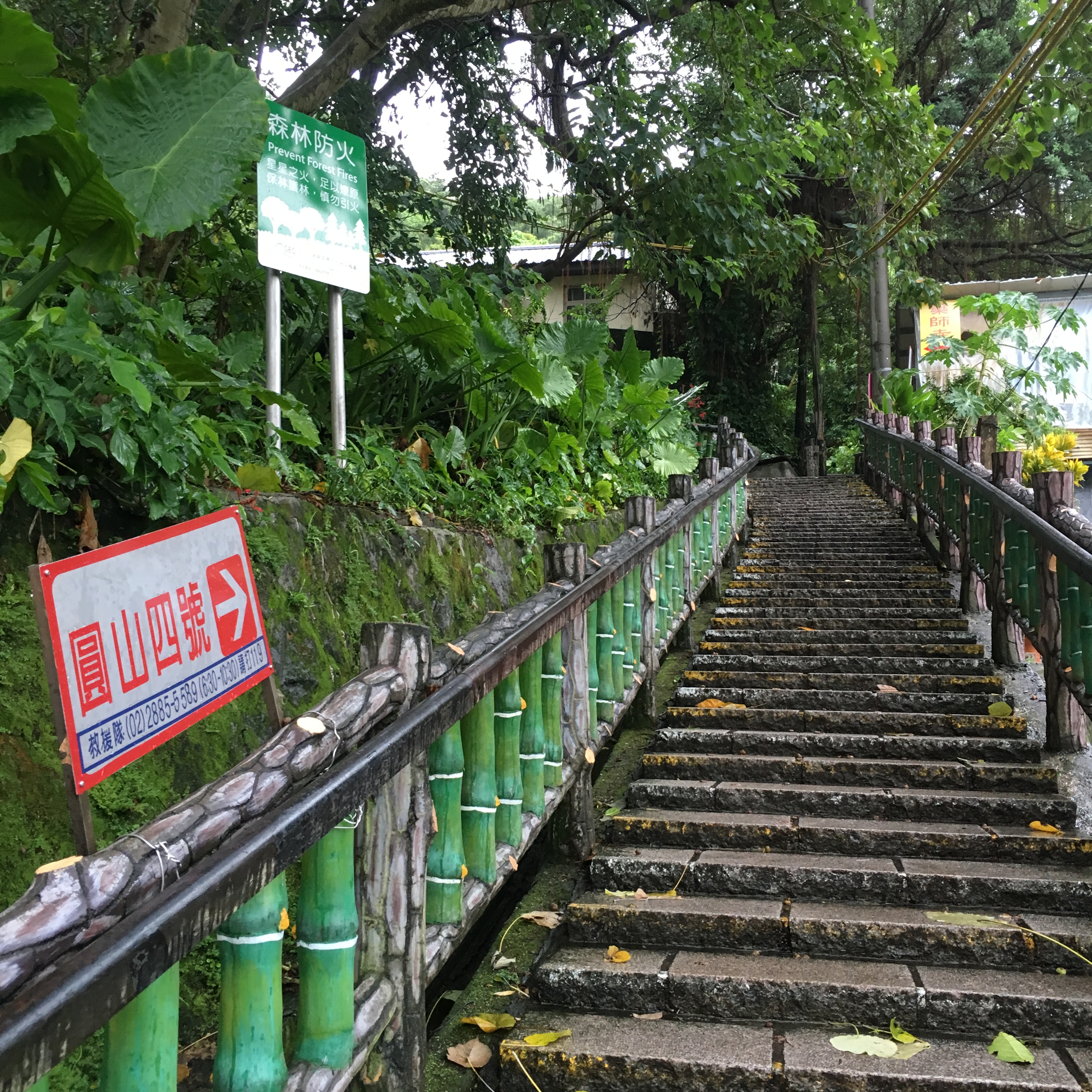
Just beyond the entrance to the trail we took the steps leading up which were marked as being part of Yuen Shan No.4 hiking route.

As you walk up you can see loads of well-kept badminton courts, each owned and cared for by a different club.

Continuing up we reached a cross-roads. I wanted the toilet so we headed straight over and up. The map at the crossroads somewhat confusingly had a ‘you are here’ marker in a place which didn’t seem to bear any relation to where we actually were.
Undaunted by the fact that we were without any accurate idea of where we were, we continued up – if we were a little further away from civilisation I wouldn’t have been so happy to just carry on without knowing where I was going but this is a very well walked and connected trail which is never more than a few hundred metres always from people. This viewing platform offered us the first ‘view’ of the hike although we couldn’t make out much through the rain.

Once we’d made use of the toilets we continued up. Again the map didn’t clarify much, especially as it seemed impossible that we really had travelled from the previous ‘you are here’ marker to this new one without passing any of the many paths shown.

A little up from the toilets it became slightly confusing where the path went as it crossed an open area.
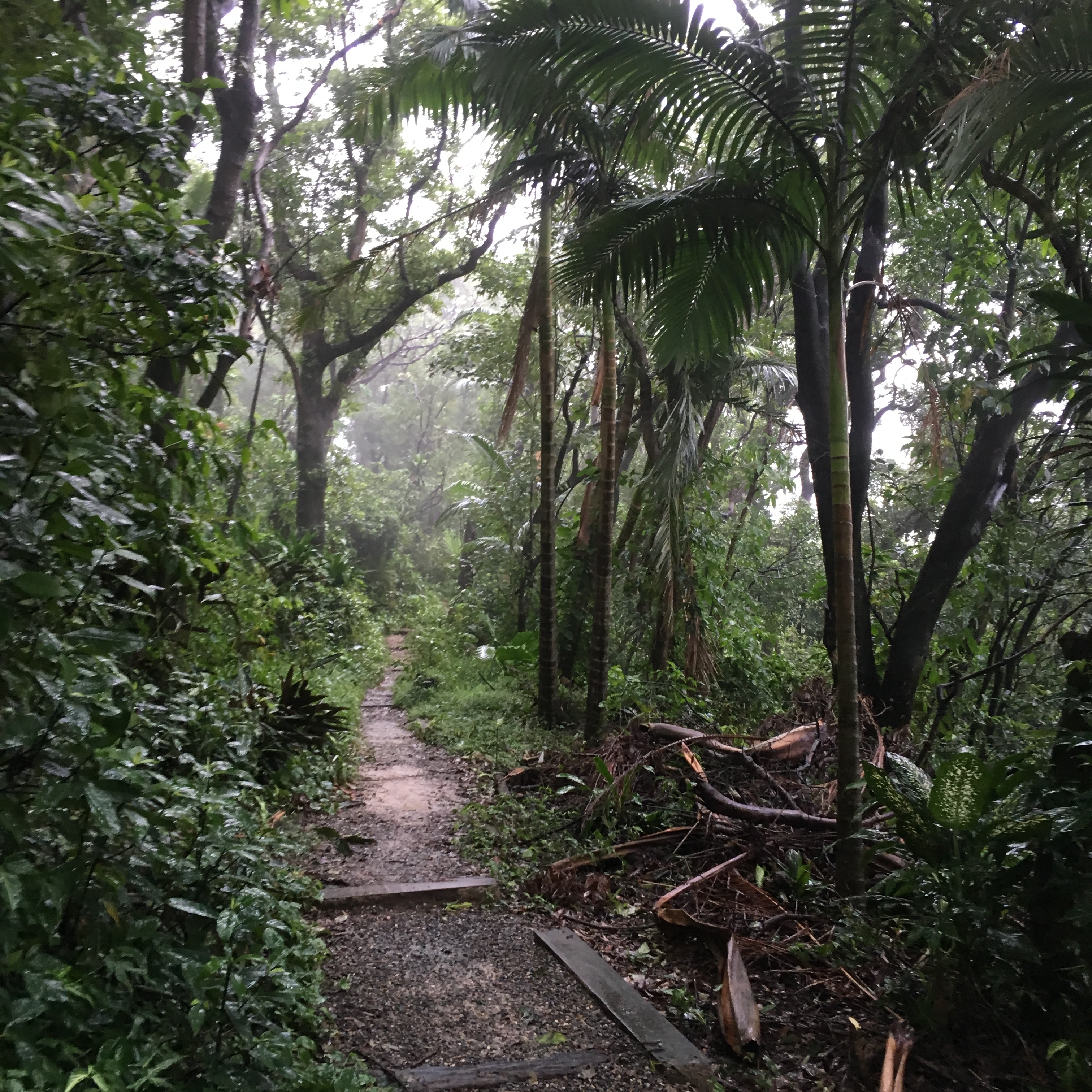
This short section was the most ‘wild’ that the path got for the whole walk, a very short-unpaved section which curved gradually to the right and downhill.
As the path we were on rejoined the main route we turned left and followed signs towards 老地方 (Lao Di Fang).

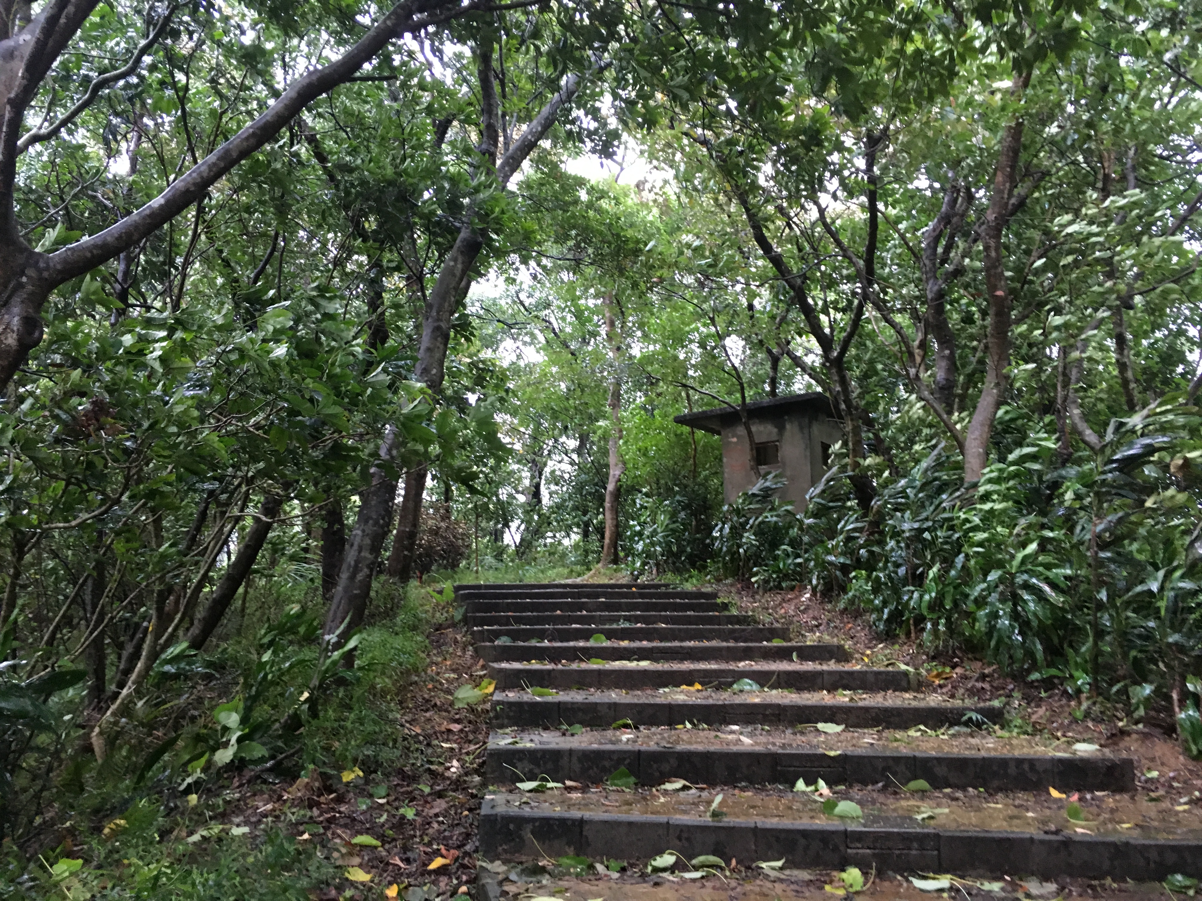
The path was very well maintained along this section. There were several old guard boxes stationed along the route, one of which we briefly sheltered in when the rain and the wind got a bit too much.

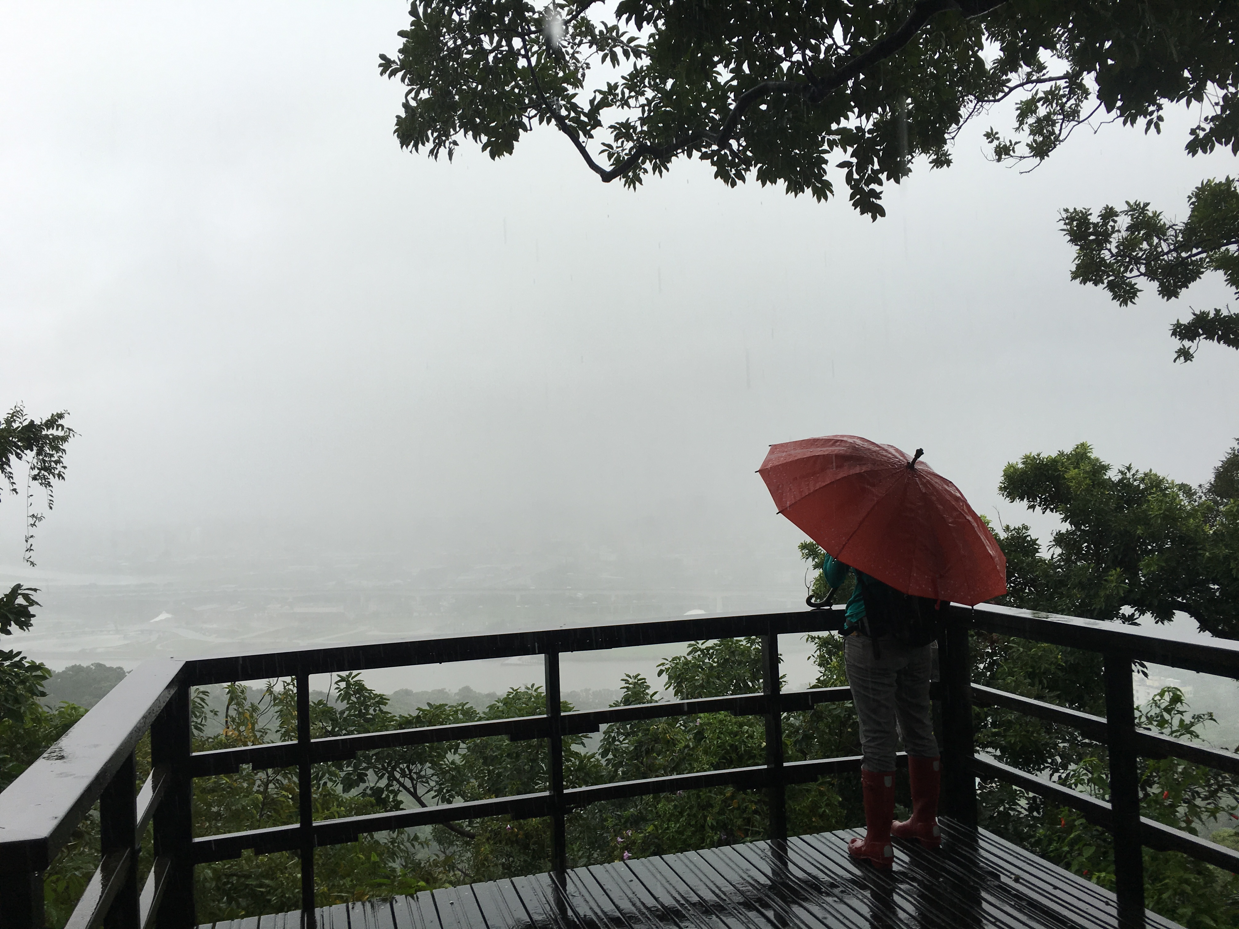
As you walk along this path there are several ‘beauties’, sight-seeing spots which focus on different things, this one (which also happens to be Lao Di Fang), focuses on the beauty of the airport.
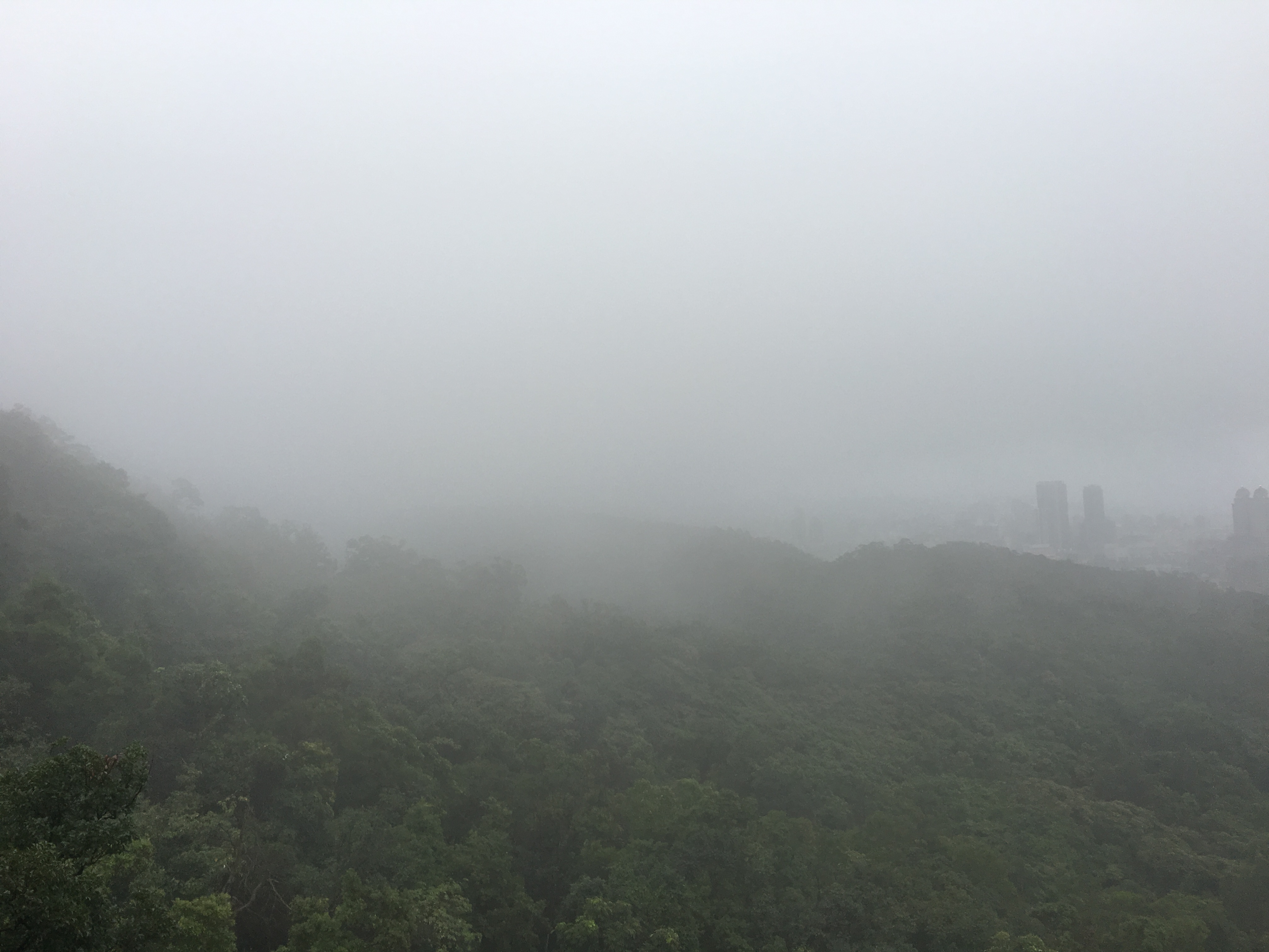
I’m not really sure that beautiful is an adjective which is commonly applied to airports but certainly the city fading in and out of focus through the rain had a certain beauty to.
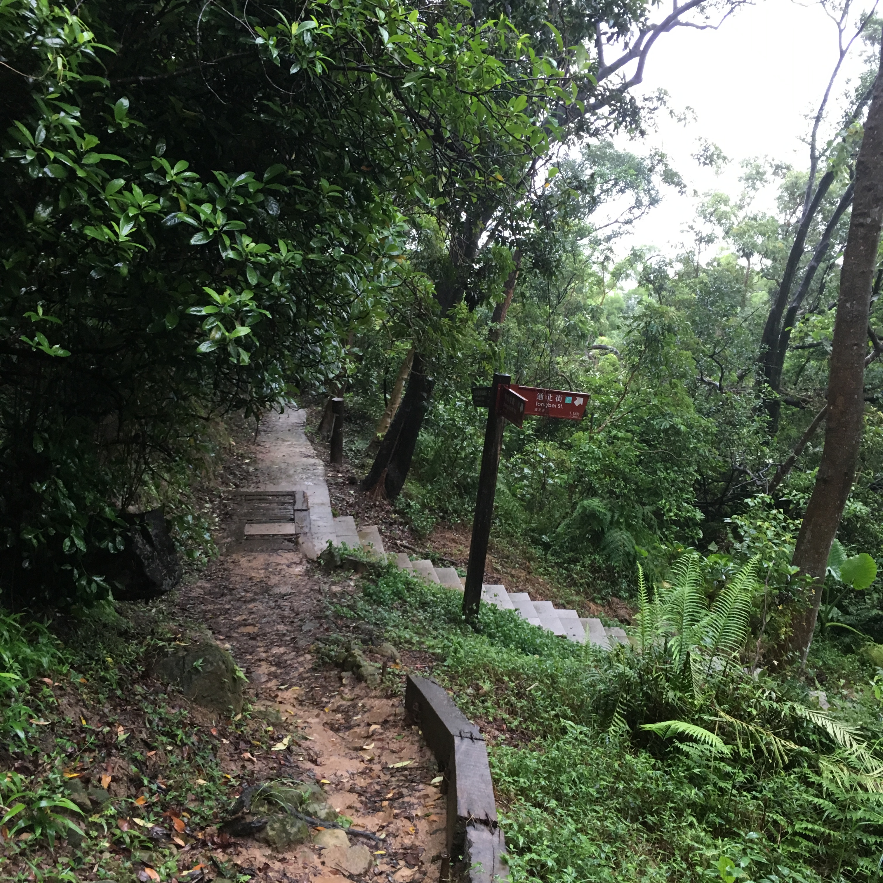
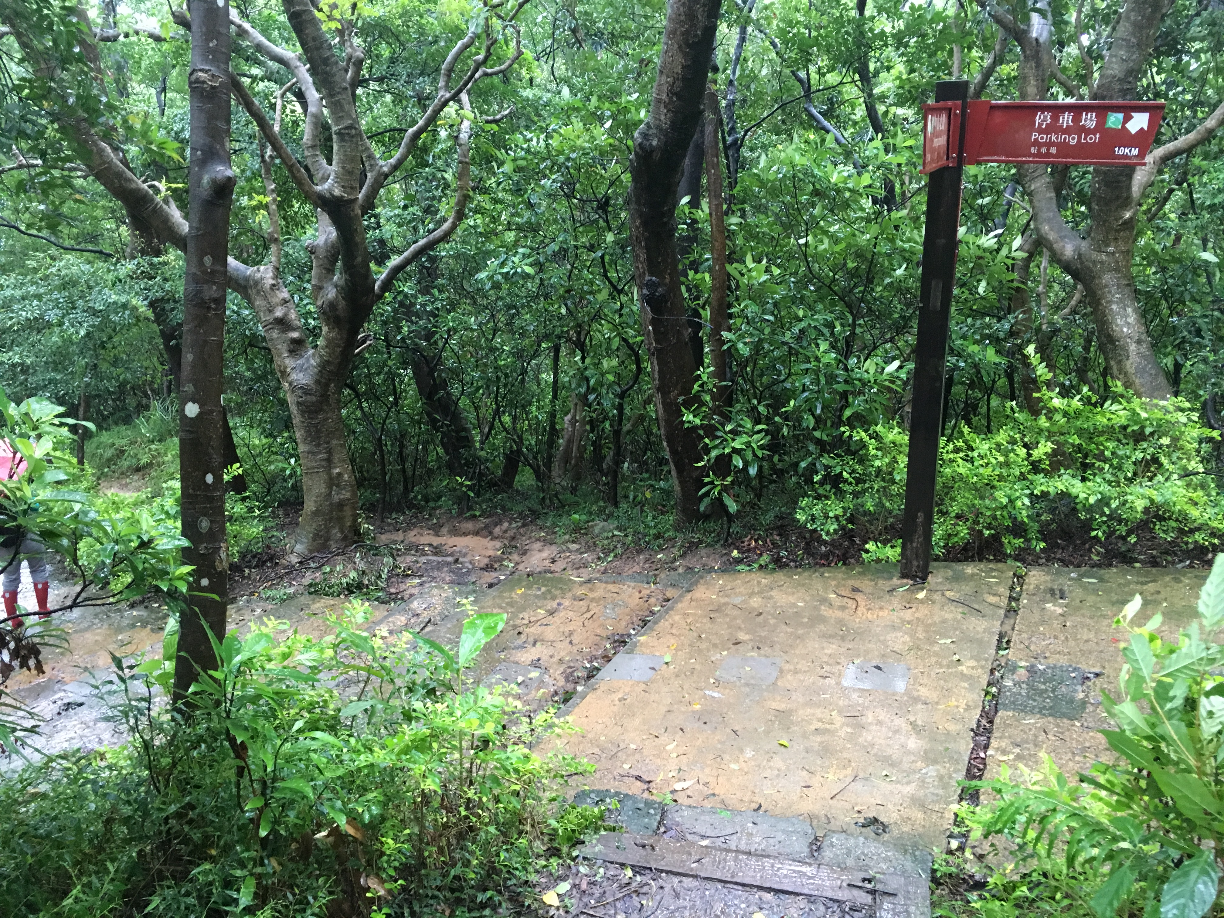
Leaving Lao Di Fang behind the path eventually gets narrower and continues without diversion until you reach these steps heading down. If you continue straight you can walk to Jiannan Road MRT station but we headed to the right and downhill instead. There’s a rest area on the way down but not much else of note.

At the exit from the trail we found what is probably the most useful map of the walk. There’s also a water dispenser where you can fill your flask to the right as you’re leaving the trail. The route to the city has wooden steps all the way down on the left of the road but we avoided those as they looked rather slippery in the rain. There’s also another ‘beauty’ down here, this one is dedicated to the bird-life in the area.

As you head down you’ll start to see more signs of the city. At the first junction head left, (right is a dead end).

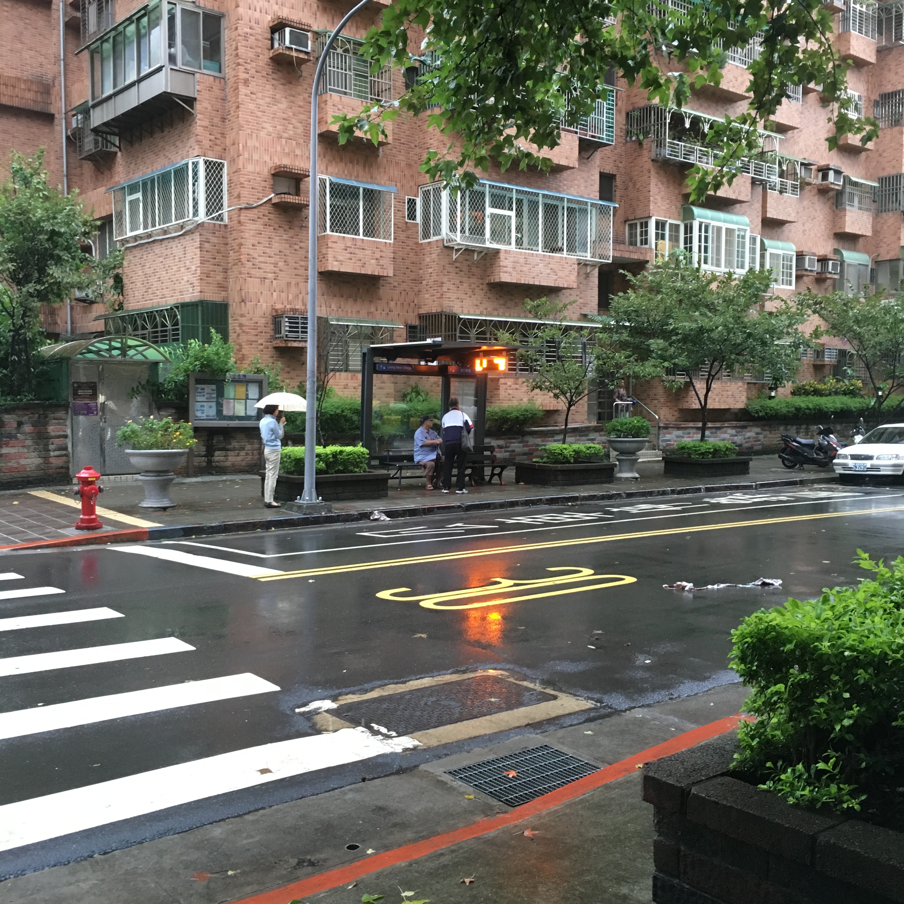
Continue along Tongbei Street, you’ll pass a Family Mart and a bus stop on your left. Bus no. 21 stops here and can take you back to Yuanshan MRT station, it travels along the same route that we walked so you can also take this to get you back to the Grand Hotel if you came by car or scooter.
After the bus stop the road bends to the left.
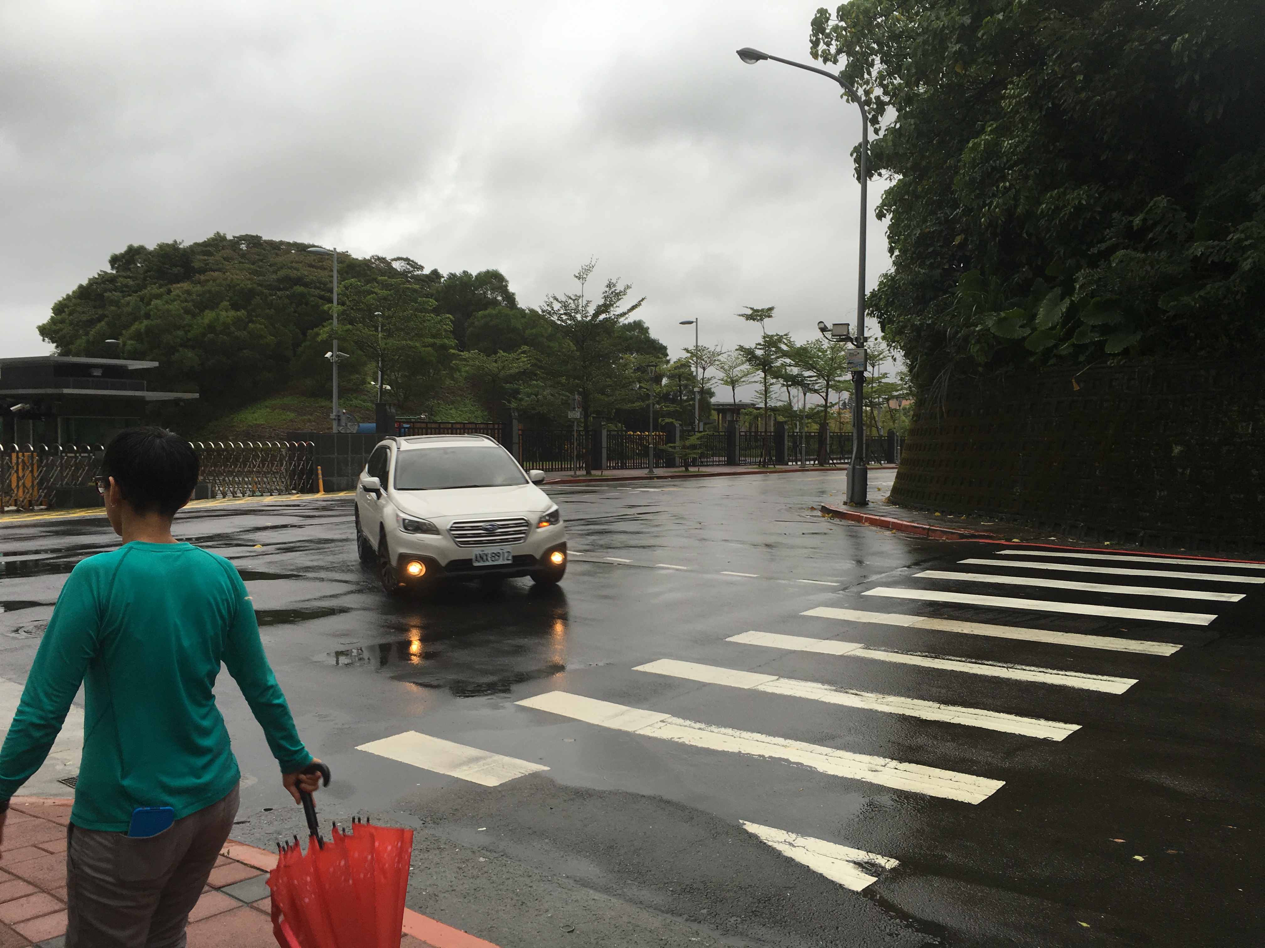
Then it bends to the right, (you don’t have much choice as to where to go here as a lot of the land is owned by the military).

As we passed the airforce part of the Ministry of Defense complex we caught a glimpse of the Grand Hotel in the distance. At the junction turn right onto Beian Road.
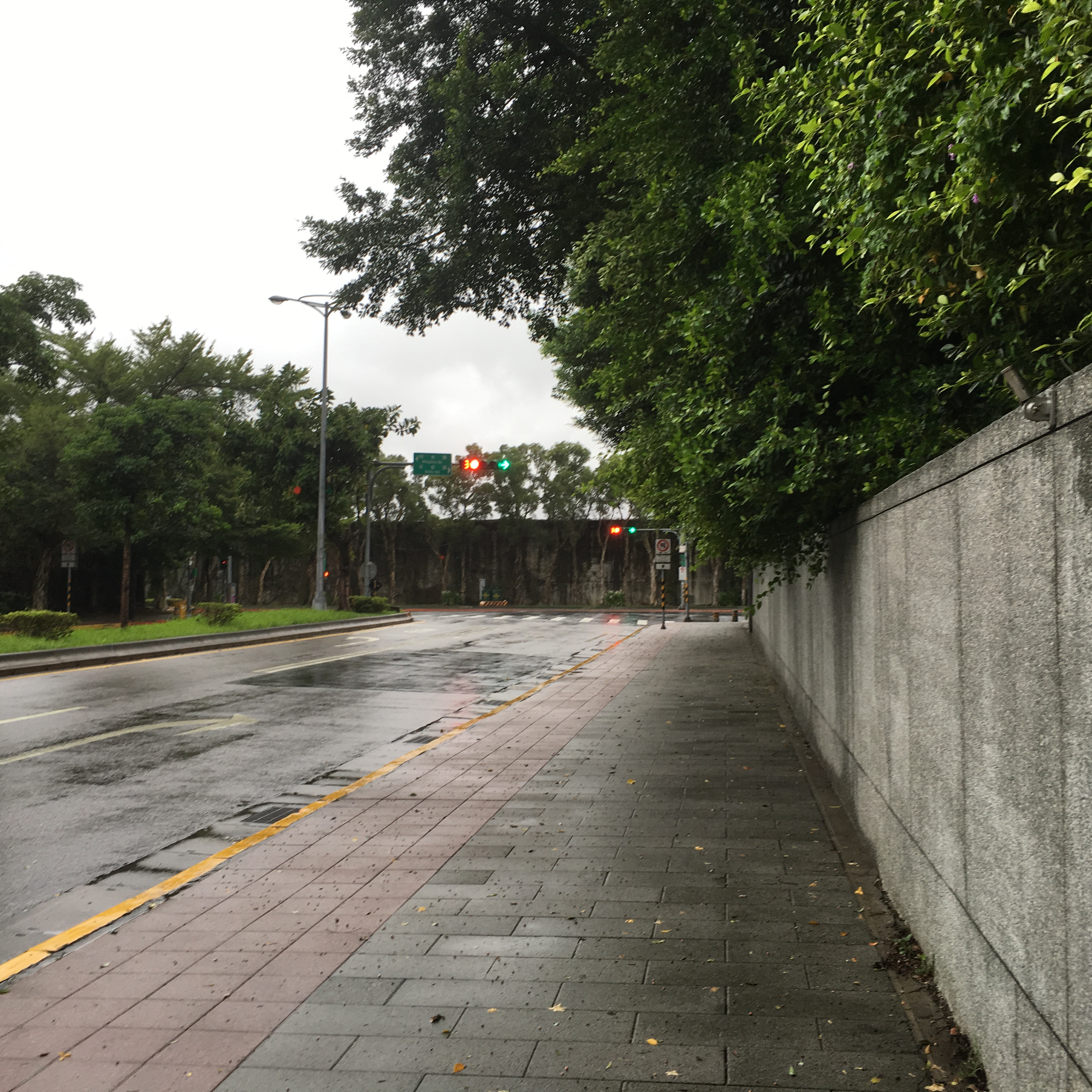
Follow Beian road as it bends left and then turn right at the junction with Mingshui Road.
You’ll pass a few interesting places along this road, the navy part of M.O.D buildings, Taipei Martyrs’ Shrine and the Radio Taiwan International buildings.

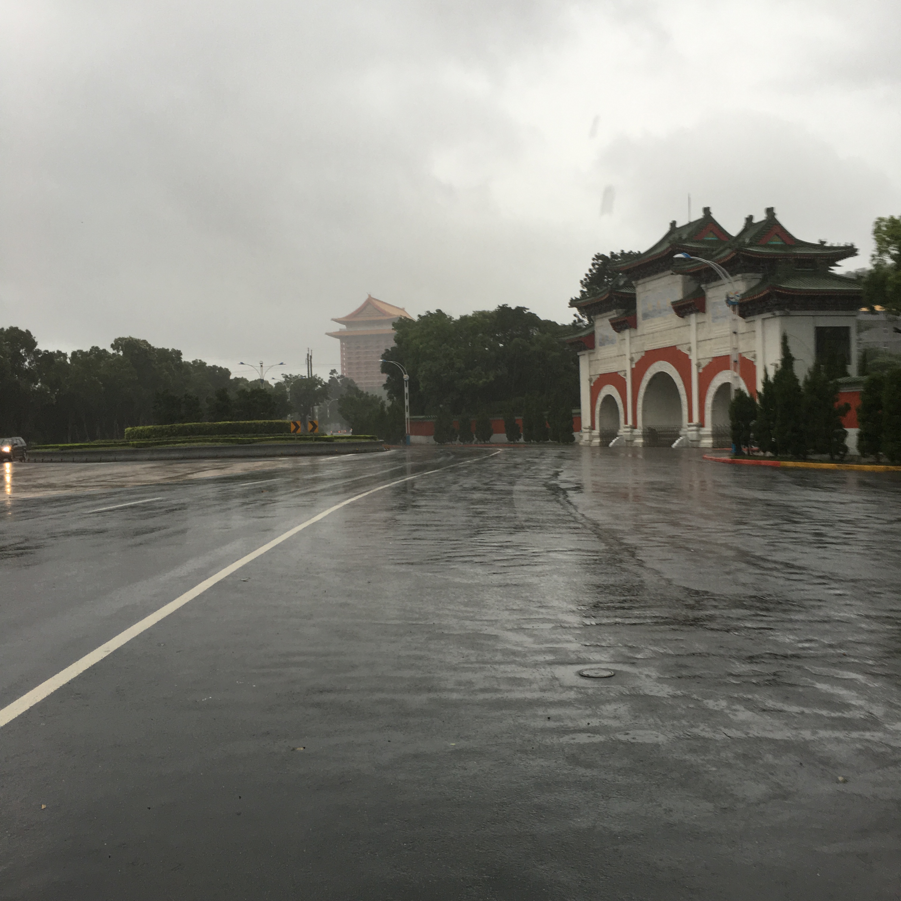
Next to the roundabout you’ll find this sign directing you up some steps to Yuan Shan (and the hotel).

The building is just as grand and imposing close up as it is when you view it from a distance.
How to get there:
Google maps address: 圓山大飯店停車場, 104, Taipei City, Zhongshan District, Lane 1, Section 4, Zhongshan N Rd, 1號
GPS address: N25 04.827 E121 31.662
Public transport: this is a really easy location to get to on public transport, it’s only about a 20 minute walk from Yuanshan station and there are loads of buses which can get you here. Routes 287, 21, shuttle bus goes from Yuanshan station, routes 287 and 247 go via Dazhi station, R3 stops at Jiantan station. It’s easy from literally wherever you are.
My new words learnt on this hike were:
- 海軍 / hǎijūn / (the) navy
- 空軍 / kòngjūn / airforce
- 羽毛球 / yǔmáoqiú / badminton
- 你羽毛球打的好嗎?/ nǐ yǔmáoqiú dǎ de hǎo ma?/ Do you play badminton well?
- 你游泳游的好嗎? / nǐ yóuyǒng yóu de hǎo ma? / Do you swim well?
- 游泳池 / yóuyǒngchí / swimming pool
- 掉下去 / diào xiàqù / fall down
- 蜘蛛 / zhīzhū / spider

Wish I had time for this hike!
LikeLike
If you’re still you’ve got a morning or afternoon free it is definitely achievable. Although I think the whole hike is definitely more worth while if you do the extended version over Jinmian Shan, (still only a 3-4 hour walk).
LikeLike