
Distance: 4km
Time: an extremely leisurely 2 hours and 20 minutes – including tea stops, exercise stops and tofu pudding stops.
Difficulty: 3/10 – there’s a lot of steps but there’s pretty much nowhere to go wrong here. Also at 4km it’s not long enough to be tiring.
Water: 0.5L – you can always top up in the temple or at the top.
Shade: mostly shaded, but with enough dappled portions that I would take an umbrella if I went in high summer.
Mobile network: yup, no problem.
Enjoyment: The walk itself isn’t that special compared to others I’ve done recently, however there is an interesting temple complex at the start and there was tofu pudding at the top and it makes for a good work out if you can’t go too far.
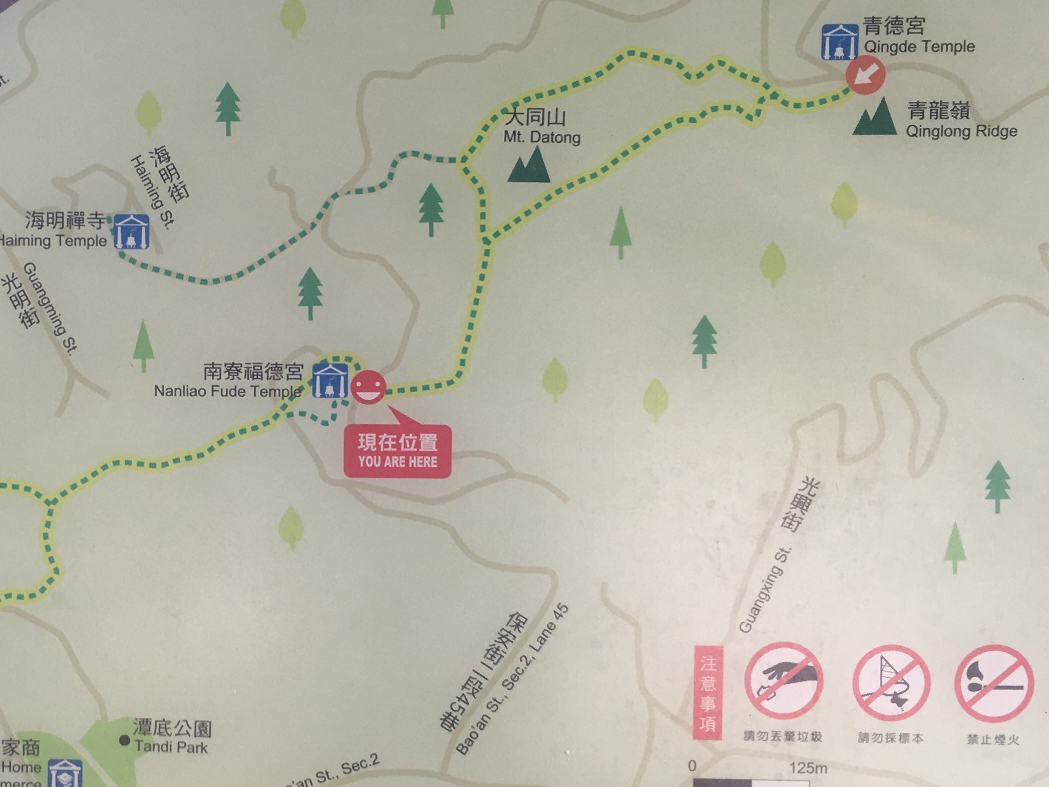
This map wasn’t quite at the start of the trail but it’s pretty accurate. We went from Nanliao Fude Temple up to Qingde Temple. Via the path which goes round to the left of Mount Datong and then back down the road.

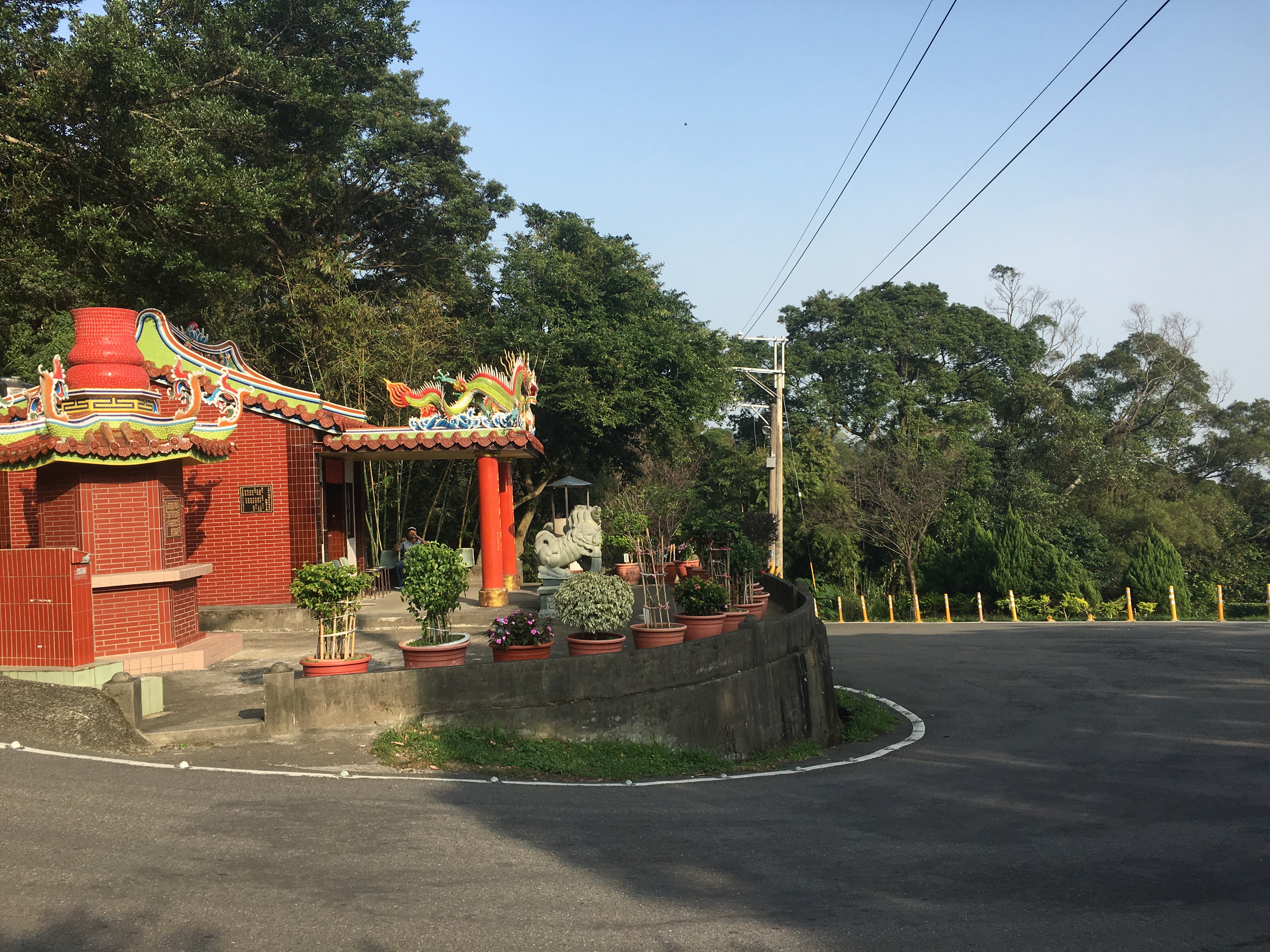
We parked the scooter at the bottom of the steps leading up to Nanliao Fude Temple and next to the first karaoke bar of the walk (this one had a lone uncle belting out his favourite tunes). From here we followed the sign pointing up the steps to Qinglong Ridge and Mount Datong trail.
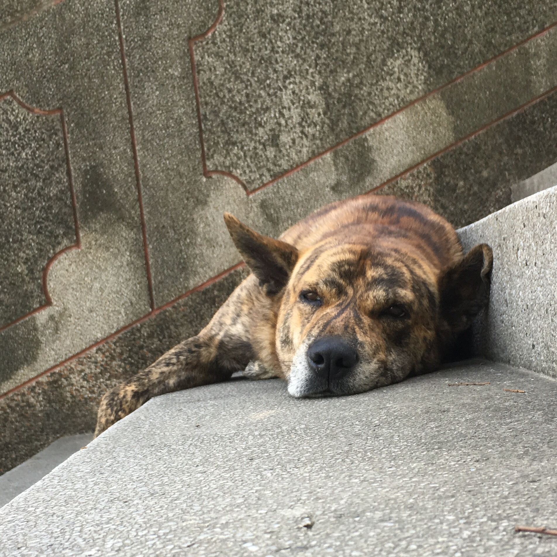
The steps were being guarded by a fierce tiger-dog but luckily it was his break time.
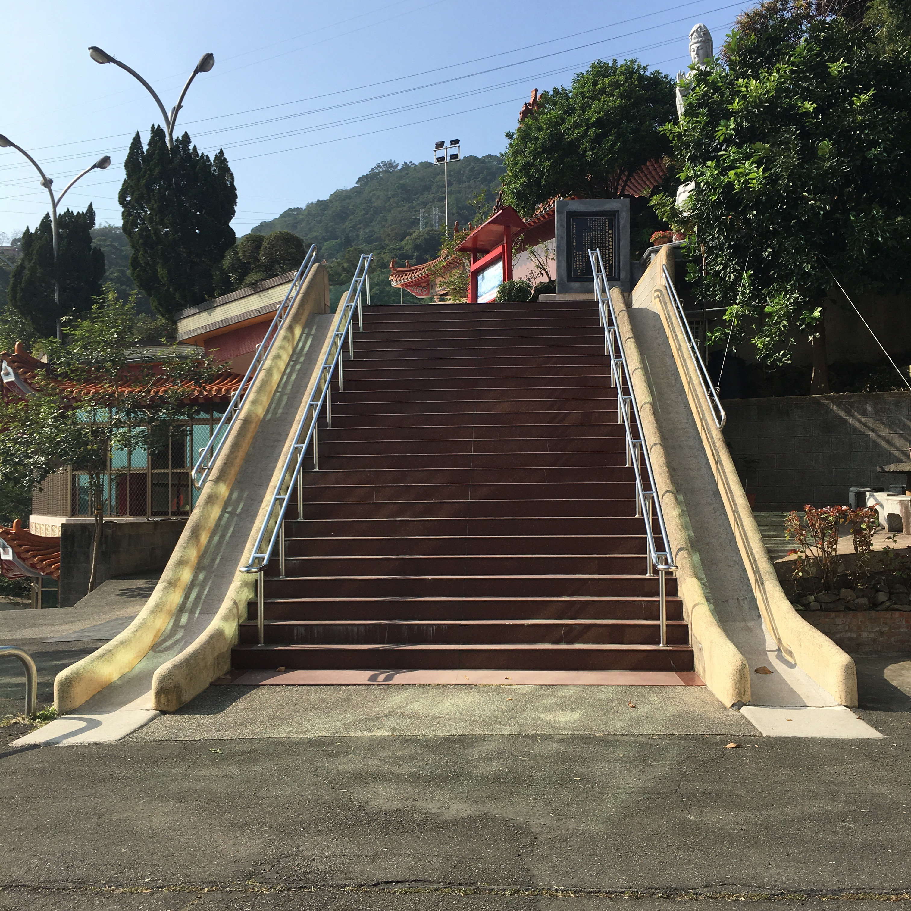
We climed the steps but of course the slides needed to be tried out so we had to climb them again. It was exhilarating for sure, I needed to brace my feet against the sides in order not to go too fast and I’m not sure how many times I could have gone down them before I burnt a hole in my trousers but I’m betting it wouldn’t be too many times.

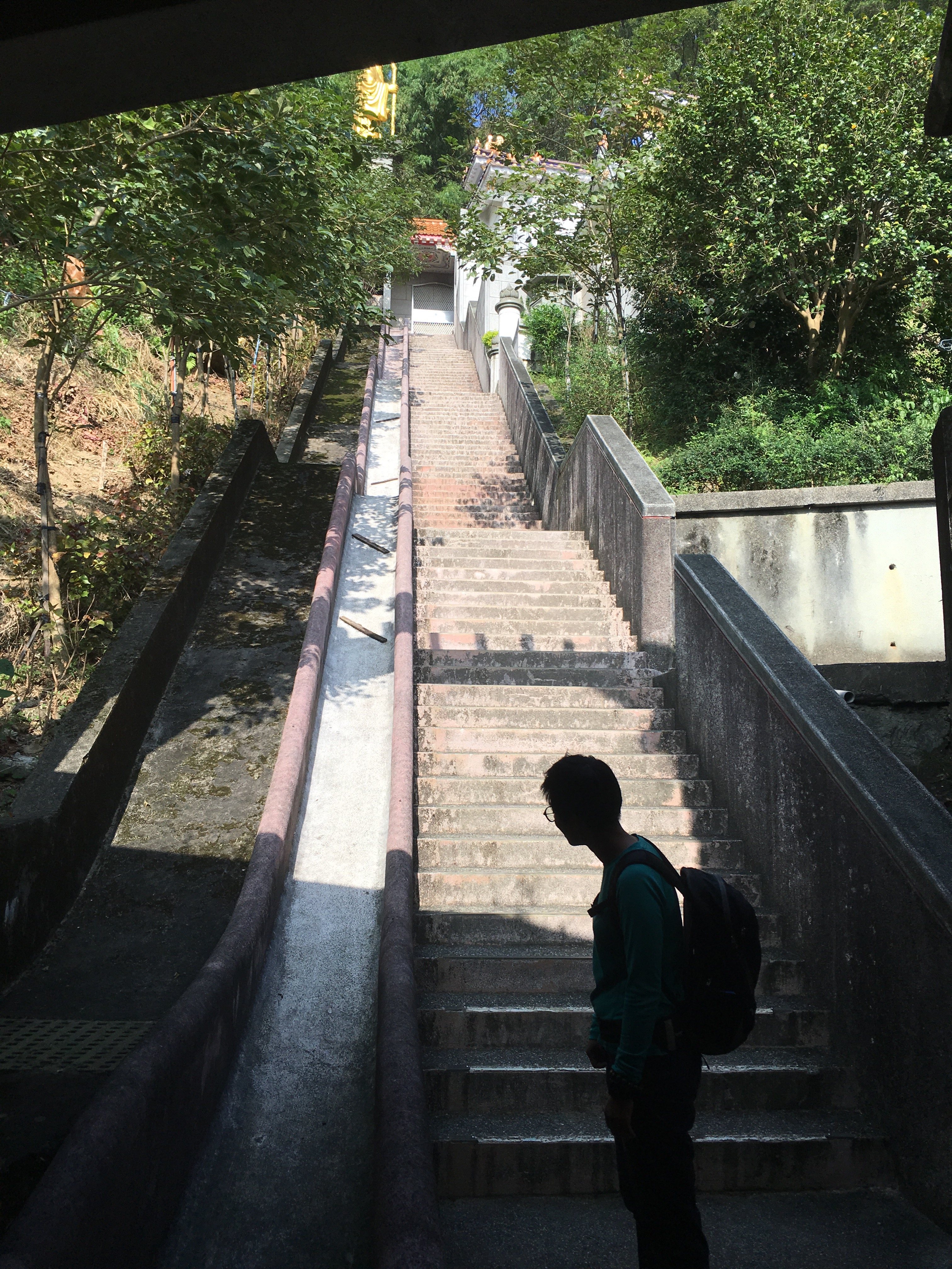
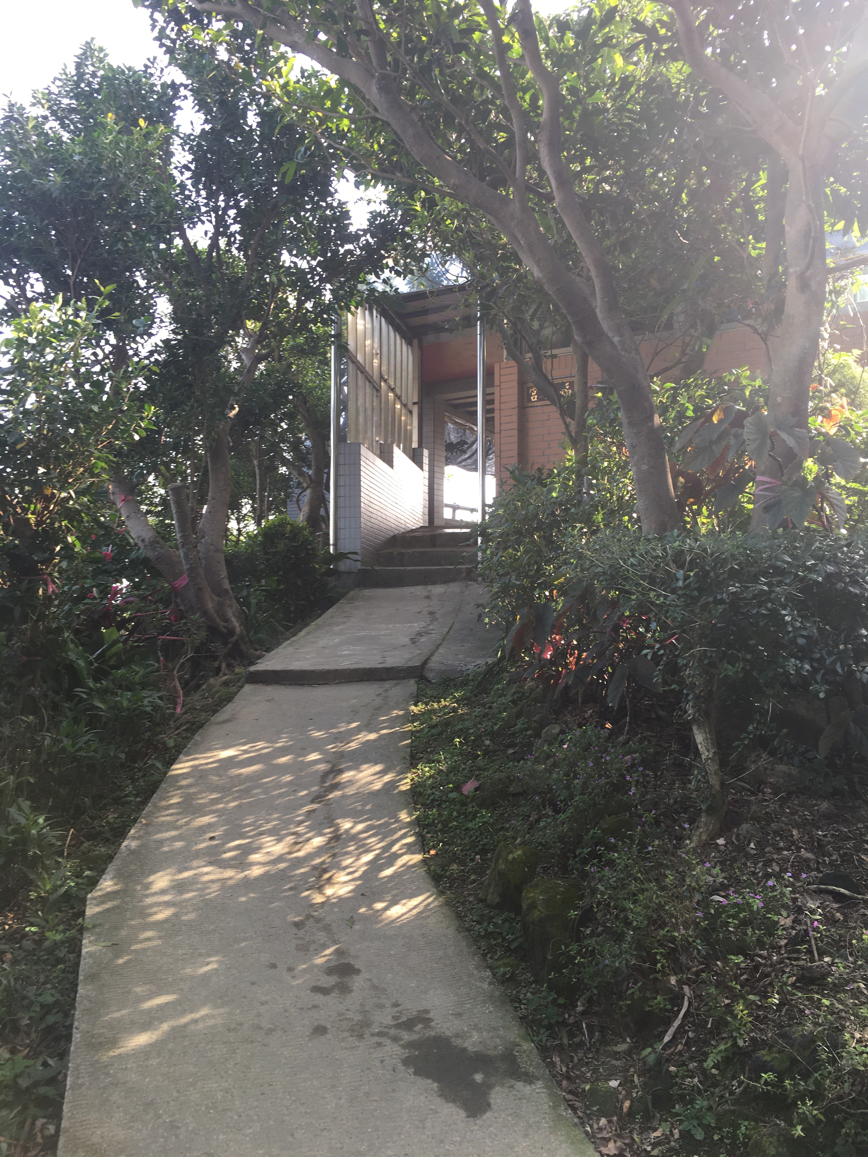
Passing across a small courtyard we went up the steps and immediately turned left through the doorway at top. The wall of the building is decorated with detailed historical engravings.
Turning right up the steps it seems as if the temple complex has taken the idea of slides next to stairs just one ‘step’ too far. Any child attempting to slide down this would have extreme friction burns at a minimum.

Following the steps up to the road it was easy to spot the trail going off up into the trees. (This is where the map was.)

The path goes up and down steps, the whole way the environment feels quite cultivated, it’s clear that someone maintains the plants. At this post and others we continued straight on following signs for Qilong Ridge.
Around 1km into the hike we arrive at Mount Datong temple.

As well as having an exercise area and a shelter the temple also provides tea and water for walkers passing through although they ask you to use reusable containers where possible. We stopped to have a drink and look at the view (the photo at the top of this blog).

Once rested (not that we needed resting really), we continued on, past the shelter, down some steps, up some steps and down again.
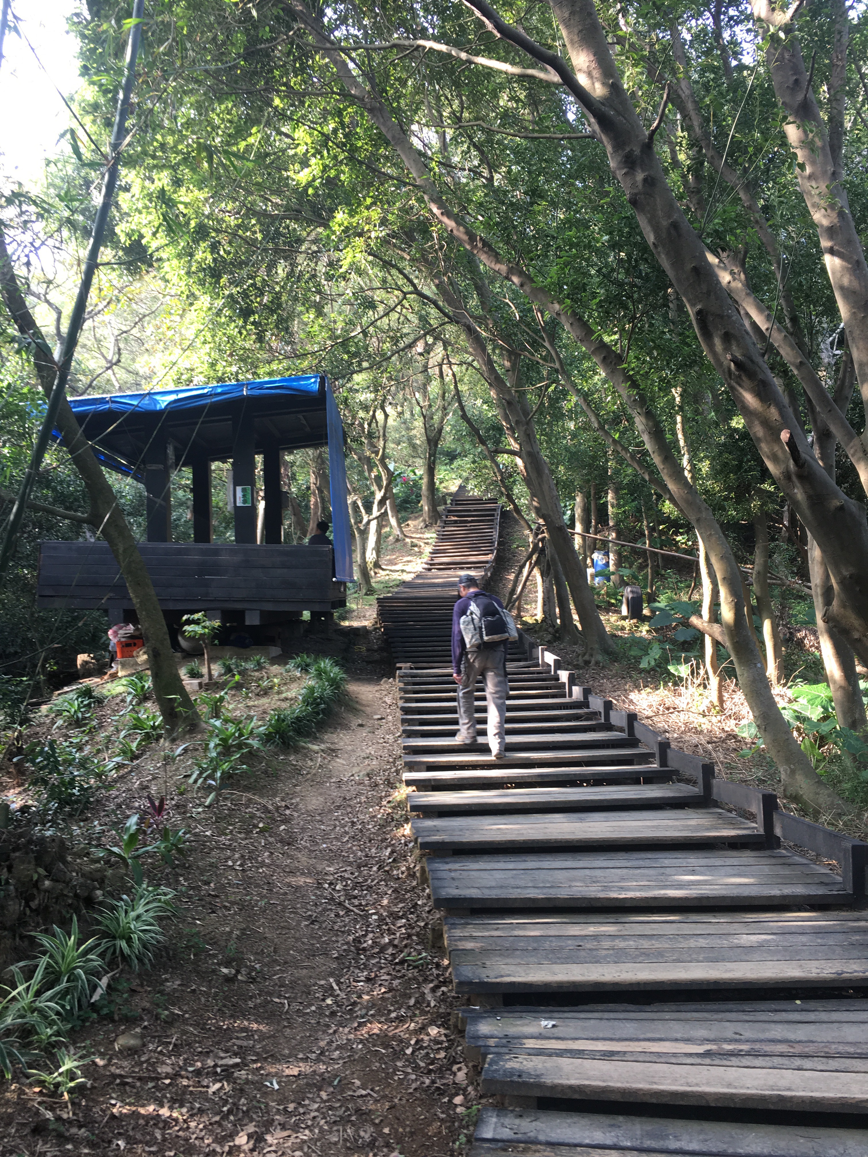
Up and down steps was the defining feature of this portion of the hike.

To the right there’s a viewing platform which would give you a of Xinzhiang district if trees hadn’t grown up to obscure the view since it was built.

All along this section of the trail there are barrels like this next to trees with fabric knotted around the trunks and draped into the barrels. I can only imagine that it’s some kind of watering mechanism but with Taipei’s rather wet weather I’m not sure it’s necessary.
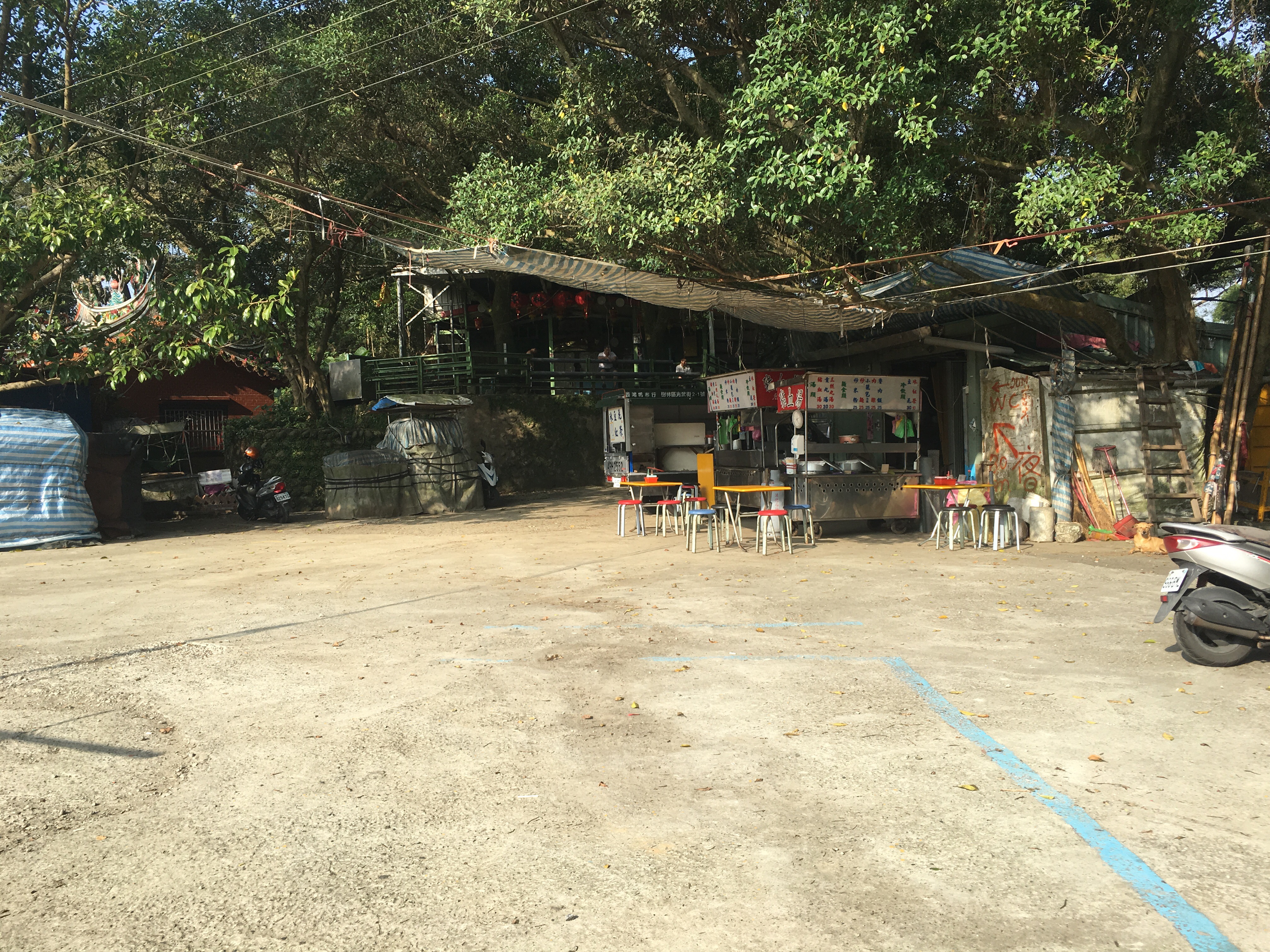
After walking a little further we reached the top. There was a small shop selling noodles and tofu pudding.

I had a bowl of cold tofu pudding. It came in a sweet soup with sweetened beans.
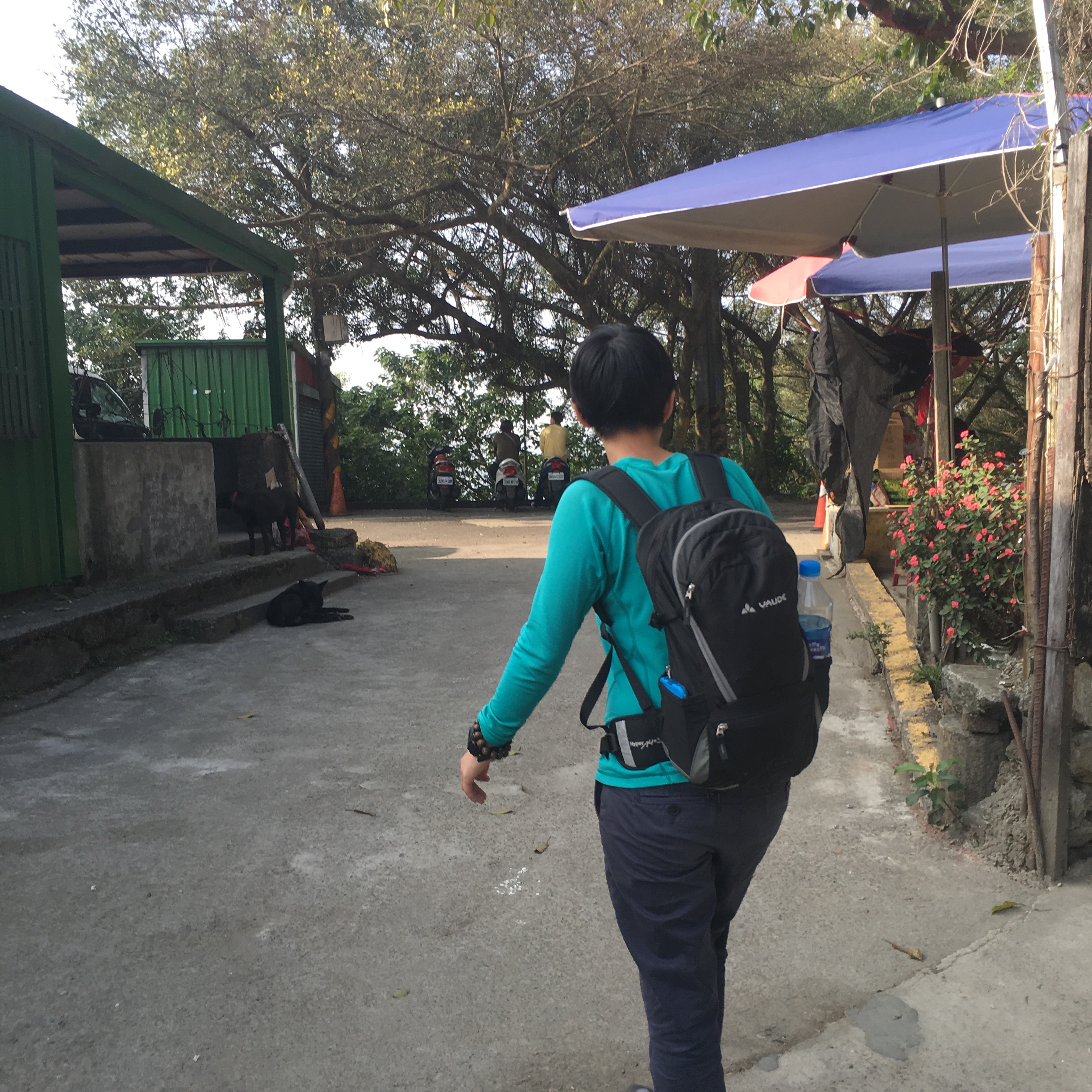
After paying we headed between the buildings. At the junction there’s a temple on the right but we turned left and went up hill for a bit instead.

Just on the right in the shadows was an old man selling dried fruits. We tried a few different kinds and ended up buying something tart and red. From here it’s pretty much just a case of following the road.
The road does a tight curve around another temple. (This place has a lot of temples, even by Taiwan standards.)
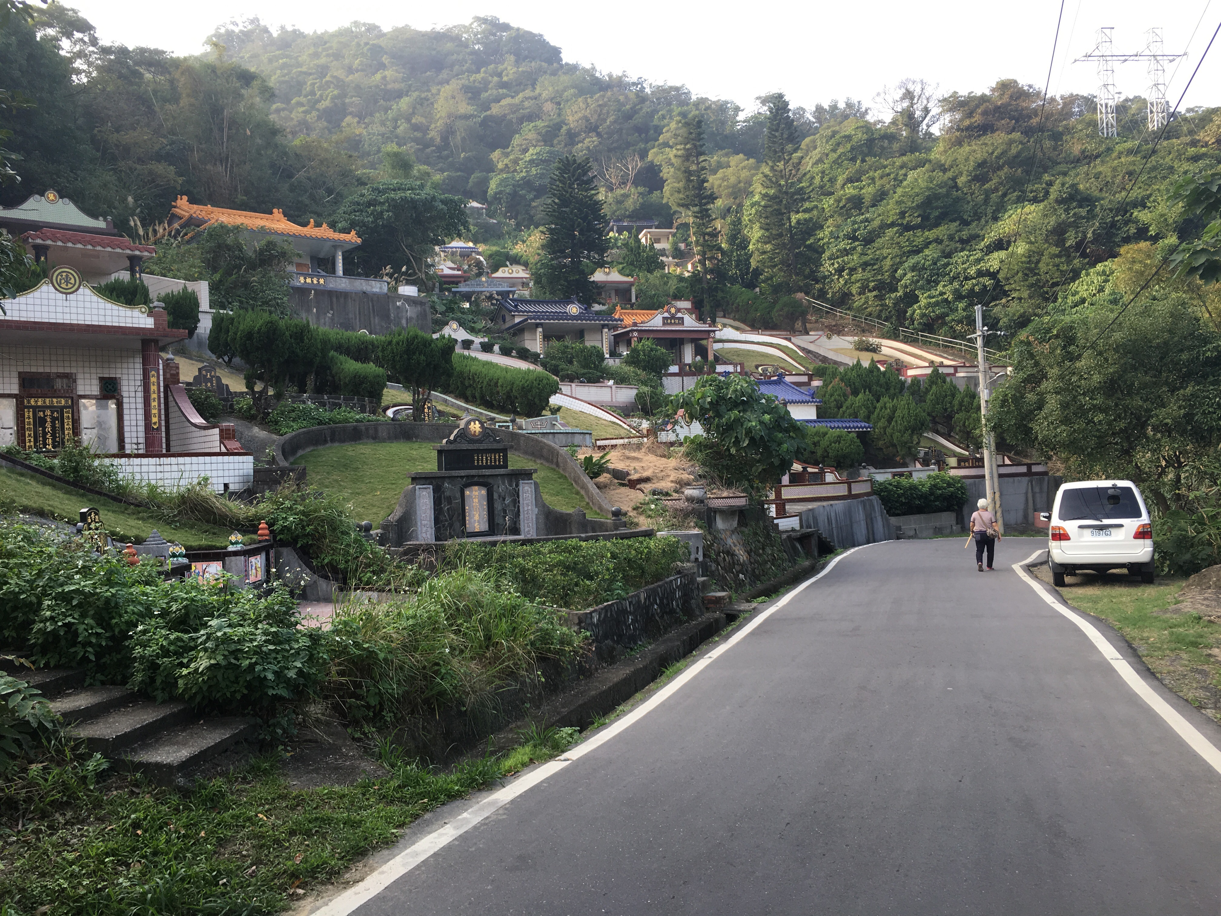
As the road goes down it weaves through some pretty extravagant graveyards. There are some truly ginormous graves. The road passes a karaoke bar and then another temple (this one has a large Buddha statue that you can see as you round the corner). Eventually, we found ourselves back at the steps going down to Nanliao Fude Temple.

Walking back down the steps to the temple complex it was possible to see the abandoned tennis courts, they would have been the tennis courts with the best view back when they were in use. Whilst I waited for Teresa to finish, I had a bit of a nosy at this group singing karaoke, the woman singing had brought her dog to enjoy the event too.

Just down the steps from the karaoke room there was a swimming pool, a beautiful old facility which can’t have been changed for many years. The man on duty there said that it’s open every day from morning to evening, perhaps I should go back and take a dip next time.
How to get to Mount Datong Hiking Trail
Google Maps address: 南寮福德宮 – this is the temple complex where we started. There’s a small amount of space to park in.
GPS location: N24 59.727 E121 24.718
Public transport: one way to get here would be to take a local train to Shulin Station and walk from the Shulin to the trail entrance – trains could be caught at Banciao or Taipei Main Station. Otherwise the 985 bus (San Chung Bus Company) runs from Haishan MRT station to the mouth of the road leading to Nanliao Fude Temple.
My new words learnt on this hike were:
- 溜滑梯 liū huá tī – slide (translate tells me that all three characters combined means ‘slide the slide’ which I like and that the characters taken individually mean slip, slip, ladder which I like even more).
- 私人 sī rén – private

Pingback: dinosaurs in a pool | taiwan trails and tales