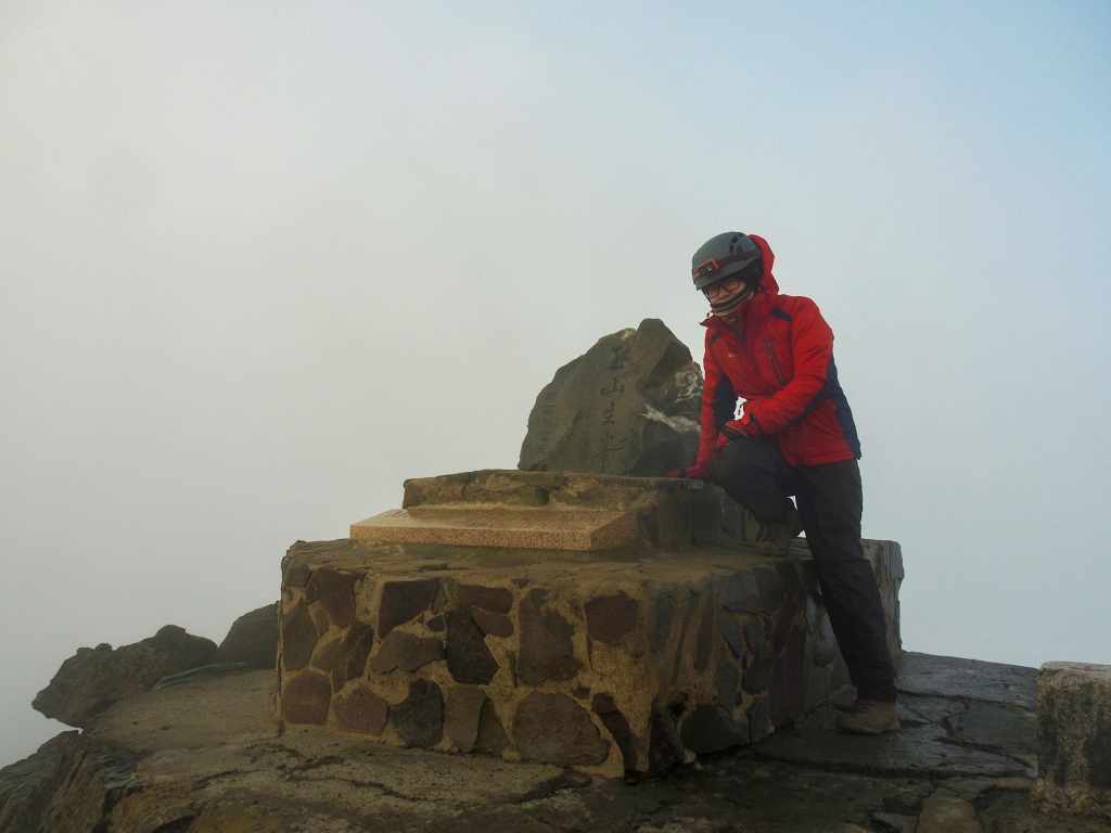
 The final day of the Mountains to Sea Greenway saw us climb the last couple of kilometres to reach the highest point of Taiwan—the 3,952-metre summit of Jade Mountain.
英文介紹
MOUNTAINS to SEA GREENWAY DAY 10 (山海圳國家級綠道D10)
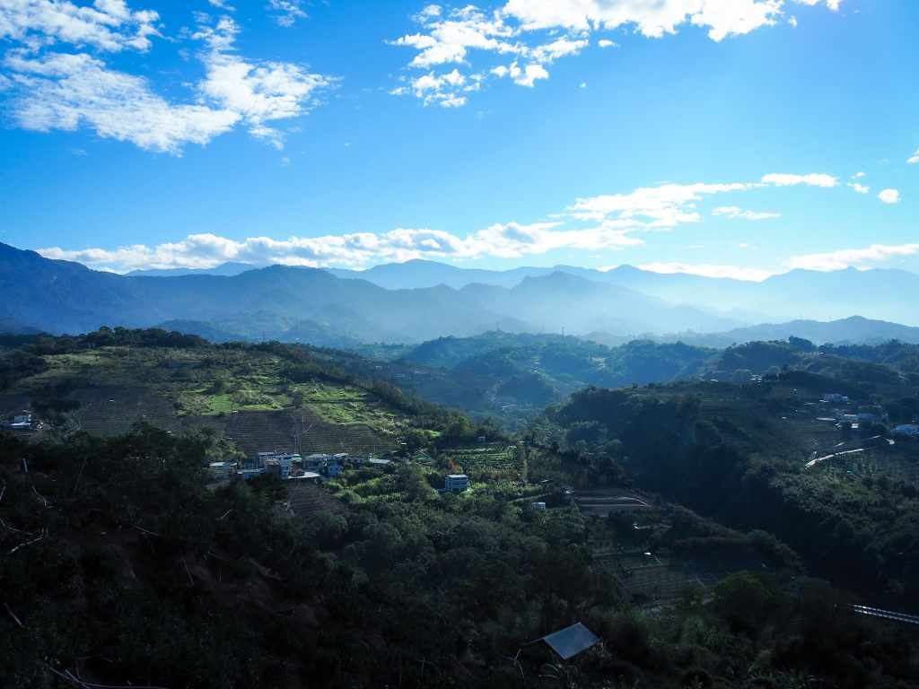
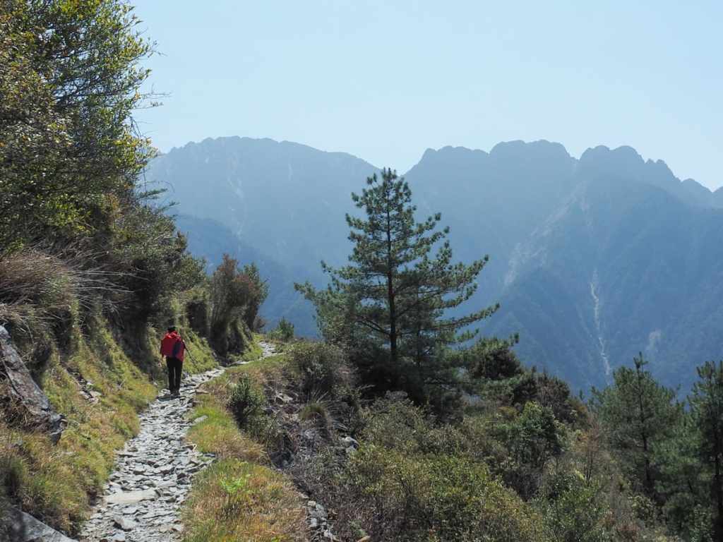 On the penultimate day of the MSTW, we made our way onwards and upwards to the summit of Jade Mountain. The morning's weather was perfect and the trail stretched out in front of us with beautiful scenery all around.
MOUNTAINS to SEA GREENWAY DAY 9 (山海圳國家級綠道D9)
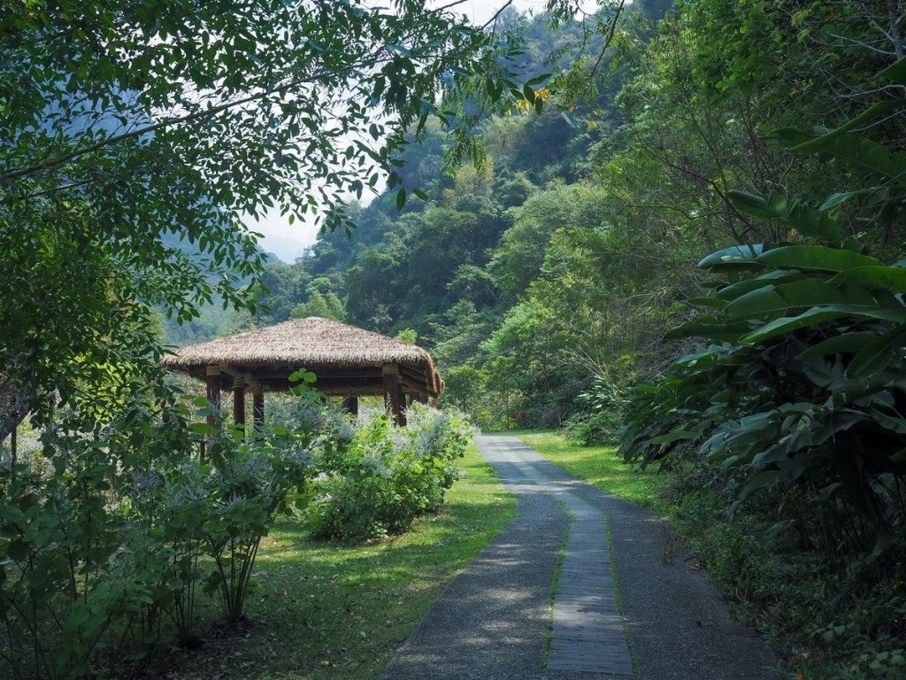
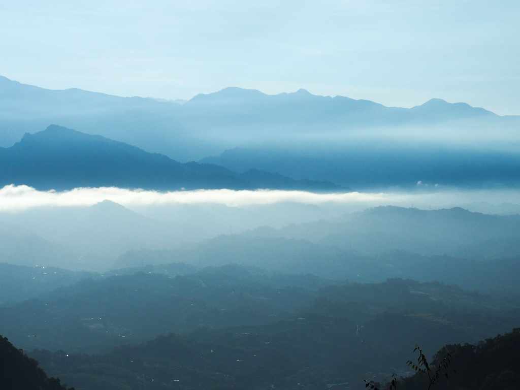
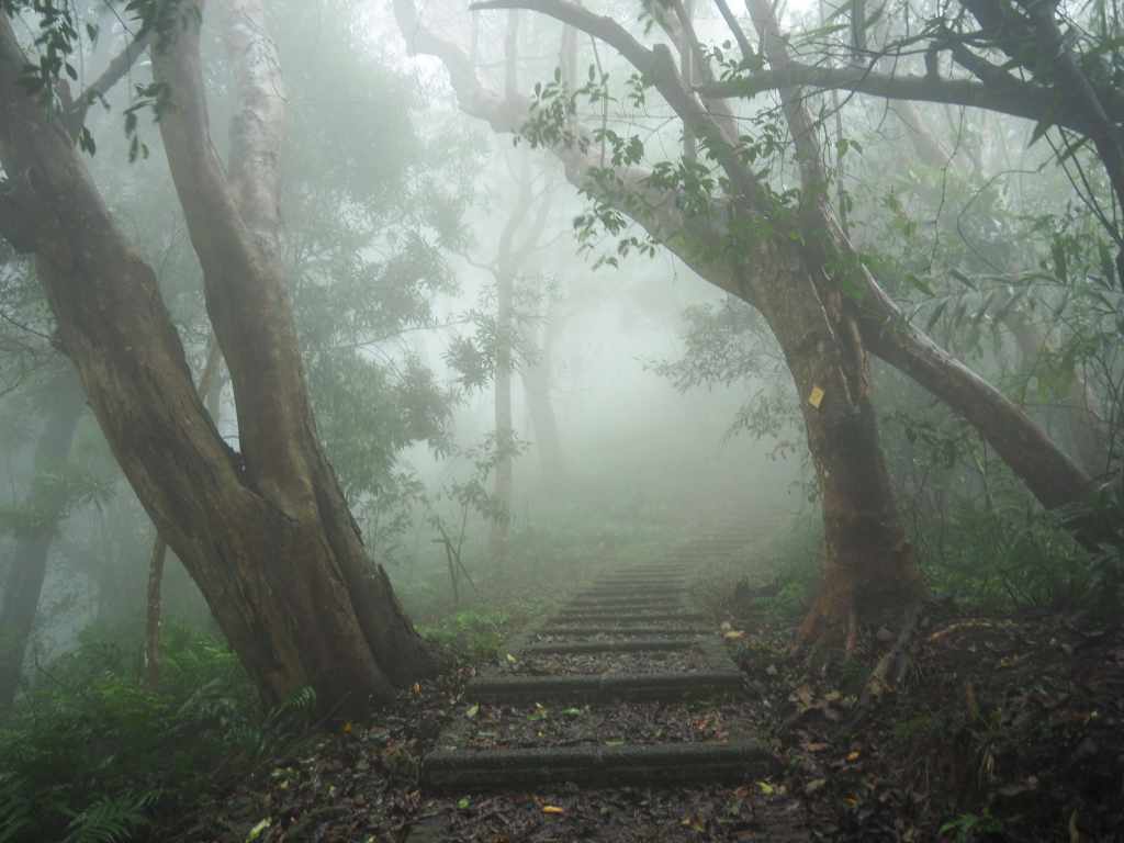
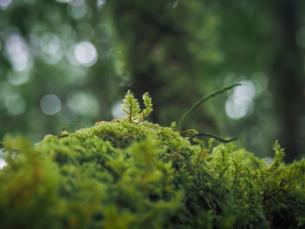 Day nine on the MSTW was challenging and beautiful in equal measure. I ended up taking an alternative route that saw me passing through the kind of achingly beautiful forest scenery that categorically must be inhabited by mountain spirits of some kind.
MOUNTAINS to SEA GREENWAY DAY 8 (山海圳國家級綠道D8)
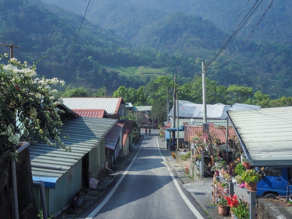
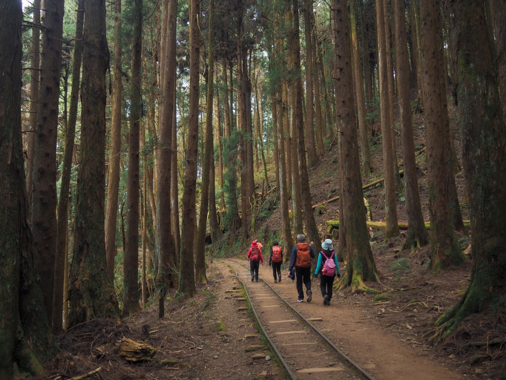 Day eight on the MSTW was when things start to get really, properly scenic. This day completes the last couple of sections of the Tribal Trail as the route makes its way ever onwards towards the high mountains. The highlight of this day's walking is the charming and forested Tefuye Historic Trail.
MOUNTAINS to SEA GREENWAY DAY 7 (山海圳國家級綠道D7)
 Day seven on the MSTW follows County Highway 169 from the remote village of Lijia to the marginally less remote village of Dabang. Along the way, there are lots of tea fields and Dabang itself makes a perfect place to take a rest day to recover and enjoy the slower pace of life.
MOUNTAINS to SEA GREENWAY DAY 6 (山海圳國家級綠道D6)
 Day six on the MSTW was a long day which mixed road walking with old indigenous trading routes. Highlights along the way are the slice of paradise that is Danaiku Nature Ecological Park, and the many rope bridges of Limei Refuge Trail.
MOUNTAINS to SEA GREENWAY DAY 5 (山海圳國家級綠道D5)
 Day five on the MSTW was a short day, but it marks a distinct change as the scenery segues from the flatter and more engineered landscape of the Canal Trail section to the wilder and steeper surroundings of the Tribal Trail section.
MOUNTAINS to SEA GREENWAY DAY 4 (山海圳國家級綠道D4)
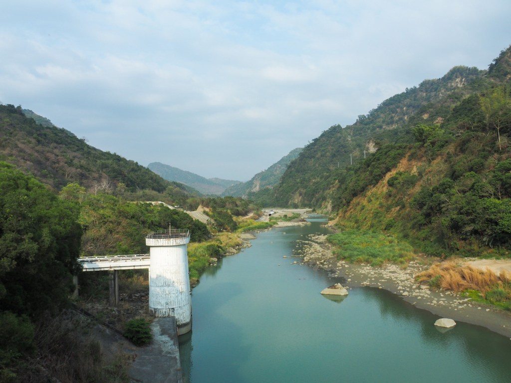
 Day four on the MSTW carries you from the tail of Zengwen Reservoir to if not its mouth, then at least its shoulder. The day ends in Dapu, which is the last large settlement before you enter the mountainous villages of the Tsou People.
MOUNTAINS to SEA GREENWAY DAY 3 (山海圳國家級綠道D3)
 Day three on the MSTW sees you follow the Canal Trail further inland as you retrace the route taken by Hatta Yoichi and his team of engineers as they planned out how to transport water from Zengwen Reservoir to the dry plains below.
MOUNTAINS to SEA GREENWAY DAY 2 (山海圳國家級綠道D2)
 Leaving behind the Inner Sea portion of the trail and moving on to the Canal portion, day two on the MSTW was another easy bike ride through increasingly less urban or industrial, and more rural or agricultural landscape.
MOUNTAINS to SEA GREENWAY DAY 1 (山海圳國家級綠道D1)
 Day one on the MSTW is an easy bike ride inland over ground formerly covered by Taijiang Inner Sea.
RAKNUS SELU TRAIL B ROUTE – LONGTAN LAKE to SANKENG OLD STREET (樟之細路B線:龍潭大池/三坑老幾)
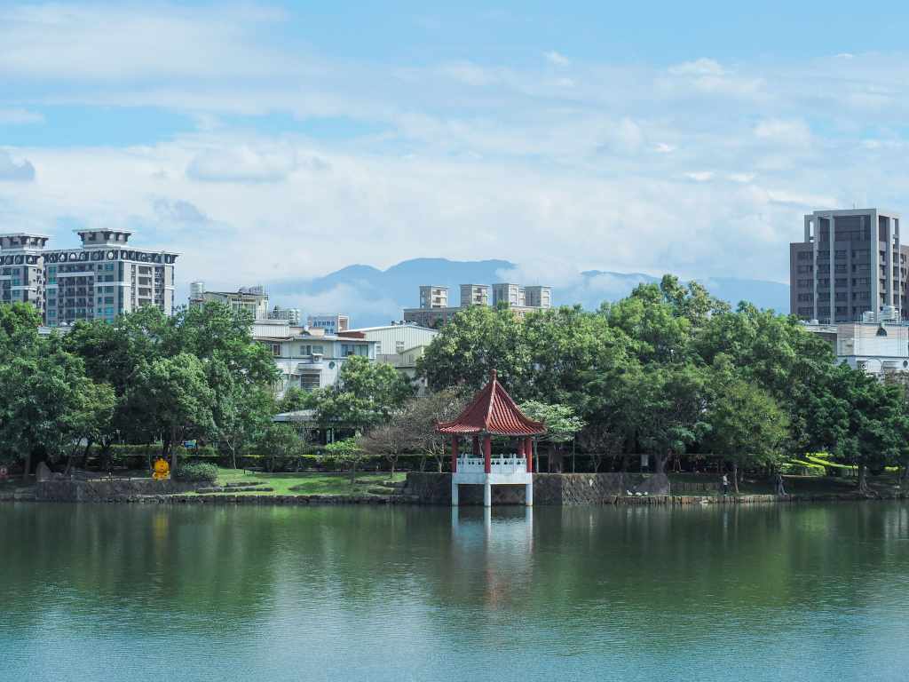 The Raknus Selu Trail's B route kicks off with a gentle wander around Longtan Lake. In fact, water is a running theme through this day's walking. There's a lake, streams, and the fast-flowing torrent of Shimen Big Canal.
RAKNUS SELU DAY 12 via GINGER GARDEN (樟之細路D12-薑麻園線)
 Day 12 on this version of the route starts off at Ginger Garden, climbs up to Guandao Mountain via a lovely historic trail before following a winding road above Liyutan Reservoir on its way back to join Provincial Highway 3.
RAKNUS SELU DAY 11 via GINGER GARDEN (樟之細路D11-薑麻園線)
 This post details one of two options for day 11 on the Raknus Selu Trail. It takes walkers on some lovely trails through the hills of Dahu Township and ends at the touristy Ginger Garden.
RAKNUS SELU DAY 12 via LAOGUANLU (樟之細路D12-老管路線)
 This post and the previous post detail the easier of the two options. This version of day 12 is both short and easy.
