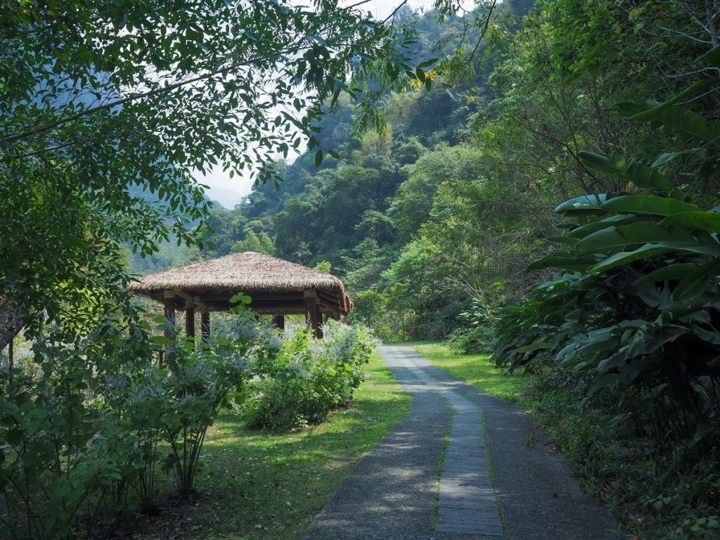
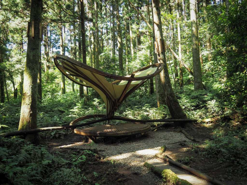
 Day six on the MSTW was a long day which mixed road walking with old indigenous trading routes. Highlights along the way are the slice of paradise that is Danaiku Nature Ecological Park, and the many rope bridges of Limei Refuge Trail.
SPECIAL HIKES
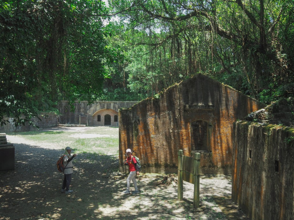
LIGHTHOUSES, BAIMIWENG FORT and XIANDONG ZUISHENG CAVE TEMPLE (基隆走走:基隆燈塔/球子山燈塔/白米甕砲臺/仙洞巖最勝寺)
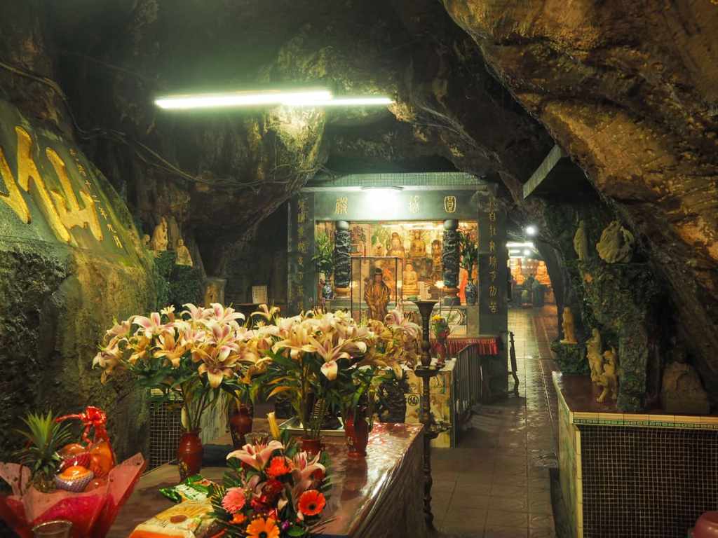 This trail in Keelung's Zhongshan District isn't the prettiest walk I've ever done, but it certainly packs in a lot of interesting spots into its short length. There are two lighthouses, port views, a fort, and a subterranean temple.
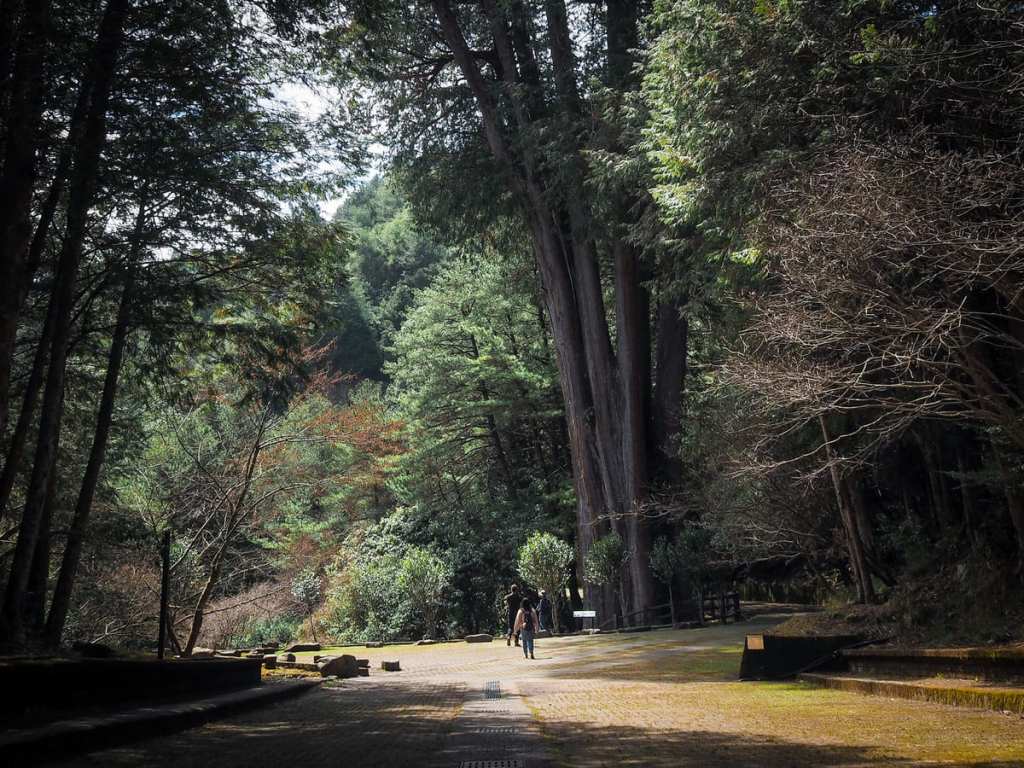
ZHONGLOU HISTORIC TRAIL (鐘樓古道)
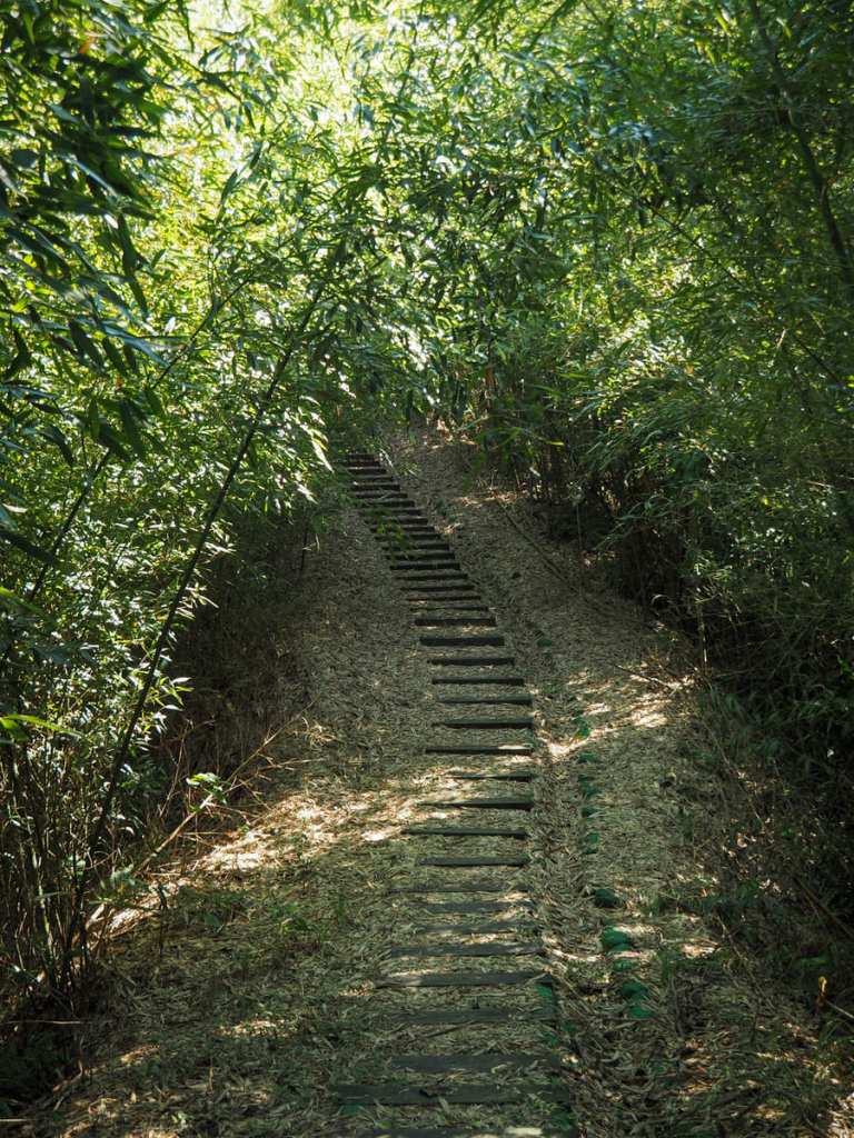 This short wander through bamboo forest offers a pleasant way to stretch your legs as part of a visit to the small town of Xindian in Miaoli's Shitan Township.
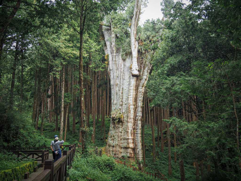
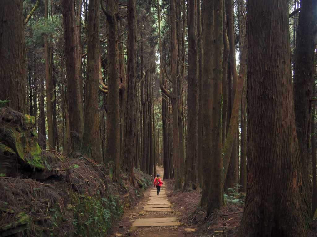
SMANGUS GIANT TREES (司馬庫斯巨木步道)
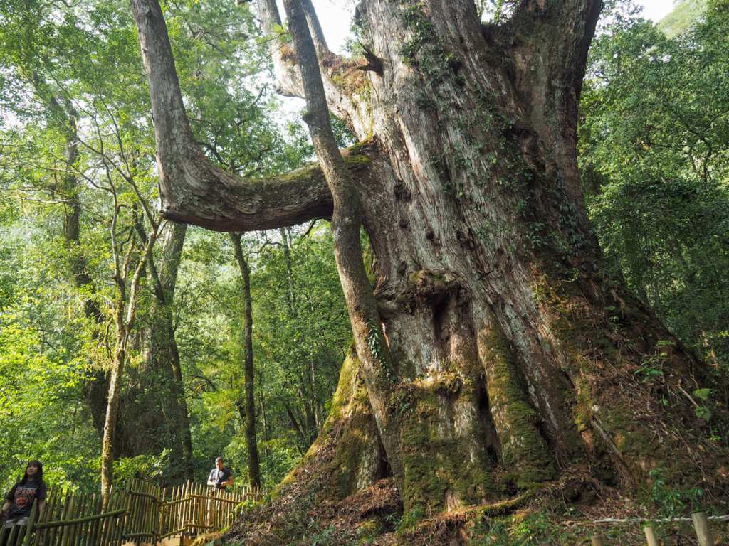 This trail in Hsinchu's hilly Jianshi District has been voted one of the best trails in Taiwan by users of the popular Hiking Biji app, and for good reason. This moderately easy trail combines beautiful forest scenery with giant trees, abundant nature, and an aboriginal mountain village.
MOUNTAINS to SEA GREENWAY DAY 5 (山海圳國家級綠道D5)
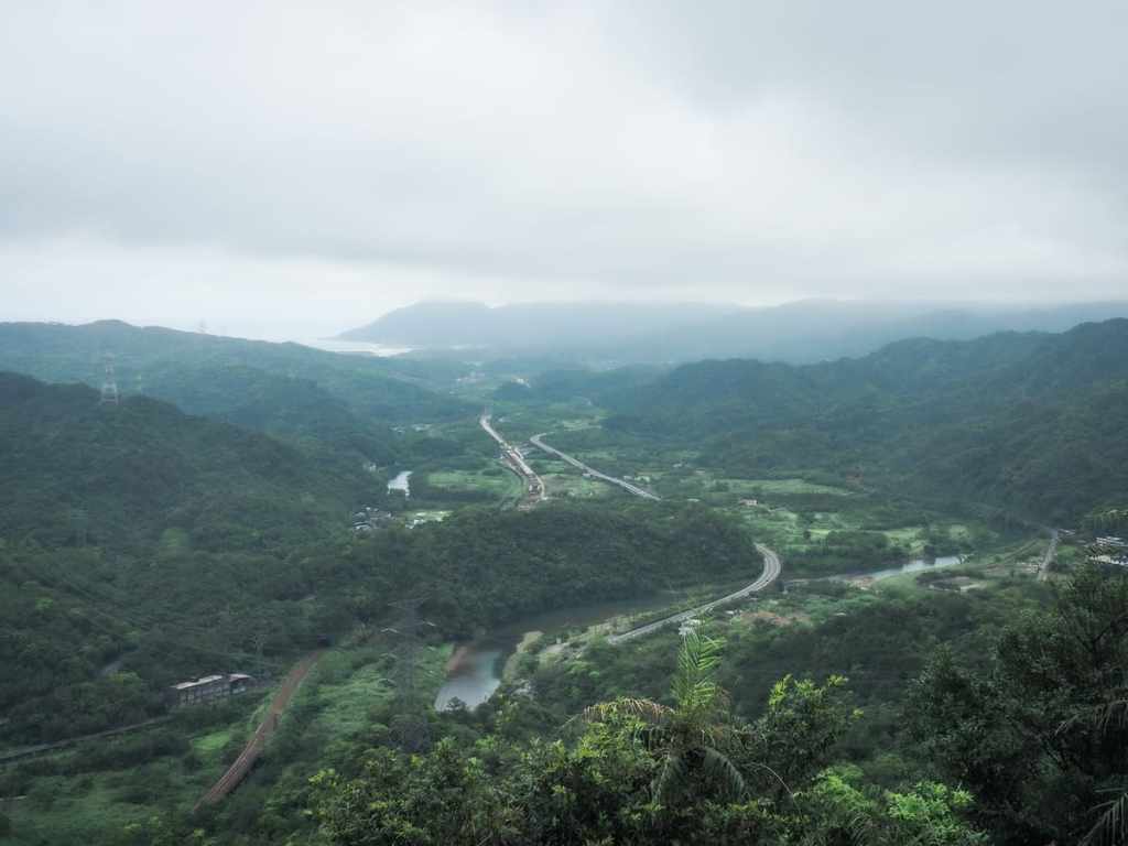
 Day five on the MSTW was a short day, but it marks a distinct change as the scenery segues from the flatter and more engineered landscape of the Canal Trail section to the wilder and steeper surroundings of the Tribal Trail section.
BAT HILL (蝙蝠山)
 The hike to Bat Hill Lookout from Shuangxi is a short and (mostly) easy walk that can be combined with an exploration of this historic riverside town in New Taipei.
DEVIL’S CAVE and STONE BAMBOO SHOOT PEAK (魔神仔洞/石筍尖)
 This odd little loop in New Taipei's Pingxi District is a thrilling mix of climbing, views, and old mining remains.
SHUISHAN GIANT TREE TRAIL (水山神木步道)
 The Shuishan Giant Tree Trail is an easy walk in the Alishan National Forest Recreation Area that is suitable for hikers of all levels of experience. The trail takes you through old forests and along old railway tracks.
LOVERS’ LAKE ROUND-MOUNTAIN TRAIL (情人湖環山步道)
 Lovers' Lake is a natural lake in the hills to the north of Keelung. It is encircled by two trails—a shorter and easier one that sticks close to the lakeshore called the Round Lake Trail, and a longer one that takes in more ocean views called the Round Mountain Trail. This post covers the second of those two options.
DONGYANSHAN FOREST TRAIL (東眼山森林知性步道)
 The Dongyanshan Forest Trail is a gentle walk that is easy enough to be suitable for families. Along the way you can learn about some of the historical techniques employed in the logging industry.
TEFUYE HISTORIC TRAIL (特富野古道)
 Tefuye Historic Trail has been reinvented several times over the years. It started off as a hunting and trading route for the Tsou aboriginals who live in the region. Later, the Japanese turned it into a logging railway, and now it has a third life as a much-loved hiking trail.
LIJIA ROMANTIC CAVE TRAIL (里佳風流洞步道)
 The small village of Lijia—known as Niae’ucna to its 300-odd Tsou inhabitants—sits deep in the hills of Chiayi County. The Romantic Cave Trail takes you on a brief wander past a couple of spots that hold spiritual or cultural significance to the tribesfolk, and as such, it is a great way to simultaneously enjoy nature and learn more about the village.
NANYA MOUNTAIN and FRONT TEETH ROCKS (南雅山/門牙岩)
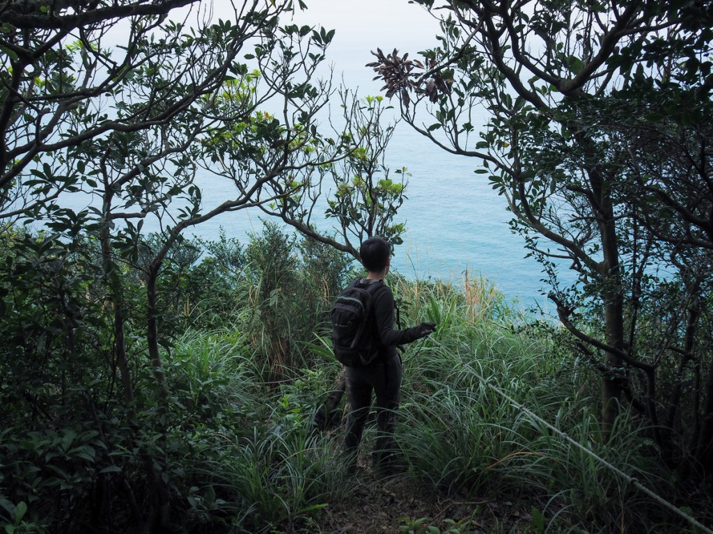 This exciting trail on Taiwan's northeastern coast offers hikers sea views, fun climbs, and some interesting rock formations.
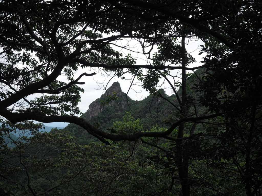
LULIN MOUNTAIN and LINZHI MOUNTAIN (鹿林山/林趾山)
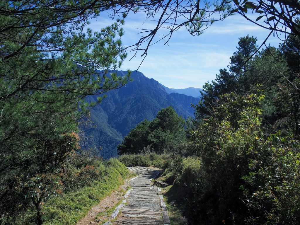 This scenic and permit-free walk offers hikers the chance to enjoy the beauty of Yushan National Park without having to plan the trip months in advance.
XUESHAN SACRED TREE TRAIL (雪山神木)
 Xueshan sacred tree is a giant tree is a century-old giant Formosan cypress that sits deep within Daxueshan National Park. It stands in a small clearing, accessible via a 1.5-kilometre stroll down an old track, and — thanks to the fact that there used to be a carpark down here — you can stand back and take in the whole tree.
