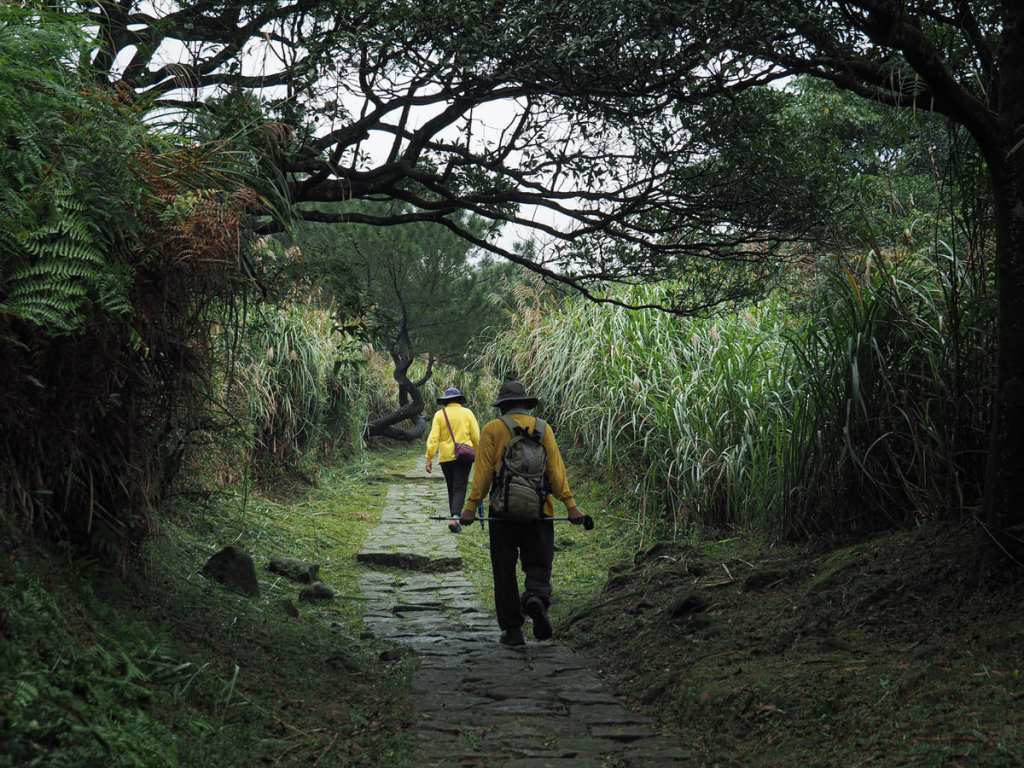
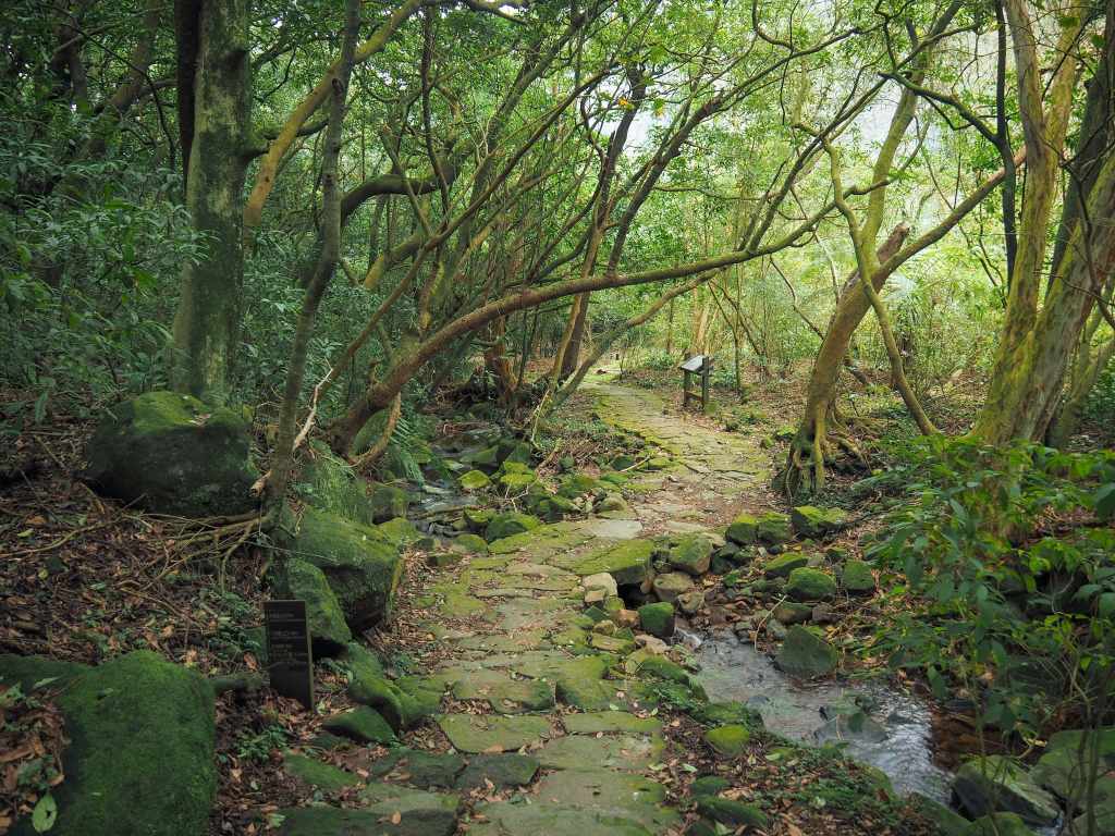
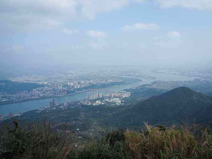
 漁人古道是一條歷史悠久的 30 公里商道,連接台灣東北海岸的金山與士林。本文將介紹其中的南段路線,從擎天崗通往士林。
Author: taiwantrailsandtales
FISHERMAN’S TRAIL: SOUTHERN SECTION (魚路古道南段)
The Fisherman’s Trail is a historic 30-kilometre trading route connecting Jinshan on Taiwan’s northeastern coast with Shilin. This post covers the southern section connecting Qingtiangang with Shilin.
魚路古道北段:擎天崗至金山老街
 魚路古道是一條歷史悠久的30公里貿易路線,連接台灣東北海岸的金山與士林。本文介紹從擎天崗到金山的北段路線。
FISHERMAN’S TRAIL: NORTHERN SECTION (魚路古道北段)
The Fisherman’s Trail is a historic 30-kilometre trading route connecting Jinshan on Taiwan’s northeastern coast with Shilin. This post covers the northern section connecting Qingtiangang with Jinshan.
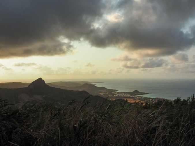
好望角
 這條位於苗栗後龍鎮的短程海岸步道,擁有IG網美景點、高聳的風力發電機,還有改建的舊鐵路隧道,絕對能讓你玩得盡興。全程不到3公里,是個很棒的輕鬆健行選擇,也很適合在南北長途開車途中下車活動筋骨,或是來這裡欣賞夕陽美景。
CAPE OF GOOD HOPE (好望角)
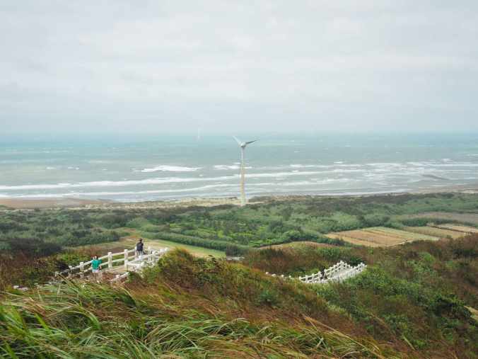 This short almost coastal walk in Miaoli's Houlong Township has Instagram-famous views, towering turbines, and a converted railway tunnel to keep you entertained. At just under 3km, it's also a great little way to stretch your legs and/or catch the sunset if you're passing through on a long drive between the north and the south.
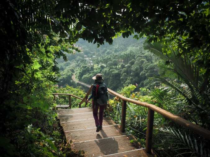
台灣山毛櫸國家步道
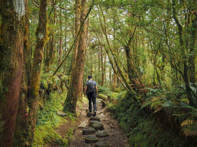 位於太平山國家森林遊樂區最深處,台灣山毛櫸國家步道是一條美麗的森林步道,帶領健行者穿越據信可追溯至末次冰河時期的古老山毛櫸林。
TAIWAN BEECH NATIONAL TRAIL (台灣山毛櫸國家步道)
Tucked snuggly into the innermost reaches of Taipingshan National Forest Recreation Area, Taiwan Beech National Trail is a pretty forested walk which takes hikers through an ancient stand of beech trees that is thought to date back to the last Ice Age.
大山母山步道
 大山母山是台灣最南端的小百岳,是一條短程而優美的健行路線,可眺望海岸風光。
MOUNT DASHANMU (大山母山)
Mount Dashanmu, Taiwan's southernmost Xiao Bai Yue, is a short and sweet hike with views overlooking the coast.
獨立山國家步道
 獨立山國家步道從樟腦寮車站一路攀升至獨立山車站,途中多次與阿里山林業鐵路交會,還可以繞道前往一座寺廟裡的大型登山客廚房。
MOUNT DULI (獨立山)
Mount Duli National Trail takes hikers up from Zhangnaoliao Station to Dulishan Station, crossing paths with Alishan Forestry Railway at several points, with a possible detour to a huge hikers’ kitchen in a temple.
觀音山步道
 觀音山從新北市八里和五股區的淡水河岸拔地而起。它的綽號是硬漢嶺,因為攀爬此山以前被用作軍警人員的強化訓練活動,對於不熟悉台灣陡峭階梯的人來說,很容易理解原因。
GUANYIN MOUNTAIN (觀音山)
Guanyin Mountain rises from the banks of Tamsui River in New Taipei’s Bali and Wugu Districts. Its nickname is tough guy peak on account of the fact that climbing it was previously used as an entoughenmemt activity for military police officers, and for those unacquainted with Taiwan’s steep, steep steps, it’s clear to see why.
DAGUI WATERFALL RIVER TRACE (大鬼瀑布溯溪)
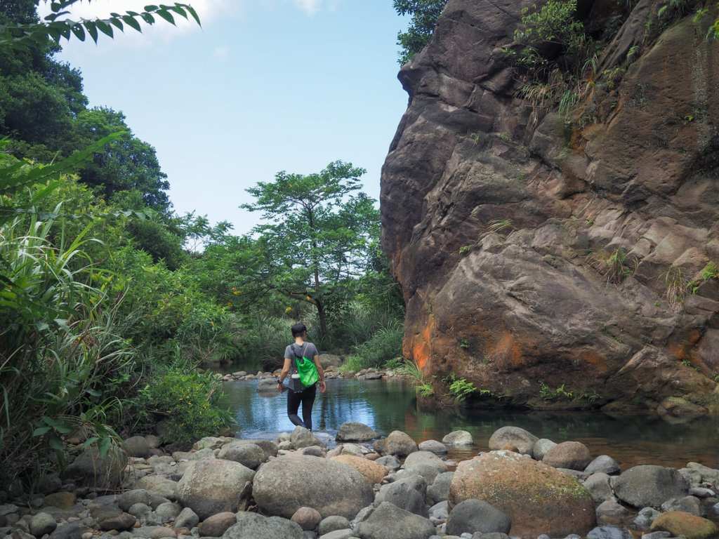 With Taiwan's summers dragging on for a seemingly infinite length of time, there's nothing more appealing than immersing yourself in the nearest body of water and this easy river trace in New Taipei's Ruifang District is a top spot to stop off on a hot day.
