Tucked snuggly into the innermost reaches of Taipingshan National Forest Recreation Area, Taiwan Beech National Trail is a pretty forested walk which takes hikers through an ancient stand of beech trees that is thought to date back to the last Ice Age. The first two-thirds of the walk are relaxing and gentle, while the final third requires hikers to trek down and then up to reach the beech viewing trail.
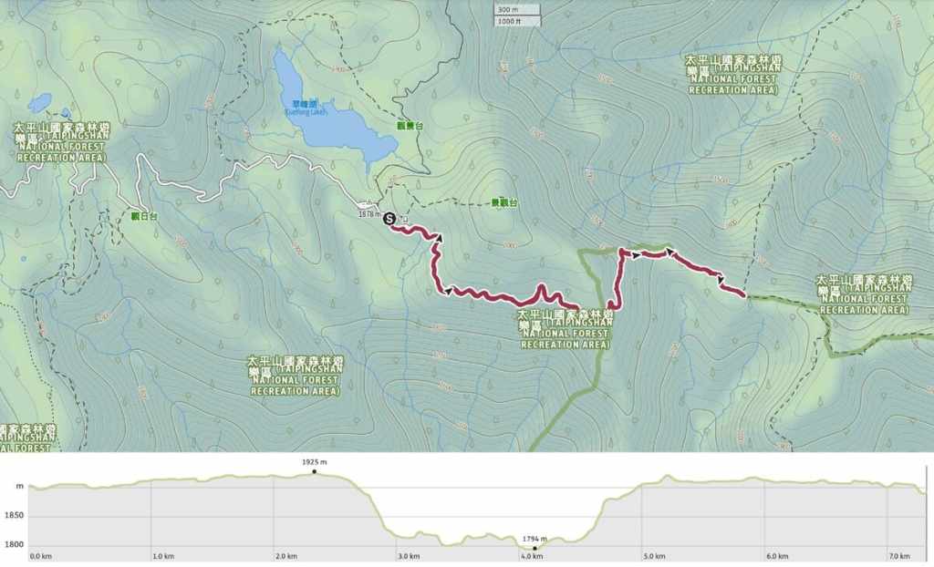
Distance: 7.3 kilometres
Time: 2½-3½ hours — We were at the faster end of that window.
Difficulty (regular Taiwan hiker): 3/10 — This is a pretty easy trail for someone used to walking in Taiwan. It’s well-maintained, easy to follow, and only steep in a couple of spots.
Difficulty (new Taiwan hiker): 2/10 or 5-6/10 — If you stick to just the first 2.3 km, getting to the trailhead would be the biggest challenge for people new to hiking in Taiwan. If you decide to continue on to the end of the trail, you’ll have to contend with some steep steps, but nothing dangerous or hard to follow.
Total ascent: Around 230 metres.
Water: On a warm autumn day, we got away with just 0.5L each, but a little more might be a good idea in summer. Some snacks would also help sweeten the return climb, too. You will need to make sure you take your supplies with you, since there’s nowhere to buy anything or stock up once you hit the trailhead (and the park’s store over near Taipingshan Village has a very sorry selection of snacks).
Shade: A few exposed stretches, but mostly shady.
Mobile network: My network (Taiwan Mobile) was absent for most of the trip, but Teresa’s Chunghwa was OK.
Enjoyment: Even outside of beech season, this is a very pretty walk. However, if it’s not beech season and you’ve only got time for one walk in this part of Taipingshan National Forest Recreation Area, I’d pick either Cueifeng Lake Circular Trail or Mount Wangyang (or a combination of those two), on account of the more abundant mosses and the potential for enjoying the view in clear weather.
Other: The time window for seeing yellow beech leaves is pretty short. It’s usually around the end of October or early November, but the changing seasons are making it a little less predictable.
Bathroom facilities: There is a toilet block at the start of the trail.
Route type: There and back.
Permit: None needed, but you do need to pay to enter the park.
Jump to the bottom of this post for a trail map and GPX file.
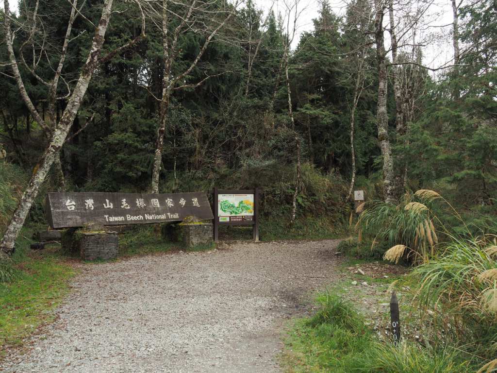
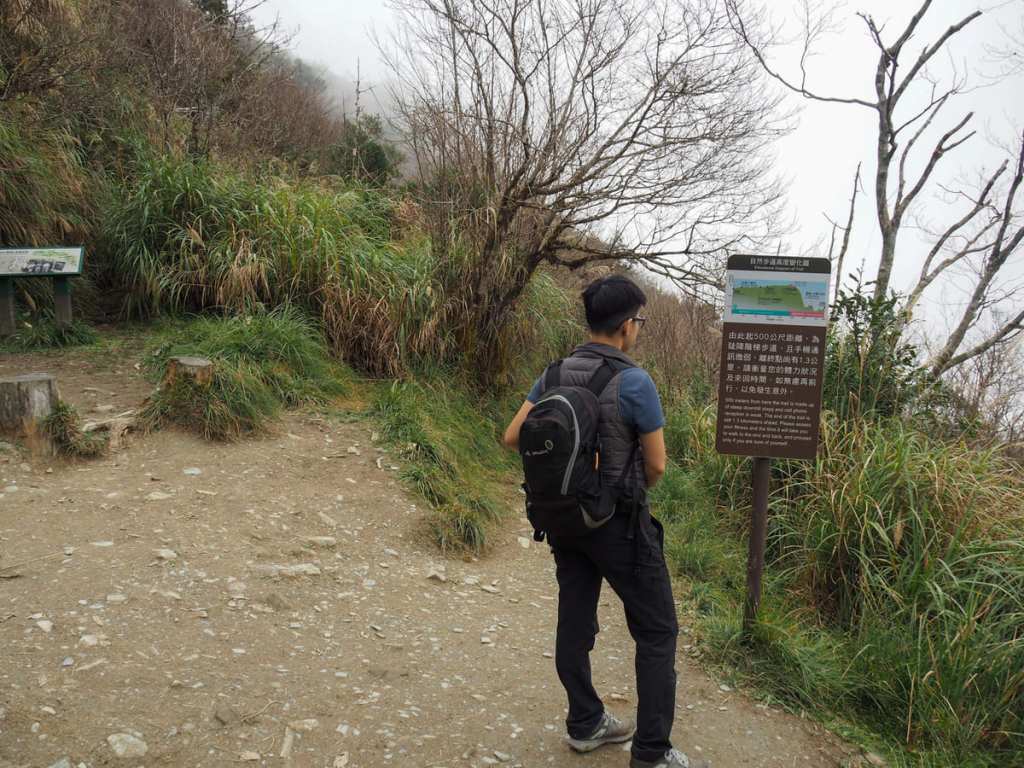
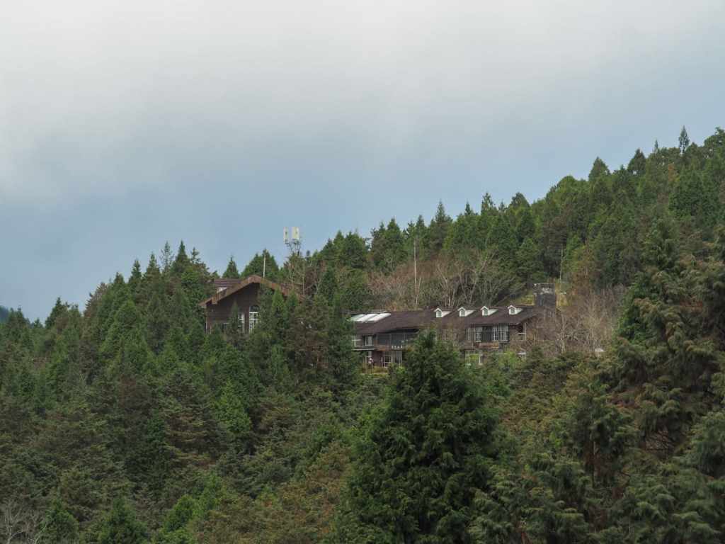
The Taiwan Beech National Trail is one of three walks which start from the carpark and helipad by Cueifeng Lake. More specifically, this one starts from just below Cueifeng Villa (one of the accommodation options open to visitors hoping to stay in Taipingshan National Forest Recreation Area).
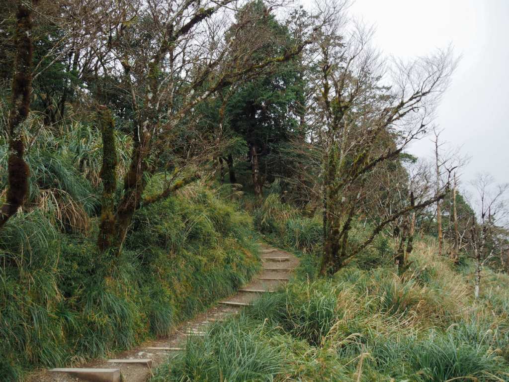
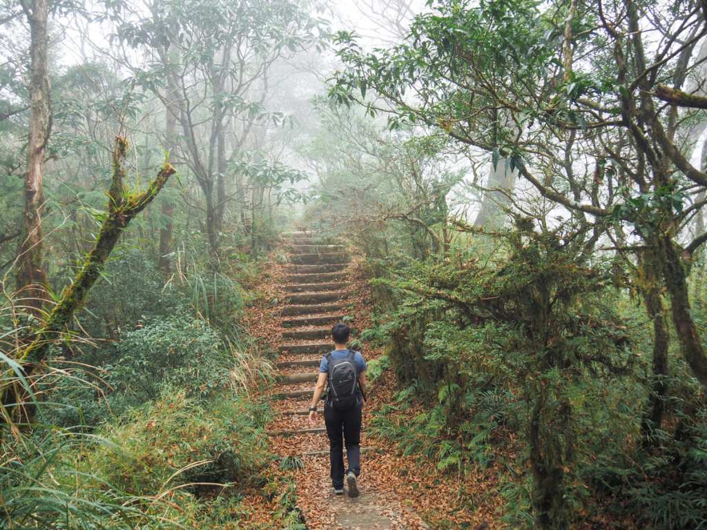
The first 2.3km of the trail climbs so slowly and gradually that it feels almost flat.
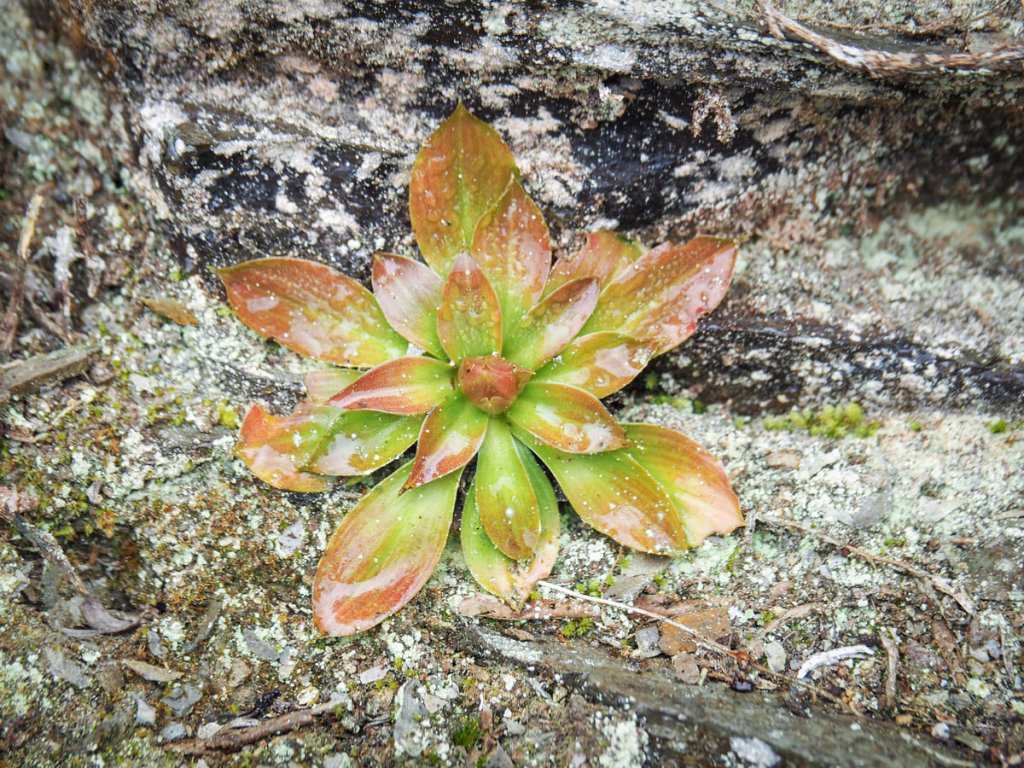
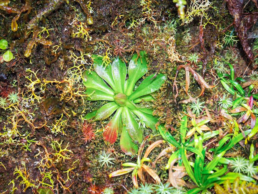
Plants growing on a rock face beside the trail.
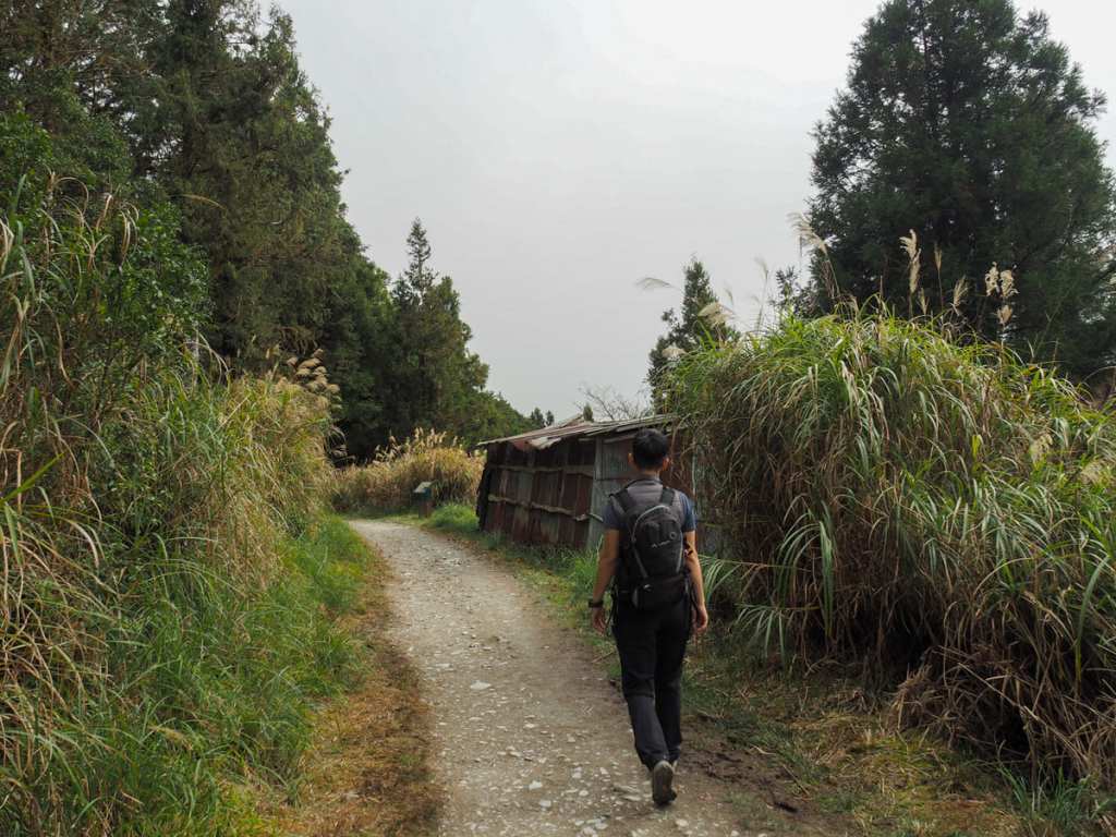
After about fifteen minutes of walking, we passed this abandoned logging workers’ cabin. Looking at it now with its gappy frame and rusting walls, I can’t imagine it was a particularly comfortable place to stay.

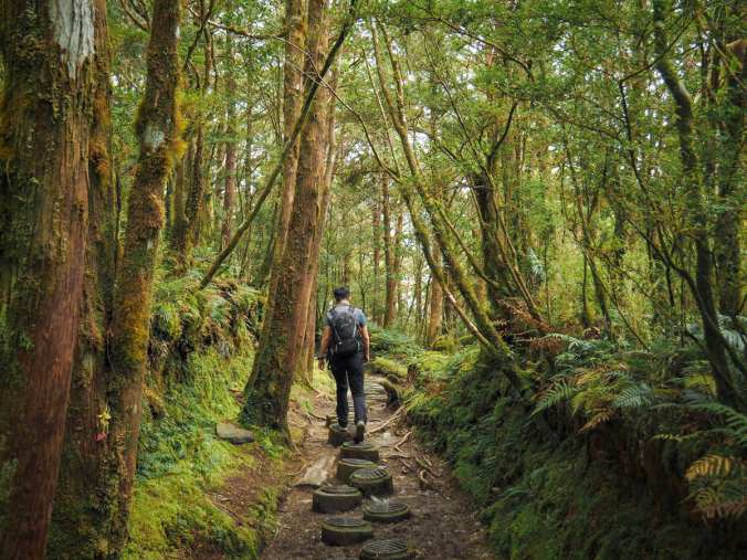
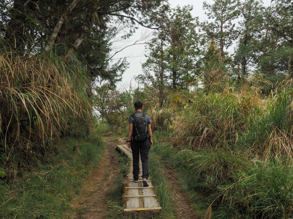
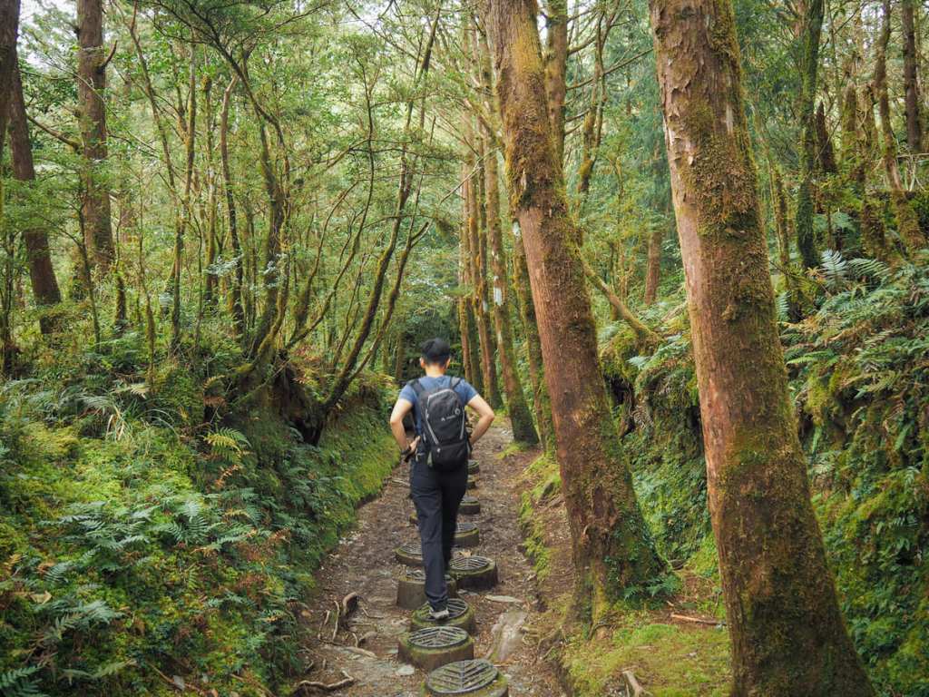
Much of the trail along the first 2.3km has a kind of raised walkway in the form of these sections of log with metal treads hammered into them. The metal has been worked into a pattern that’s meant to resemble the shape of veins in beech leaves.
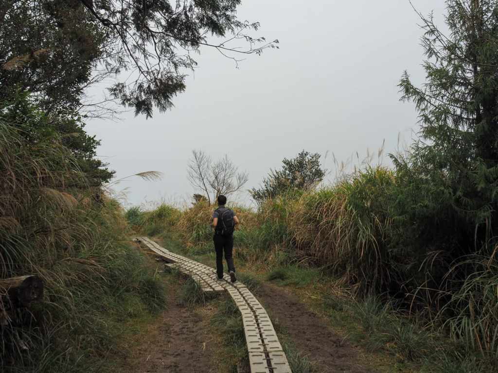
In other sections, the walkway consists of plants with metal ribs. Walking on these can help to protect the soft earth from the effects of too many trampling feet.
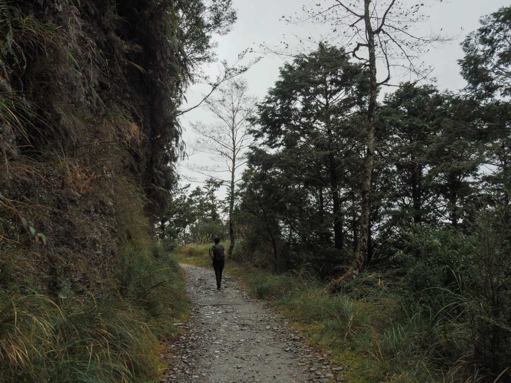
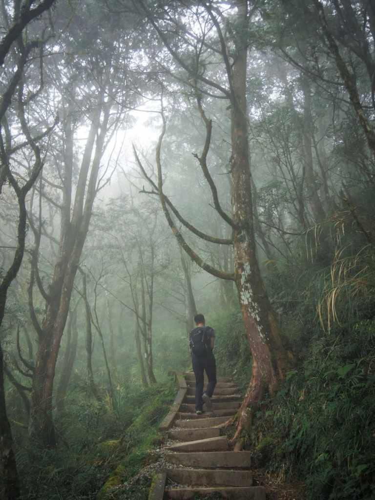
After about 45 minutes, we reached a clearing with two signs. One pointed out the remains of the logging railway, the other indicated that the trail gets considerably harder from this point onwards. It literally classifies the first part of the walk as “slow and leisurely walking” and the second part as “huff and puff walking”. If this wasn’t enough to warn you of what to expect, the elevation profile shown on the map seems to suggest that the trail dives off a cliff at this point.
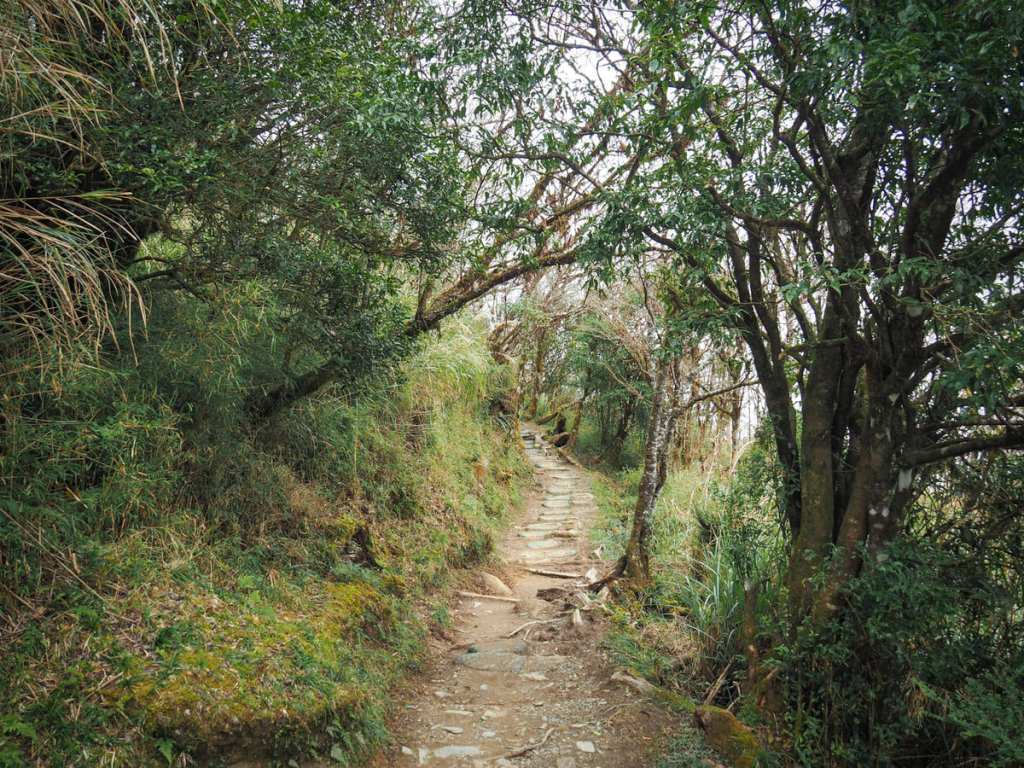
However, if you’re reasonably fit, don’t let the sign put you off. The trail is certainly steeper than what has come before, but it’s not so steep that you need to use your hands. This section shown in the right hand photo is the longest steep part, so it’s really quite manageable.
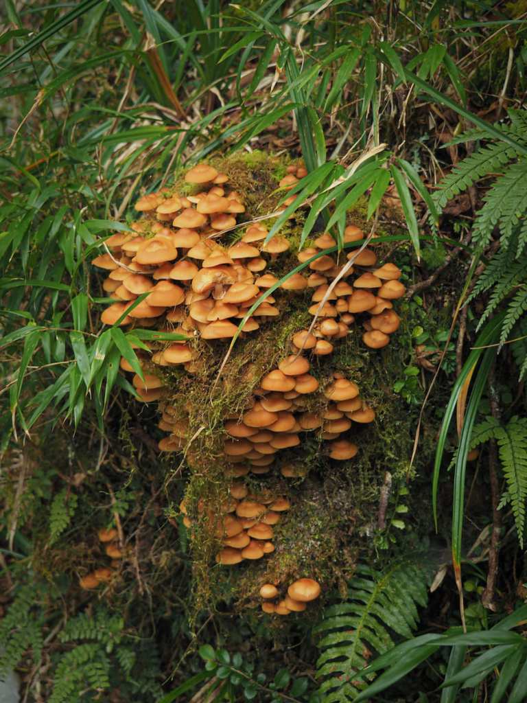
A profusion of fungi sprouting from a stump beside the trail.
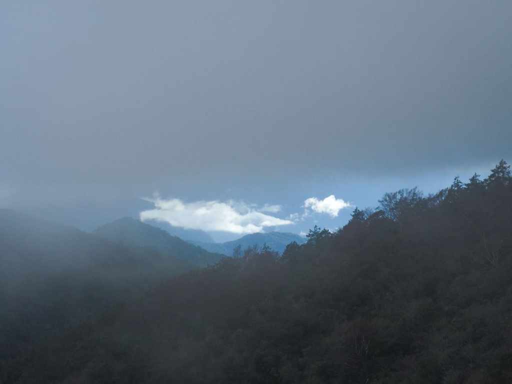
For the briefest of moments, the landscape to the right of the trail opens up and offers a glimpse of far-off mountains.

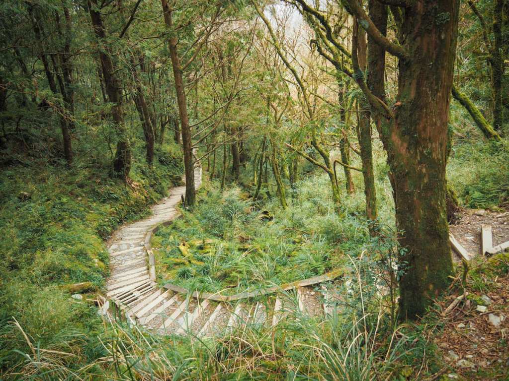
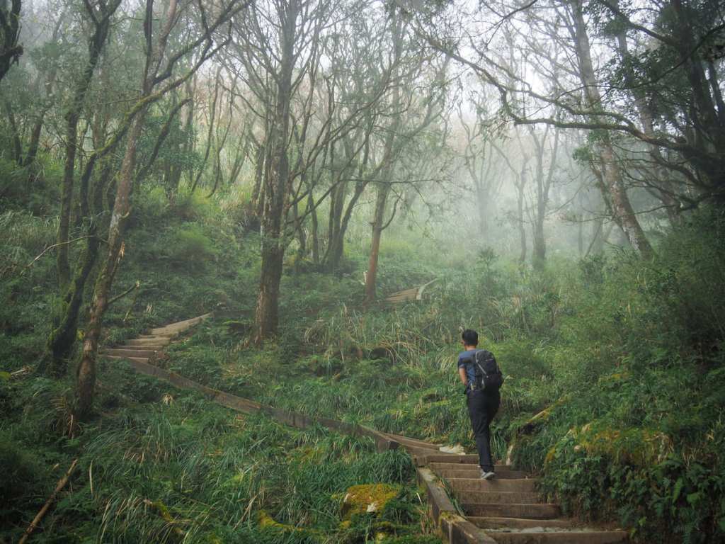
Then after a brief steep climb, the trail arrives at the section that most people come here to enjoy: the ridge top grove of Taiwan beech trees.
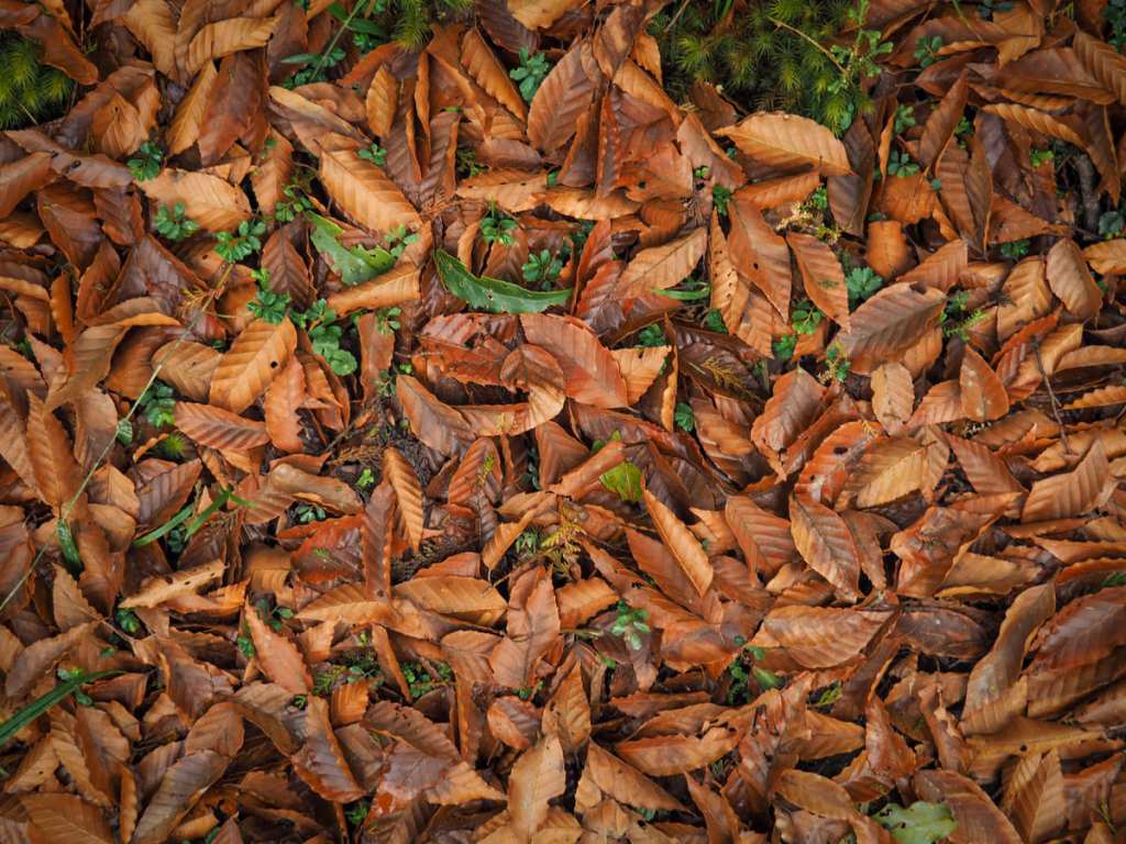
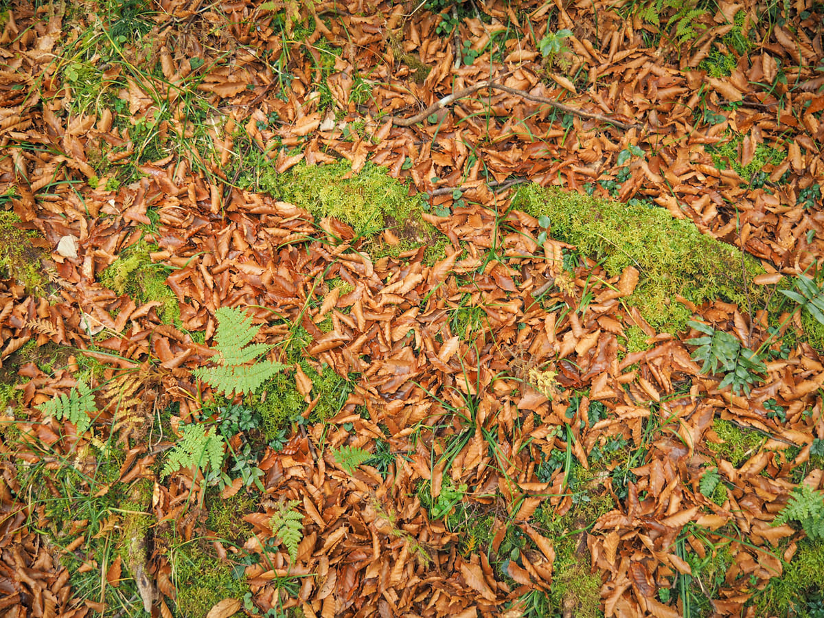
I visited in early December, so I just missed the best time to enjoy the spectacle of the trees’ bright yellow leaves. But the floor was still carpeted with crisp, orange leaves that crackled underfoot.
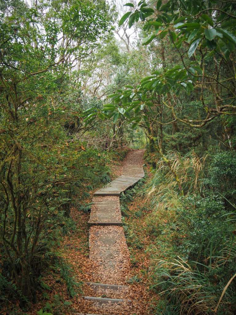
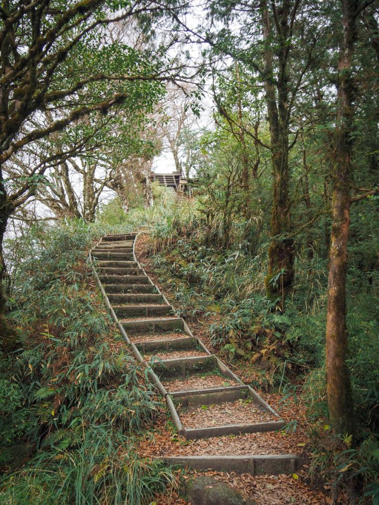
A boardwalk trail and steps carry you along the beech-shaded ridge until…
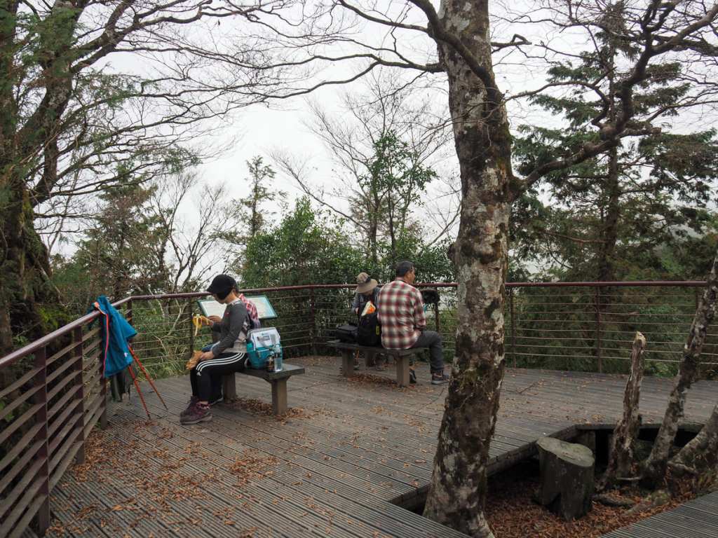
…you arrive at the topmost endpoint of the walk. In actuality, a trail does continue from here. The name given on the signage that describes it is “Yapulasi Mountain Track” (亞普拉塞山徑). I’m not sure why “mountain track” is used instead of “historic trail” because this is one of the old trade routes used by the Tayal (the tribe’s preferred spelling, although the government recognises the name “Atayal”) tribespeople. There are a few seats at the top, but I’d left Teresa behind talking to her customer (when you’re self-employed, even a mountain trail can be your office), so I rested just a minute or two before turning around to go and find her.
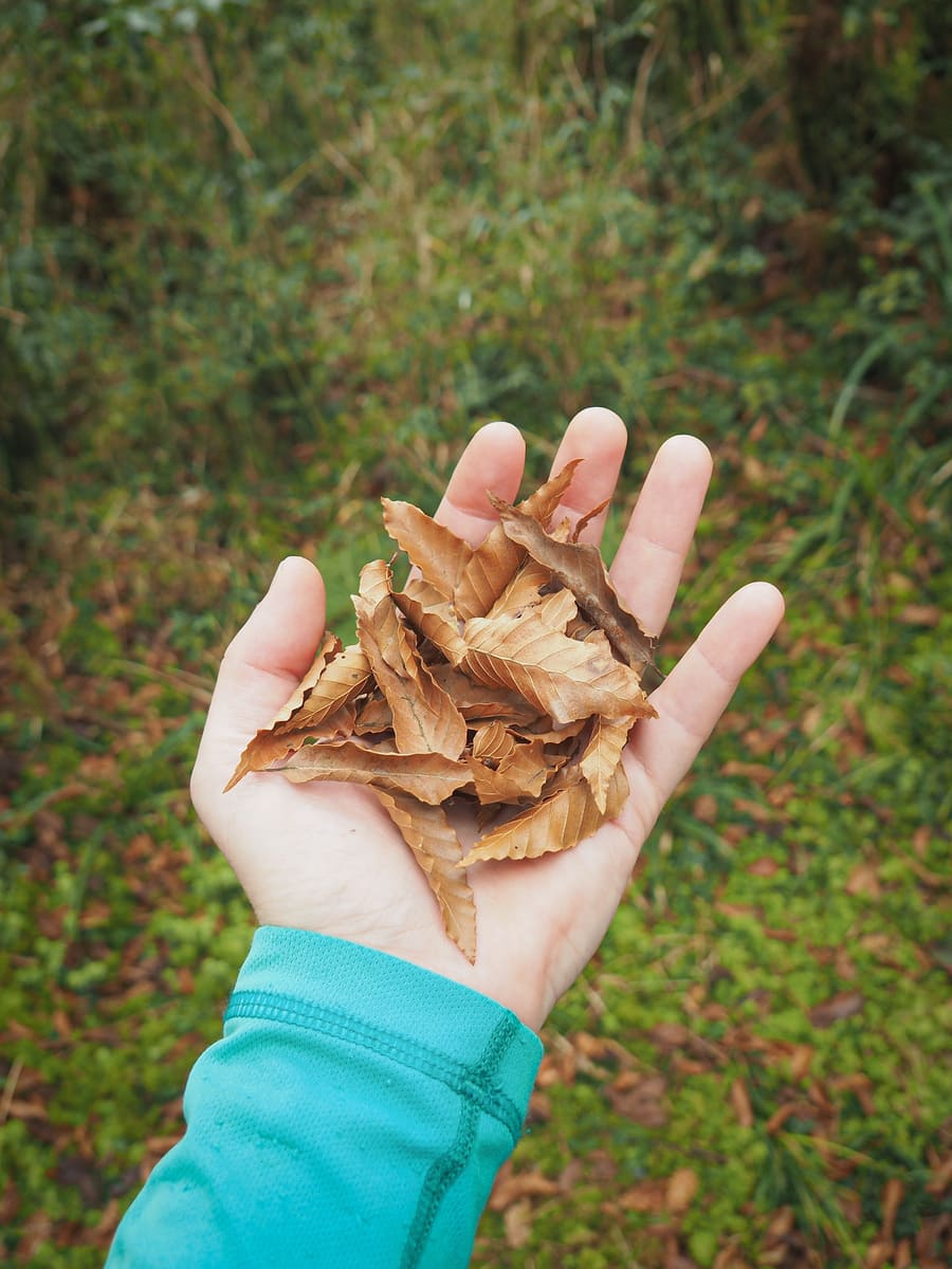
More beech leaf photos because why not. I’d tried to book our stay to coincide with peak beech season, but after almost a month of trying, I gave up and was happy to settle for anything.
I found Teresa a couple of hundred metres from the top and offered to walk with her to the top, but she’s weird and doesn’t care about actually arriving anywhere, so we began heading back down together.
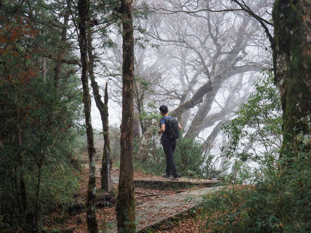
By this point, it was about half past one and Taipingshan’s regular afternoon clouds had started to gather.
The mysterious, moody atmosphere helped to distract from the most strenuous part of the climb.
At least, I was distracted, I’m not sure that Teresa felt the same way.
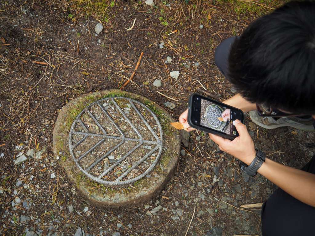
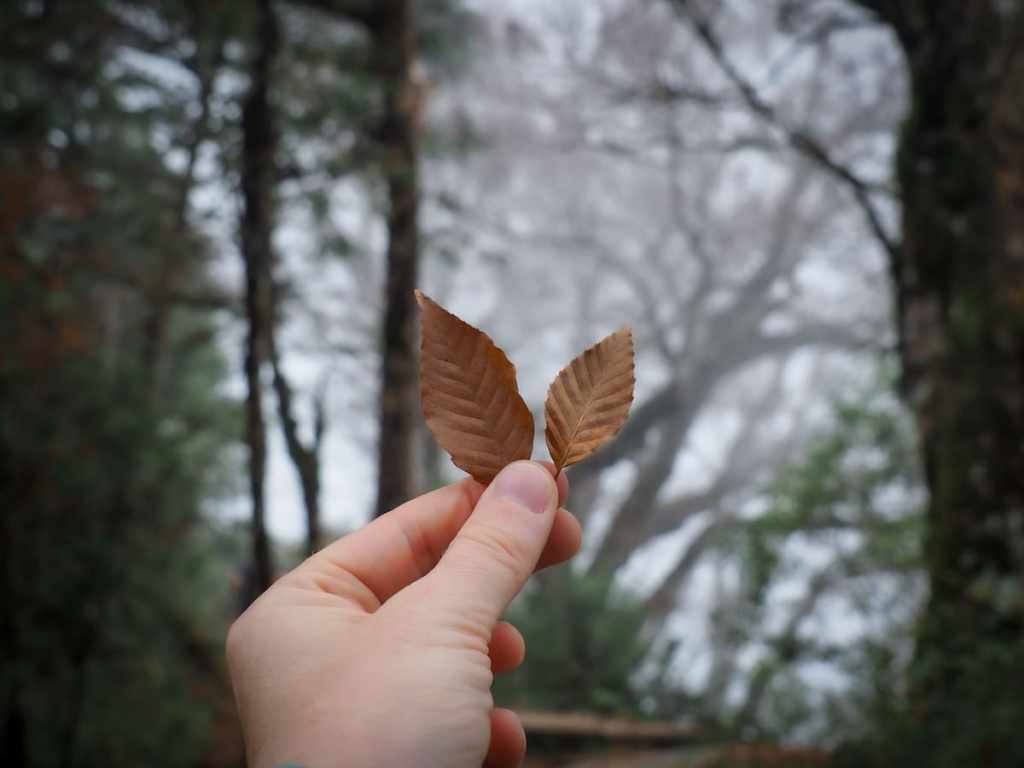
I had carried a couple of beech leaves with me so that we could photograph them against the metal work they’d inspired on the patterned walkways.
The return along the flattish 2.3km was pleasant and covered at a quick pace, and before long, Cueifeng Villa came into view.
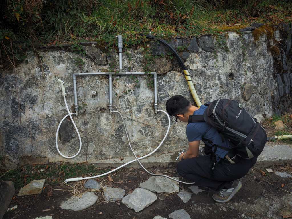
Park authorities have very kindly installed a boot cleaning station by the trailhead so that you don’t need to dirty your vehicle with mud. (Actually, the intended use is to clean your shoes before you enter the trail to avoid tracking foreign species into Taipingshan’s forests. From here, we headed back to the car and then made our way to our final stop for this visit to Taipingshan National Forest Recreation Area: Jiuzhize Nature Trail.
How to get to Taiwan Beech National Trail
Google Maps address: The walk starts close to Cueifeng Villa, deep inside Taipingshan National Forest Recreation Area. There’s a sizeable car park here.
GPS location: N24 30.600 E121 36.545
Public transport: There’s no public transport that will take you to Cueifeng Lake, the only options are to drive yourself there or to hire a driver to take you.
Further reading: For more detailed background reading on the trail (in Chinese), you can check here.
Nearby trails:
- Cueifeng Lake
- Cypress Trail
- Jancing Historic Trail
- Jiuzhize Nature Trail
- Maosing Loop Trail
- Maosing Main Trail
- Mount Sanxing
- Taiwan Hemlock Trail
- Mount Wangyang Trail
Taiwan Beech National Trail Map
GPX file available here on Outdoor Active. (Account needed, but the free one works just fine.)
