
Plus an Optional side-trip to Dragoness Rock
Guanyin Mountain’s nickname is tough guy peak on account of the fact that climbing it was previously used as an entoughenmemt activity for military police officers. Perhaps Taiwan and her hills have truly toughened my spirit, because I remember being knackered by the steps on my first visit. This time, I was keen for more of a challenge, so after climbing the main peak, I headed off to find the cutely named Dragoness Rock.
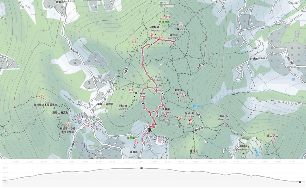
Distance: About 4.5 kilometres.
Time: 2½ – 3½
Total ascent: About 300 metres.
Difficulty (regular Taiwan hiker): 2-5/10 — Sticking to the main trail will result in a steep but very easy walk, while adding in the side-trip to Dragoness Rock will increase the difficulty level somewhat.
Difficulty (new Taiwan hiker): 4-7/10 — For someone new to hiking in Taiwan, the steps of the main trail will feel steep and tiring, but should not be too much of a challenge. However, the diversion to visit Dragoness Rock is much harder.
Risks and dangers: The main trail is safe and straightforward. It’s paved the whole way and has bilingual signage. The side trail has a few more potential hazards. It’s unpaved, has only handwritten Chinese signs and the path is slippery in places. The final climb up and down the spindly peak of Dragoness Rock is the riskiest part. It involves a brief, near-vehicle climb assisted by fixed ropes.
Water: I took 0.5L and drank most of it. There is a water dispenser part-way up and another near the peak, so you can top up if necessary.
Shade: This trait has patchy shade, so if you’re sensitive to the sun, you’ll need to cover up on bright days.
Mobile network: I had little to no signal for the uppermost portion of the trail.
Enjoyment: A lot of people have strong opinions on the Guanyin Mountain Trail. There are those who come here daily and swear it is a great cardio workout and there are others who cannot stand it on account of the interminable steps. Personally, it’s not one I’d want to do daily, but with the added side trip, it was a perfectly serviceable hike.
Bathroom facilities: There is a toilet block at the trailhead and another near the summit (take your own toilet paper).
Route type: There and back with an optional mini loop in the middle.
Permit: None needed
Jump to the bottom of this post for a trail map and GPX file.
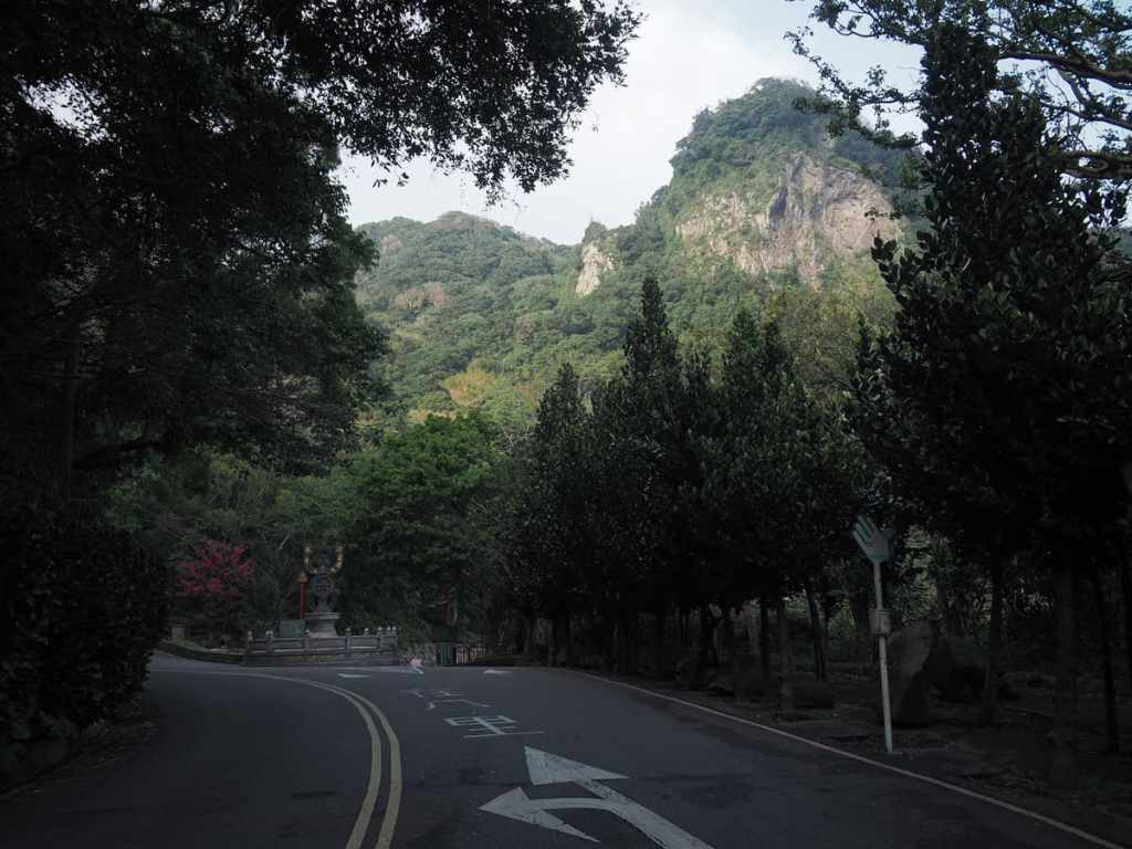
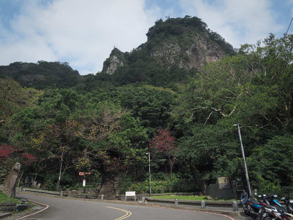
My version of this walk started from the bus stop closest to Linyun Monastery, but if you’re coming on the 785 rather than the O20, you’ll have to walk an extra couple of hundred metres to make it to this point. From the bus stop, walk uphill in the direction of the imposing Lingyun Peak (凌雲尖) and you’ll soon reach the start of the trail leading to Mount Guanyin.
The trailhead is marked by a toilet block and a pavilion where you can gather your wits before embarking on on the climb.
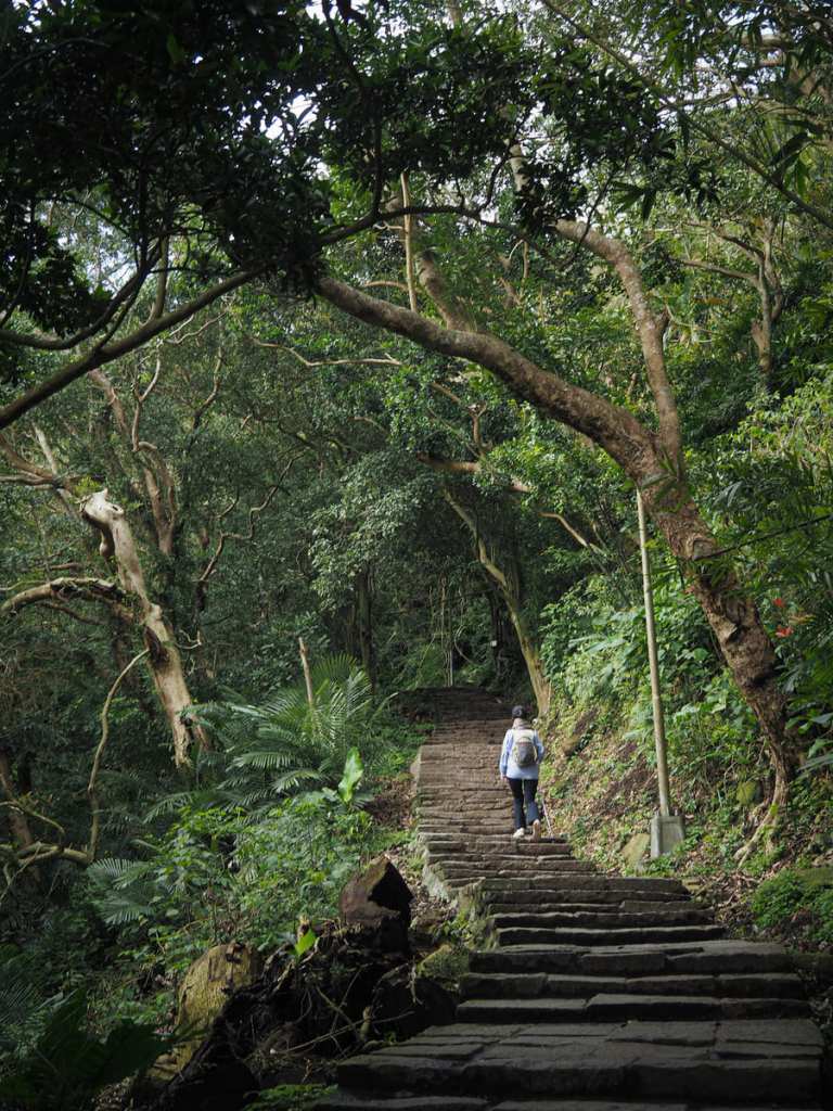
Even if your wits don’t need gathering, your heart (and legs) might need steeling for what’s in store.
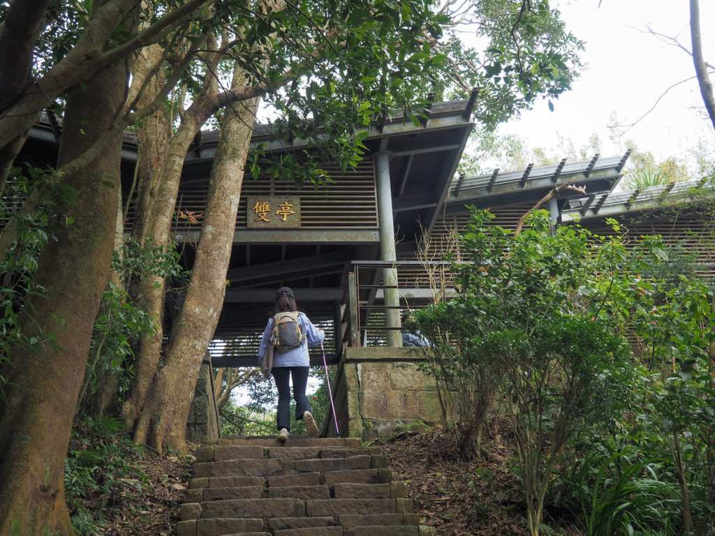
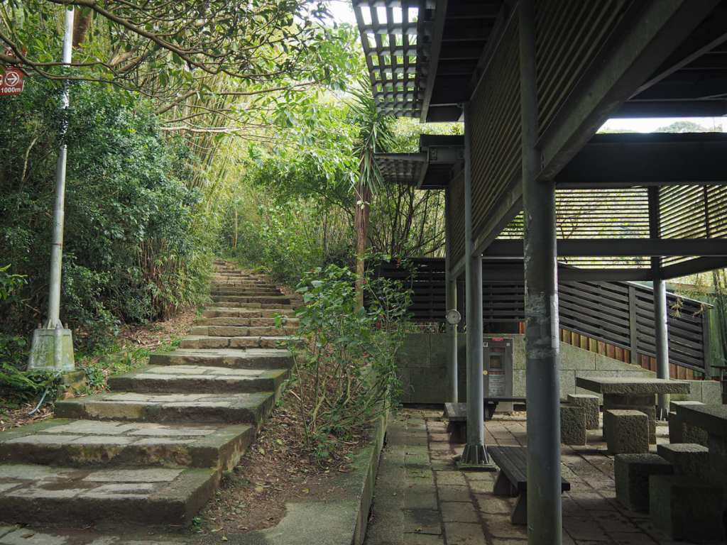
The first point of note along the way is this pavilion. It straddles the path, so you have to pass through it to continue. On the far side, turn right and keep heading onwards and upwards.
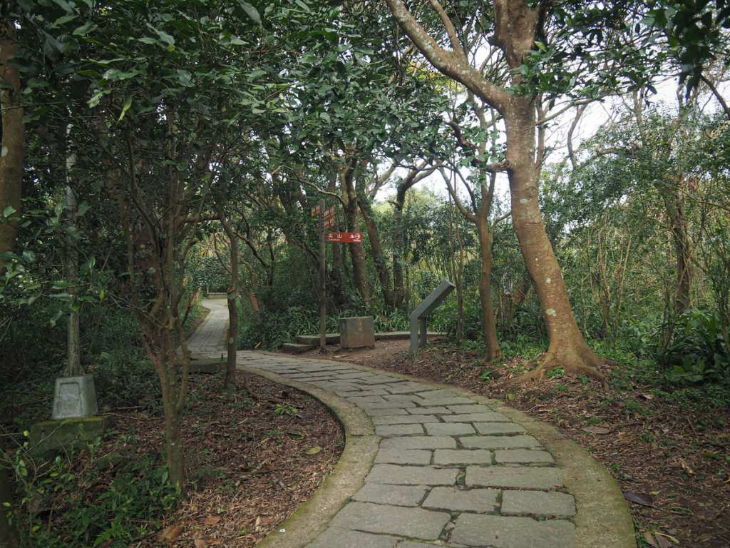
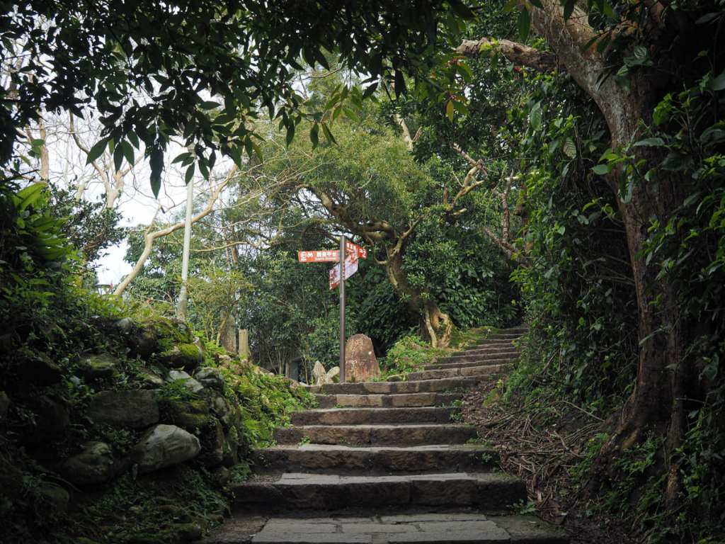
After climbing to a sharp bend, the trail levels out before dipping down. It’s not the end of the climb, but it gets less extreme from here to the summit. (That turn-off on the right is the one that this route guide takes later on the way back down.)
The path dips down to a junction. Head straight here (the trail on the left goes down to Guanyinshan Visitor Centre) and look out for the first sighting of Guanyin Mountain on the right.
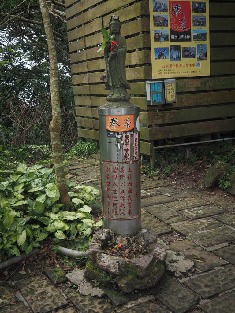
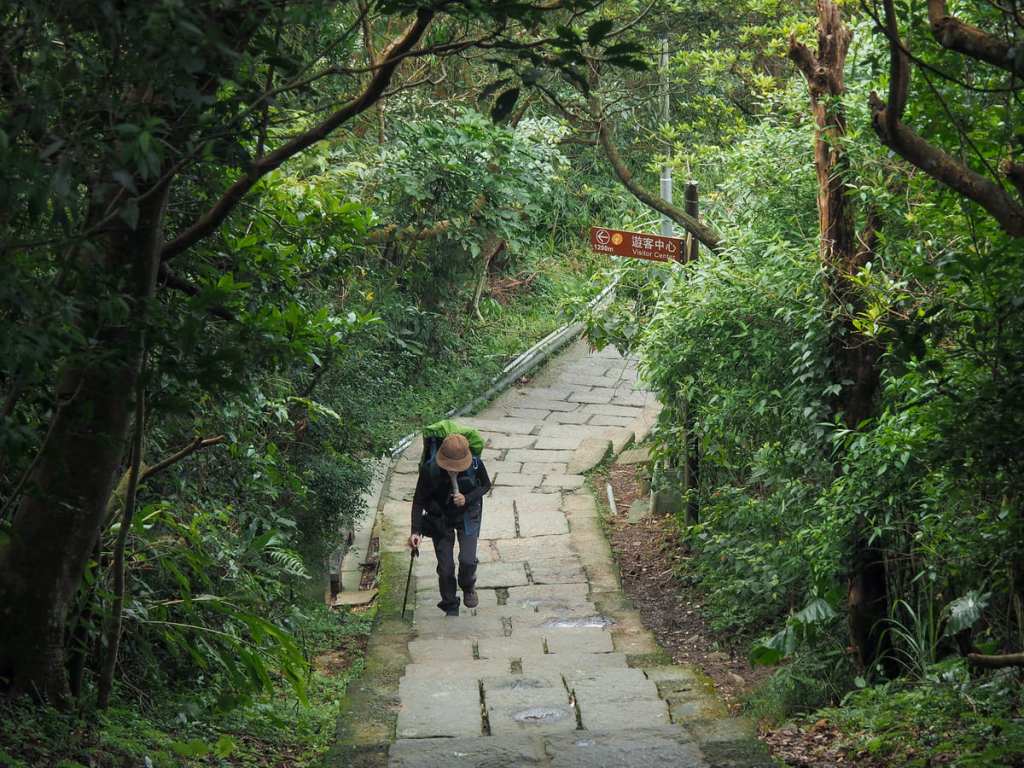
After a brief flat potion, the steps begin to climb again, and part-way up them, there’s a water dispenser presided over by a statuette of Guanyin.
At the top of the steps, you’ll find an open flat area with a couple of pavilions and a toilet block. The main lookout area is up to the right, but before I headed that way, I took a brief detour to the left to a secondary vantage point.
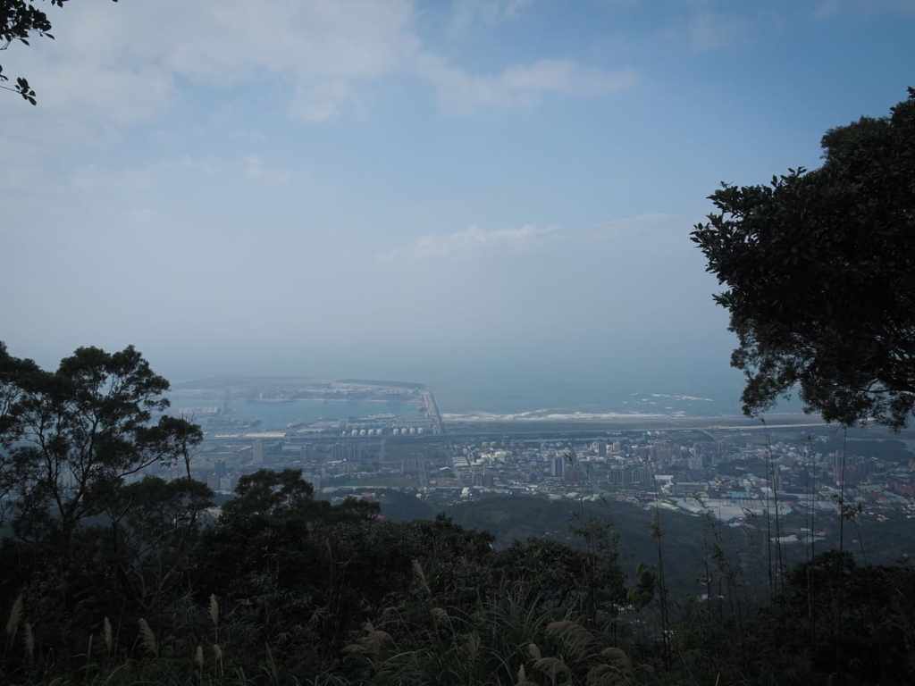
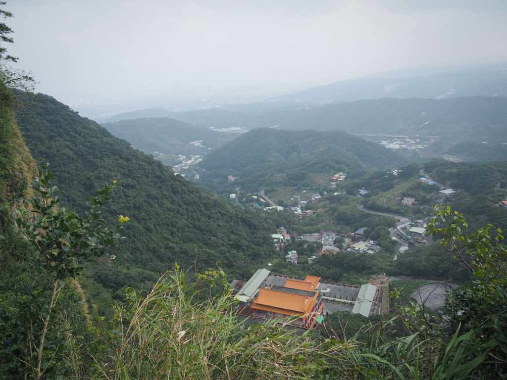
This spot sits on the northwestern edge of the peak and overlooks the Port of Taipei. If you’re looking for a quiet spot to enjoy your picnic, this is much more likely to be quiet than anywhere else up here.
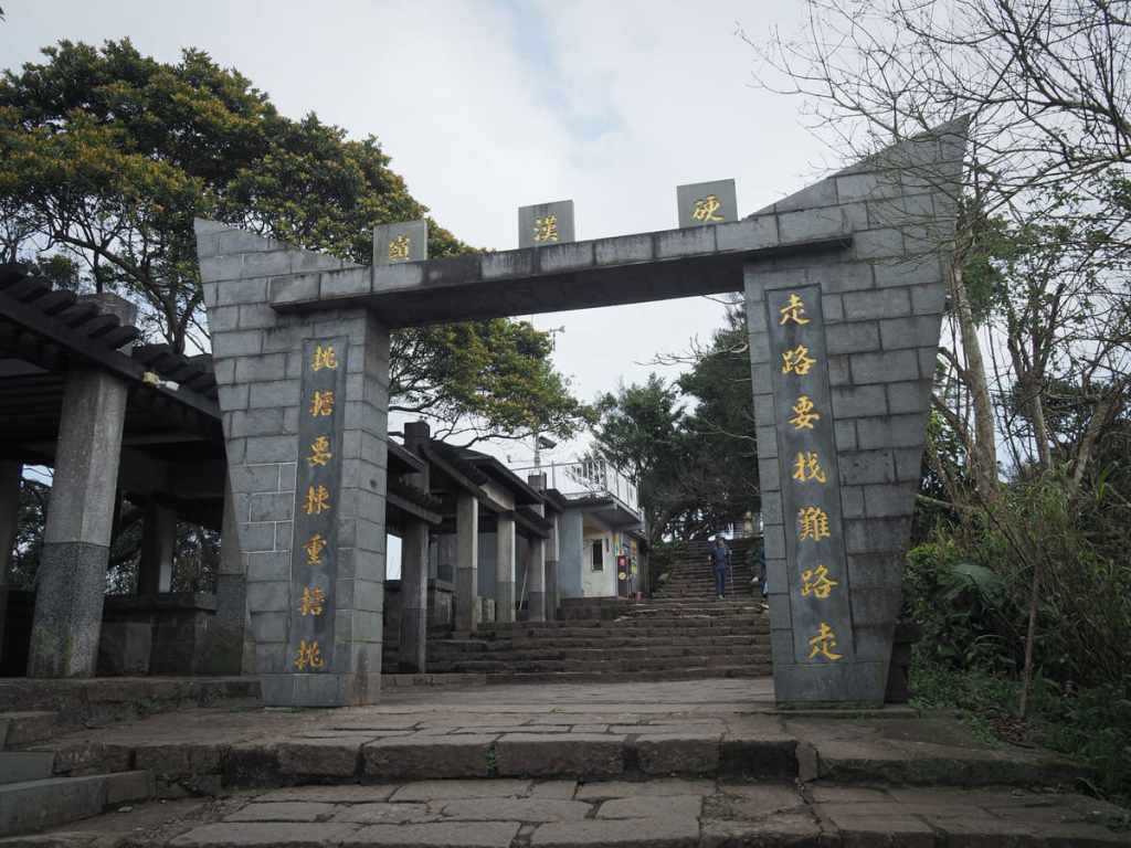
Returning back to the junction, I took the other set of steps and made the final push up to the top of Guanyin Mountain. An archway before the summit bears the the lines: “為學硬漢而來,為作硬漢而去” which means something like “You come here to learn to be cultivate a thought, resilient spirit, and when you leave, you embody that strength”.
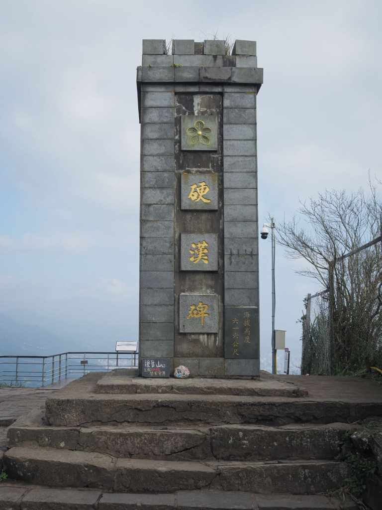
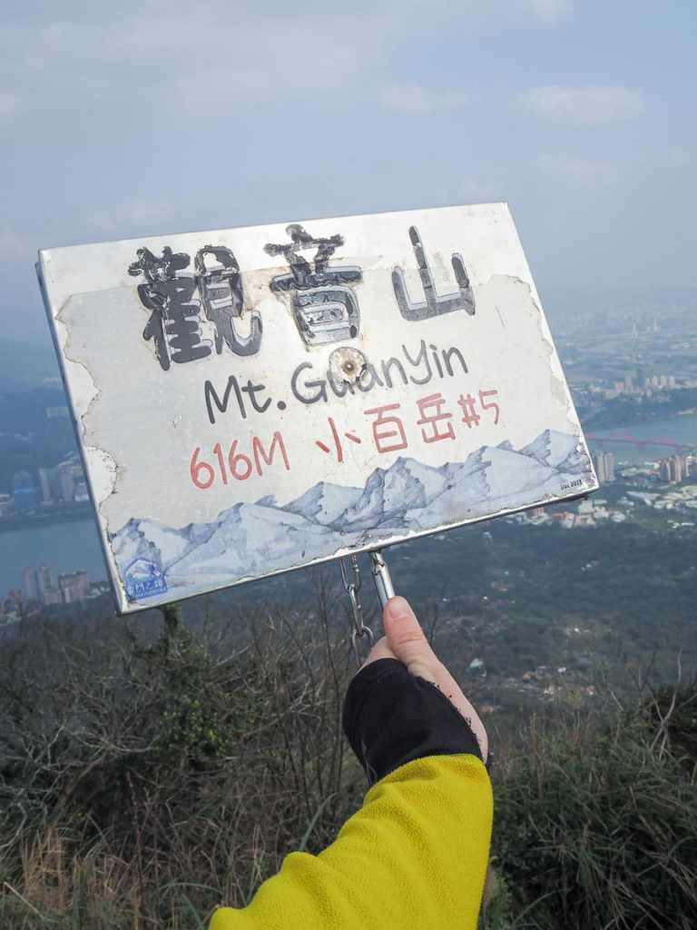
Further up, there’s a marker calling itself “Tough Guy Stone” and from here, you can enjoy great views of the city.
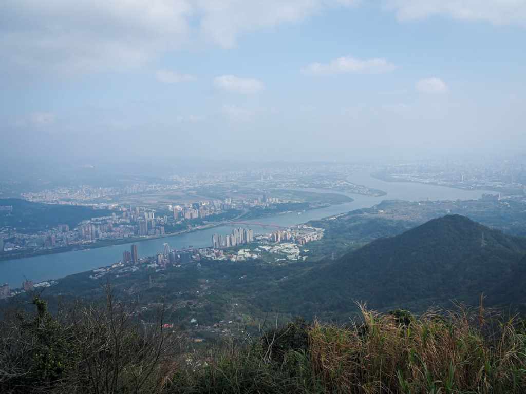
Looking towards downtown Taipei, where Keelung River and Tamsui River merge around the tip of Shezi Island.
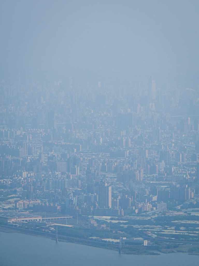
The peak’s summit marker and the city haze. For some reason, it’s always been hazy when I’ve visited this peak — possibly because I’ve only visited in the cooler months when haze is more common.
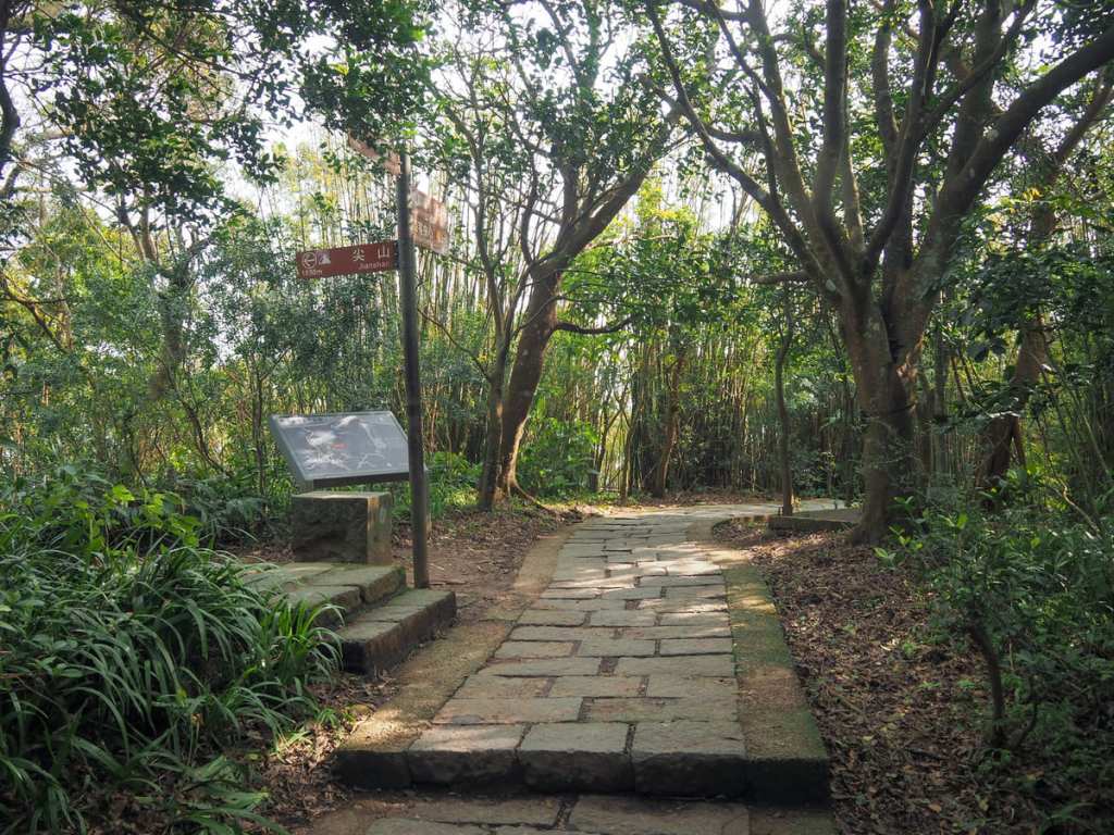
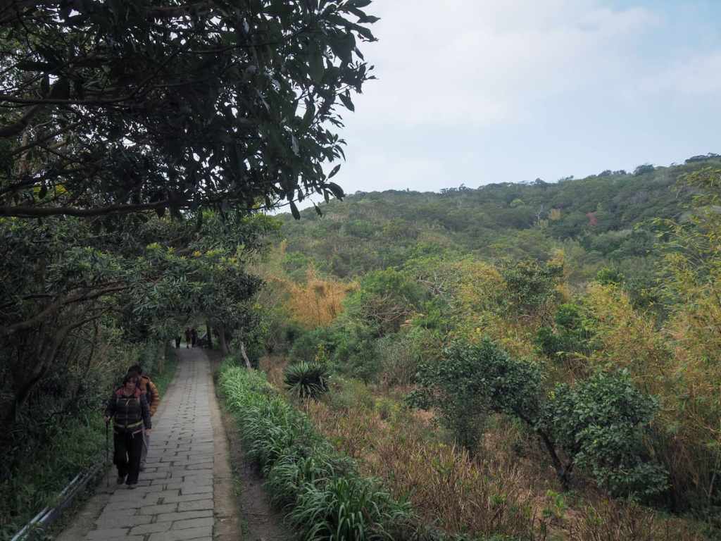
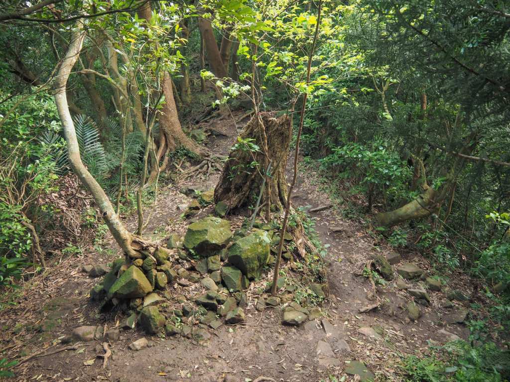
Heading back down, you could easily just return the same way you came, but I decided to do a little bit of a detour. I retraced my steps as far as this junction then took the path signposted as heading towards Jianshan. A sign posted at the top of the trail warns that it’s closed. It’s not. It’s just significantly harder than the popular tourist trail and I think the government believes lying to people in this way is going to be safer than telling people it’s difficult and to proceed at their own
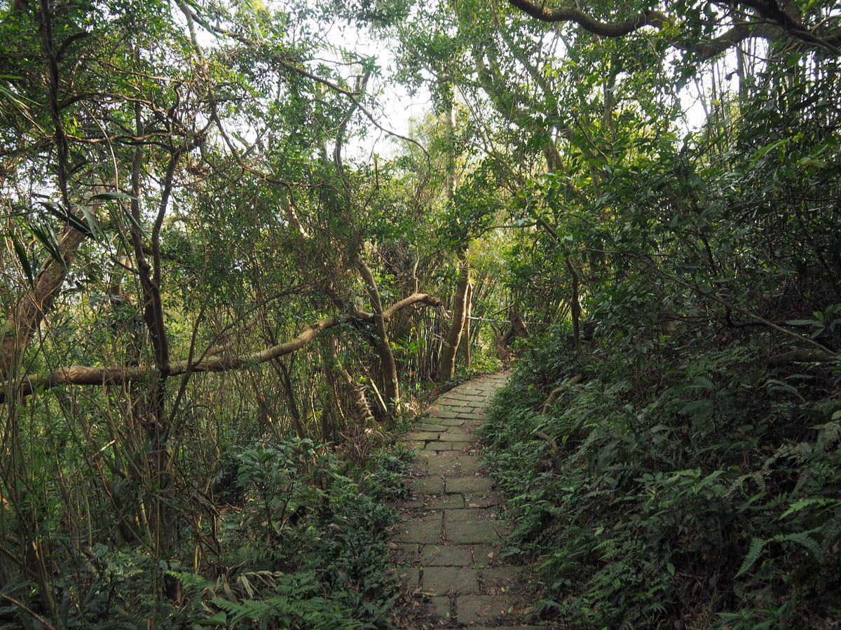
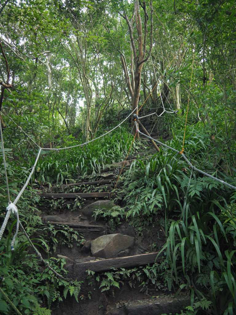
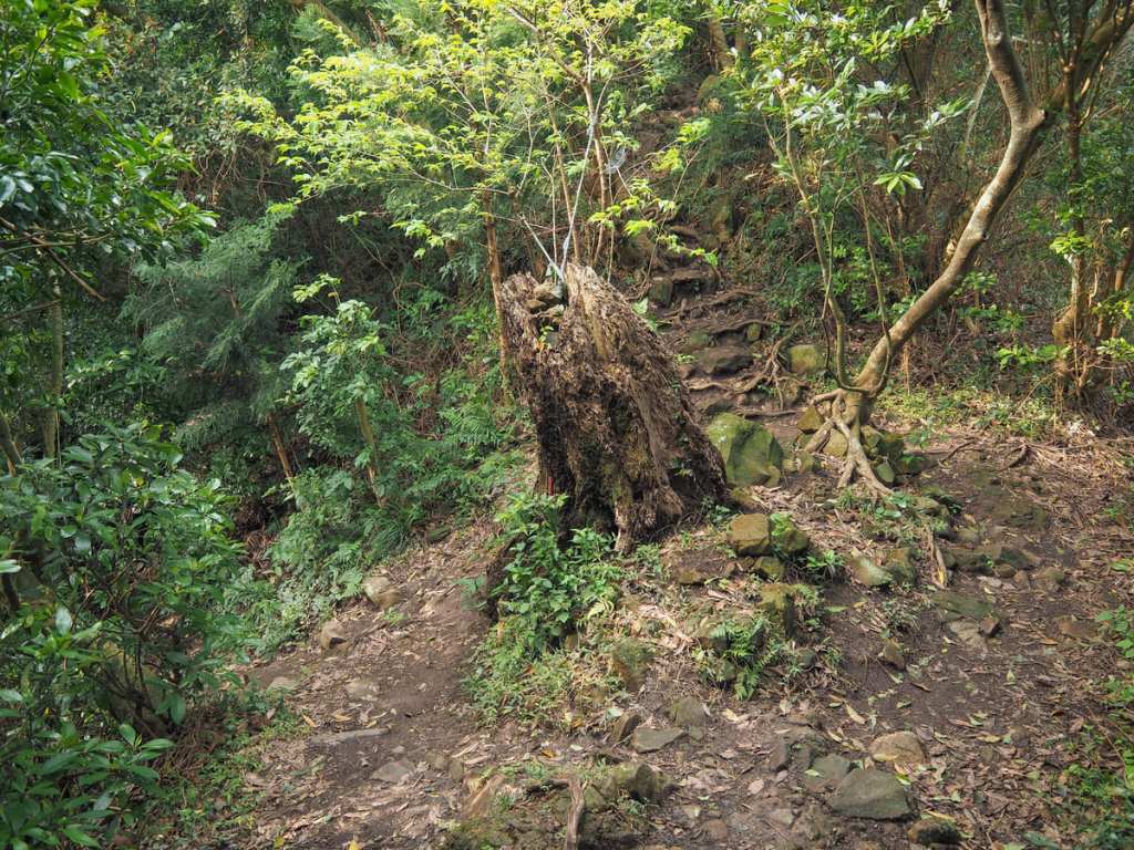
For a short distance, the path is paved, but it soon becomes rocky and ropey. The rocks are slippery and having one hand on the rope at all times managed to save me from landing on my arse at least twice. Around the point where the trail transitions from paved to unpaved, there’s another path that joins from the left. Ignore it, and continue to head straight/rightish.
The next junction you’ll come to is this hiking roundabout. In the end, I had to return back to this spot and take the one on the right, but before I did, I headed straight and made the steep climb to Lingyun Peak.
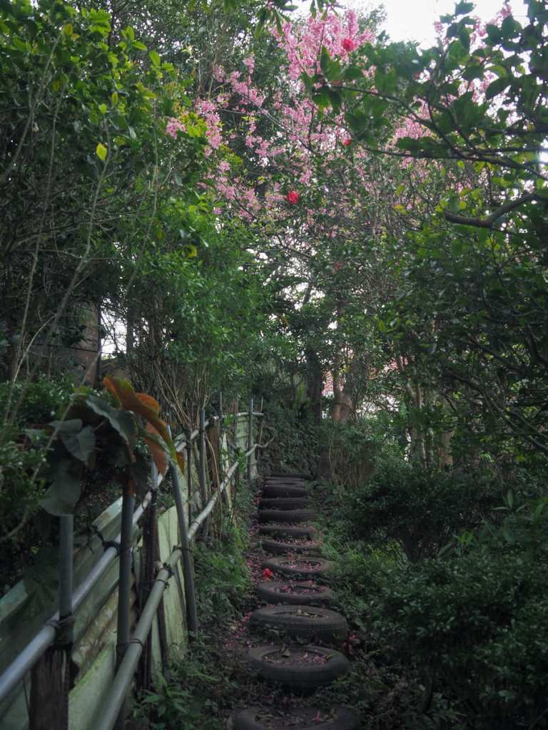
Guanyinshan’s spidery trail-builders have done there best with this route, and when I got to the top, I found a trail fashioned from old scooter tires.
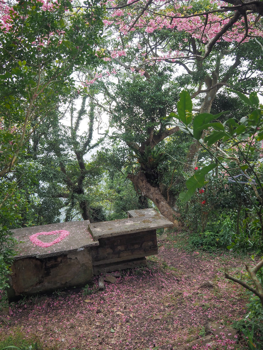
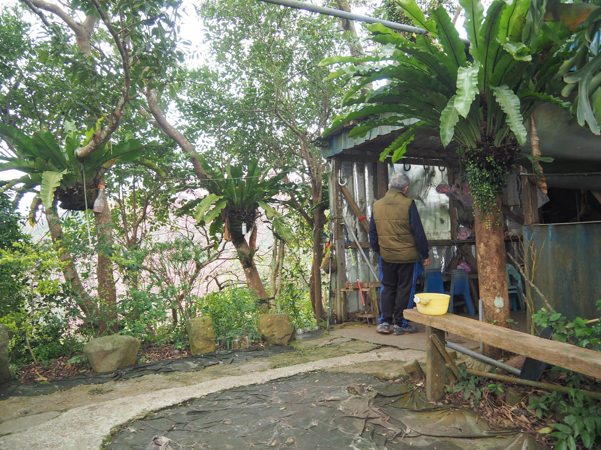
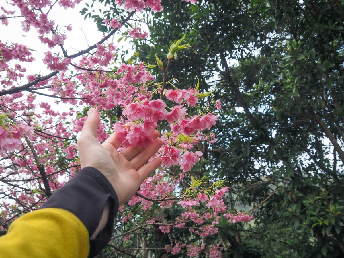
The small hilltop clearing has a shelter and a basic mountain kitchen. When I was there, one of the guys who likely built it was busy getting everything straightened out and tidied up before he went home, and in early February, there were a couple of exuberant cherry trees decorating the scene.
Originally, I had been intending to take a trail running between Lingyun Peak and Dragoness Rock, but a handwritten sign at the top end of the trail warned that the route was no longer in existence. Unlike the earlier government-placed sign, this one seemed to be telling the truth, so I headed back down to the roundabout junction and turned left to head downhill.
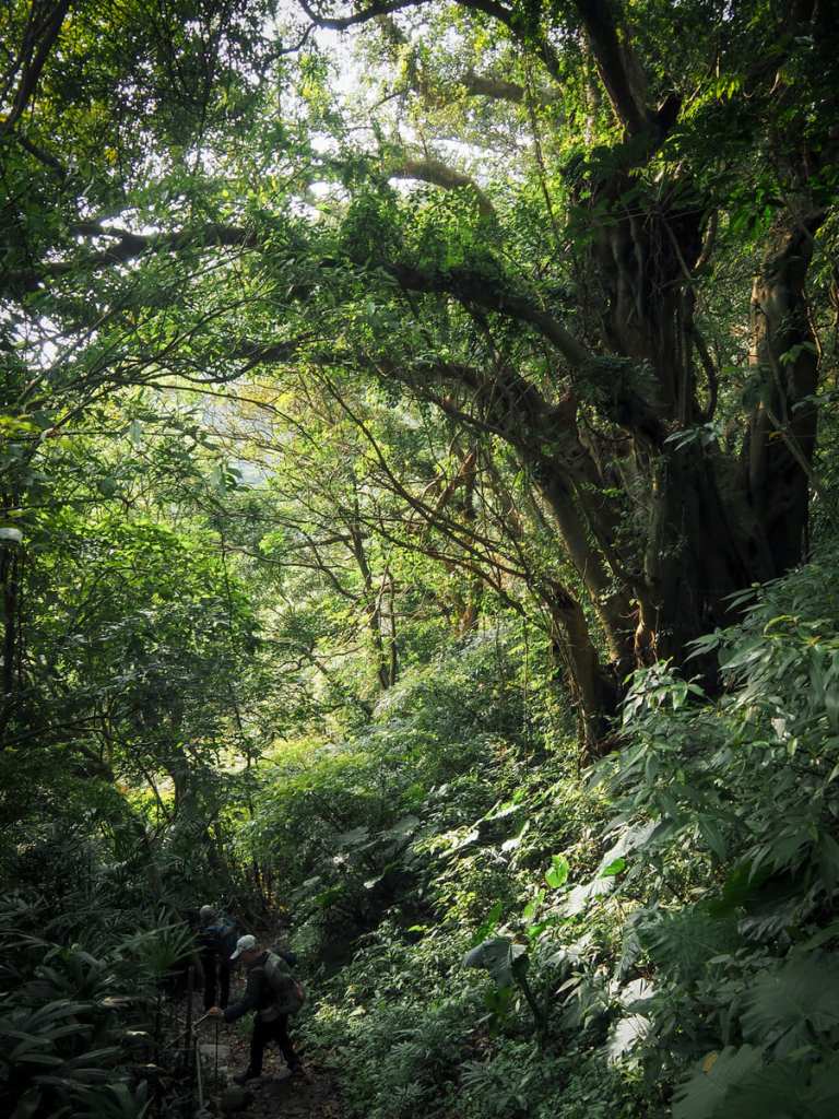
The path descends steeply through dense greenery until it reaches this impressive tree. It seems like it’s not just me who thinks this tree is impressive because someone has tied a red ribbon around it, denoting its status as being scared.
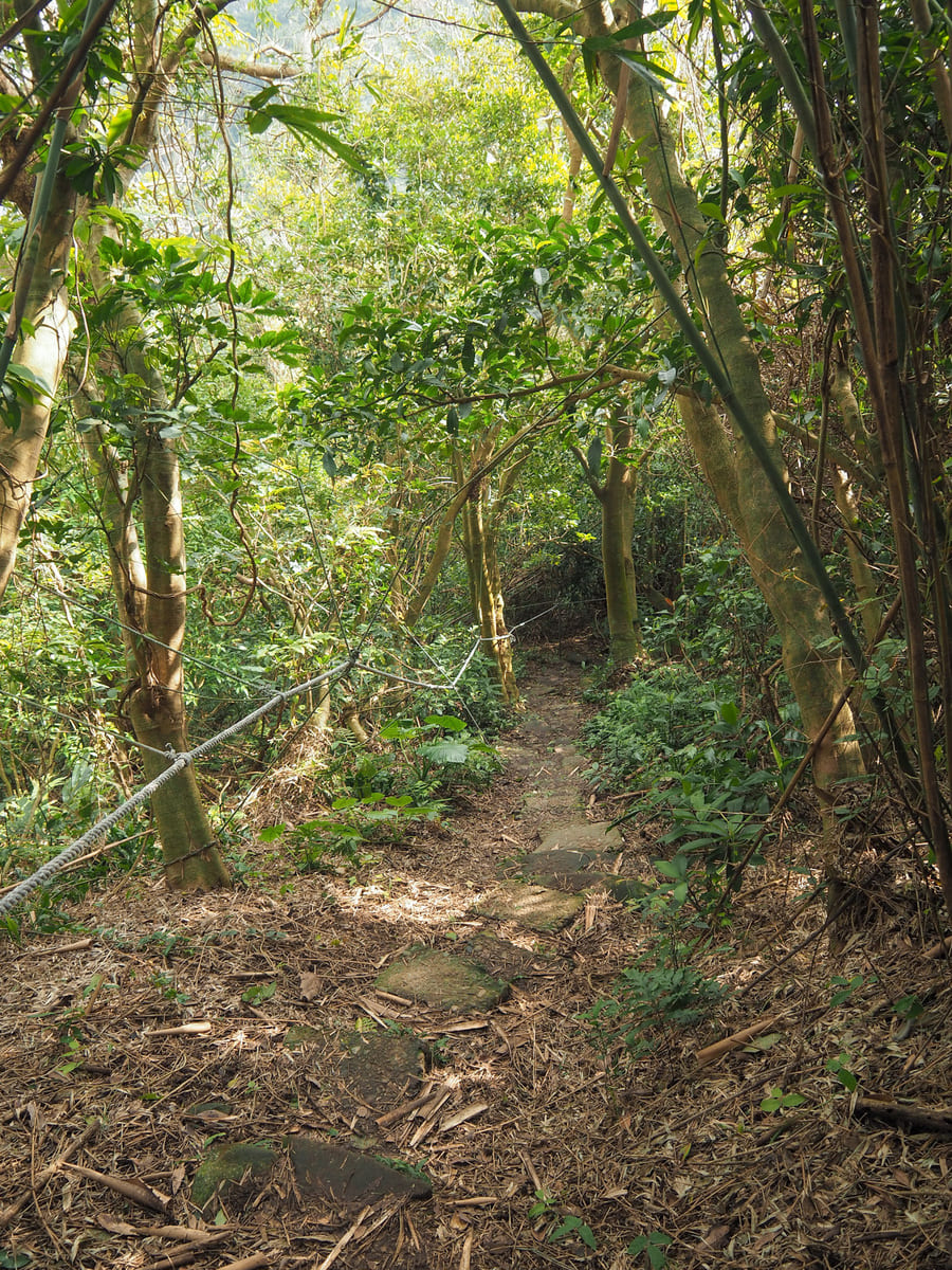
On the opposite side of the trail, there a faint path leading around the side of the hill towards Dragoness Rock. (You have to climb over the ropes.)
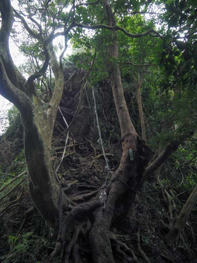
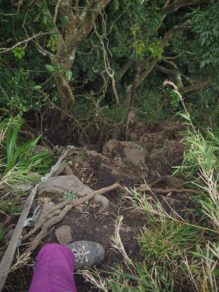
After a couple of hundred metres, I came across the lower end of the now-broken trail from Lingyun Peak, and just beyond that, I found the steep scramble up to Dragoness Rock. Although, when I say “steep”, what I really mean is “near enough vertical”. Something that’s worth pointing out about this particular climb (but also worth checking with any climb really) is that some of the ropes were looking a little frayed, so don’t replying on just one, and some of the roots weren’t strong enough to be trustworthy either.
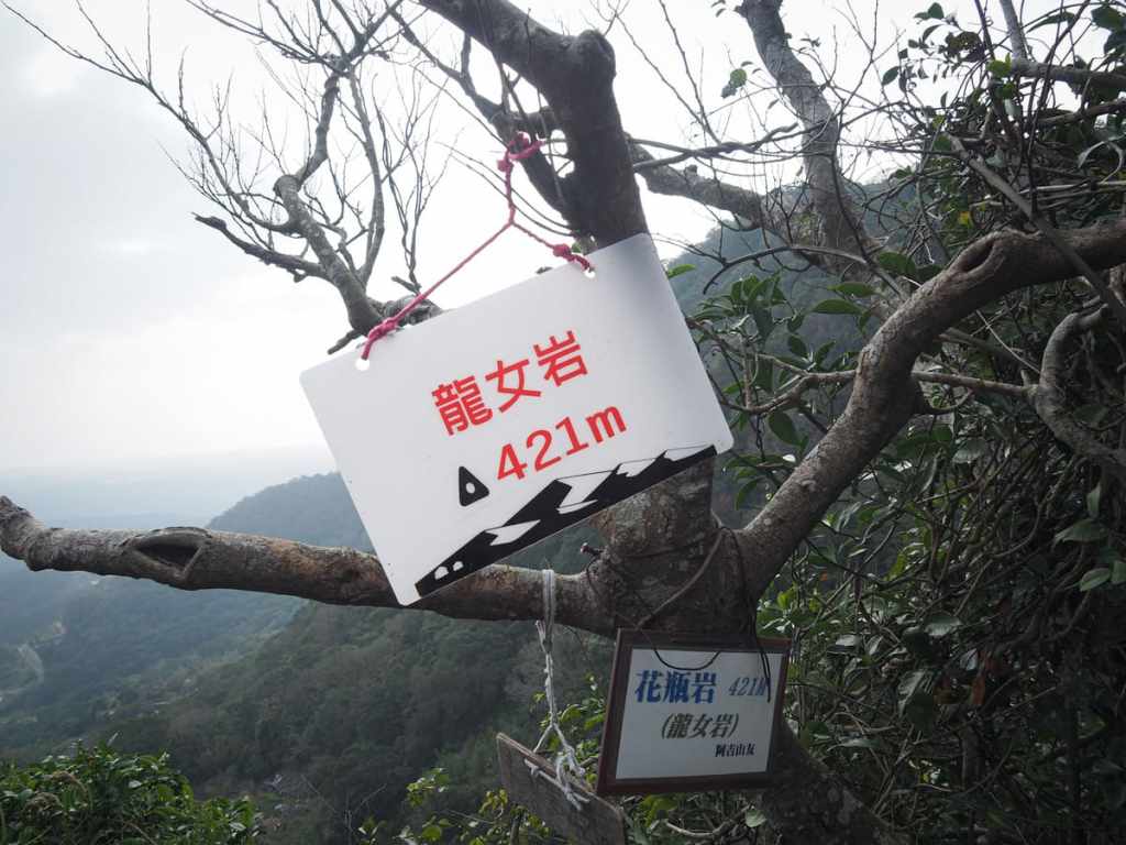
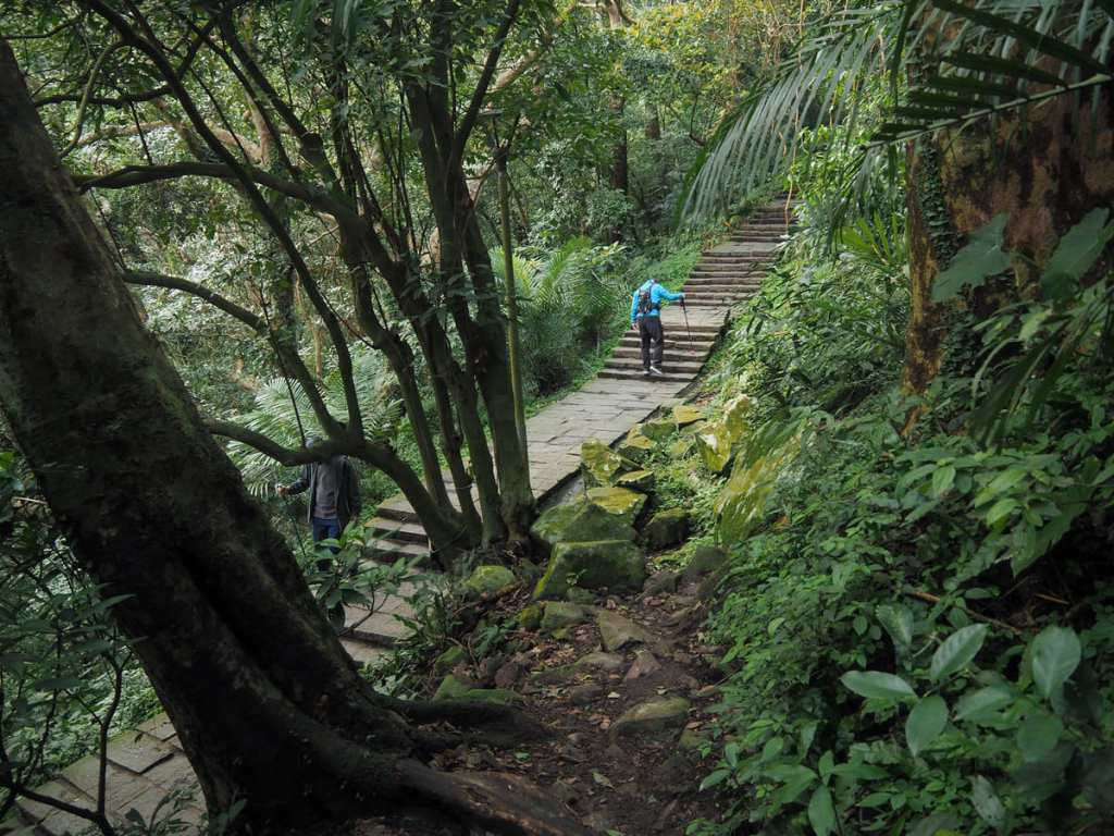
I hadn’t done much scrambling of late, and I began second-guessing my own abilities, but I decided to take it slow and careful, one step at a time, and I was able to make it up. The clearing at the top is tiny — barely big enough for two — if you scroll back up to the first photo, you can see why. Dragoness Rock is that tiny spire visible just to the left and below Lingyun Peak.
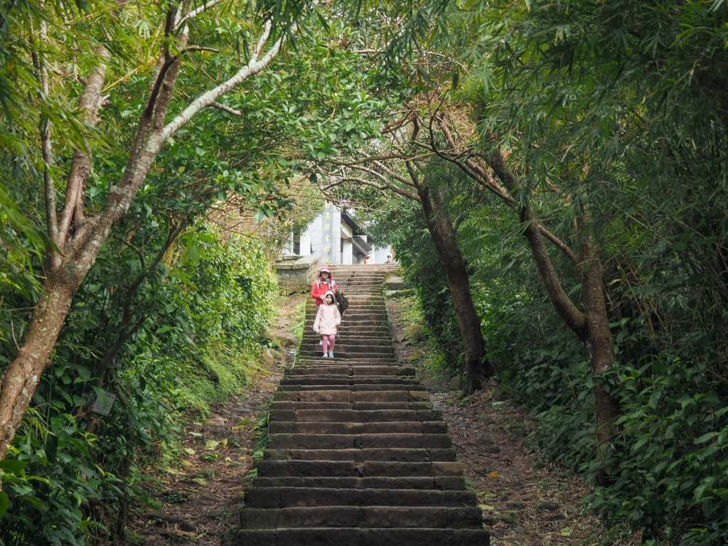
From there, I retraced my steps down to the junction with the sacred tree, turned left and followed the path down until I rejoined the main trail and then followed that down to the road.
By the time I finished walking, it was too late to take the O20 back to town, so I had to keep walking until I reached Lingyun Temple bus stop.
How to get to to Guanyin Mountain
Google Maps address: The walk starts and ends from the trailhead behind Lingyun Monastery, but depending on which bus you take, you may end up having to walk from Lingyun Temple.
GPS location: N25 7.703 E121 25.455
Public transport:
- Getting there — The 785 and O20 Extended Tourist Centre both depart Luzhou MRT station heading in this direction. The 785 will take you as far as Lingyun Temple Parking Lot bus stop, while the O20 will take you a little further.
- Getting back — To get back to town, you can do the same but reverse. However, it’s worth noting that the O20 only runs until late morning, so after that, you need to use the 785.
Nearby trails:
- Guanyinshan Northern Cross Trail
- Liao Tianding Cave
- Niuliaopu Trail
- Taipei Skyline Trail — Section 7
- Yingzai Peak and Chaoyin Cave Temple
Guanyin Mountain Map
GPX file available here on Outdoor Active. (Account needed, but the free one works just fine.)
