MSTW SECTIONS 24-26
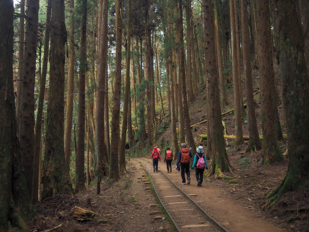
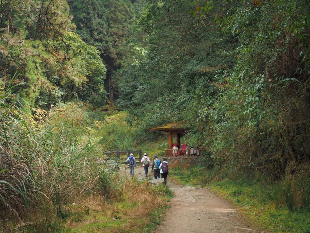
Day eight on the MSTW was when things start to get really, properly scenic. This day completes the last couple of sections of the Tribal Trail as the route makes its way ever onwards towards the high mountains. The highlight of this day’s walking is the charming Tefuye Historic Trail. This pretty forested route started off as a trading path for Tsou villagers, then was partially converted into a logging railway, and has now become a leisure trail. Since it was renovated and reopened in late 2023, visitors can stroll along the old tracks under the shade of towering Japanese cedars.
MSTW PASSPORT STAMPS: There’s one stamp at the top end of Tefuye Historic Trail. It’s kept in a little box at the trailhead, so it’s accessible at any time of the day or night.
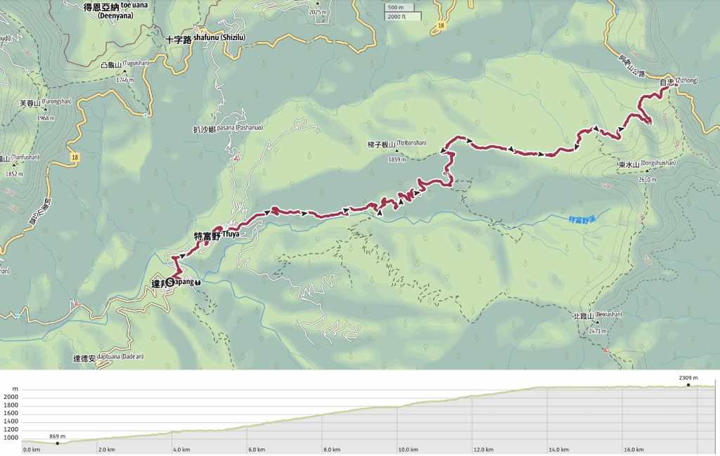
DISTANCE: I walked 18.5 kilometres. But… unless you’re planning on stealth camping or you have your own version of Teresa who is willing to drive to the trailhead and meet you, you’ll need to walk an extra 12 kilometres (making for a total of 30.5 km) in order to reach Dongpu Lodge. It would certainly have been doable, but I would have needed to pick up the pace a bit. It also would have meant that I would have had to skip the alternative route that I did on day nine. If you want to do the exact same route as me but do not have a Teresa to rescue you and don’t plan to camp, I am pretty confident you could hitch a lift up the road to Dongpu Lodge and then back again the next morning.
TIME: I spent a little over 7 hours walking. If I’d needed to walk on towards Dongpu Lodge, I think it would have been closer to 10 or 11.
TOTAL ASCENT: About 1,500 metres. (Had I walked on towards Dongpu, that would have been more like 2,300 metres, but the extra 800 are all gradual and on road, so it’s not quite as extreme as it first sounds).
DIFFICULTY CONSIDERATIONS: None of this day’s walking—when taken individually—was particularly hard, but the combined distance and elevation gain make it somewhat tiring. This would be especially true if you needed to walk on towards Dongpu Lodge.
FOOD, DRINKS & PIT STOPS: There is a breakfast shop in Dabang, and both Dabang and Tefuye have small convenience stores that you can stock up on—just don’t expect 7-Eleven levels of choice. It is also worth noting that there are no more places to purchase snacks or food beyond this point, so you’re going to need to ensure that you have enough to last you for the remainder of your trip. (Well, Dongpu Lodge has instant noodles, but that’s it.)
TRAIL SURFACES: Farm track, dirt trail, earth and wood steps (and maybe road).
SHADE: The farm track was a little sunny, but Tefuye Historic Trail is beautifully shady.
MOBILE NETWORK: A little patchy in parts.
SOLO HIKE-ABILITY: There isn’t really anything that would make this unsuitable for solo hikers.
Jump to the bottom of this post for a trail map, GPX file and all the other practicalities.
DETAILS & DIRECTIONS:

7:13 – Today I had a moderately early start. I returned my key around 7 o’clock and was making my way to the village’s only breakfast place shortly after.

On my way, I passed Dabang’s kuba. This is a type of two-storey structure with a thatched roof and a central fire pit where men of the community gather for special ceremonies. If you look at the top of the roof, you’ll notice that there are plants sprouting from the top of the two central poles. These haven’t just accidentally found themselves there, they are a key element of the kuba’s design. The plants are Dendrobium chryseums, a type of orchid, Hamo’s favourite flower. (In Tsou folklore, Hamo is the god that created people.)
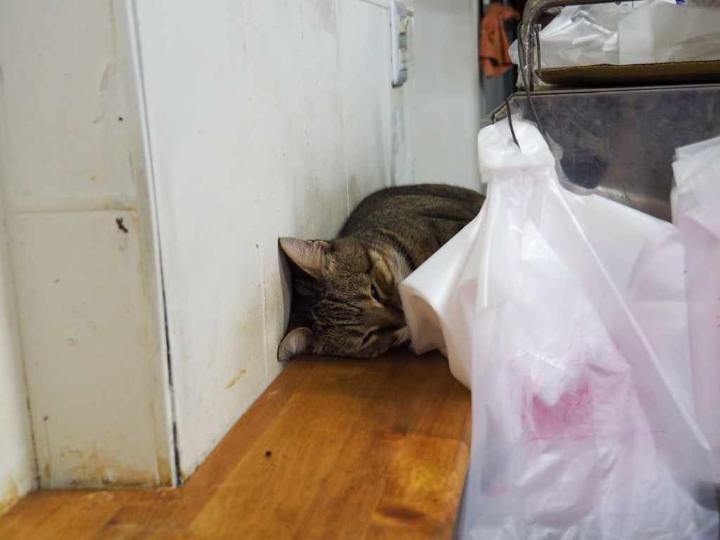
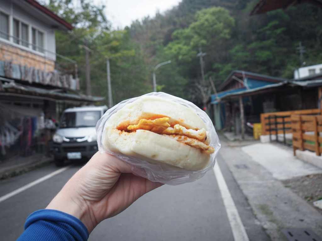
I stopped at A Chun’s breakfast shop and picked up a couple of steamed buns with egg. It must have been rush hour because the grandma and young woman duo running the place had half the village in and out while I was there. The store cat was slacking off though. It was wedged between the wall and the heated bun cabinet, stealing the warmth.

Following the road leading down out of the lower end of the village, I turned right onto the road leading to Tefuye.

A Tsou family stands guard at the junction.

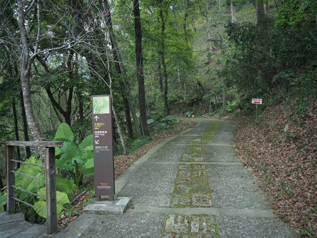
7:35 – Take a left turn off the road.

The steps lead you past a toilet block and on towards Dabang Suspension Bridge.
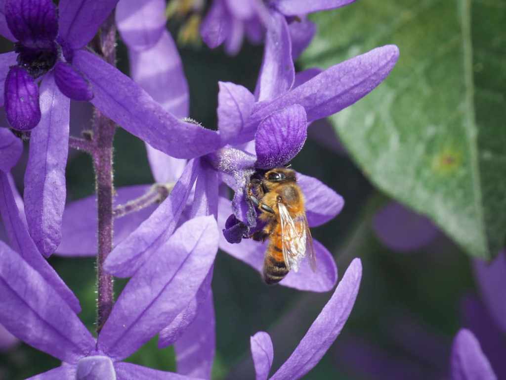
The entrance to the bridge is flanked by trellises of purple queen’s wreath vines, which, in thesunny weather of the day before, were full of all kinds of bees.

Looking downstream, you can see the road bridge taking cars over Yisiji’anna Creek and on towards Tefuye.

Once over the far side of the bridge, steps lead up through bamboo heading in the direction of the giant camphor grove.

7:55 – Tefuye’s tribute stone sits just to the left of the trail. This one is a lot smaller than the one at Lijia, and it seems the gods of Tefuye are more partial to money than betel nuts.

7:59 – Both directions are possible, but after strolling around the area yesterday, I knew that the one on the left was the marginally less steep of the two, so I headed left and continued walking towards the giant camphor grove.

I took a little break here to enjoy the view and eat the second of my egg buns.

When you meet the giant camphors, you can’t miss them. These huge beings spread their branches high above the trail and have a stately presence to them.
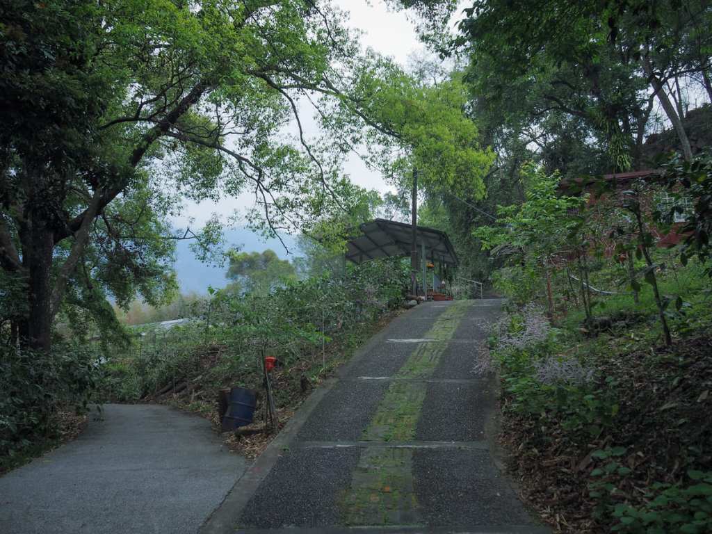
The trail crosses over the road then climbs up steps until it reaches a track. Turn left onto the track and then follow it up through a little coffee shop.

Despite it being just half past eight on a weekday in a place which only really has tourists on weekends, the store was already open and I got a cup of cold coffee for the road. I met the mother of the guy who served me the coffee as I was walking through their coffee planation. I’d stopped at their place the day before, so she recognised me and told me off for not having taken a banana for myself.

08:31 – The steps lead up into Tefuye Village. I turned left towards the settlement’s convenience store, then took a shortcut up some steps to visit the village’s kuba.

This one looks like it’s slightly better maintained than the one in Dabang and the square outside it is decorated with some cute artwork drawn by local children (or maybe child since the style feels quite consistent).
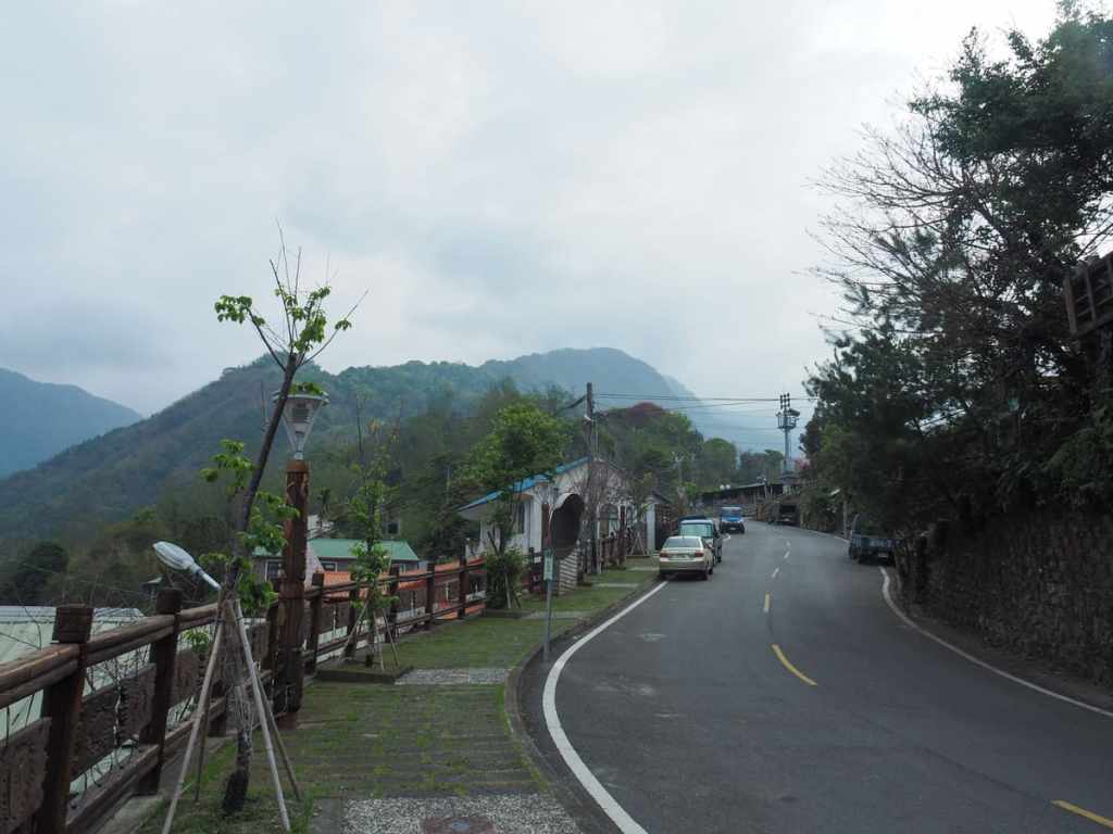
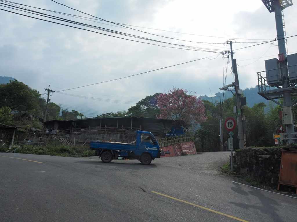
From the kuba, turn left and head uphill until you reach this next turn off on your right. It’s signposted as heading towards Tefuye Historic Trail, so it’s hard to miss. I’d already met the guy in the blue truck earlier and when he saw me a second time, he offered me a lift. He took a bit of convincing before he finally drove off.

08:43 – At the next junction, turn left, still following signs for Tefuye Historic Trail. There was a farmhouse with some unchained and unhappy dogs not far along the trail, but luckily they didn’t figure out I was there until I’d already gotten past their property.

This trio of lanes was the only unclear junction. Here, the MSTW goes straight up the middle one.

There is roughly 6-kilometres worth of track to climb before reaching the start of the historic trail. For the most part, there aren’t any views to speak of, but the bamboo and camphor trees are pretty and there are loads of birds to spot. My favourite sightings were Taiwan yuhinas and an Eurasian nuthatch.

Around the 2-kilometre mark, I passed a group of workers cutting the weeds beside the track. I’m not sure what the purpose for this was. Unless perhaps someone is planning to turn it into a coffee farm.
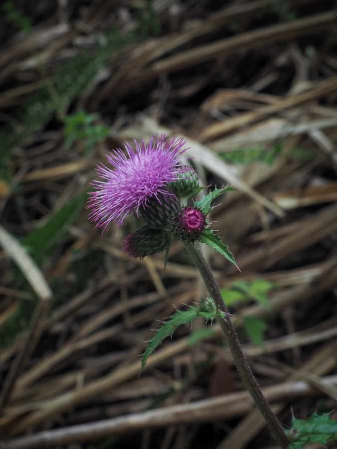
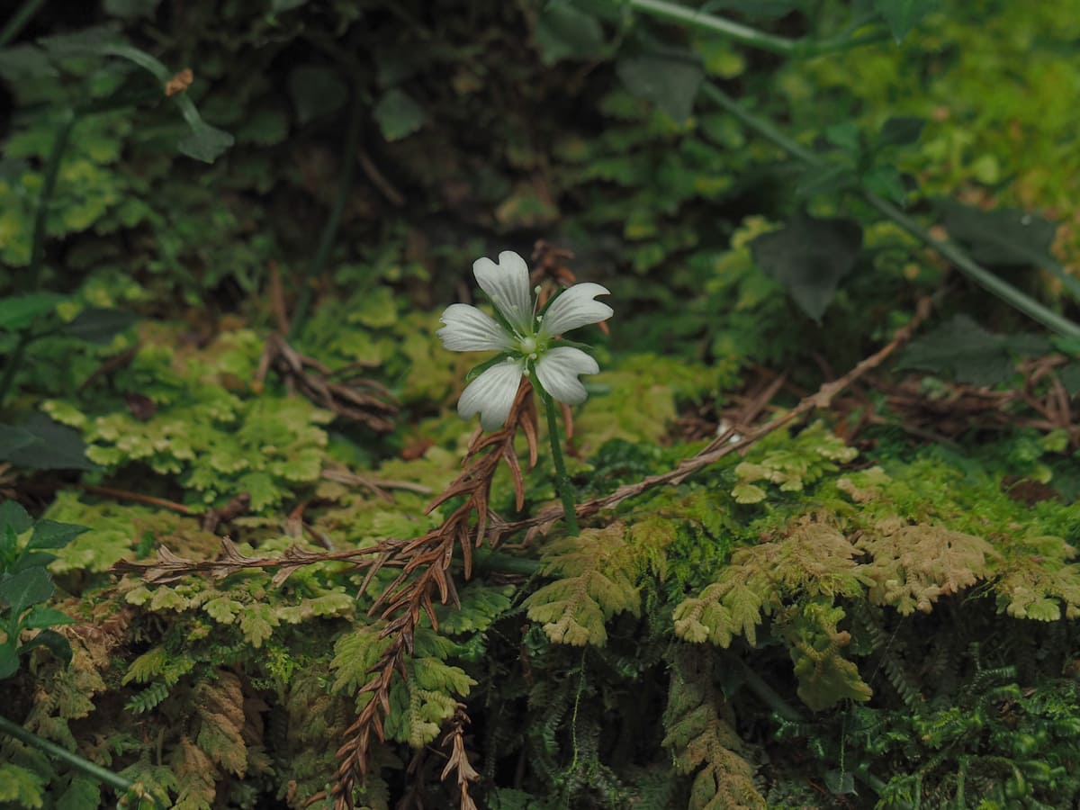
And when the birds were hiding, there were lots of interesting plants to observe.

An incongruous China flag on a heavily CCTV-covered property.

10:44 – When you reach this characterful tree, you’ll know you’re almost at the trailhead.
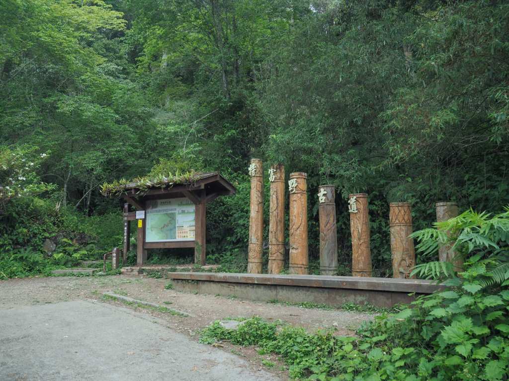
10:48 – The entrance to Tefuye Historic Trail is marked by a pavilion, trail sign and small toilet block. When I arrived, there was already a couple here taking a break. The told me that it had taken them two hours to walk down from the start of the trail. We chatted a bit, then at 11 on the dot, they set off back up leaving me with one of their apples.

A sign at the trailhead warns of a bear infestation. Since there are only an estimated 200-600 of them left in the wild, I think the word “infestation” makes things sound worse than they are. After I set off, the next group I met walking down asked me if I was the foreigner who had been walking for eight days. It seems my new friends had already spread the word.
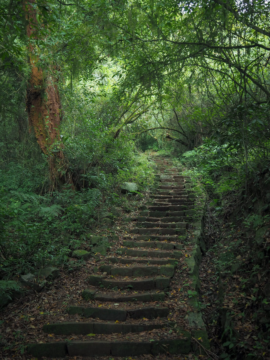
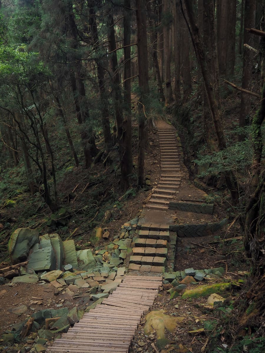
Steps climb up for the first 2.5 kilometres of the route. At first quite steeply, but the further up you go, the more manageable the ascent becomes. Although well-developed and very popular now, this route has a long history. It was first opened by Tsou tribespeople as a route for hunting, trade and travel between villages.

11:45 – At a bend, there’s a side trail leading to Tiziban Mountain (梯子板山). I didn’t check it out, but I couple I spoke to later said it was pretty easy-going. It looks to be about 600-700m off the main trail and mostly along a forested ridge.

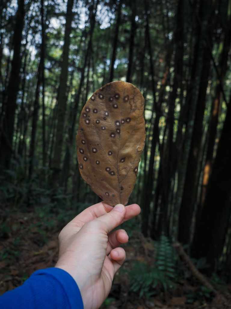
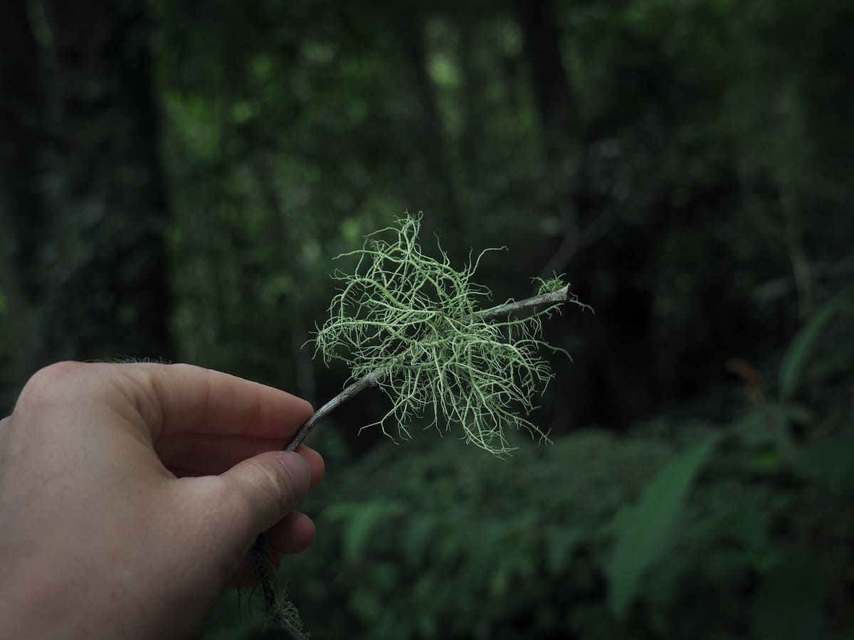
A patch of forest was wreathed in clouds. It must have been that way for a while because the mosses and draping lichens on the higher branches had caught so much moisture that it was like walking through a localised mini rain storm.
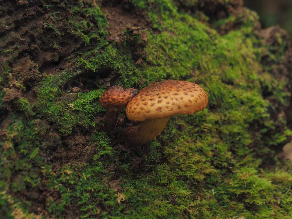
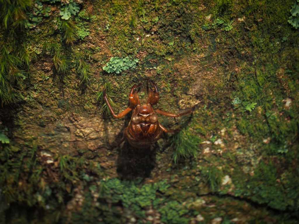
A cicada exoskeleton and a mushroom.

At one point, I found myself climbing through an impressive avenue of Japanese cedars standing tall and straight, making me feel as tiny as a gnat.
13:00 – Around the 3.7-kilometre marker, the path reaches the end of the steps. The vast majority of people visiting Tefuye Historic Trail stop here and just return the same way.

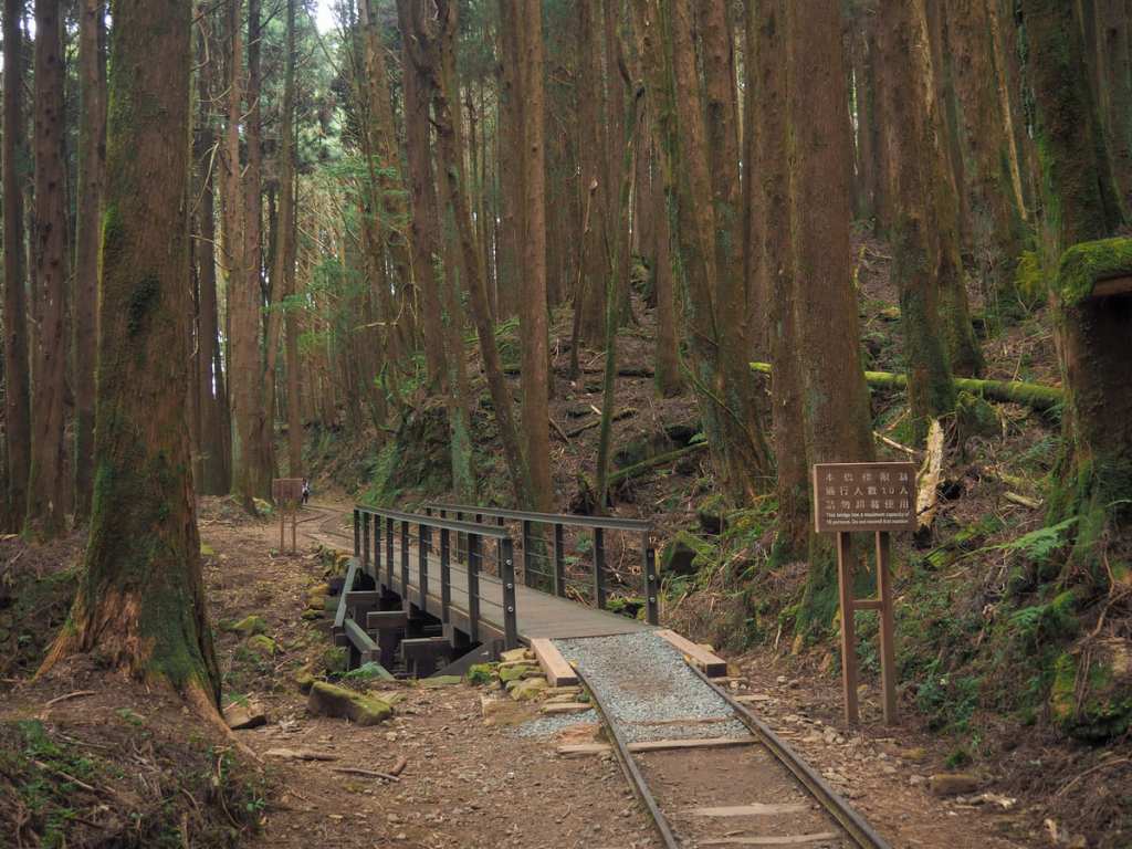
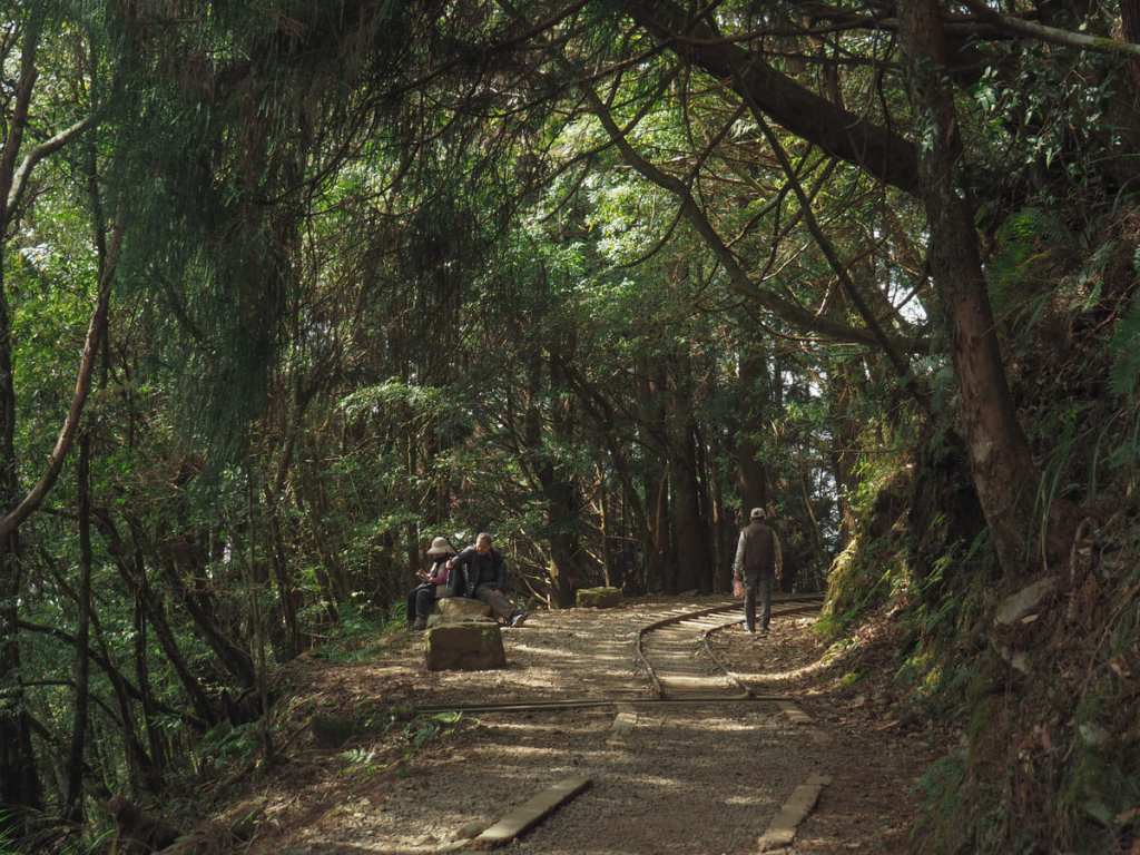
From this point on, I was following the literal track of Shuishan Logging Railway (水山線).

This was one of several mountain railway branch lines built by the Japanese to help them in their efforts to extract precious red cypress wood from Taiwan’s high mountain forests. In the past, it connected to the Dongpu Branch Line at Zizhong (the starting point of Tefuye Historic Trail), and from there, it was just a short ride down towards the main line of Alishan Forestry Railway.
The remainder of the day’s walking was pleasant, relaxed and scenic. Knowing that Teresa wouldn’t be arriving at the trailhead for a couple more hours, I ambled leisurely along the old tracks enjoying the forest views.

In some sections, the tracks have been preserved almost as they were originally, while in others just a hint of them remains. A couple of the old trestle bridges have also been left for hikers to marvel at the historic feat of engineering (or just walk over without noticing).

13:32 – Right beside the 2.7-kilometre marker, I saw another MSTW signboard indicating that there was a sub-trail on the right that I could take if I wanted to. I was entirely unaware that this was here, so I took a photo of the sign so that I could do a little bit of research later on to figure out whether or not I wanted to head that way the following day.
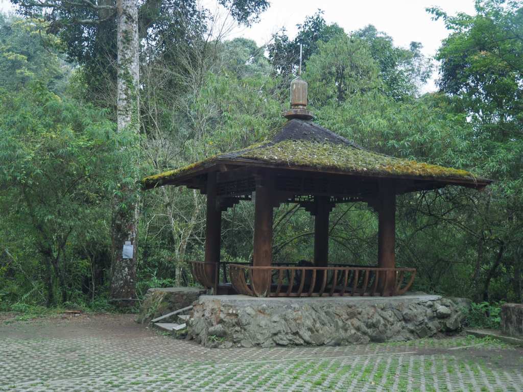
13:59 – There are many log benches alongside the path, and as I got close to the start, I passed the trail’s only rest pavilion. (It was chock full of retiree day-trippers.)

14:25 – I should have dragged my feet a little longer, because I arrived at the trailhead way, way before Teresa.
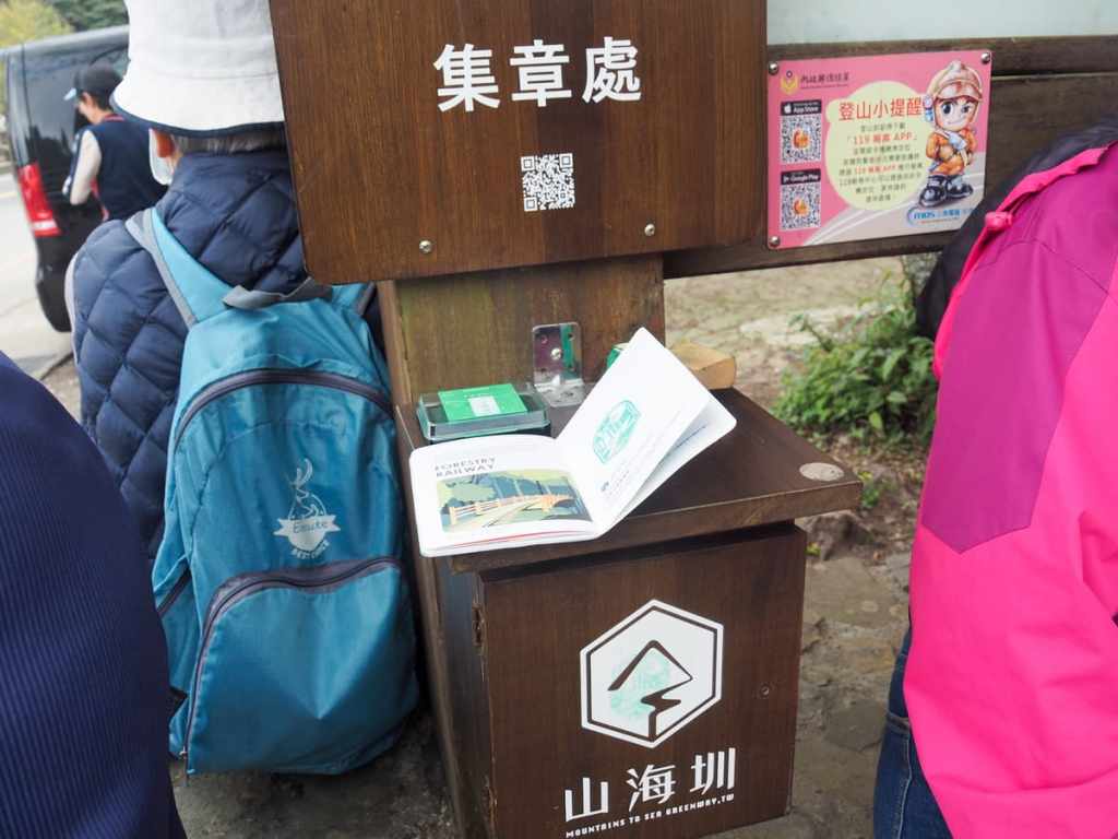
There is a stamp kept here on one of the posts of the trail’s information board, so I stamped my trail passport then set about waiting for Teresa to arrive.

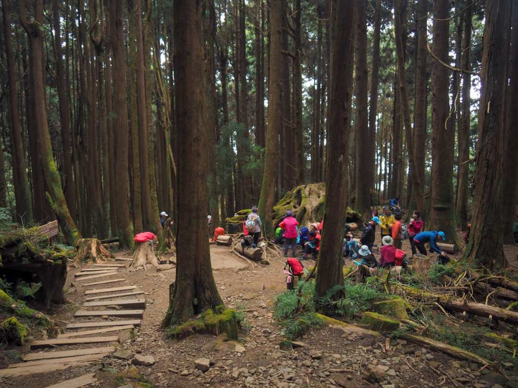
At first, the place was very busy, full of literal bus loads of tourists, including one American woman who spoke to me directly in Chinese with no hint of an American accent, it was quite the experience. The area started to become quieter after around half three and I can tell you from experience, Taiwanese people are NOT relaxed about a foreigner being up in such a remote place with no obvious friends or methods of transport. I had so many “are you OKs” and “do you need helps” and was the subject of even more conversations between people who never spoke to me directly.

By four o’clock, the place was almost deserted. I saw the drink and snack vendor shutting up shop, observed the crow that kept flying between the branches of a nearby cherry tree and the very top of a more distant cedar, watched the cats fail many times (and then succeed once) to stalk birds, listened to a lonely three-legged dog making its mournful howls, and began putting on layers as the temperature dropped. Once or twice, the clouds covering the summit of Jade Mountain were whipped away by winds and I caught the very first glimpse of my destination.
Teresa’s finally arrived about two hours after I had, and we cooked dinner on the picnic table under the shelter of Fuan Temple’s awning. That night, we slept in the car right there at the trailhead.
GETTING THERE
GPS location:
- Start point – N23 27.215 E120 45.000
- End point – N23 29.040 E120 49.810
Accommodation:
Staying in Dabang and Tefuye – There are quite a few options in Dabang and Tefuye. I have to confess that price was my main consideration in picking this location, but it was perfectly OK.
- Name in Chinese: 青秀芳山莊
- Address: 605嘉義縣阿里山鄉達邦村1鄰14號
- Contact: 052511018
- Cost: $800 for a room with one double and one single bed (although I think my price was for single occupancy). This place doesn’t provide breakfast.
- Booking methods: telephone
- Clothes drying facilities: There is a spin dryer and a place to hang up your clothes.
Accommodation near the Tefuye Trailhead – There isn’t any accommodation near the Tefuye Trailhead. Teresa and I slept in the car by the side of the road here, but that won’t be an option for most people. If you haven’t been stealth camping the whole way, there are basically two courses of action you can take. The first would be to find a hotel that’s willing to do a pick-up and drop-off service. There are quite a few (pricier) options in Alishan National Forest Recreation Area and maybe one or two near Shizilu Station. The second possibility would be to walk (or hitchhike) 12 extra kilometres along the road to Dongpu Lodge (details on booking this in the next post). The road walking is part of the MSTW, so that would mean your next day is shorter.
MOUNTAINS TO SEA GREENWAY DAY 8 TRAIL MAP
GPX file available here on Outdoor Active. (Account needed, but the free one works just fine.)
