Muma Historic Trail is one of several hiking trails located within the bounds of Daxueshan National Forest Recreation Area. Being neither the longest, nor the shortest, not the easiest, nor the toughest walk in the park it presents a pleasant, middle-of-the-pack hike for anyone hoping to explore the area.
I walked it as part of a work visit to the park, and so had a bit of a time constraint to work with, but if you have more time, I would. highly recommend looking into taking one of the extended options that allow you to skip the road section and loop back to the visitor centre via another trail.
Distance: About 6.5 kilometres with options to vary slightly.
Time: 2½-3½ hours for the route covered here.
Total ascent: Around 450 metres.
Difficulty (regular Taiwan hiker): 2-3/10 — For someone used to hiking in Taiwan, travelling to the trailhead is going to be as challenging as the trail itself. There’s a bit of elevation gain, but that’s it.
Difficulty (new Taiwan hiker): 4-5/10 — For those who are new to hiking in Taiwan, this walk is likely to be moderately challenging on account of the steep ascent and descent at the start and end of the trail, some rough surfaces, and the length. However, it’s easy to navigate and a lot of the trail is rather gentle.
Risks and dangers: Overall, this is a pretty safe trail, but given the elevation, the weather conditions are apt to change quickly, so keep an eye on the forecast before setting off.
Water: I took 0.5L and drank a little over half on a pleasant February day. There is a water dispenser in the visitor centre and the restaurant also sells some snacks and bottled drinks.
Shade: This trail is mostly shady, but given the higher elevation, levels of UV radiation are also higher, so plan accordingly.
Mobile network: Reception was generally OK with a couple of weak spots.
Enjoyment: While I don’t think this would be my favourite trail in Daxueshan National Forest Recreation Area, it is quiet and pretty and passes through some lovely forest. If you don’t have the stamina for the longer walks, this is a good alternative.
Other:
Bathroom facilities: There are toilets available at the visitor centre at the start of the trail.
Route type: Loop.
Permit: None needed, but you do need to pay to enter the park.
Jump to the bottom of this post for a trail map and GPX file.
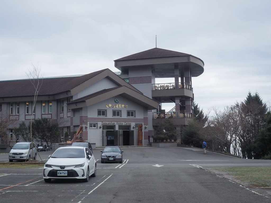
The walk starts and ends at Daxueshan Visitor Information Centre. If you’ve never been to the park before, it’s well worth popping in to have a look at the displays and learn about the kinds of plants and animals you’re likely to see on your travels. The leaflets detailing the many bird species in the park are especially useful.
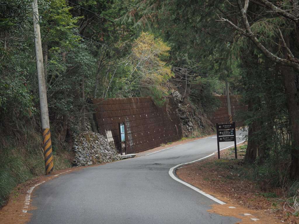
Once you’re ready to set off, turn right out of the carpark and follow Daxueshan Forestry Road for a couple of hundred metres. (Actually, you could just as easily do the loop in the opposite direction, but an anticlockwise loop means you’ll be coasting down the trail and back up the road, which is somehow slightly more pleasant.)
Before long, you should spot a map and sign board denoting the start of the trail.
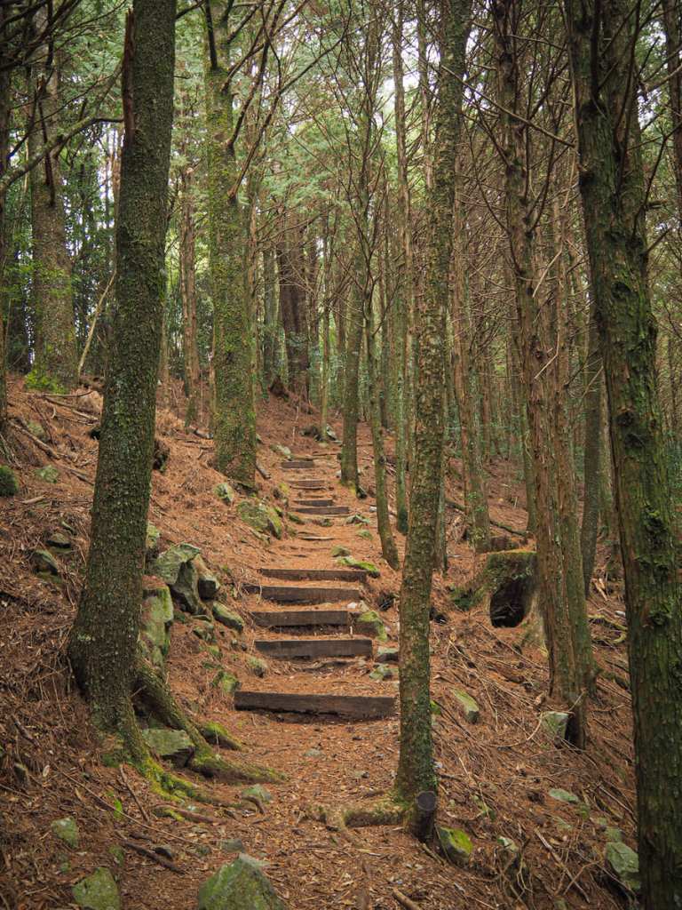
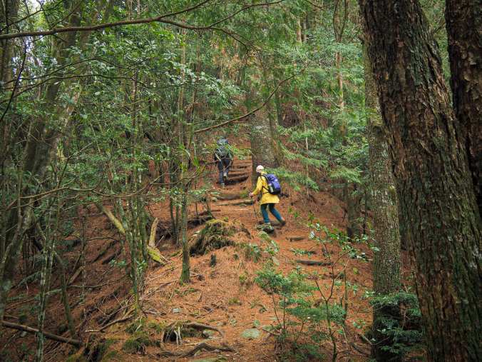
From the road, the trail climbs steeply through densely forested land for a neat kilometre.
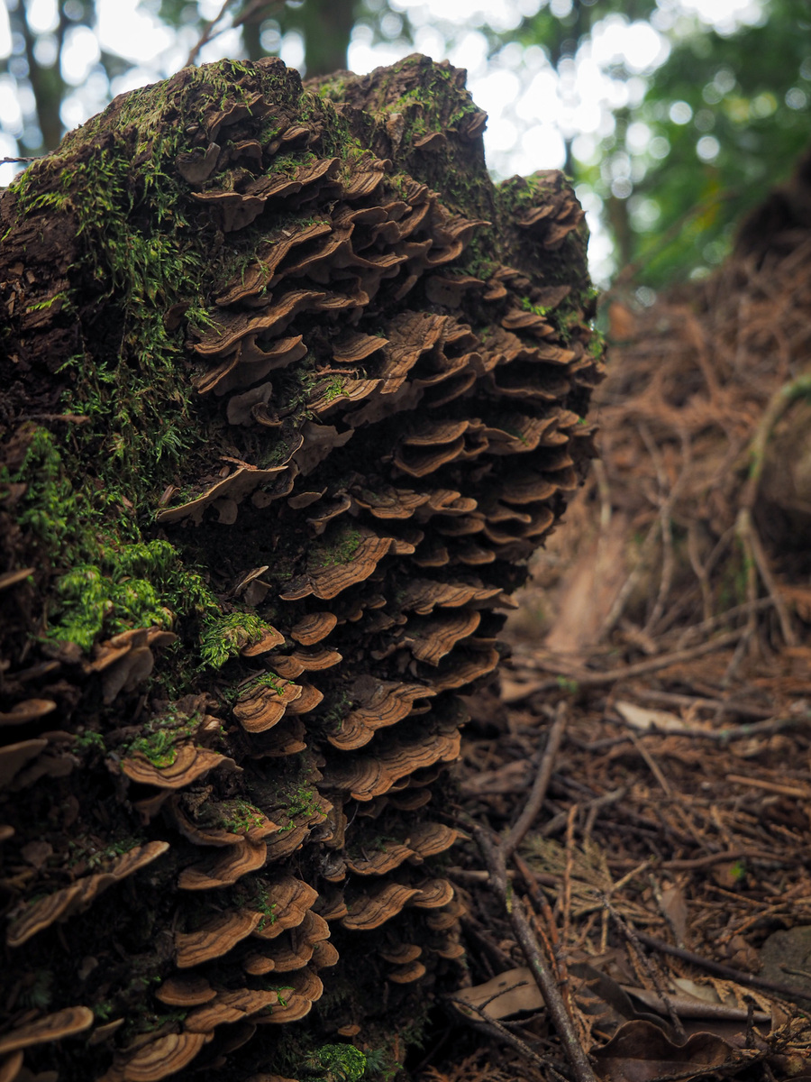
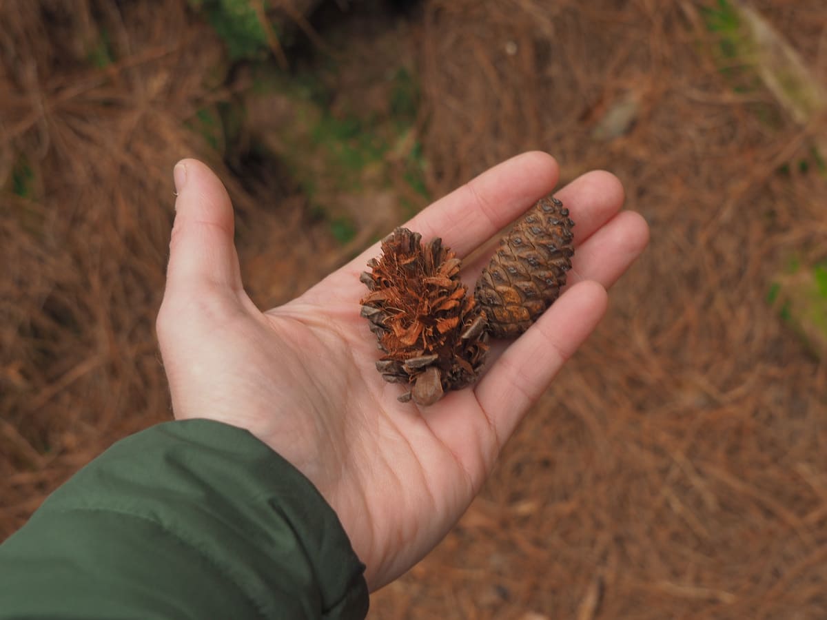
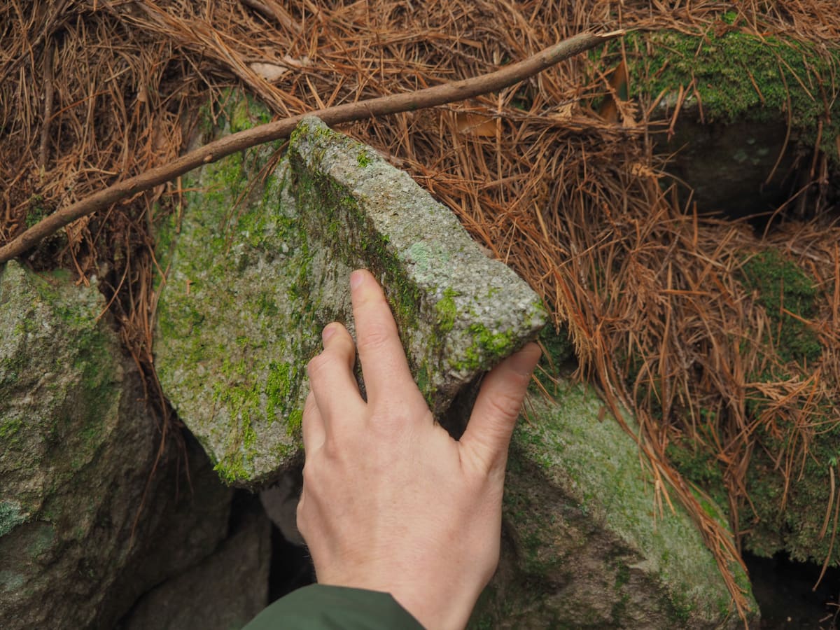
Thankfully, the calming scenery and distracting details help to distract from the relentlessness of the climb. I found much to look at in the form of mushrooms, pine cones (I wish I’d amassed a collection of the many different varieties we saw), and the pleasing glittery quality of the rocks.

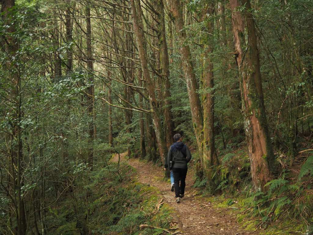
There were few other hikers on the trail. In total, I think we were passed by this couple and encountered two small groups coming in the opposite direction.
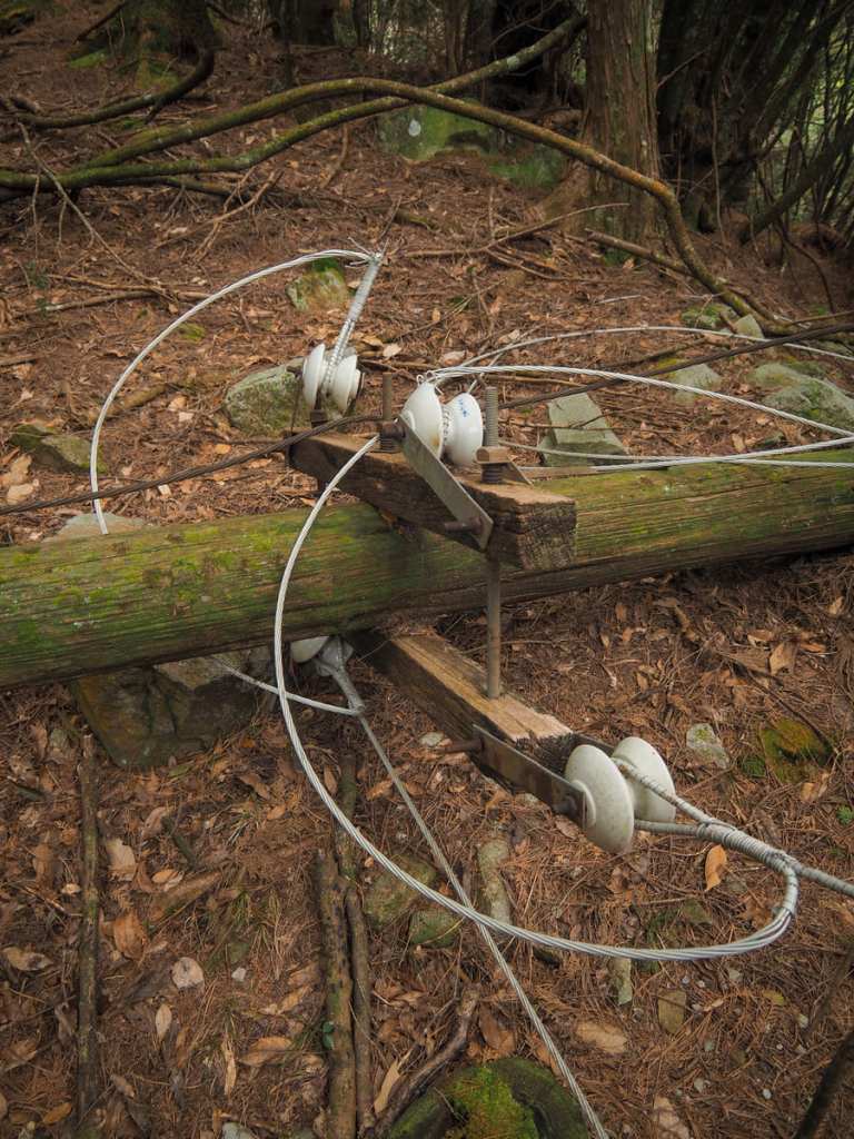
Like with a lot of the trails in Taiwan’s old logging areas, you can still spot a fair amount of historic infrastructure littering the forest. Here, an old electrifying and telecommunication line snakes through the trees, sometimes intact, sometimes not. This pole here had collapsed at sole point.
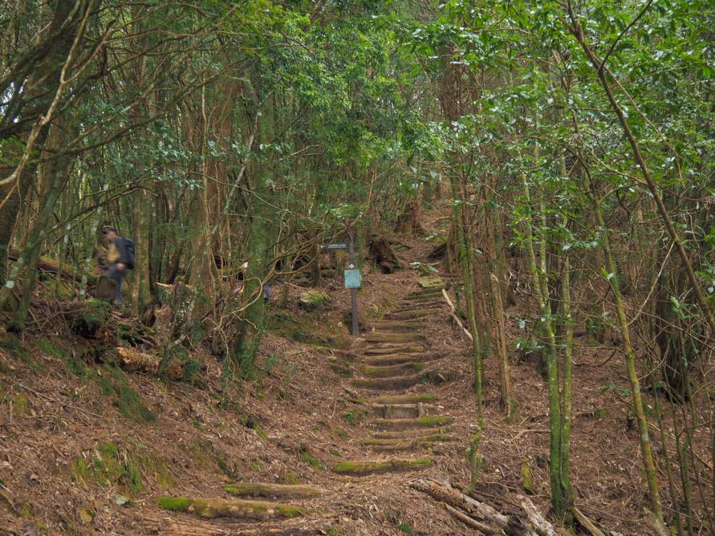
It took our group about fifty minutes to climb to the junction, but if you’re a faster walker, you can probably expect to climb it in 30-40 minutes.
We took a left here and continued to follow Muma Historic Trail, but if you’re looking for an entirely on-trail loop (rather than the trail-and-road combo we took), you could find yourself looping back via the path on the right.
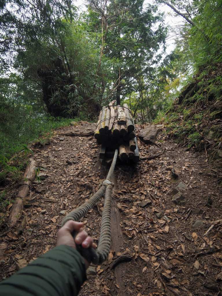
Just beyond the junction, there is a “wooden horse”, one of the logging carts that used to be used to transport logs from deep into the forests to where the trucks could pick them up.
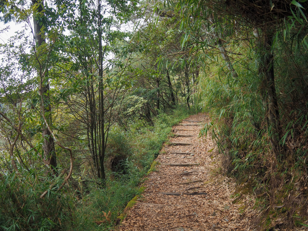
Once you have made the left turn, you’ll find the trail becomes a whole lot easier. From here, we enjoyed about three kilometres or gentle downhill through peaceful forest where the soundscape remained almost entirely unbothered by mechanical intrusion.
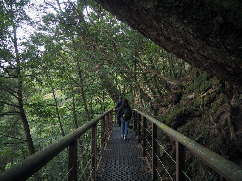
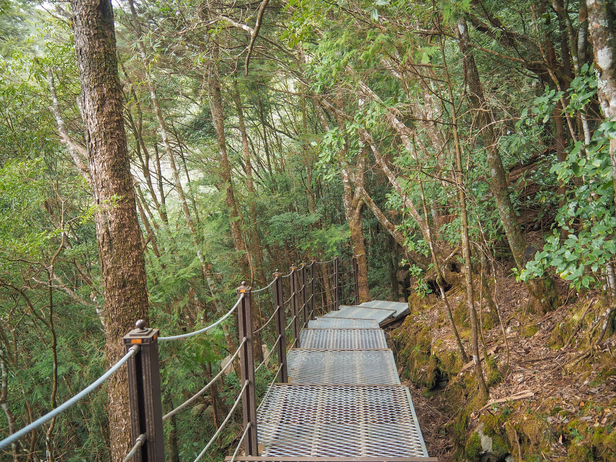
You can tell you’re in a forest recreation area because of the sturdiness and impeccable maintenance on the trails. Where necessary, bridging structures have been built to ensure that even novice hikers can walk safely. We
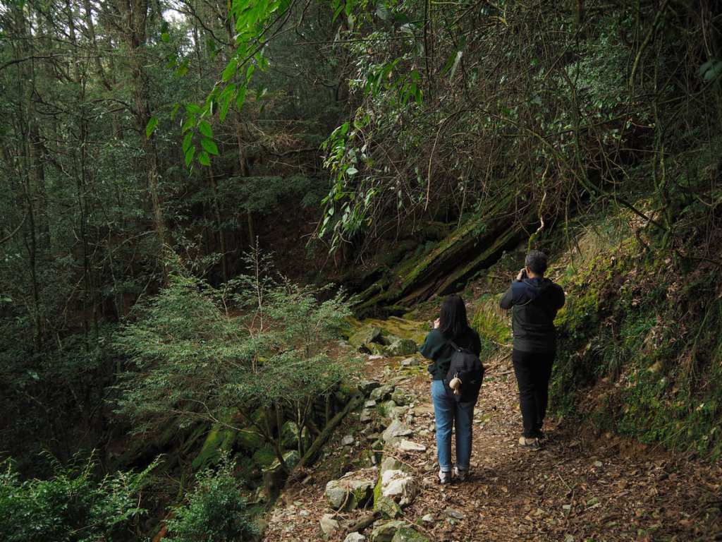
As we approached the halfway mark, we began to encounter a few giants, some living, some fallen, some coated in regal mossy robes, and all impressive.
Even where the trees aren’t giant, the forest is still magnificent. It really is a wonderfully quiet walk.
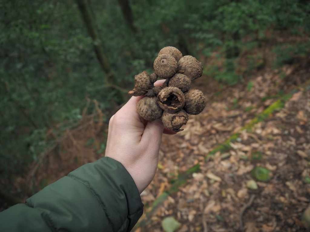
Some rather large and solid acorns. Unlike the ones I’m familiar with from back home, these ones are almost entirely encased in their cups. A fair few of them had been nibbled on by something or other — possibly one of the red and white giant flying squirrels that the park is famous for.
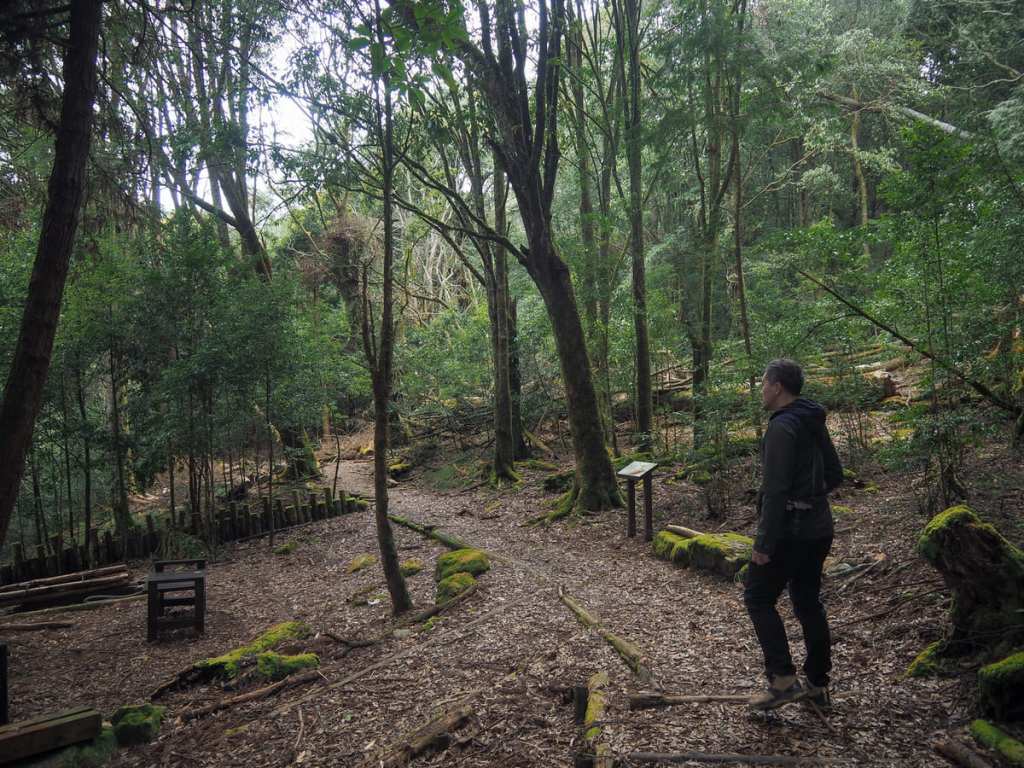
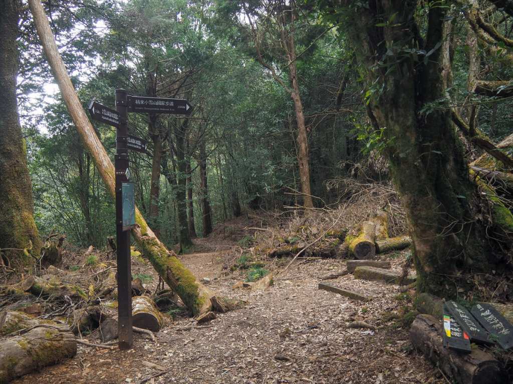
As the trail begins to near its conclusion, we passed through a spacious seating area then found ourselves at a junction. We turned left to head down to the road, but if you’re interested in doing that trail-only loop I mentioned earlier, you’ll want to turn right here.
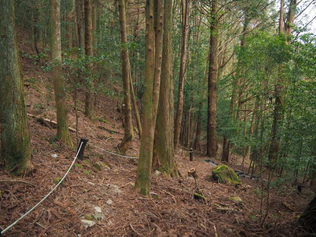
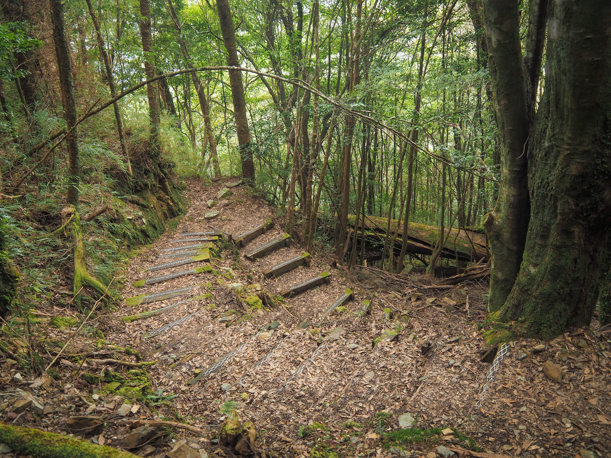
Beyond the junction, the trail begins a steep, zigzagging descent. There’s a rope beside the path, but according to the signage, it’s intended purely as a visual guide and not a walking aid.
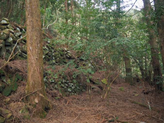
Near the end of the trail, there is a stretch of staggered stone walls. I am absolutely sure this must have something to do with the old logging industry, but I have failed to find anything about it online.
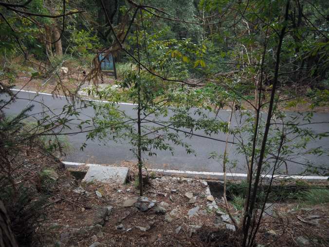
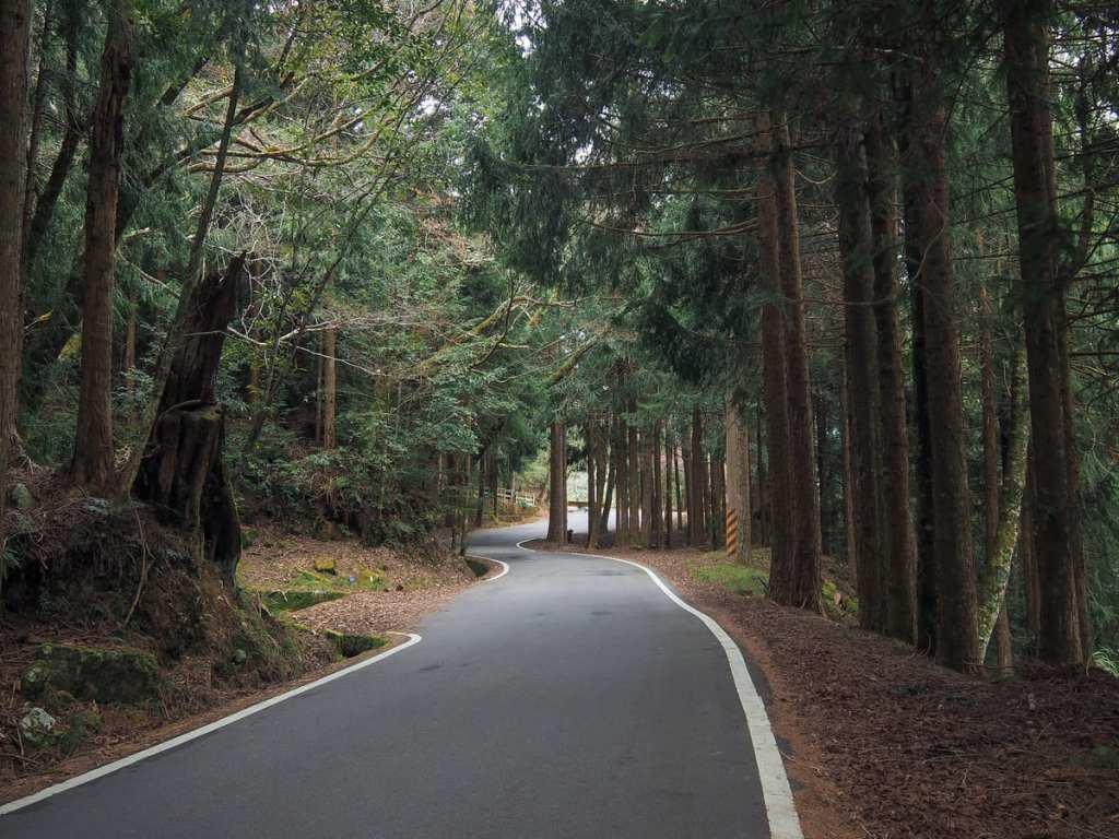
Turning left for a final time, it’s about a three-kilometre walk back up the road to the visitor centre, which — far from being dull — presents a good opportunity to do a little bird spotting.
There’s also an option to take another trail (branching off on the right a short distance up the road), which cuts back to the visitor centre through the trees.

It was late afternoon by the time we were making our way back, so when the trees opened up, we were treated to dreamy views of the “sea of clouds” that Taiwan’s high mountains are famed for.
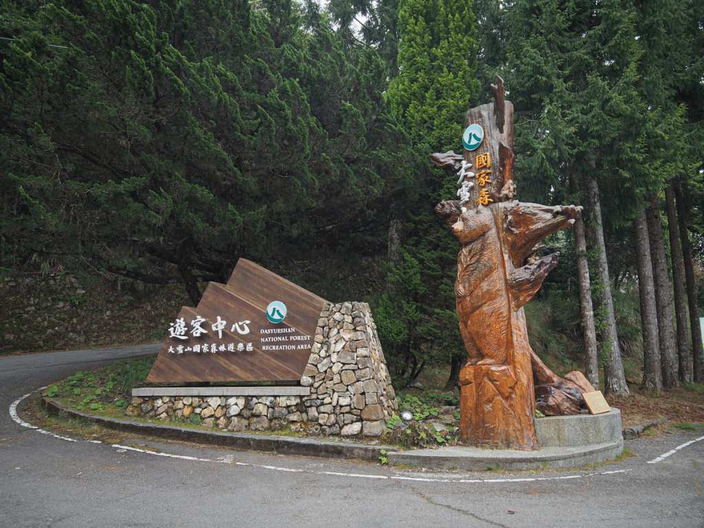
Getting to Daxueshan National Forest Recreation Area
Google Maps address: This walk starts and ends at Daxueshan Tourist Centre and you’ll find ample parking out front.
GPS location: There are two entrances for the park’s Muma Trail.
- Southern (visitor centre) trailhead — N24 15.325 E121 00.550
- Northern trailhead — N24 15.965 E120 59.805
Public transport: These days, Daxueshan National Forest Recreation Area is accessible by bus from Fengyuan Transfer Station. The 889 Taiwan Tourist Shuttle runs several times a day and takes about 90 minutes to reach the park and to do the walk featured here, you’d need to alight at Daxueshan Tourist Centre.
Nearby trails:
- Heavenly Pond Trail
- Mount Wushikeng and Mount Chuanxing
- Xueshan Sacred Tree Trail
- Yakou Lookout Trail
My new words learnt on this hike:
- 規律的 / guīlǜ — regular; regimented (as describing a pattern)
Muma Trail Map
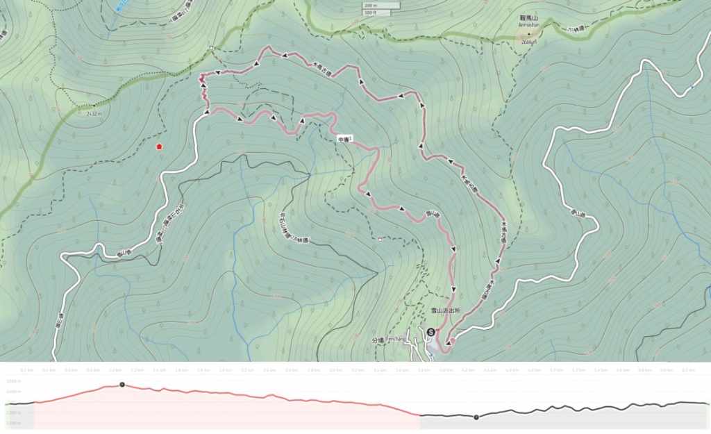
GPX file available here on Outdoor Active. (Account needed, but the free one works just fine.)
