Hiking Elephant Mountain (or Xiang Shan), is frequently listed as being one of Taipei’s top travel experiences. In fact, the Elephant Mountain Trail was one of the very, very first walks I did in Taiwan, before I even lived here. I’ve walked these trails countless times and this site features several descriptions of the routes crisscrossing the area. It’s perhaps strange then, it has taken me the better part of a decade for me to writing it its own post on the site, but I guess better late than never. So, here it is, a quick write-up of climbing Taipei’s most famous mountain.
DISTANCE: About 2.2 kilometres with endless potential for extending in all different directions.
TIME: 1-2 hours depending on your speed and how many photos you take. I spent about an hour and a quarter walking.
TOTAL ASCENT: Almost 200 metres.
DIFFICULTY (REGULAR TAIWAN HIKERS): 2-3/10 – Steep steps and a maze of trails, but really, this should be very easy for anyone familiar with hiking in Taiwan.
DIFFICULTY (NEW HIKERS): 3-4/10 – If you don’t have much experience with hiking trails in Taiwan, these steps are going to be a rude introduction — especially if you go there on a hot day. But while it may be tiring, there’s not really anything overly challenging about this walk.
SIGNAGE: There is clear signage at each junction, but it’s the kind that’s only useful if you know where you’re headed. There are also maps scattered around here and there so you shouldn’t get lost, but it wouldn’t hurt to download an offline map as well.
FOOD AND WATER: I took 0.5L and filled up my water bottle from the water dispenser at the second lookout platform. If you need to get supplies, there are convenience stores close to the trailhead. There are also a couple of coffee shops at the trailhead for when you finish (bring your own cup, they’re take-out only).
SHADE: Most of this trail sits in dappled shade.
MOBILE NETWORK: Network coverage is mostly very clear.
ENJOYMENT: This will never be my favourite Taipei hike on account of the crowds it draws, but there’s no denying that the views of Taipei 101 are mighty fine and once you climb beyond Elephant Mountain, the crowds soon disperse.
SOLO HIKE-ABILITY: It’s absolutely fine to walk this solo. In fact, whether you come at 11pm or 4am, you’re not likely to be the only hiker.
OTHER: This version of the Elephant Mountain hike has been voted one of the top 100 walks in Taiwan by uses of the Hiking Notes (健行筆記) app.
ROUTE TYPE: Skinny loop.
PERMIT: None needed.
Jump to the bottom of this post for a trail map and GPX file.
DIRECTIONS:
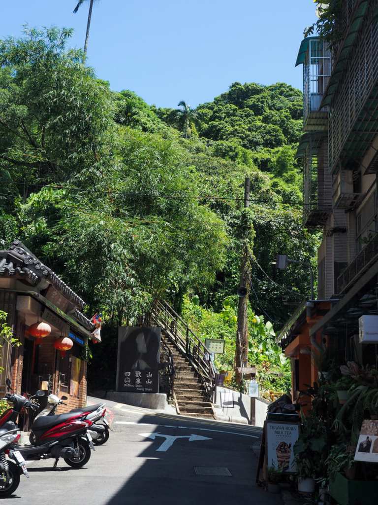
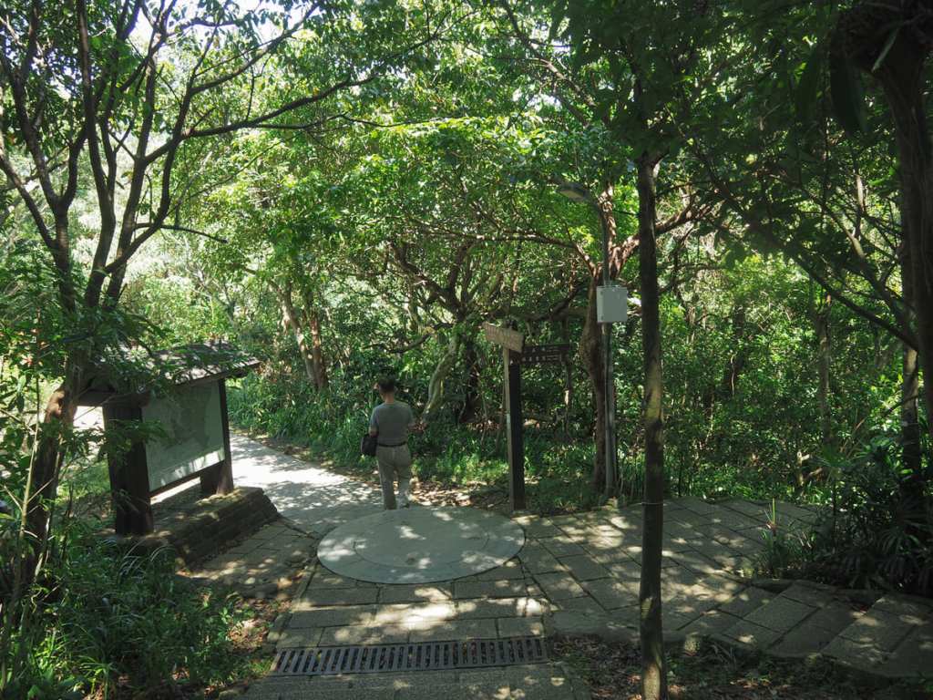
The climb up Elephant Mountain starts from a quiet backroad beside Lingyun Temple (靈雲宮). While I had paused to take this photo, a pair of fit 20-30-something guys who were obviously tourists set off ahead of me, but by the time I got to the first junction (just behind the temple), they’d already had to pause to catch their breath. These steps can feel brutal if you’re not used to them (and even if you are). At the first junction (not pictured), keep right and follow the harder-looking of the two routes.
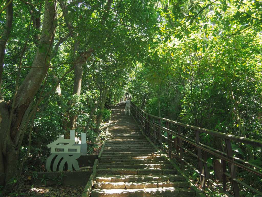
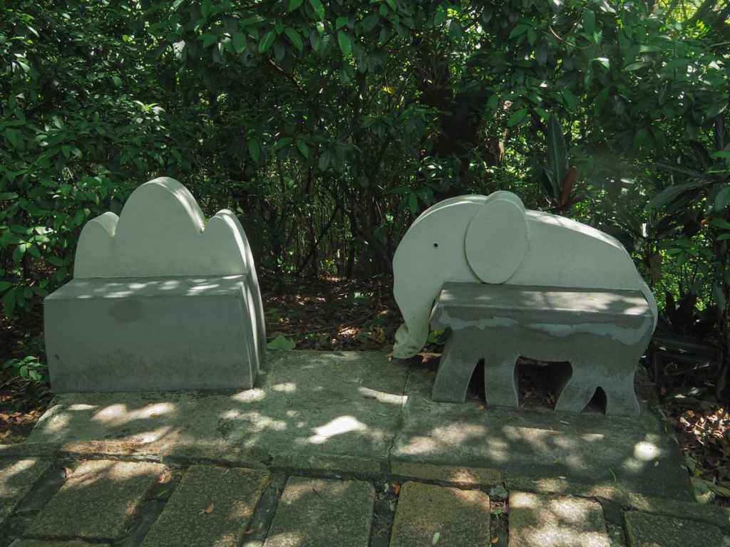
The steps climb relentlessly up through a corridor of green and seats in the shape of elephants or the Chinese characters for Elephant Mountain (“象山”) offer tired climbers a chance to pause and catch their breath.
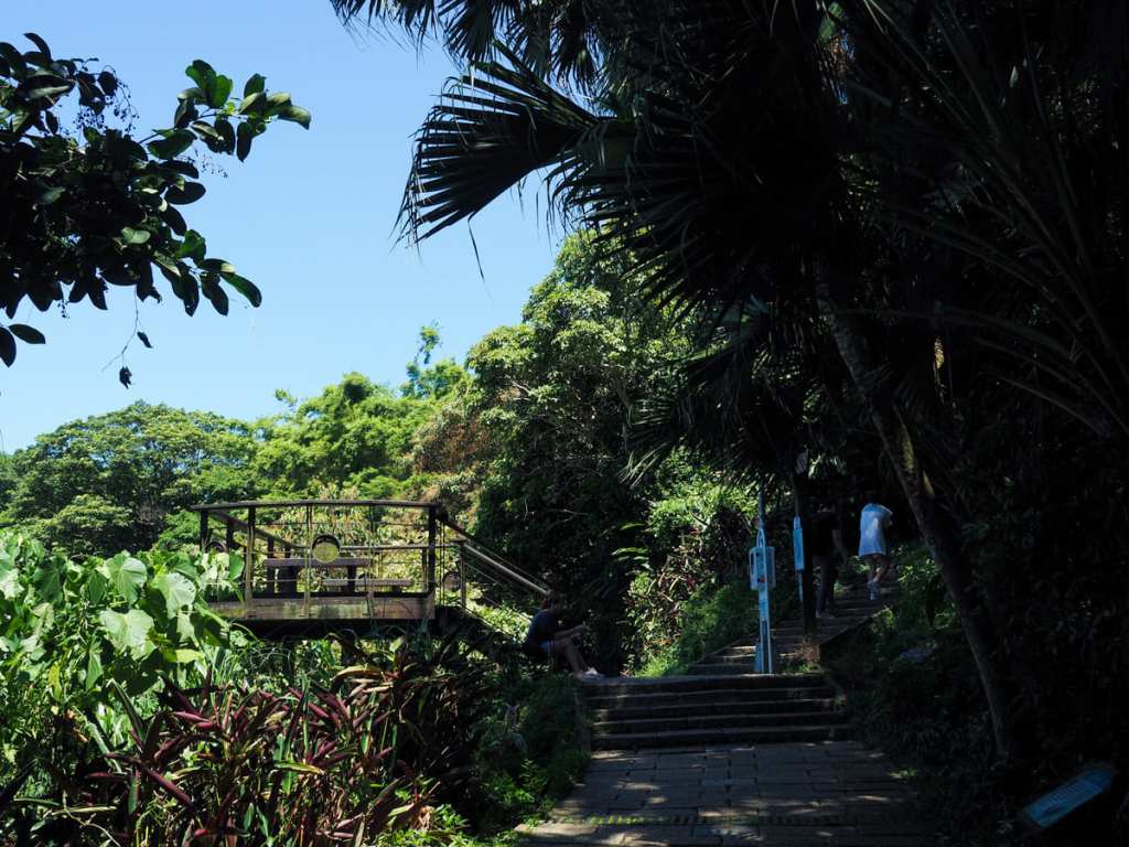
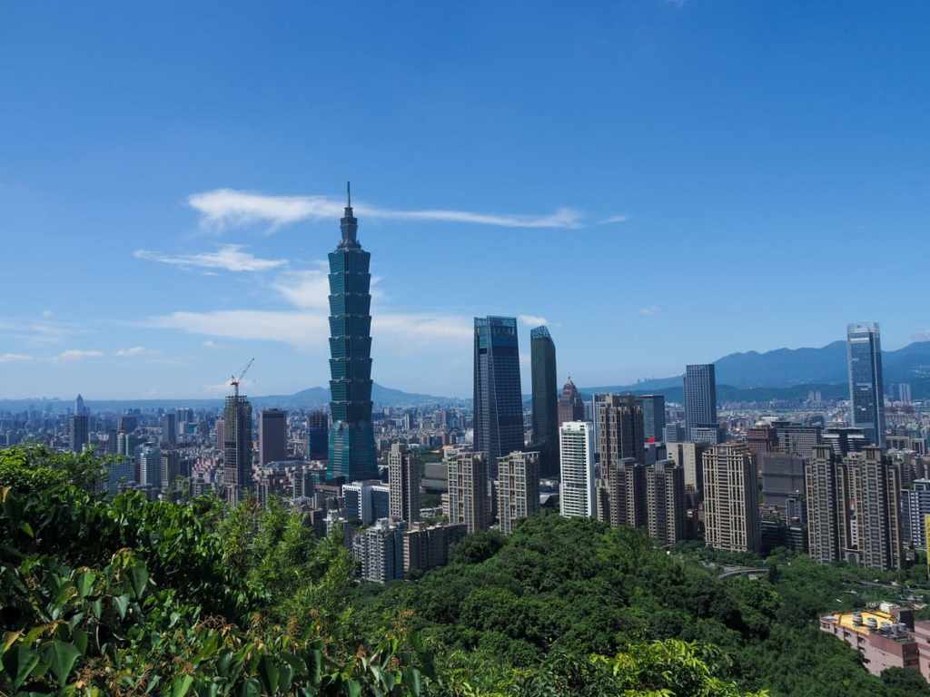
It takes about ten minutes to climb to the first lookout platform. From here, you get your first view of Taipei 101 and surrounding buildings.
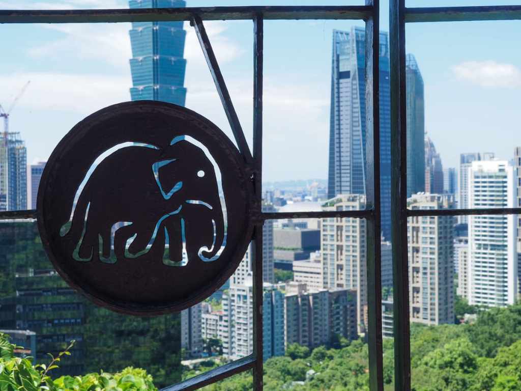
Elephant detailing on the railings. Some visitors never get any further than this, but if you’ve got the stamina, it’s well worth continuing, because this lowest platform doesn’t have the best views.

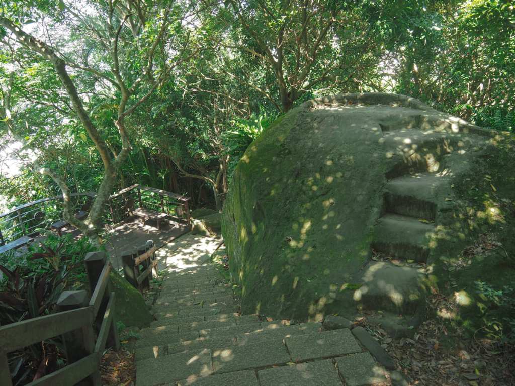
To continue, take the stairs heading upwards immediately behind the lookout platform. As with the start of the trail, the steps climb steeply, passing a stone that’s been painted white and engraved with large red characters reading “象山”.
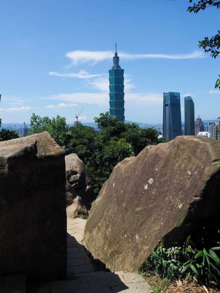
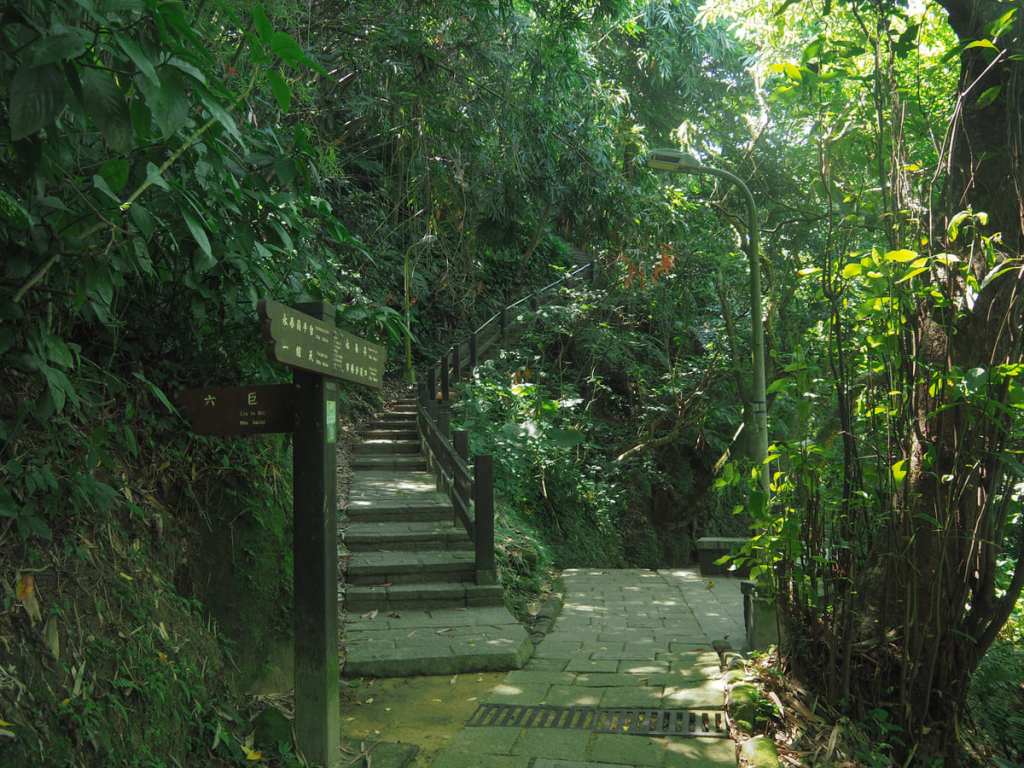
About five minutes after leaving the first lookout, the trail arrives at the cluster of six giant boulders that have become a popular photo spot for visitors to the Elephant Mountain Trail. Notches carved in the boulders’ southeasterly faces assist those who wish to scramble up for a memorable selfie in which they stand as tall as Taipei 101.
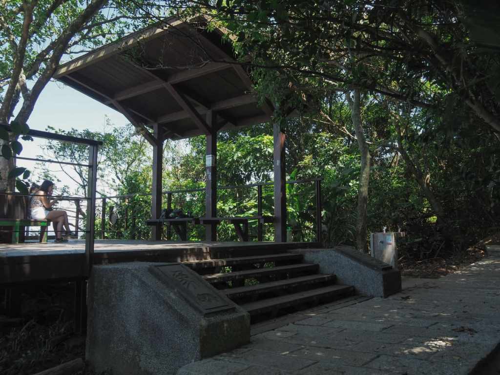
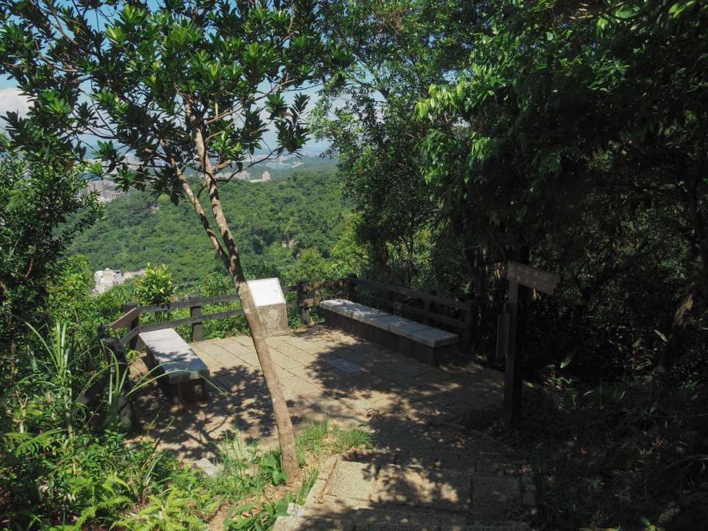
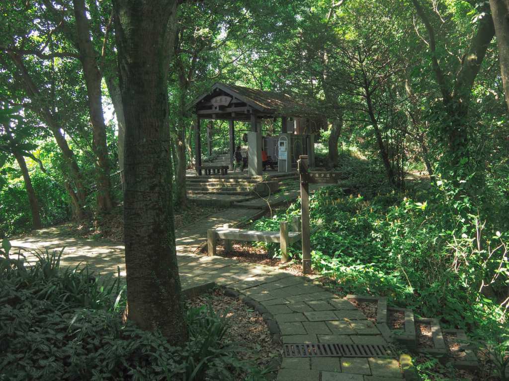
I was hiking solo, so I had no one to be my model, and instead, I just continued onwards to the next rest area. This can be found a minute further uphill and on a little spur trail to the left of the main path.
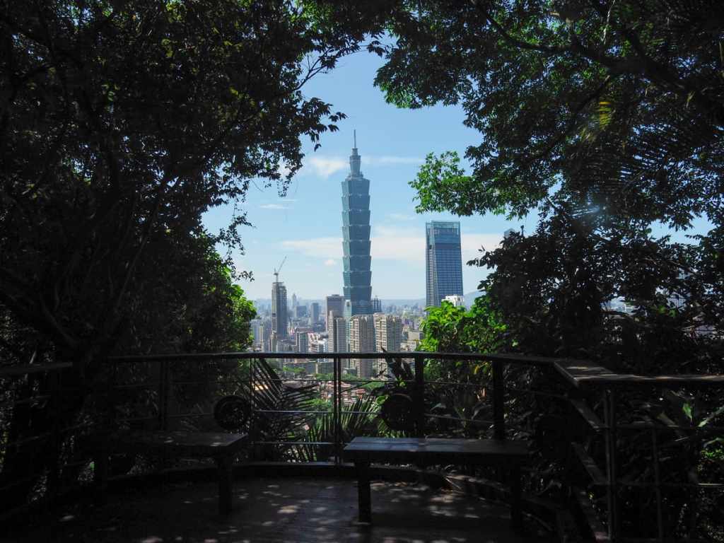
This lookout has a sheltered pavilion and a water fountain/tap where you can replenish your supplies. It also has a much better view than the slightly lower platform. Right behind Taipei 101 is Mount Guayin, while to the right, the slopes of Mount Datun rise to meet Mount Qixing.
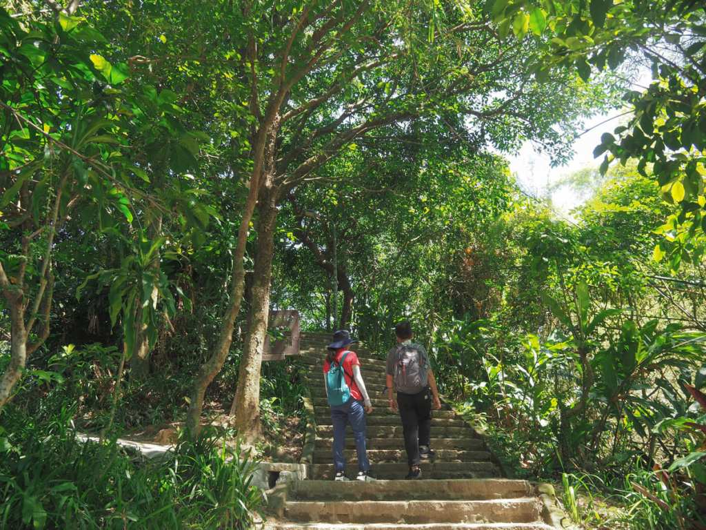
Now you’ve made it this far, you may as well complete the rest of the loop. You’ve done the majority of the climbing, and besides, how can you say you’ve climbed Elephant Mountain until you’ve actually made it to the summit marker.
Continuing up, the trail passes through an exercise area. When I’ve come here to do sunrise hikes in the past, this area is often full of early risers getting their daily squats and pull-ups finished early. Keep to the left as you pass the exercise area, and you’ll find yourself at a clearing with a wooden summit marker and some seating.
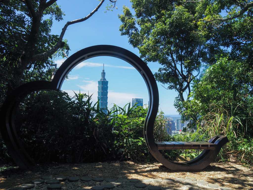
The authorities have also furnished the summit with a kind of heart frame and bench combo, although the grasses have grown a bit since it was installed, so the effect is now no longer quite so impressive.
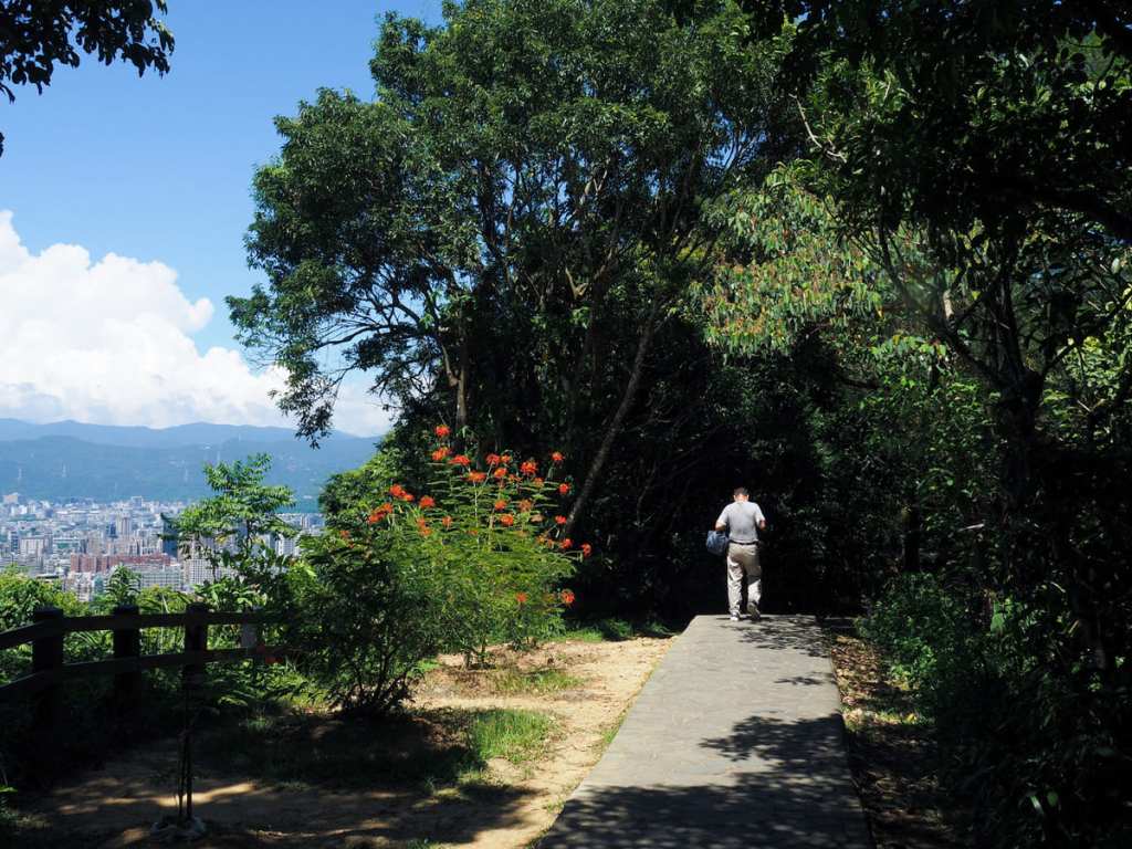
As you head onwards, take the left turn at the next junction (right heads up to Thumb Mountain and Mount Nangang), and walk along a low ridge (it feels high when looking at the city, but if you view this ridge from up on Thumb Mountain, it looks piddly).
The expansive city views up here are the best that you’ll get on this trail.
Keep following the path as it starts a gradual descent. Then, when you reach a junction overlooking Yongchunpi Wetland Park, head left and down the more established-looking of the two options (this one is all steps, the other is a dirt trail).
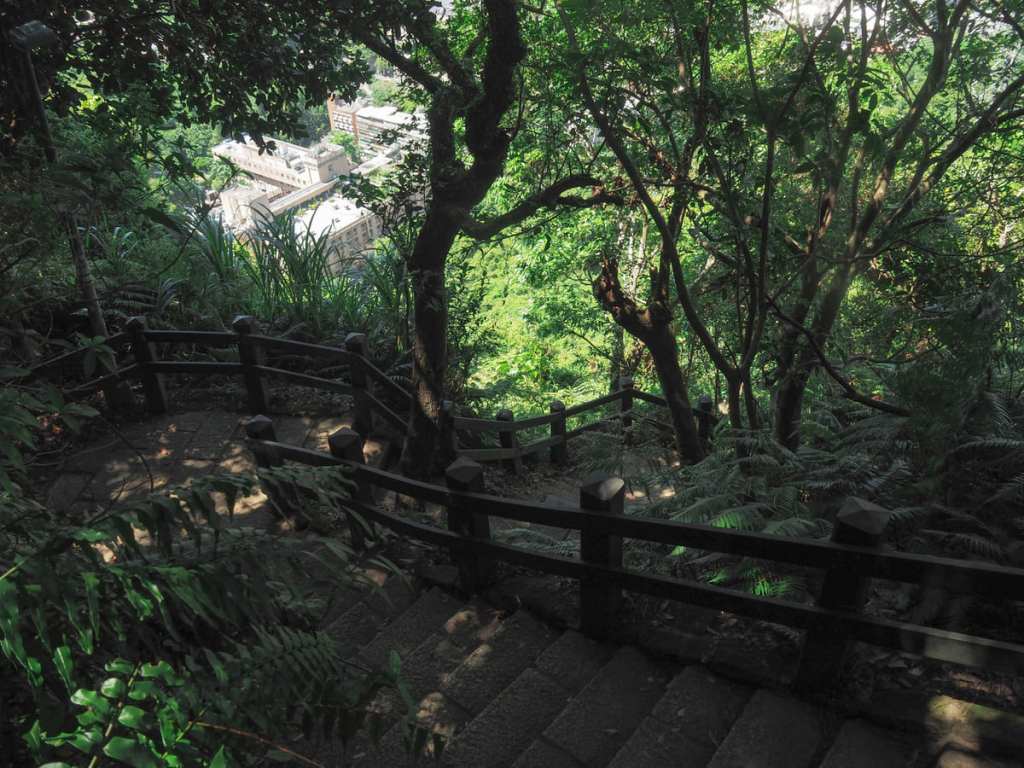
The steps descended so steeply that I felt quite happy I didn’t need to climb them, although in all honesty, it’s probably just unpleasantly steep no matter which way you go.


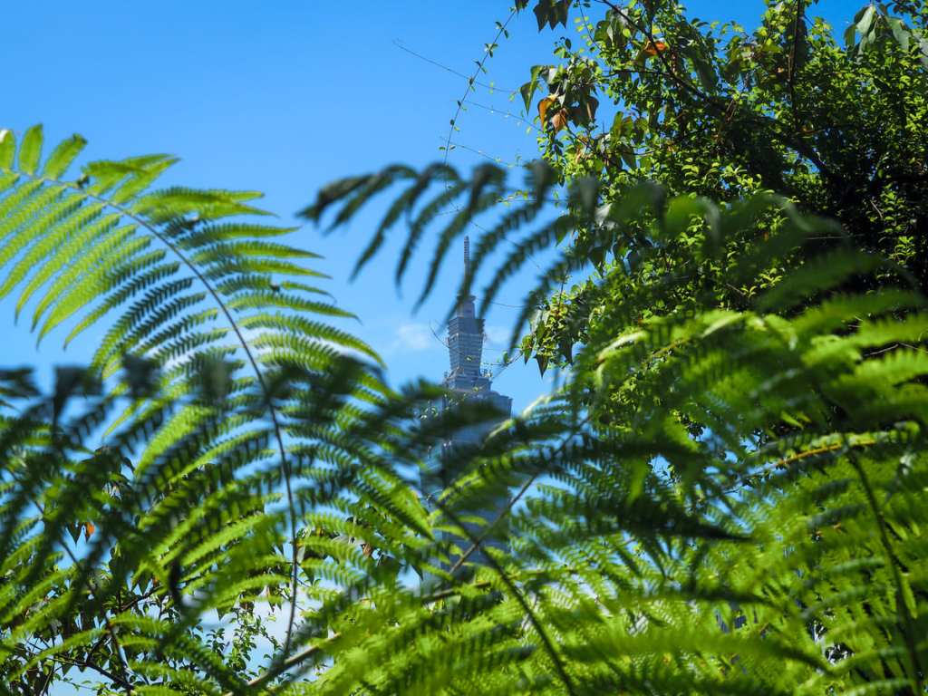
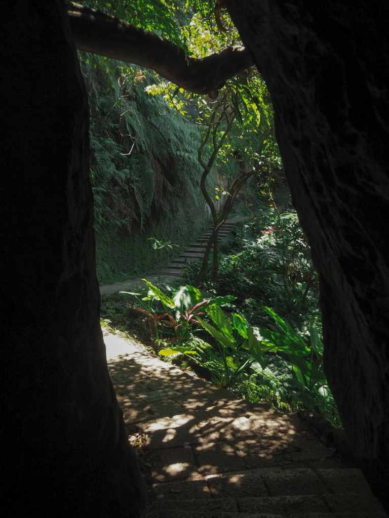
Taipei 101 framed by Formosan sugar palm, bamboo, and sun-dappled Formosan sweet gum leaves.
A boulder marks the end of the stairs (for now). Take a left here, and then take a second left almost straight away following signs for Yixiantian (一線天).
At the junction, there’s another pleasingly-framed view of Taiwan’s tallest building.
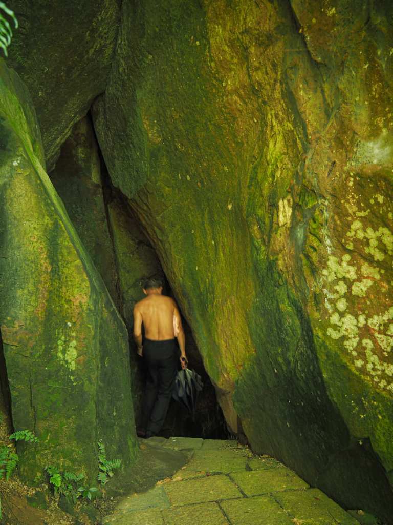
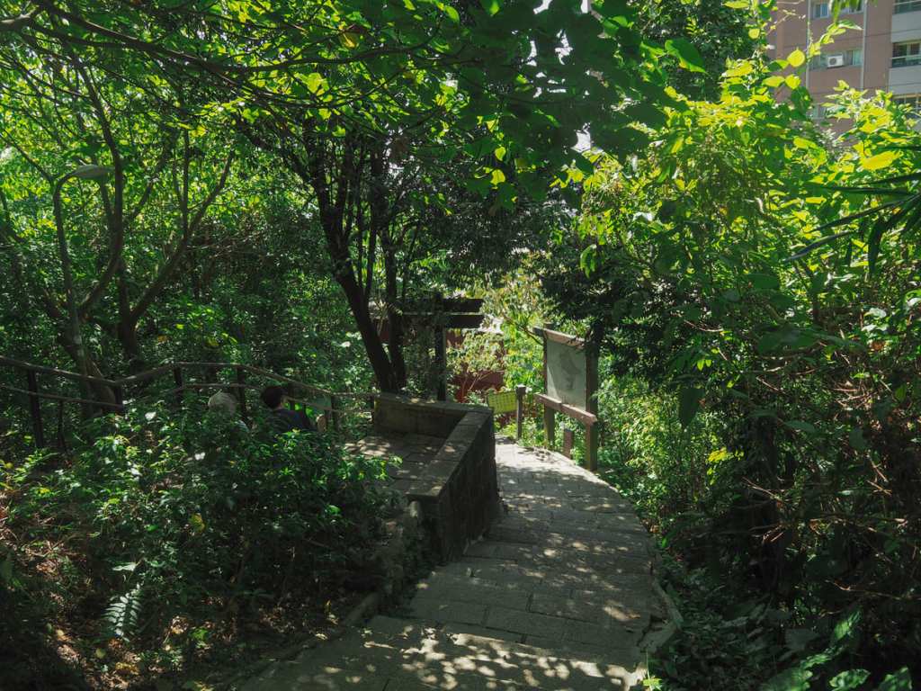
The trail meanders gently along the edge of the hill for a way before arriving at the entrance to the feature signposted as Yixiantian. In English, this means “A Thread of Sky” and is a descriptor commonly used in Taiwan to name or describe both passageways like this that squeeze between two rocks and narrow slot canyons in which — if you glance upwards — you really will see just a thread of sky.
In this instance, the passageway is short enough not to cause claustrophobia. As soon as you step into it, the light from the other side is visible, and then a few steps after, you’ll find yourself emerging on the far side.
From there, the trail passes a tall exposed rockface before coming to a junction. Keep right here (unless you fancy climbing Elephant Mountain a second time).
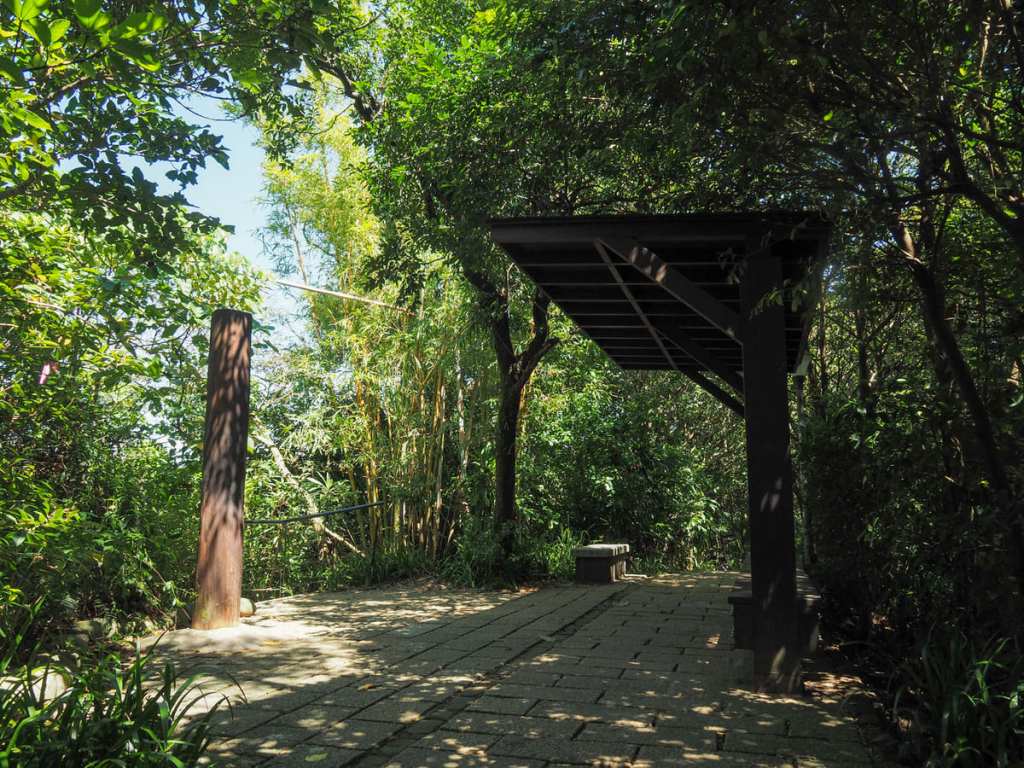
Before long, you’ll find yourself passing a lively rest area. This one has toilets, and thanks to its proximity to the city, it is very popular with chattering aunties and uncles. Follow the main trail as it bends left, then as soon as you’ve passed the pavilion, take the steps leading down to the right.
The steps descend past a couple of outdoor badminton courts (one of which has a small land god temple), and then before you know it, you’re back at the start.
HOW TO GET TO ELEPHANT MOUNTAIN TRAIL
Google Maps address: I started from the trailhead just off of Xinyi Road, Lane 150, Alley 342.
GPS location: N25 01.640 E121 34.245
Public transport: The easiest way to get here is to take the MRT to Xiangshan station and then walk through Xiangshan Park to the trailhead.
Nearby trails:
- Hushan Firefly Trail
- Lion Mountain and Elephant Mountain
- Tamsui-Kavalan Trails – Fuyang Ecopark to Shenkeng
- Taipei Grand Hike – Section 6
- Thumb Mountain
ELEPHANT MOUNTAIN TRAIL MAP

GPX file available here on Outdoor Active. (Account needed, but the free one works just fine.)

Pingback: Hiking Elephant Mountain (象山) – Rex the Veganosaurus –
Pingback: Tapestry of Taipei: Heritage, Innovation & Resilient Spirit - The Next Stop
Hello, and thanks so much for such a detailed and entertaining explanation of these hiking possibilities. Can you explain to me how we reach the lion loop from the elephant mountain?
LikeLiked by 1 person
Sorry I wasn’t finished writing. I read your post which names both, so I figured they were connected, is this the case? I couldn’t understand from the post how to get to lion loop from elephant mountain hike… thanks!
LikeLiked by 1 person
They definitely are connected. Did you say you already read this post: https://taiwantrailsandtales.com/2022/12/24/elephant-mountain-lion-mountain-loop/? This one includes both peaks and overlaps with this post that you have commented on in a couple of places. If you look at the above map, the peak named Shishan (獅山) is Lion Mountain, so you can see how close they are.
Unfortunately, there are just so many overlapping trails in the area that words alone can’t adequately explain it and I can’t upload a picture here, so the next best thing is this Google Maps link which should show both of the routes together: https://www.google.com/maps/d/u/0/edit?mid=1NcngBhqr7sFcAc3iqXDjDDDHSAfu09Y&usp=sharing
LikeLike