
Historic fortifications and coastal views in Keelung
Dawulun Shan is the third of Taiwan’s Minor 100 Peaks, and one of a handful that I can think of which are either home to past military fortifications or else very close to them. (Of the ones I’ve visited so far, Mount Ganziliao, Jiantan Shan, 18 Peaks Mountain and Mount Lidong all feature military relics as part of the scenery.) Dawulun Fort, like its southern neighbour, Ganziliao Fort, is a very impressive location. There are many intact structures to explore, and on a foggy day, the atmosphere is rather special.
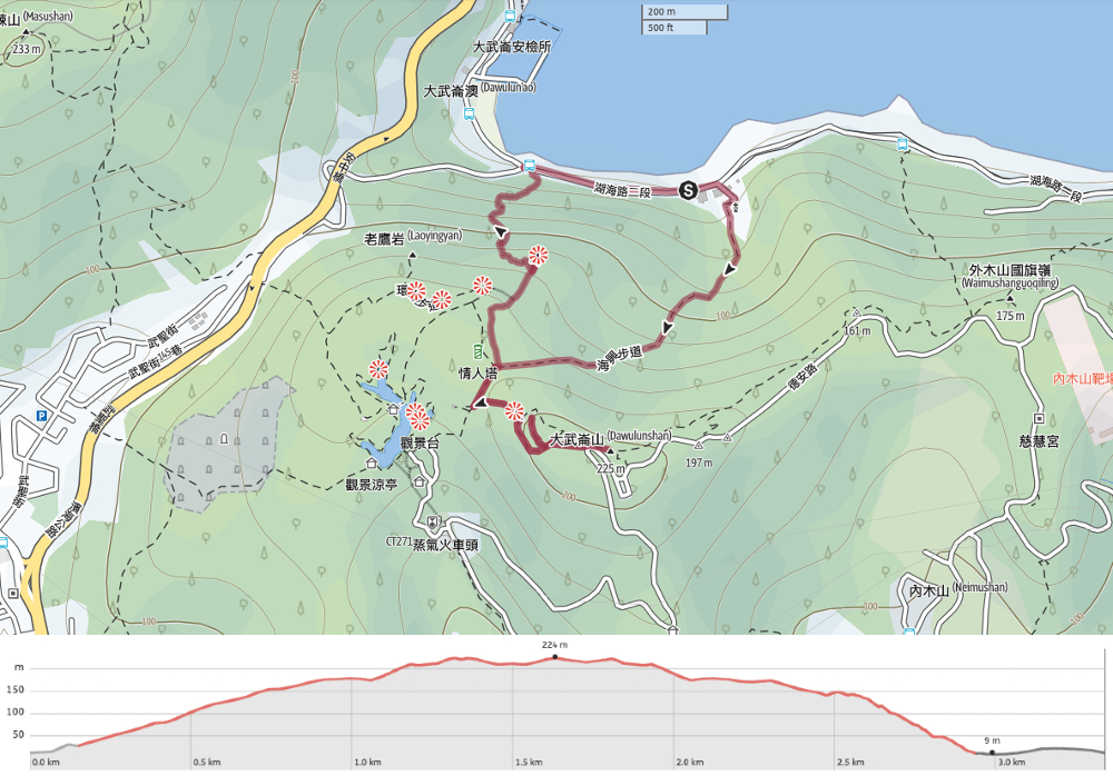
DISTANCE: 3.3km
TIME: A neat 2 hours exactly.
TOTAL ASCENT: A little over 200 metres.
DIFFICULTY (REGULAR TAIWAN HIKERS): 1.5/10 – Some steps and slippery trails, but otherwise easy.
DIFFICULTY (NEW HIKERS): 4/10 – Getting there on public transport will be the first challenge (although it’s really not too bad). After that, the walk shouldn’t be too challenging, just some steep steps.
SIGNAGE: Very clear signage throughout… except for the final turning for Dawulun Shan.
FOOD AND WATER: We took 0.5L each, but barely drank any on a cool day. If you’re hungry by the time you finish, there are a few cafes by Dawulun Beach.
SHADE: On a sunny day, I would have needed extra cover.
MOBILE NETWORK: Pretty clear throughout.
ENJOYMENT: This is a short and sweet loop with plenty of interest. There’s an old fort, one of the Xiao Bai Yue to collect, coastal views, and the possibility of a swim if you come in the right weather.
SOLO HIKE-ABILITY: There would be no problem doing this walk solo.
TAIWAN 100 MINOR PEAKS: Number 3
ROUTE TYPE: Loop
PERMIT: None needed.
Jump to the bottom of this post for a trail map, GPX file and transportation information.
DIRECTIONS:
Numbers by photos refer to the GPS coordinates at the end of the post.
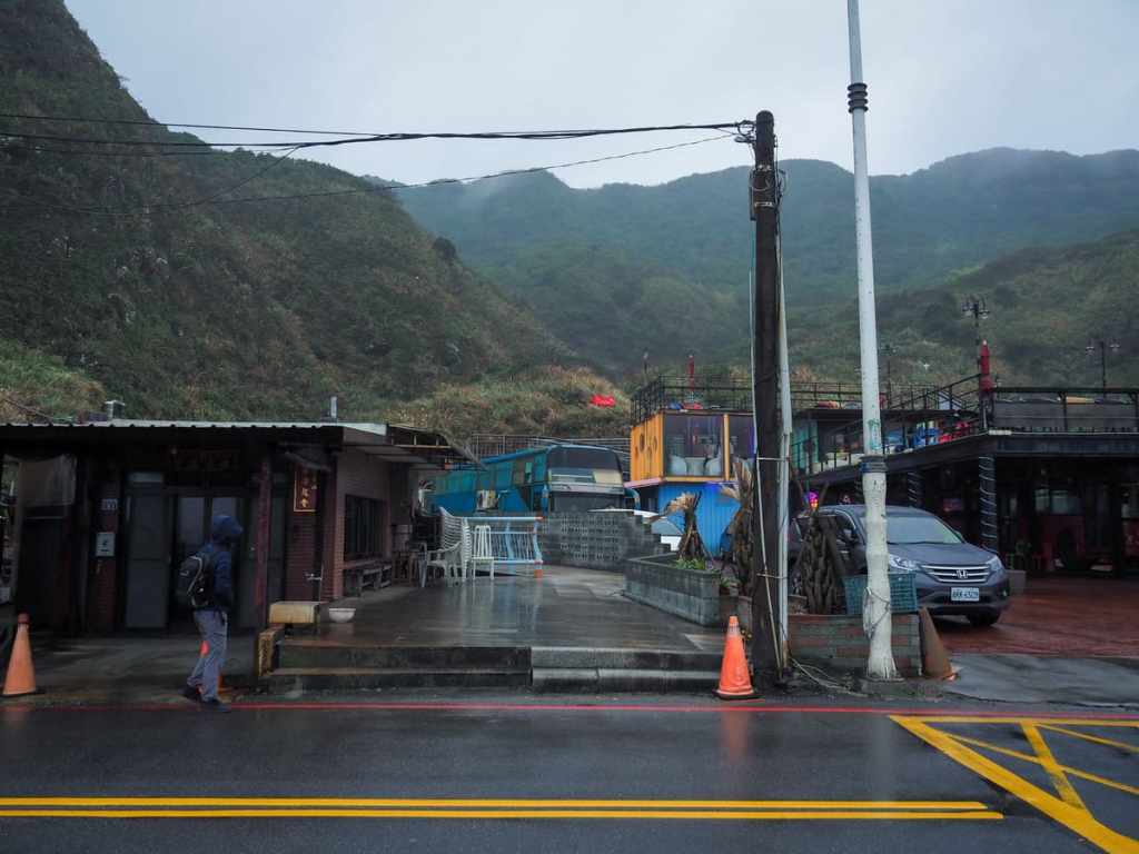
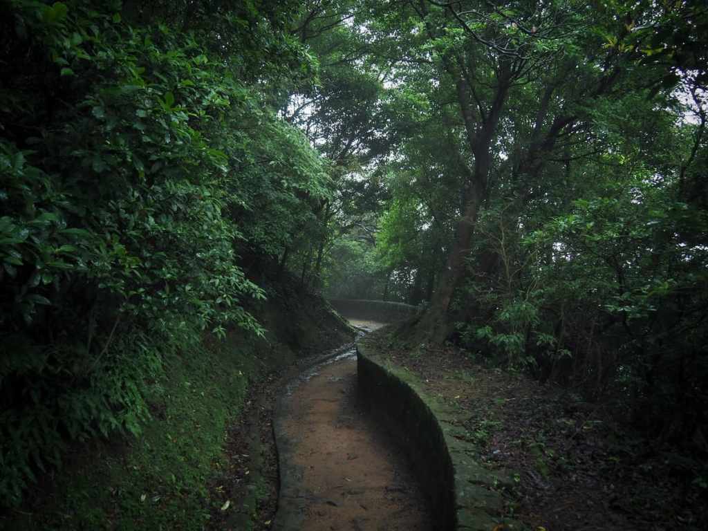
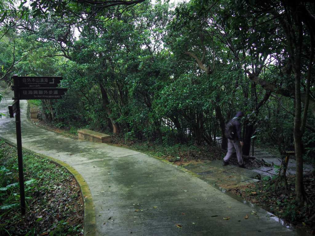
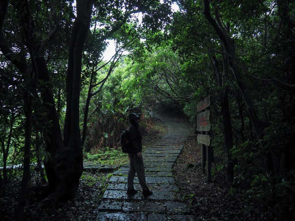
When we’d set off from Taipei, the weather had been dry, if a little grey, but the further east we went, the lower down the clouds were sitting, and by the time we arrived at the trailhead, a light drizzle had started to fall. However, that’s pretty much par for the course in Keelung, so we decided to stick to our plans. The walk leaves the coast by cutting behind a temple, coffee shop and rechao restaurant, then starts off by climbing Haixing Trail. Once a branch of the “Fish Road Historical Trail” (魚路古道), the route was originally used by fishermen transporting their wares from the coast to the city.
As is common on historical trails, this entrance is marked by a small temple. This one is painted an eye-catching red, and bears a plaque declaring it to be over 100 years old.
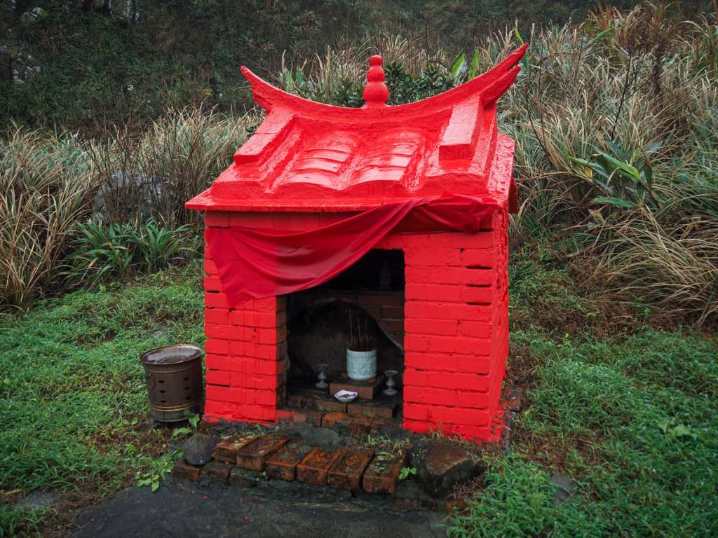
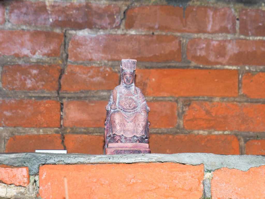
Inside, a simple brick and concrete altar bears the most diminutive little statue. Interestingly, unlike the majority of these tiny way-side structures, the deity enshrined within this one is Matsu. Although given the goddess’s association with the sea, it is not surprising that she would be found here. You can almost imagine the fishermen of old offering her a quick prayer as they returned home safely.
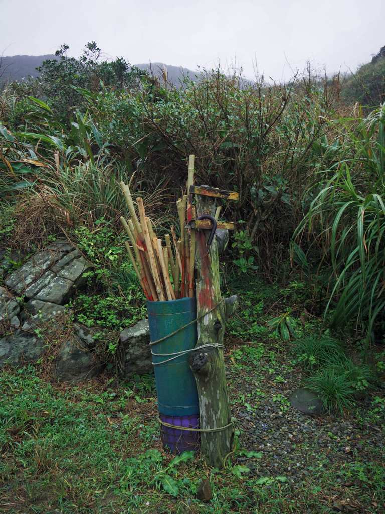
Also by the entrance to the trail was this assortment of communal hiking sticks. The sign asks you to return it after use. (There were containers at the top of Haixing Trail and at the end of the alternative trail that we took to get back down.)
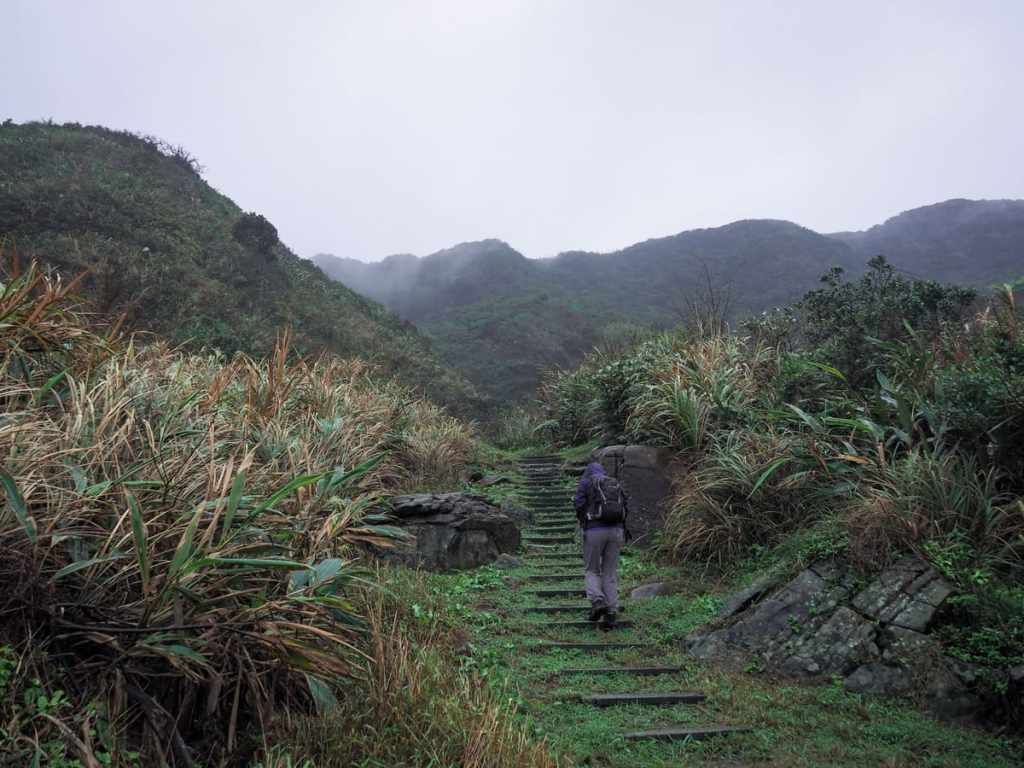
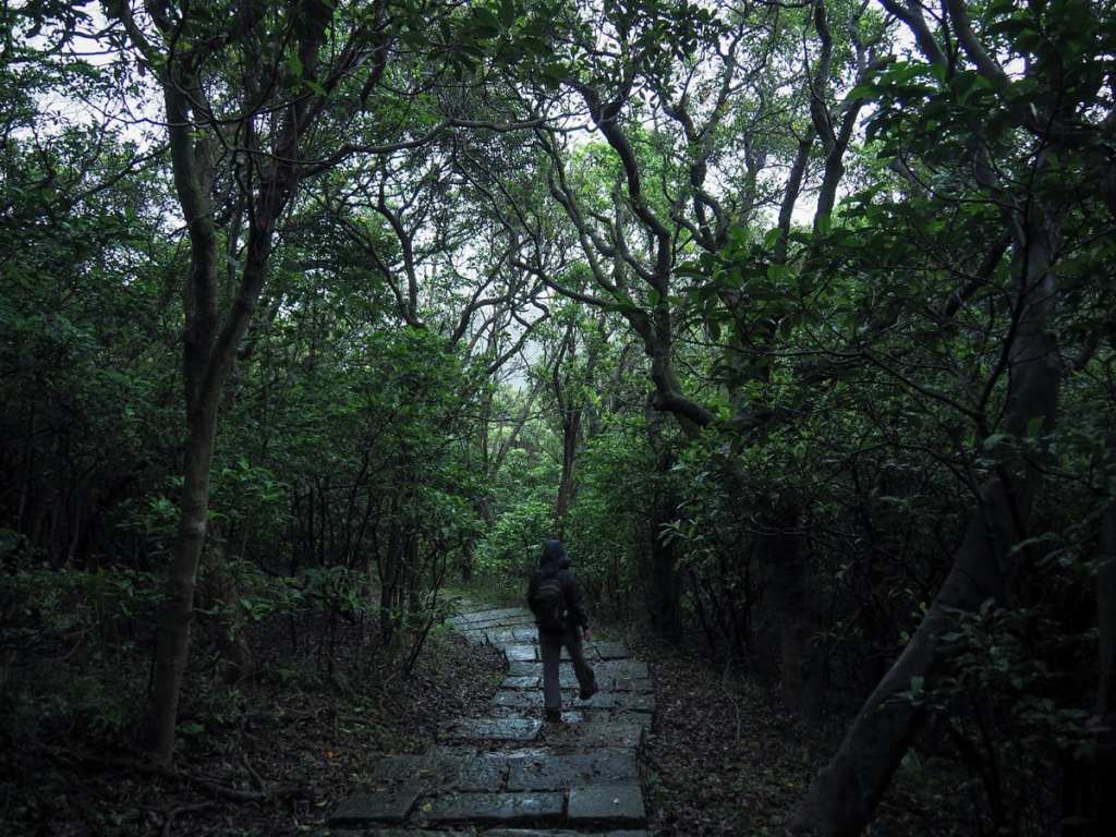
The exposed section of the climb was brief. I enjoyed the mist-shrouded scenery. It’s a sign that we have well and truly tipped over into the cooler month, and it makes me feel very happy (even if that does tend to mean non-stop rain in the north).
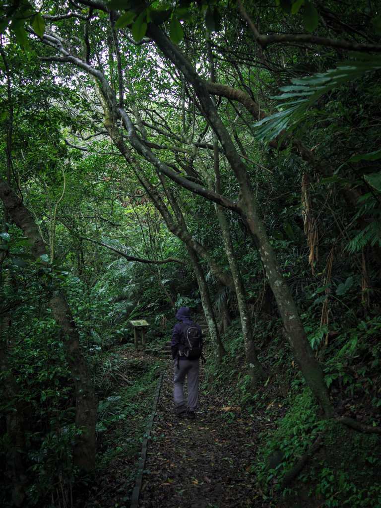
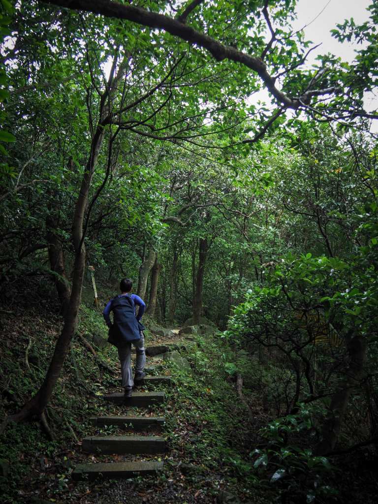
The rest of the climb takes place along a shaded, tree-lined path If you keep your eyes open you will spot lots of stone walls half-hidden in the undergrowth. These are almost certainly the remains of old terraced farms and maybe a couple of dwellings.
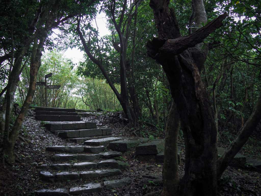
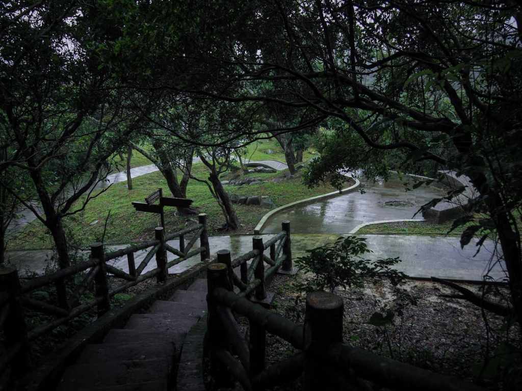
The trail climbs to join the loop running right around Lovers Lake. Take a left turn here and start following the signs for Dawulun Fort. (Later we returned to this spot and took that trail heading back down on the right.)
You can’t see the lake from here, but it’s not far away through the trees on your right. Keep walking until you reach the junction in the righthand image, then take another left and start climbing once more.
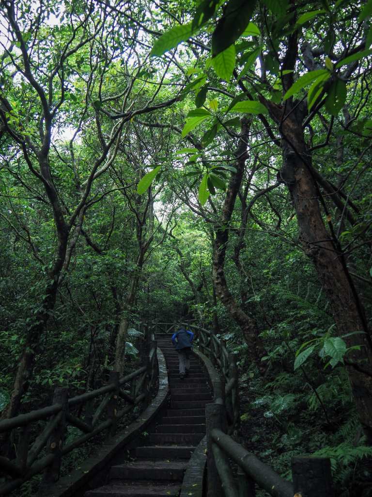
The steps are steep, but they’re somehow pretty despite the naffness of the concrete bamboo handrails.
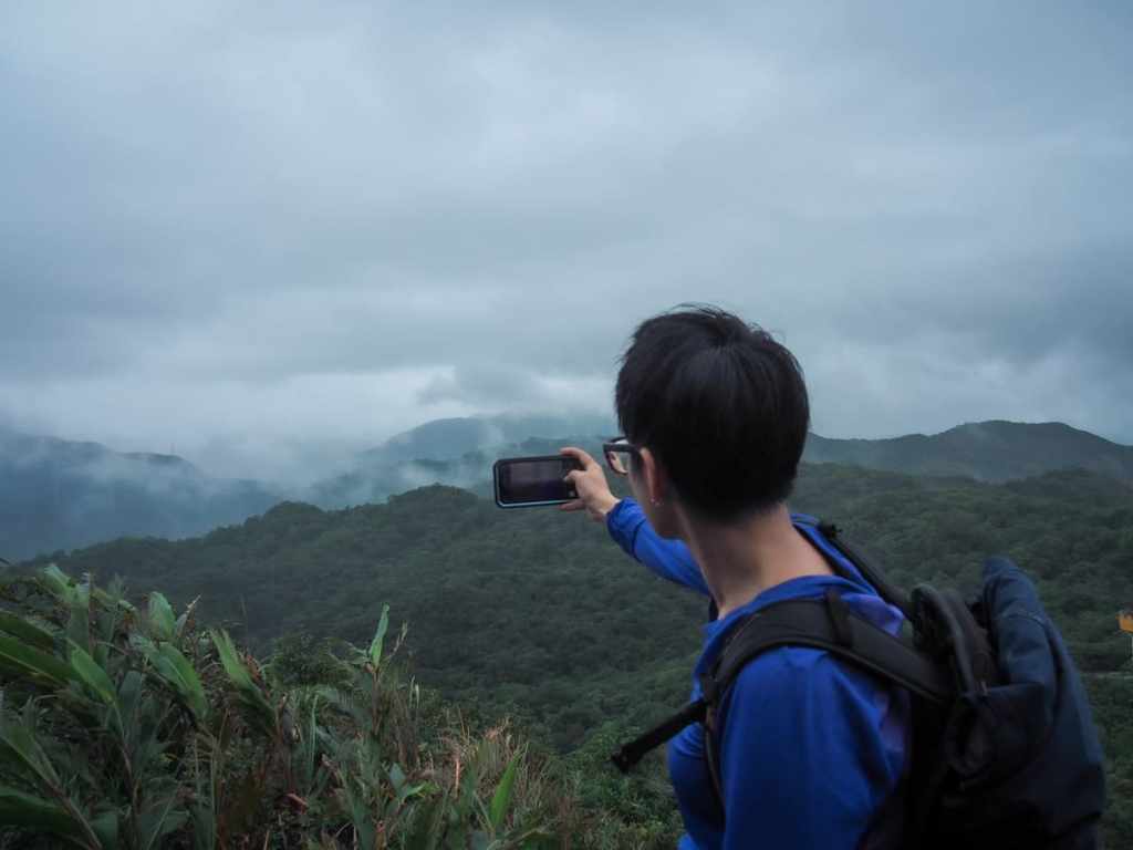
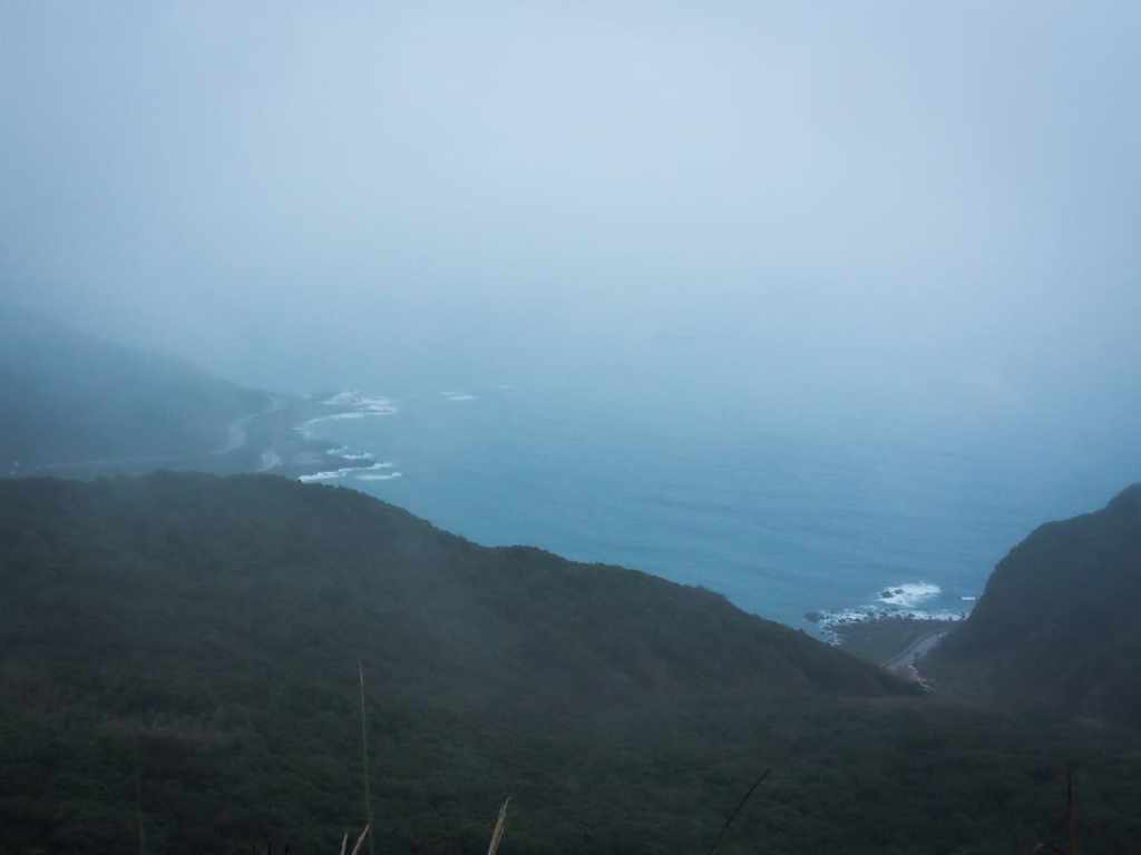
As you near the end of the climb, the trees open up, and a considerately placed viewing platform allows you to stop and catch your breath. We paused for a while to watch the clouds grazing the peaks of nearby hills.
At the top, you can choose to go either left or right. Both routes eventually rejoin at the far end of Dawuln Fort.
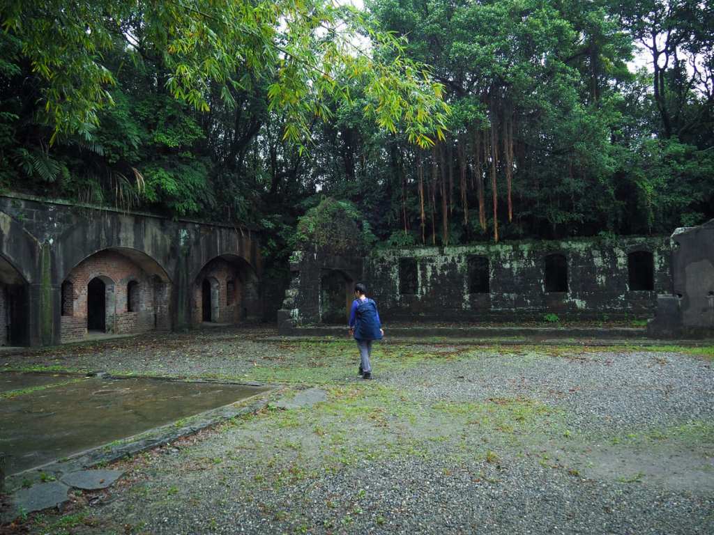
The first fortifications built here date back to the 1820s, and the structures have been added to and called into use at various points in Taiwan’s history. Soldiers were stationed here during the First Opium War, the Sino-French War, the Japanese period of occupation, and mostly recently by ROC forces. If you wander around, you can see artillery emplacements, ammunition stores, trenches, and even toilet blocks.
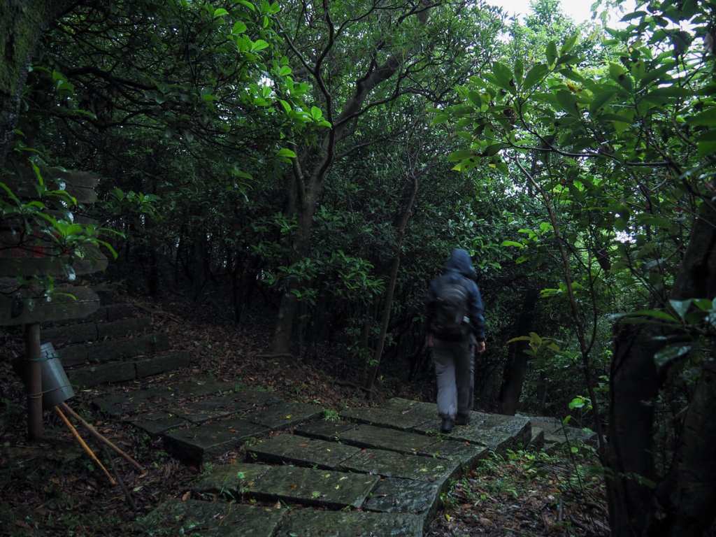
Head down the wide gravel path towards the road, but just before you exit, divert from the main track and take the narrow, unpaved trail shooting off on the left. A small red-and-white sign nailed to a tree indicates that it will take you to Mount Dulunwu.
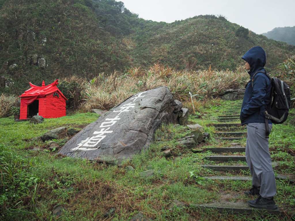
The trail was muddy after recent rains, and the people in front of us seemed to be finding the walking a little tough. The guy at the front asked his friend “可以嗎?” “Can you do it? Ok?” at least ten times in the 100 metres or so from the turn off to the summit.
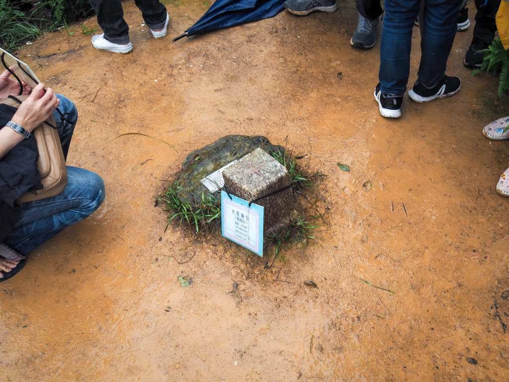
We managed to coincide our visit with what must have been the busiest moment on that summit for the whole afternoon. The small clearing around the triangulation stone was jam-packed with a couple of families, so I snapped a quick picture of both the stone and the cloud-impeded view and then we made our way back the same way we’d come.
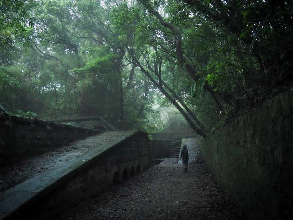
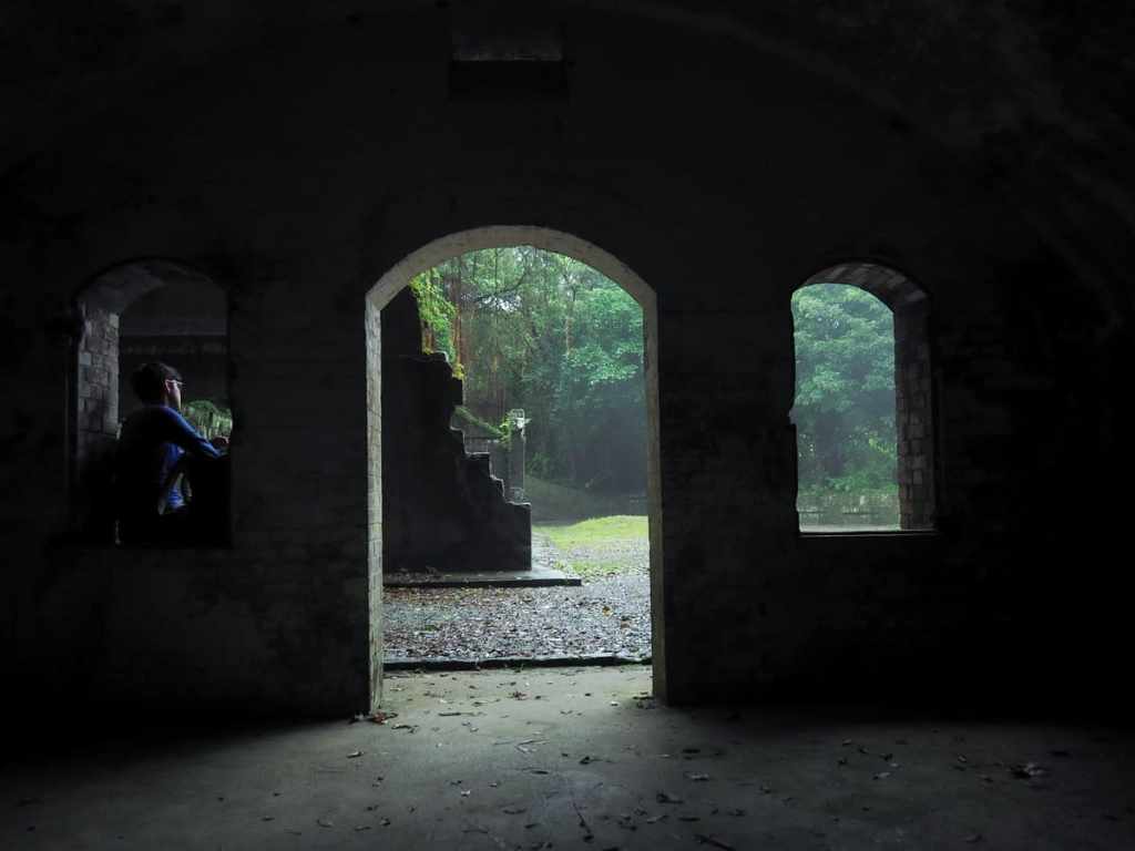
On the way back through the remains of Dauwulun Fort, we did a little more wandering. The central area has lots of munitions storage spaces, and in the murk, each darkened doorway looked mysteriously menacing.
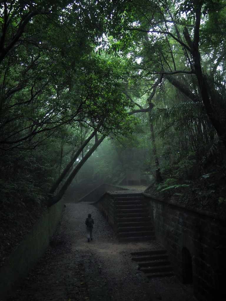

The last time I visited, it was also a drizzly day, but the atmosphere was entirely different. I quite liked the gloom though.

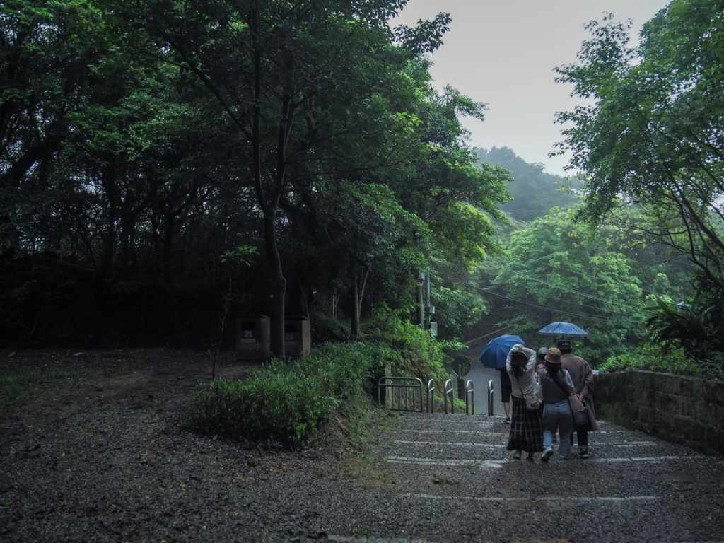
Once we got back to the top of the steps, the odd sight of Lover’s Tower could be seen rising above the trees. If you want to add a quick loop around Lover’s Lake to your walk, then you can climb up the tower.)
The next little stretch was just retracing our steps. Right at the first junction, then right again. That second junction actually has two right turns. We took the leftmost right turn. If that sounds confusing, just make sure you’re following the sign directing you towards Waimushan Seashore. (The one heading towards Haixing is the one we came up on.)
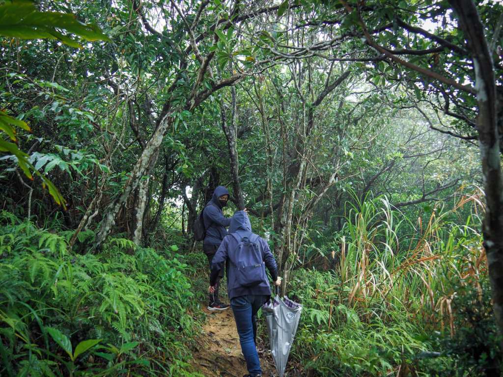
The trail does a little bit of undulating. This came as an unwelcome surprise to Teresa, who thought it should be all downhill.
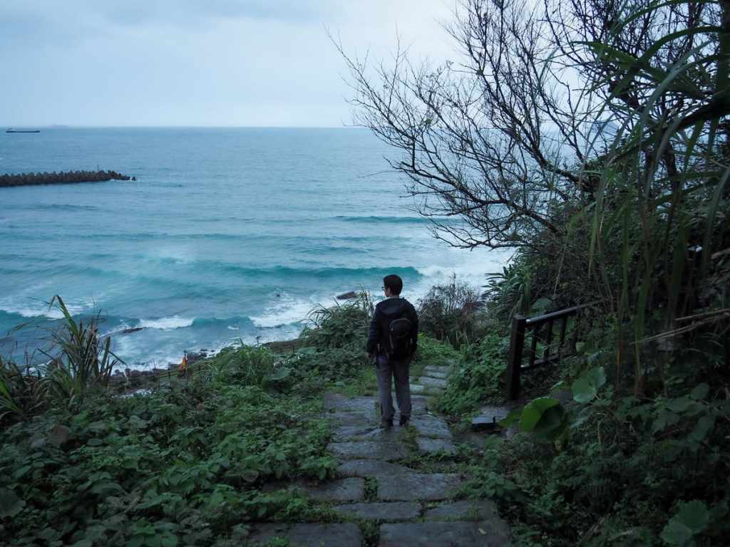
There are just two more on-trail junctions. At the first, keep heading straight and at the second, take a left turn. (There’s a viewing platform just another 20 metres up the trail from that second photo. I went to take a look, but there wasn’t much to see with all the clouds in the way.)
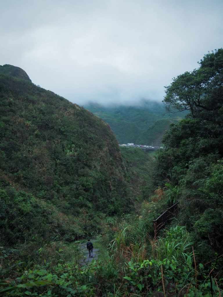
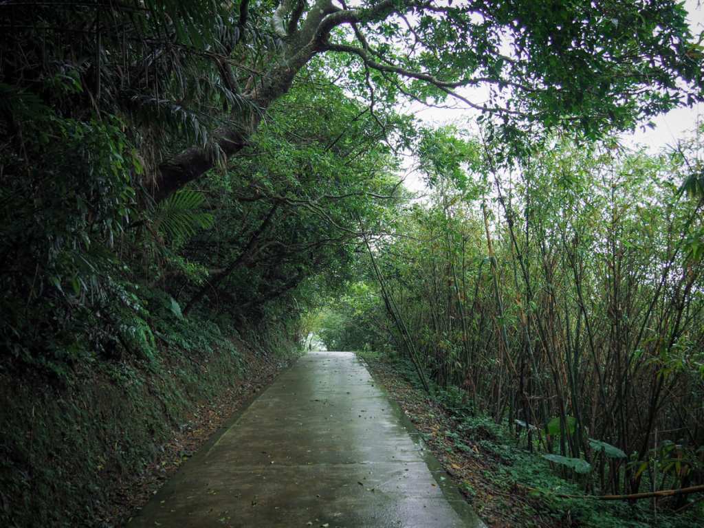
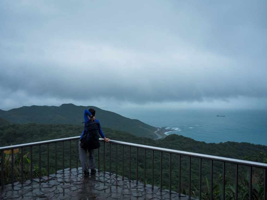
The final stretch was more open again, and we could see the cars queuing on Anzhong Bridge.
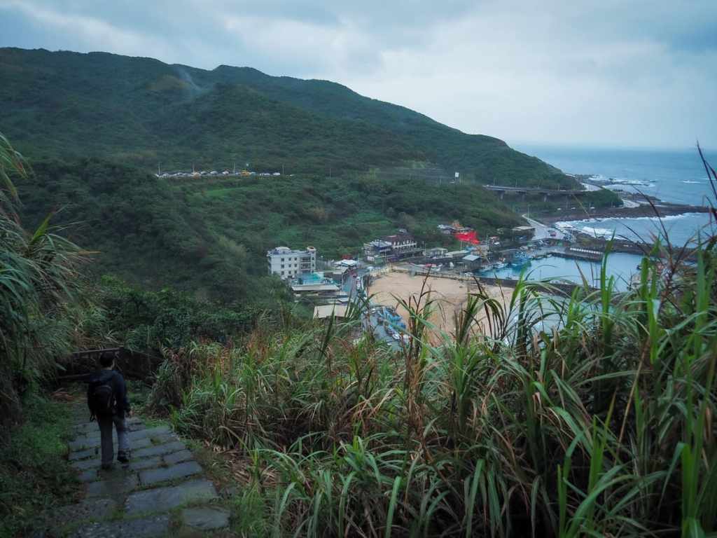
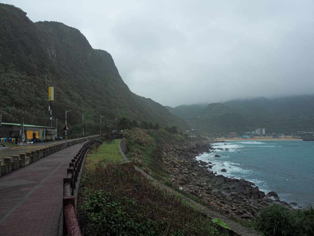
Then the trail turns a bend, and suddenly Dawulun Beach comes into view. With temperatures in the low twenties, and a fierce wind whipping the waves into an angry, roiling force, there was not a single person on the beach. If you visit in the summer though, you’ll find it packed full of families enjoying a day out.

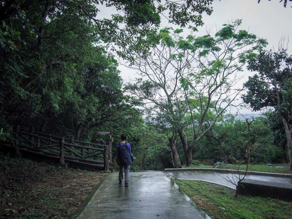
If you’re visiting on public transport, you can either try and flag down a taxi here (which I imagine is easier to do in the summer than in the winter), or else turn left and start following the road in the direction of the nearest operational bus stop. If you parked near the starting trailhead, you’ll have to turn right and walk along the road for a few minutes.
HOW TO GET TO MOUNT DAWULUN
Google Maps address: The walk starts beside a couple of restaurants, a small temple and toilet block on Anzhong Industry Road. Later on, the walk ends on the same road, but a little closer to Dawulun Beach. There are a few car parking spots at both locations, but in the summer, it might get hard to find a space. Scooters should be able to find roadside parking pretty easily though.
GPS location:
- Haixing trailhead – N25 09.820 E121 42.740
- Dawulun Beach trailhead – N25 09.855 E121 42.475
Public transport: Getting here on public transport is not particularly convenient. It either involves getting the one bus a day which will drop you at the trailhead, or else walking 30 minutes from Wusheng St. Entrance bus stop. A smarter choice would be to catch the train to Keelung Station, then get a taxi from there to Dawulun Beach (about 15 minutes). If you’re lucky, you might also get a taxi to take you back, but if not, you can walk to Wusheng St. Entrance and catch a bus back to Keelung from there.
MOUNT DAWULUN TRAIL MAP
GPX file available here on Outdoor Active. (Account needed, but the free one works just fine.)

What a beautiful trail and fort! I like that you have plenty of good photos.
LikeLike
It is a pretty trail. I think it’s one of those that looks especially good in murky, misty weather — the gloom suits the old fort.
LikeLike