Search for Taitung hikes by level of difficulty:
See all hikes in Yunlin County. Walks listed with the most recent at the top.
SANXIANTAI (三仙台)
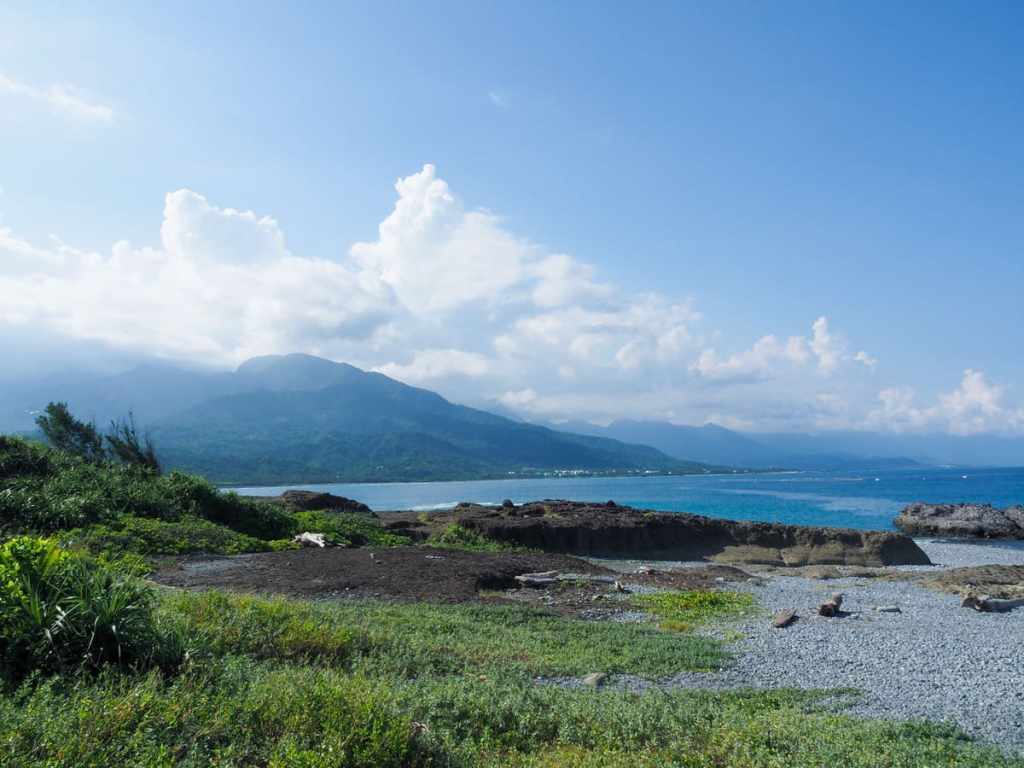 Sanxiantai is a former isthmus — now islet — located on Taiwan’s southeast coast, just north of Changbin. People are drawn here to admire the arresting sight of the eight-arched bridge that connects the coast to the islet, and most never go much further than the mainland-side end of the bridge. However, if you push on a little further, the islet has much to explore, including sea caves, snakes, and fossilised corals.
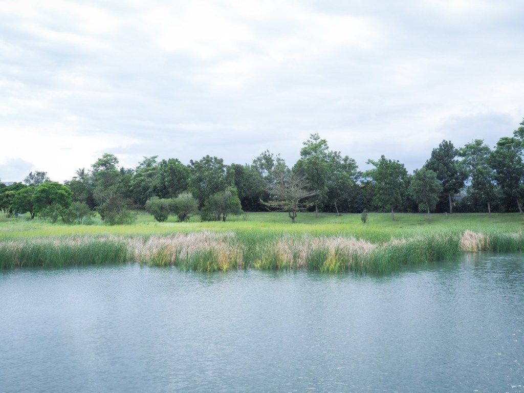
DAPO POND (大坡池)
 This loop trail in Taitung’s Chishang Township is characterized by beautiful lake views, mountainous landscapes, unique sculptures and abundant birdlife.
MOUNT DULAN (都蘭山)
 For travellers to Taitung, climbing Mount Dulan – or Dugus A Du Lan in the language of the local Amis people – would make a wonderful day trip. The 1,190m peak sits close to the coast in Donghe Township, and on clear days visitors can enjoy views both of the Pacific Ocean, and the East Rift Valley.
TAITUNG FOREST PARK (臺東森林公園)
Hemmed in between the broad expanse of Beinan River and the city of Taitung sits the quiet oasis of Taitung Forest Park. Its leafy lanes and tranquil wetlands make for a great half day retreat.
TAITUNG’S CARP HILL ( 臺東鯉魚山)
 Carp Hill is perhaps the most prominent geological feature in Taitung City, and if you’re visiting Taitung then climbing it is a great way to see the city from another angle.
TAITUNG MOUNTAIN OCEAN BIKEWAY (臺東山海鐵馬道)
 Taitung Ocean Mountain Bikeway was designed as a great loop encircling Taitung City. It was meant to take riders along the old railway line, over the river, past huge mountains, before looping back to bring you along the seafront. Sadly, only a portion of the original trail is still there, but that doesn’t mean you can’t forge your own route!
