Taiwan currently has nine national parks with a combined land area of almost 7,500 square kilometres. In addition to these, there are also eighteen forest recreation areas and multiple nature parks which all enjoy some degree of environmental protection. Some of these parks require a ticket or permit to enter, but others are free.
This page collects all hikes on the site which pass through these areas, but if you’re looking for something in particular, you can check out these pages for specific parks and national recreation areas:
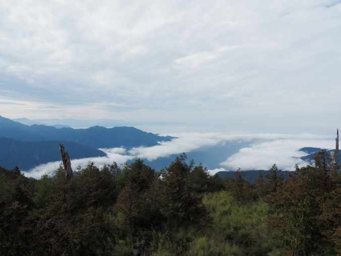
MANYUEYUAN WATERFALLS (滿月圓國家森林遊樂區)
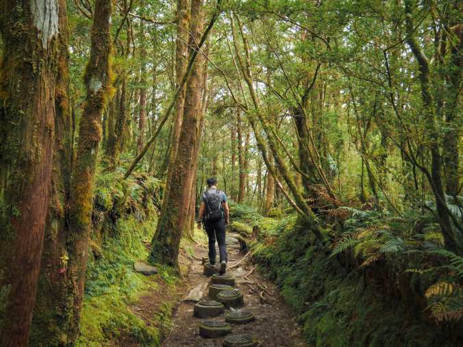
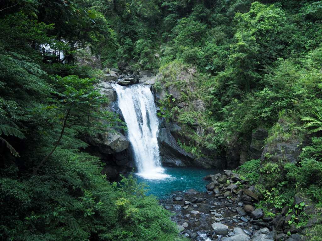
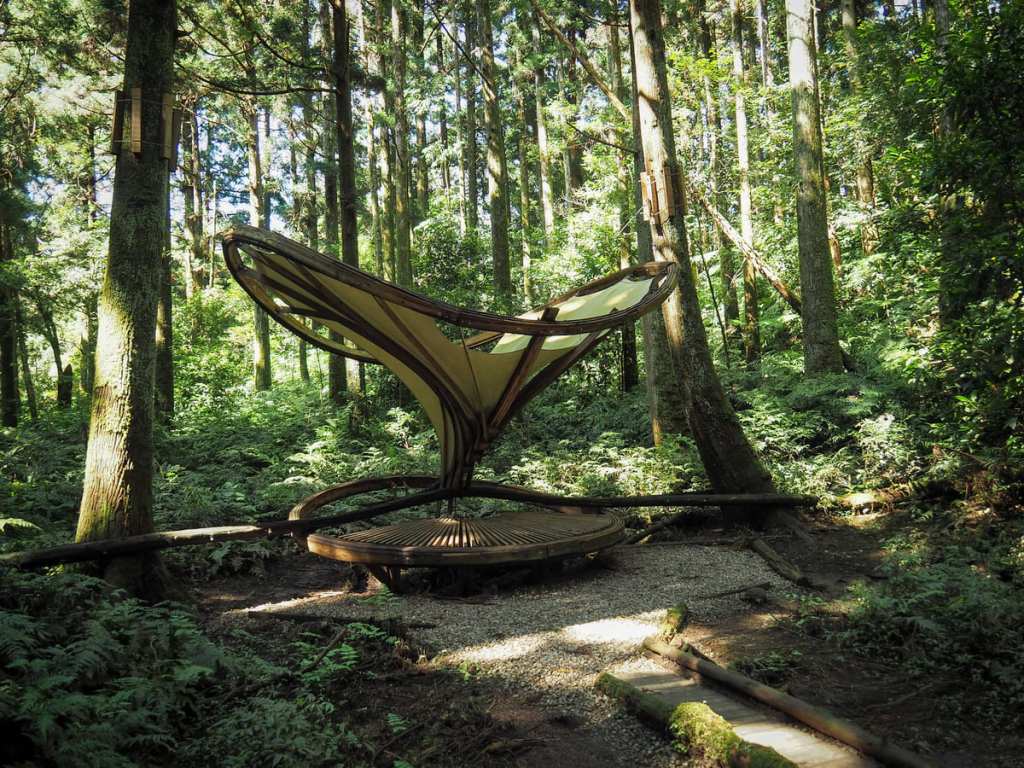
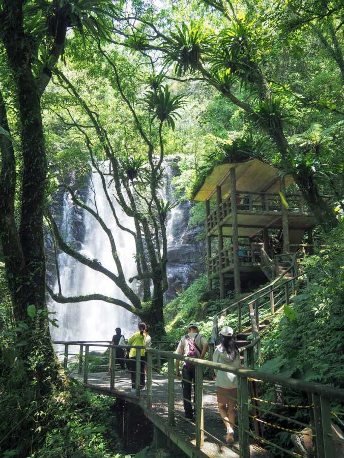 One of two National Forest Recreation areas within the Greater Taipei area, Manyueyuan and its waterfalls is a popular spot for city folk seeking respite from Taipei’s hot summers. The park has abundant greenery, two or three waterfalls, and a handful of easy trails to explore.
FISHERMAN’S TRAIL: SOUTHERN SECTION (魚路古道南段)
 The Fisherman’s Trail is a historic 30-kilometre trading route connecting Jinshan on Taiwan’s northeastern coast with Shilin. This post covers the southern section connecting Qingtiangang with Shilin.
FISHERMAN’S TRAIL: NORTHERN SECTION (魚路古道北段)
 The Fisherman’s Trail is a historic 30-kilometre trading route connecting Jinshan on Taiwan’s northeastern coast with Shilin. This post covers the northern section connecting Qingtiangang with Jinshan.
TAIWAN BEECH NATIONAL TRAIL (台灣山毛櫸國家步道)
 Tucked snuggly into the innermost reaches of Taipingshan National Forest Recreation Area, Taiwan Beech National Trail is a pretty forested walk which takes hikers through an ancient stand of beech trees that is thought to date back to the last Ice Age.
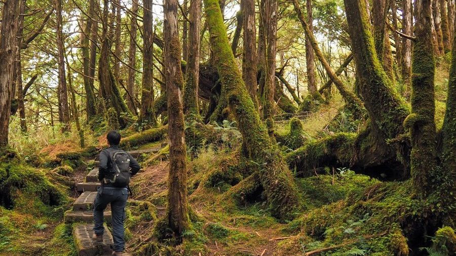
LALASHAN SACRED TREE TRAIL (拉拉山神木群歩道)
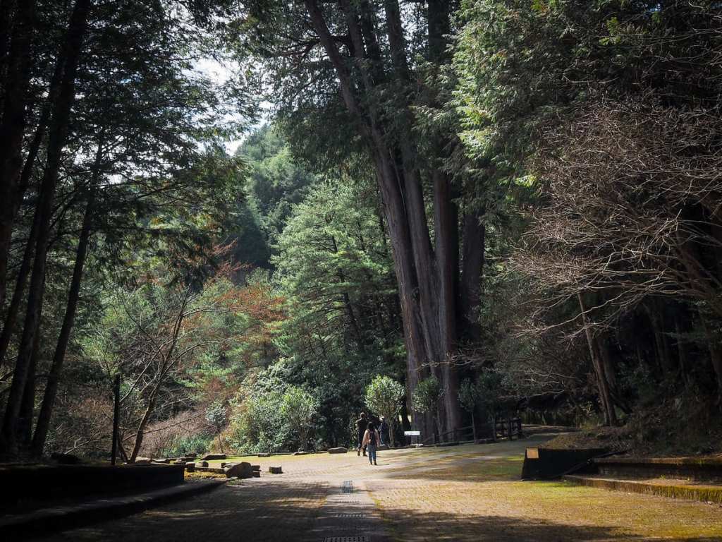
 Lalashan — R’ra in the local Tayal language — is one of 19 such designated national forest recreation areas in Taiwan. It occupies an area of land that sits 1,500 to 2,130 metres above sea level in Taoyuan’s Fuxing District up a winding road dotted with Tayal villages. The forest is home to many ancient trees, some of them centuries old, and a pleasantly shady trail takes hikers on a meandering loop to greet these sacred giants.
NEIDONG FOREST RECREATION AREA TRAILS (內洞森林遊樂區步道)
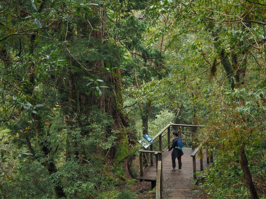
 Situated on the banks of Nanshi Creek and far away from the busy city, Neidong National Forest Recreation Area is a peaceful and pretty natural haven. The park has a total of three trails — the Scenic Trail, the Forest Bathing Trail and the Waterfall Trail — which can be woven together into a single loop, allowing you to see all that the park has to offer.
SHUISHAN GIANT TREE TRAIL (水山神木步道)
 The Shuishan Giant Tree Trail is an easy walk in the Alishan National Forest Recreation Area that is suitable for hikers of all levels of experience. The trail takes you through old forests and along old railway tracks.
DONGYANSHAN FOREST TRAIL (東眼山森林知性步道)
 The Dongyanshan Forest Trail is a gentle walk that is easy enough to be suitable for families. Along the way you can learn about some of the historical techniques employed in the logging industry.
LULIN MOUNTAIN and LINZHI MOUNTAIN (鹿林山/林趾山)
 This scenic and permit-free walk offers hikers the chance to enjoy the beauty of Yushan National Park without having to plan the trip months in advance.
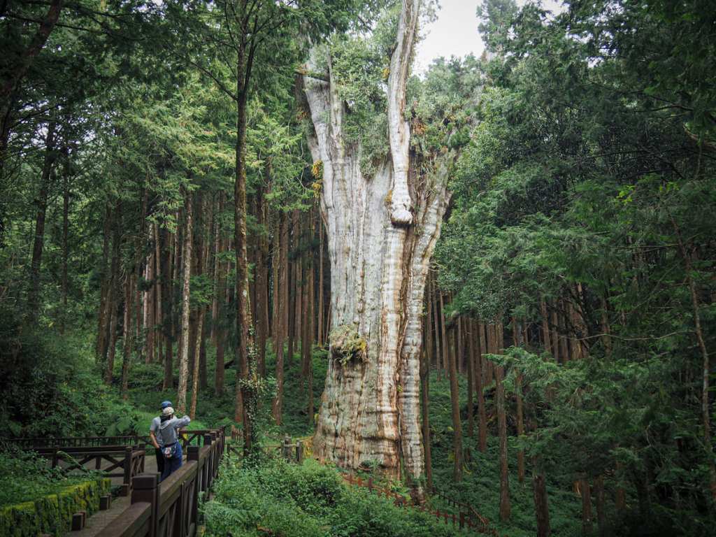
XUESHAN SACRED TREE TRAIL (雪山神木)
Xueshan sacred tree is a giant tree is a century-old giant Formosan cypress that sits deep within Daxueshan National Park. It stands in a small clearing, accessible via a 1.5-kilometre stroll down an old track, and — thanks to the fact that there used to be a carpark down here — you can stand back and take in the whole tree.
MUMA HISTORIC TRAIL (木馬古道)
 Muma Historic Trail is one of several hiking trails located within the bounds of Daxueshan National Forest Recreation Area. Being neither the longest, nor the shortest, not the easiest, nor the toughest walk in the park it presents a pleasant, middle-of-the-pack hike for anyone hoping to explore the area.
SANXING MOUNTAIN (三星山)
 The Mount Sanxing Trail is a steep and pretty walk through varied forest landscapes to the highest summit within the boundaries of Taiping National Forest Recreation Area.
XIAOXUESHAN HEAVENLY POND TRAIL (小雪山天池)
Xiaoxueshan’s Heavenly Pond is a beautiful alpine pool sitting at an elevation of over 2,000 metres within Daxueshan National Forest Recreation Area. It’s accessible via a very easy, mostly flat trail from Xiaoxueshan Visitor Information Station.
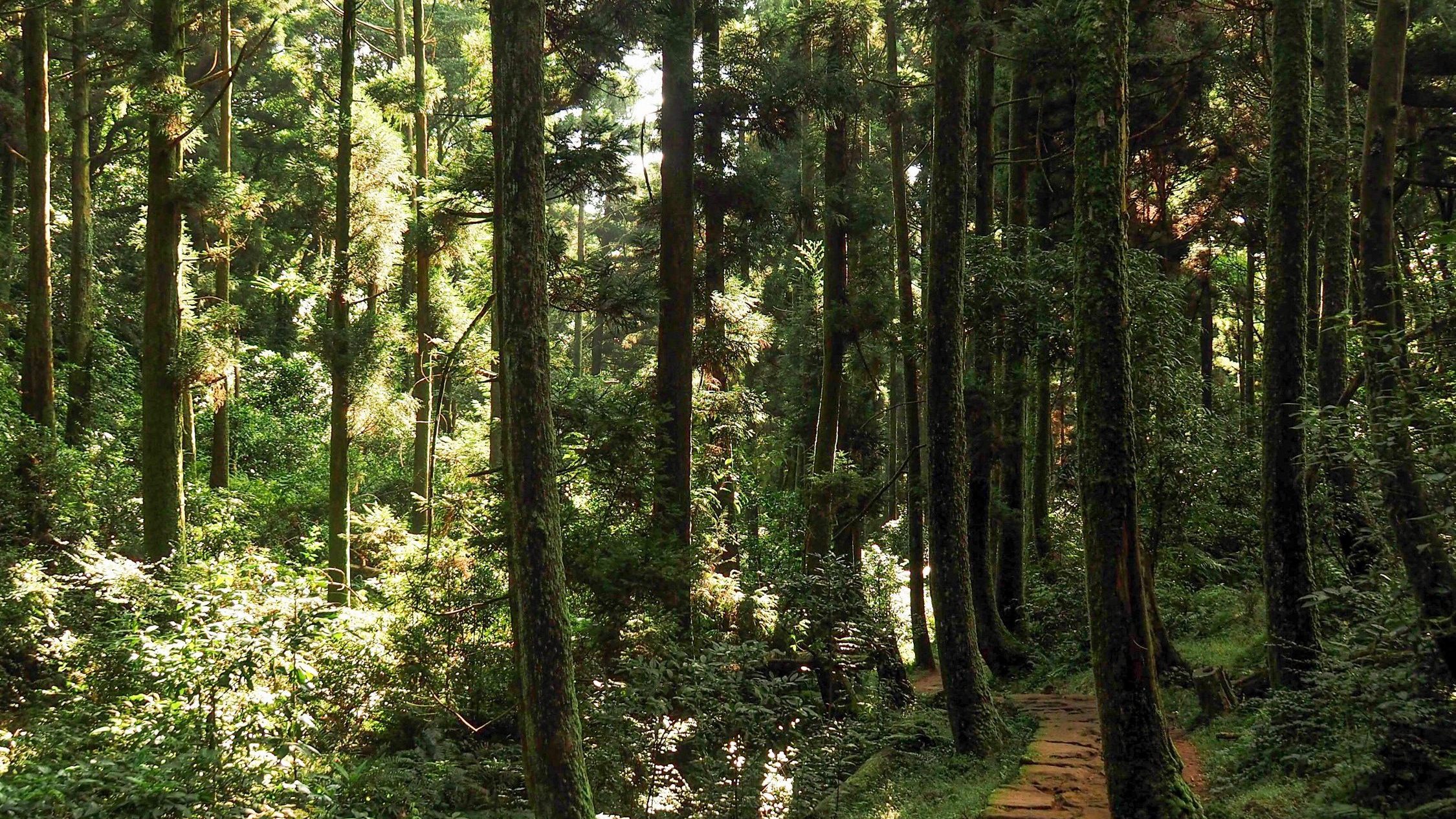
MIANYUE LINE (眠月線)
 The Mianyue Line hike has to be one of the most photographed hikes in Taiwan. Kilometre after kilometre of trestle bridges, mossy tracks, and abandoned tunnels stretch out through beautiful old forests, high up in the clear air of Chiayi. It is not hard to see why this hike has become popular.
YAKOU LOOKOUT TRAIL (埡口觀景台步道)
 If you’re heading to Daxueshan National Forest Recreation Area and want to do a walk with views, this short hike to a panoramic lookout platform is undoubtedly the walk for you.
XIAQIGU WILD HOTSPRING (下七股野溪溫泉)
 This very short walk in Yangmingshan National Park’s northern reaches offers you the chance to soak in a milky-watered hot spring pool while enjoying the sights and sounds of nature.
MOUNT TAIWU (太武山)
 This 253m high peak is the ninety-ninth of Taiwan’s Xiao Bai Yue, and the highest point in the whole of Kinmen. From Jinsha and Jinhu Townships, it’s an especially commanding feature of the landscape, its pale granite flanks are visible from pretty much wherever you go.
MOUNT DATA (大塔山)
 Mount Data, also known as Ta Shan or Big Ta Mountain, is the highest of Taiwan’s 100 minor peaks, standing 2,663 meters above sea level. It offers a fun walk for both new and regular hikers with beautiful forest scenery and spectacular views of layered mountains from the summit.
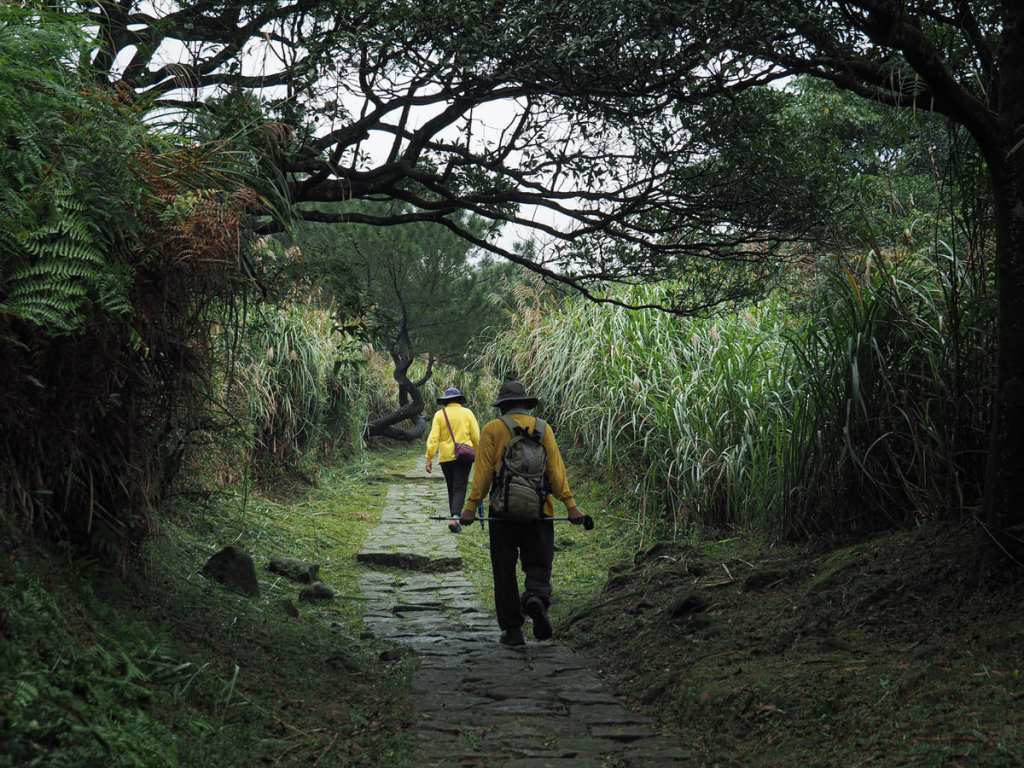
JINBAOLI TRAIL (金包里大路)
 This historic trail in Yangmingshan National Park is a section of a longer trail of connecting Shilin with Jinshan. This section is a beautiful and gentle walk with different types of scenery to enjoy along the way.
YANGMINGSHAN EAST-WEST TRAIL (陽明山西東縱走)
 Are you ready to take on Yangmingshan’s National Park’s biggest challenge? The 26-kilometre Yangmingshan East-West Trail is a tough trail with lots of lovely scenery to offer those who are foolhardy enough to take it on.
Something went wrong. Please refresh the page and/or try again.
