Distance: 4.7km
Time: 2 hours
Difficulty: 2/10 – For a small climb and unclear signage.
Total ascent: 198m
Water: 0.7L
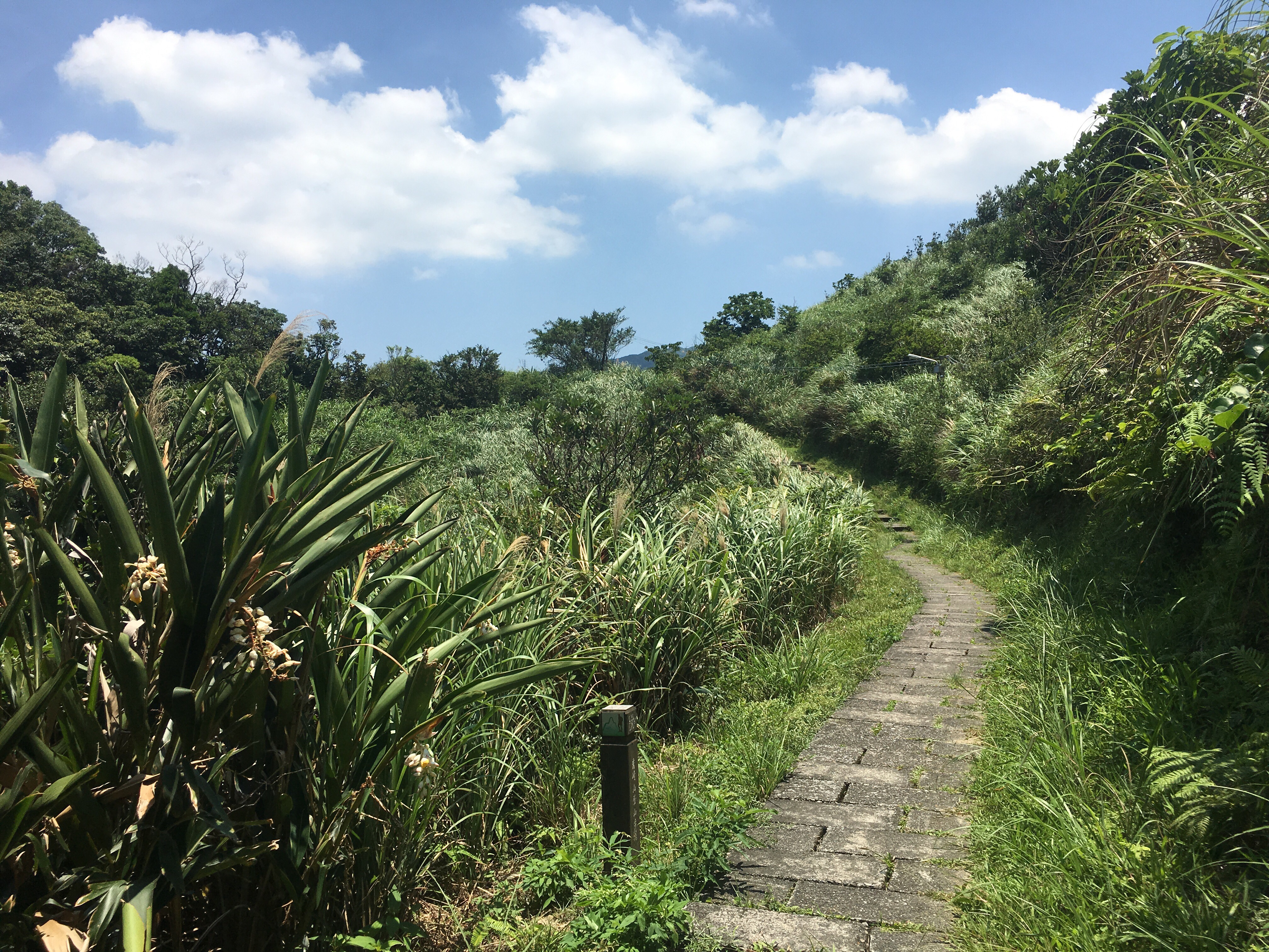
Shade: Stretches with no shade, I had an umbrella up a lot of the time.
Mobile network: Mostly ok
Enjoyment: There are some lovely coastal views and it’s interesting to walk through small villages, but the walk itself is not especially memorable.
Jump to the bottom of this post for a trail map, GPX file, and transportation information.
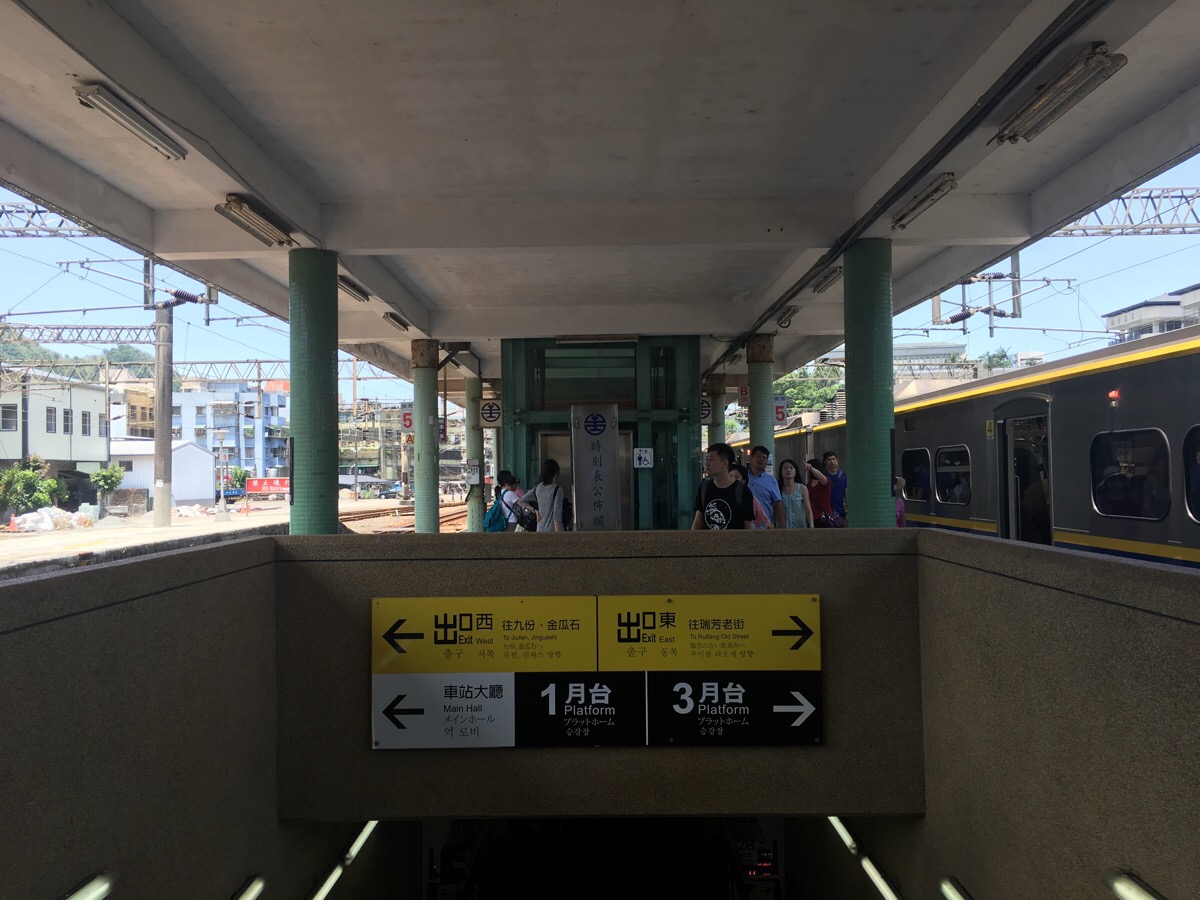
The train journey from Taipei took a little over an hour and when we arrived on platform two at Ruifang station, we had to take the underpass towards platform three, (away from the main hall).
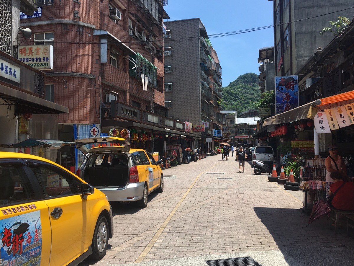
The rear exit of the station lets out onto a market street which we followed towards an OK Mart, and then straight across the road.
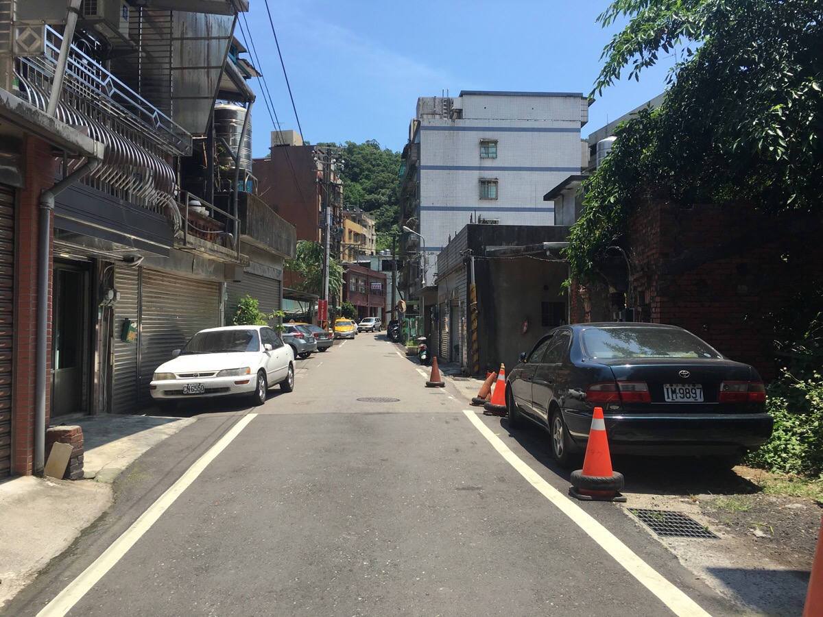
The road continues straight for a way, passing small houses and a couple of tiny shops.
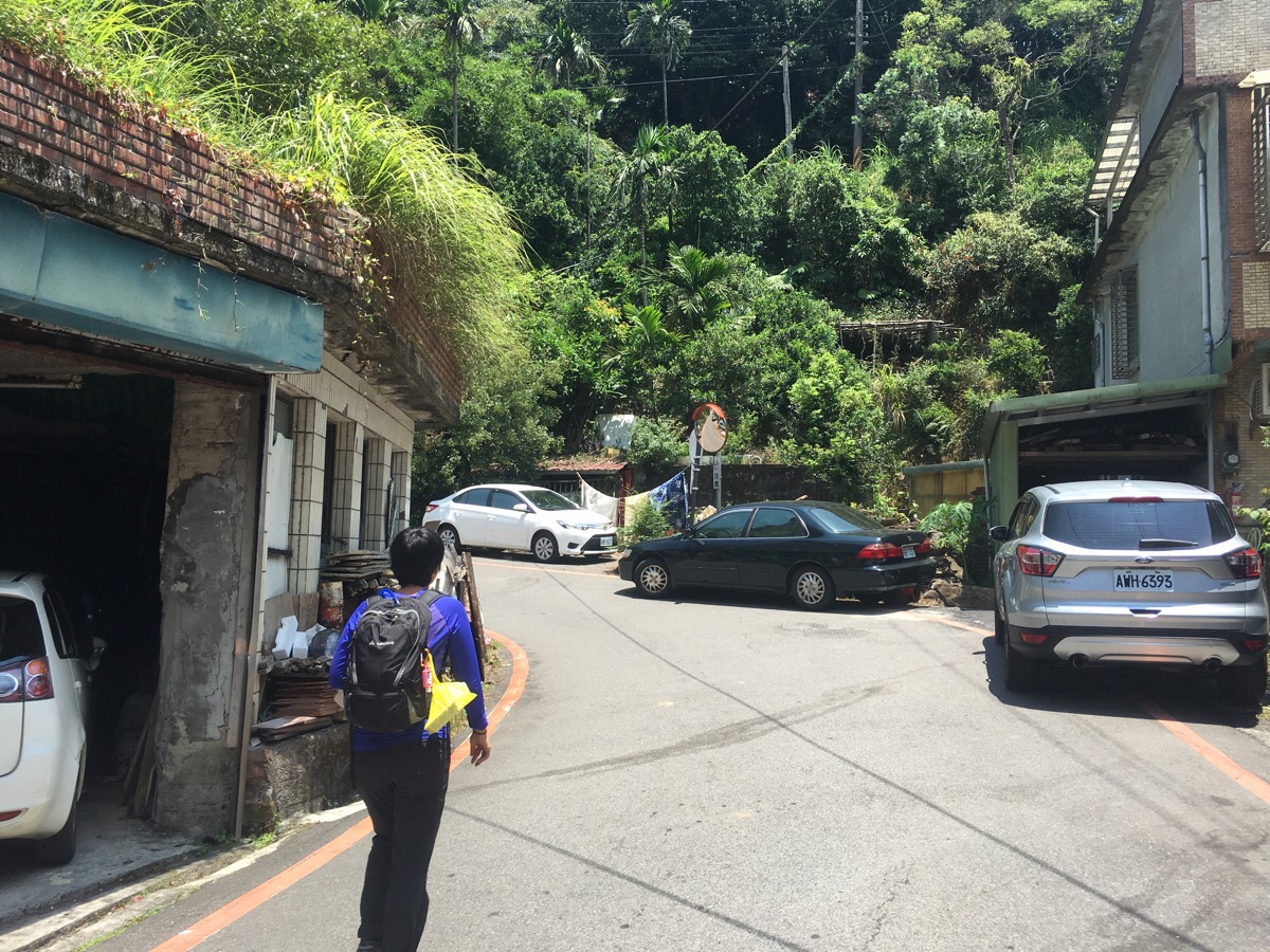
At a fork in the road, we took the bigger road on he left which curved uphill.
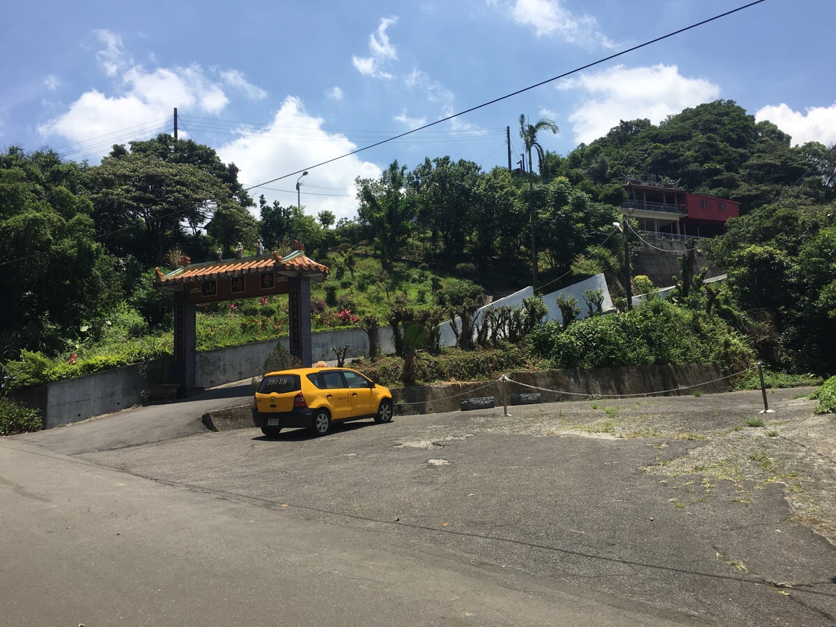
After about twenty minutes of road walking from the station, we arrived at an archway with Xiu Qi Shan (秀崎山) written on it at the entrance to Zhiyun Temple.
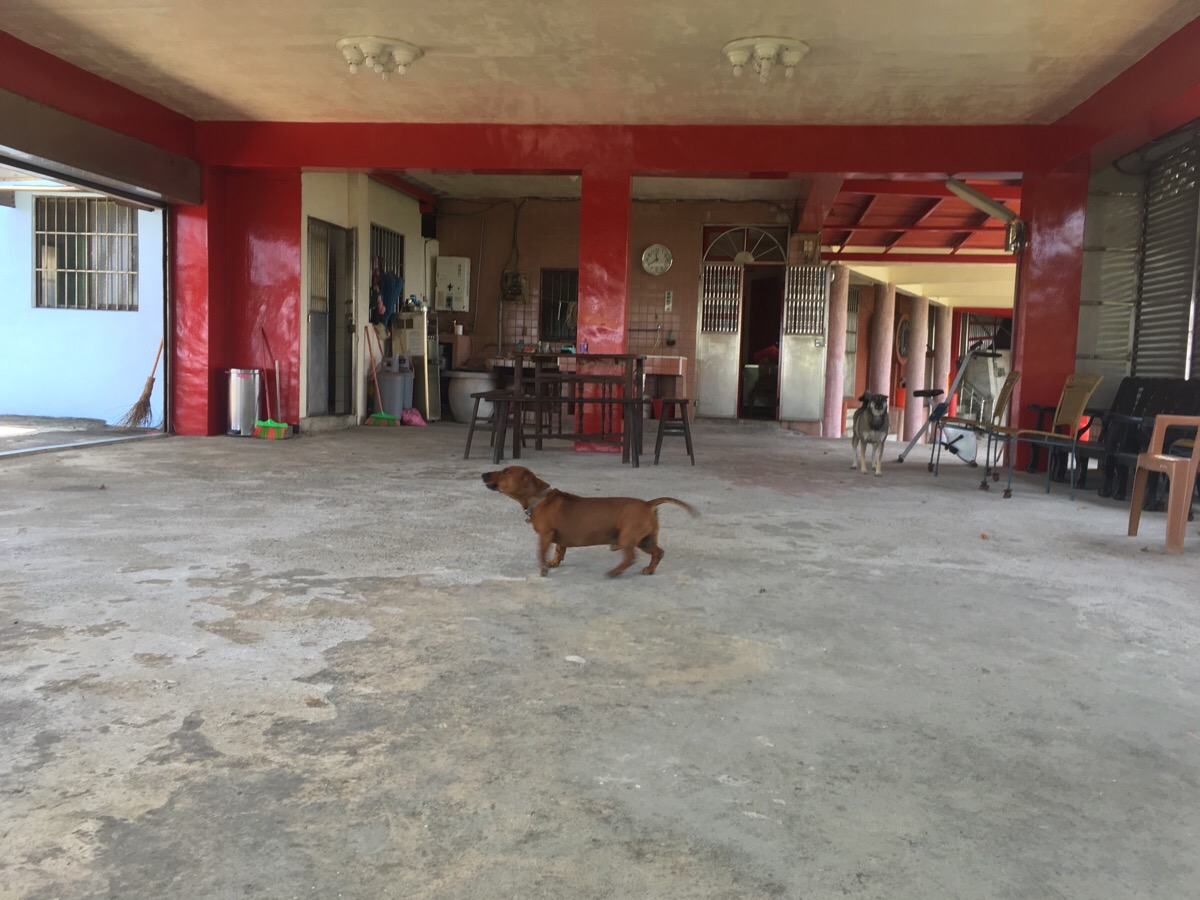
Climbing the steps on the left to the temple, we were greeted by a pair of noisy guard dogs. Although they initially ran towards us, one ran away barking, and the other sat at a distance looking scared. There are actually two small temples here, climbing the steps up from the first, you can see a second one which has been built almost around the roof of the first one.
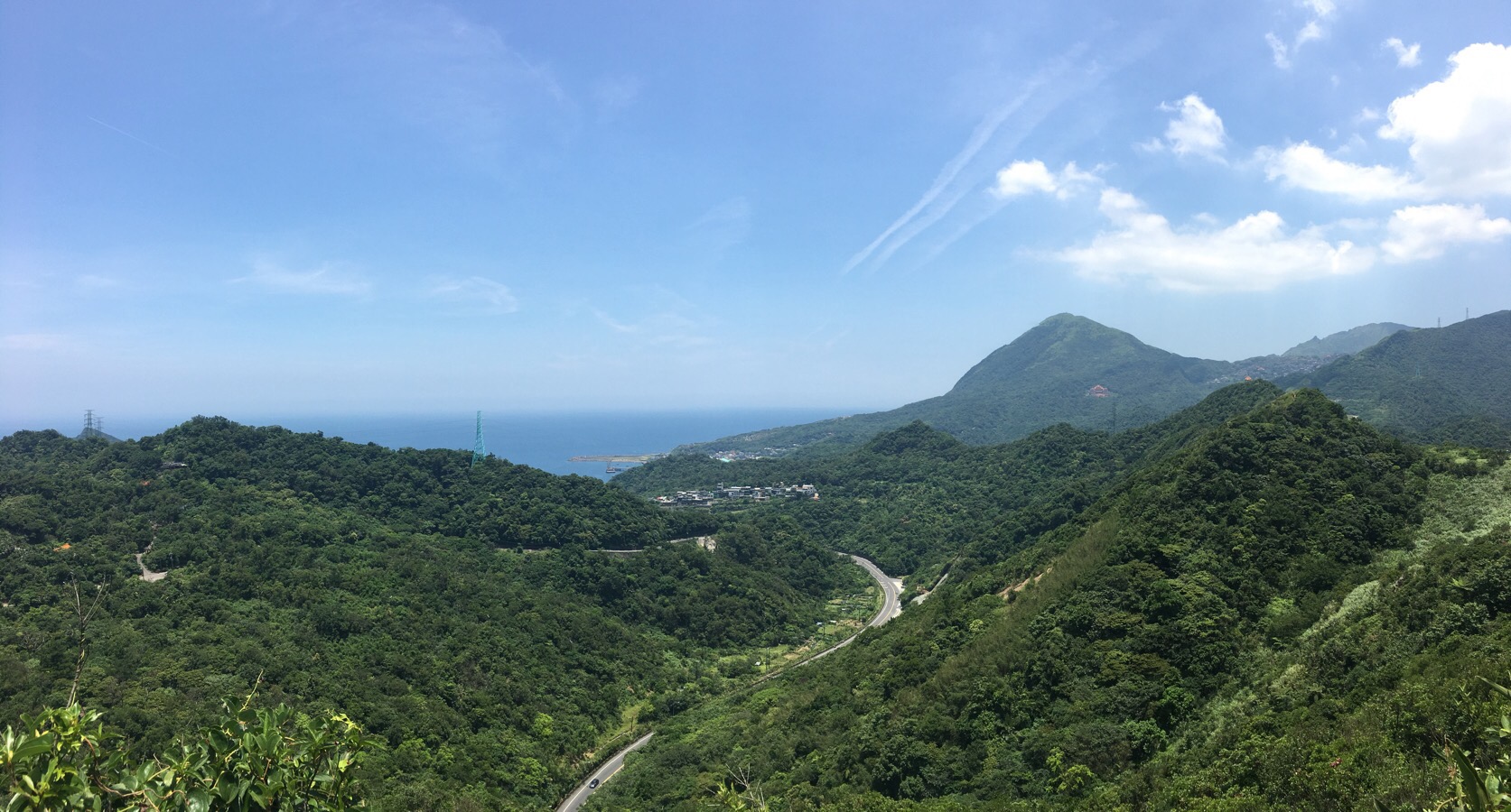
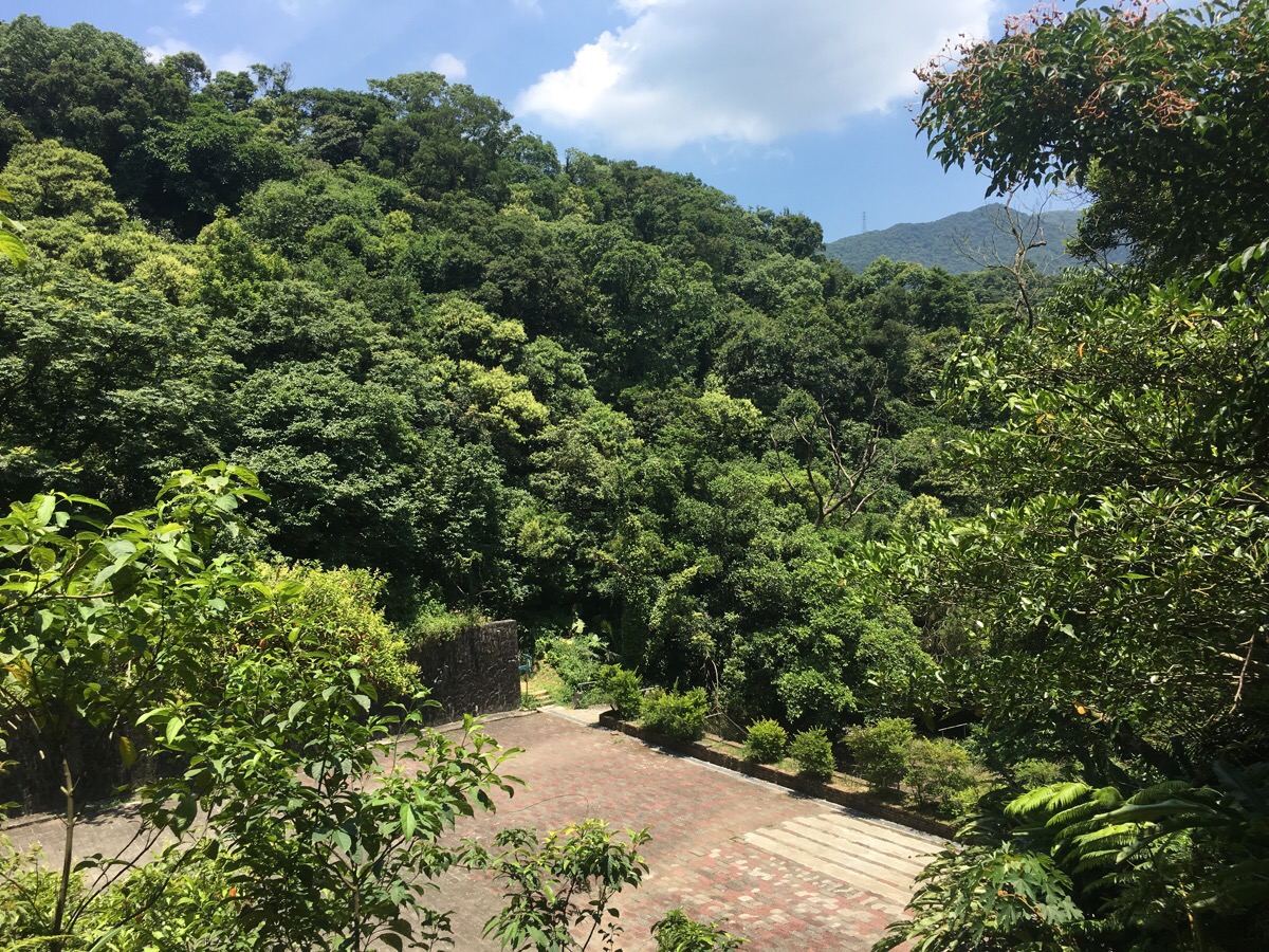
Just a short distance up from the temples, there is a rest and exercise area. A pagoda sits overlooking Ruibin road as it winds towards the coast. Slightly to the right there is a clear view of Keelung mountain, nestled in the valley just below it is the village of Jiufen, and rising behind the buildings is the strange knobbly shape of teapot mountain.
After the rest area, the path splits. The right-hand path is a short spur which climbs up to an old military bunker.
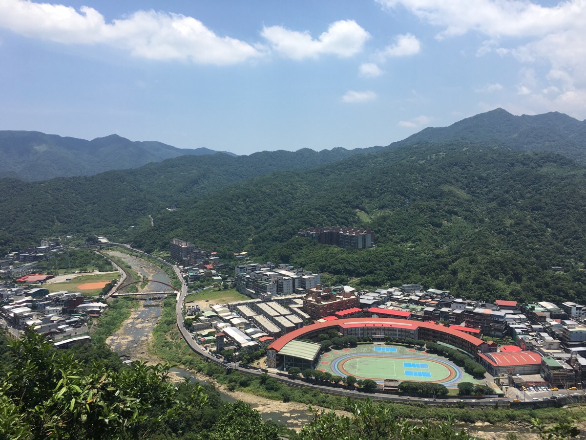
We climbed up the spur just to see and found that there was also a nice view of Keelung river as it winds past Ruifang Junior High School.
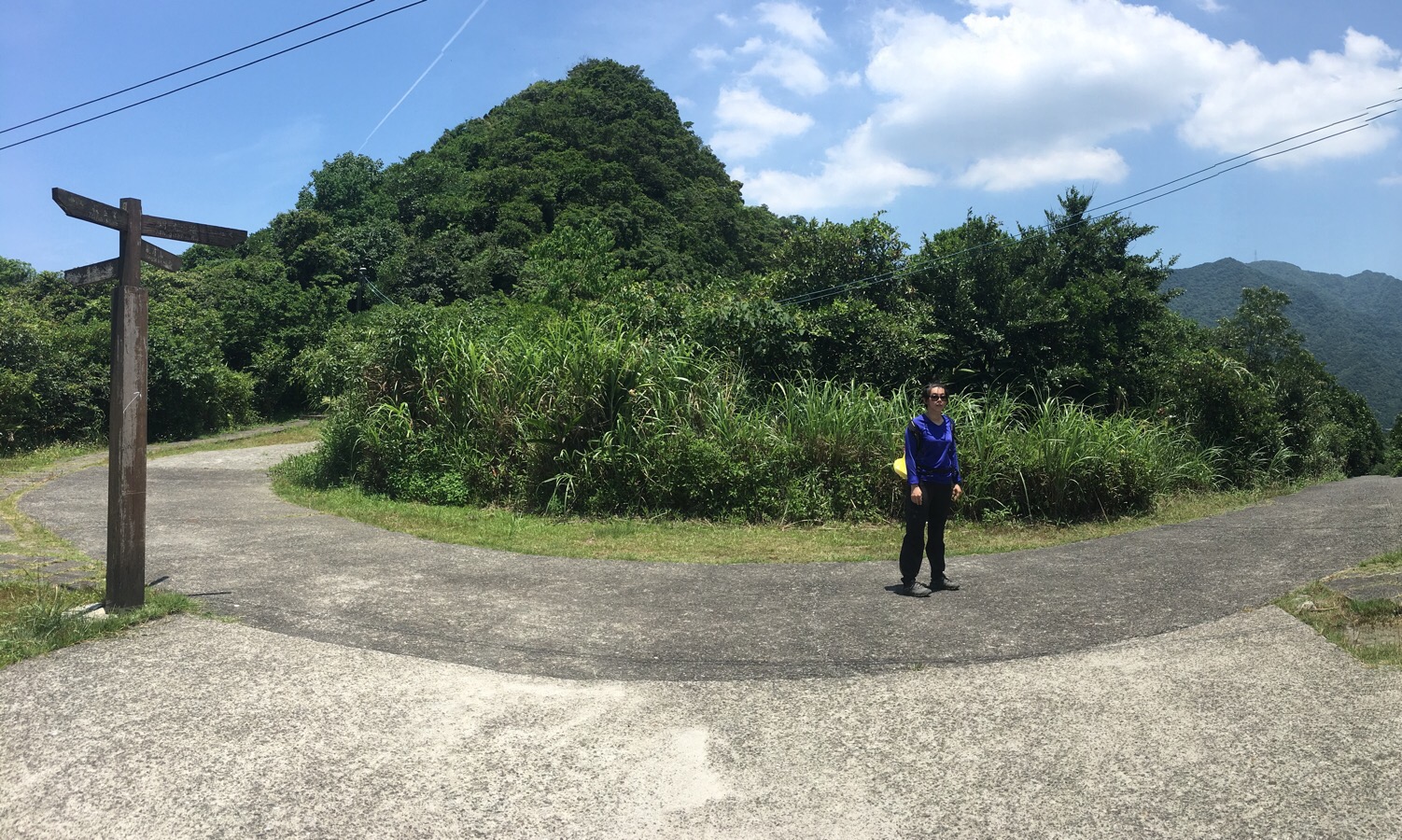
The path meets a road and here I decided again going up the small peak since it looked like we’d have to retrace our steps anyway. I would have done it if we were alone, however Teresa doesn’t care well in the heat and I didn’t feel like pushing my luck. So we turned right and walked downhill away.
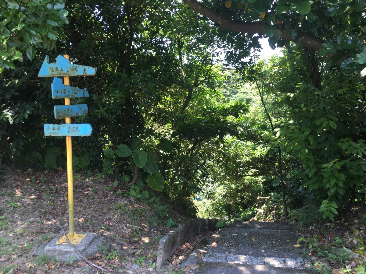
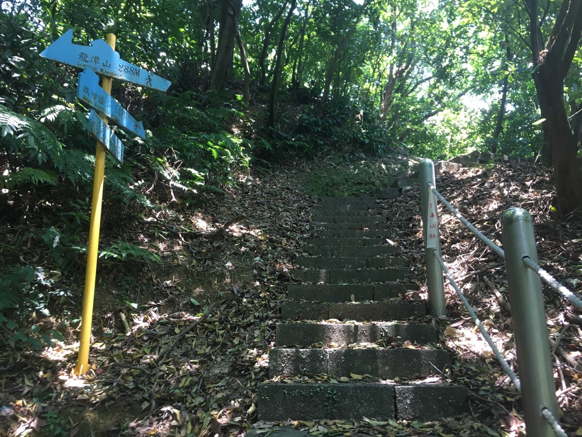
On the left of the road, there were two yellow and blue signs in quick succession, we took the second (I think it was signposted as heading towards a pond).
The pond was just to the bottom left of this photo, a shallow little pond with some (presumably) hot little fish. We walked diagonally across the open area and up the steps in the corner. Just after starting up the steps, there was a junction where we took the right fork.
At another junction we did the same and kept climbing until arriving at a single grave at a high point.
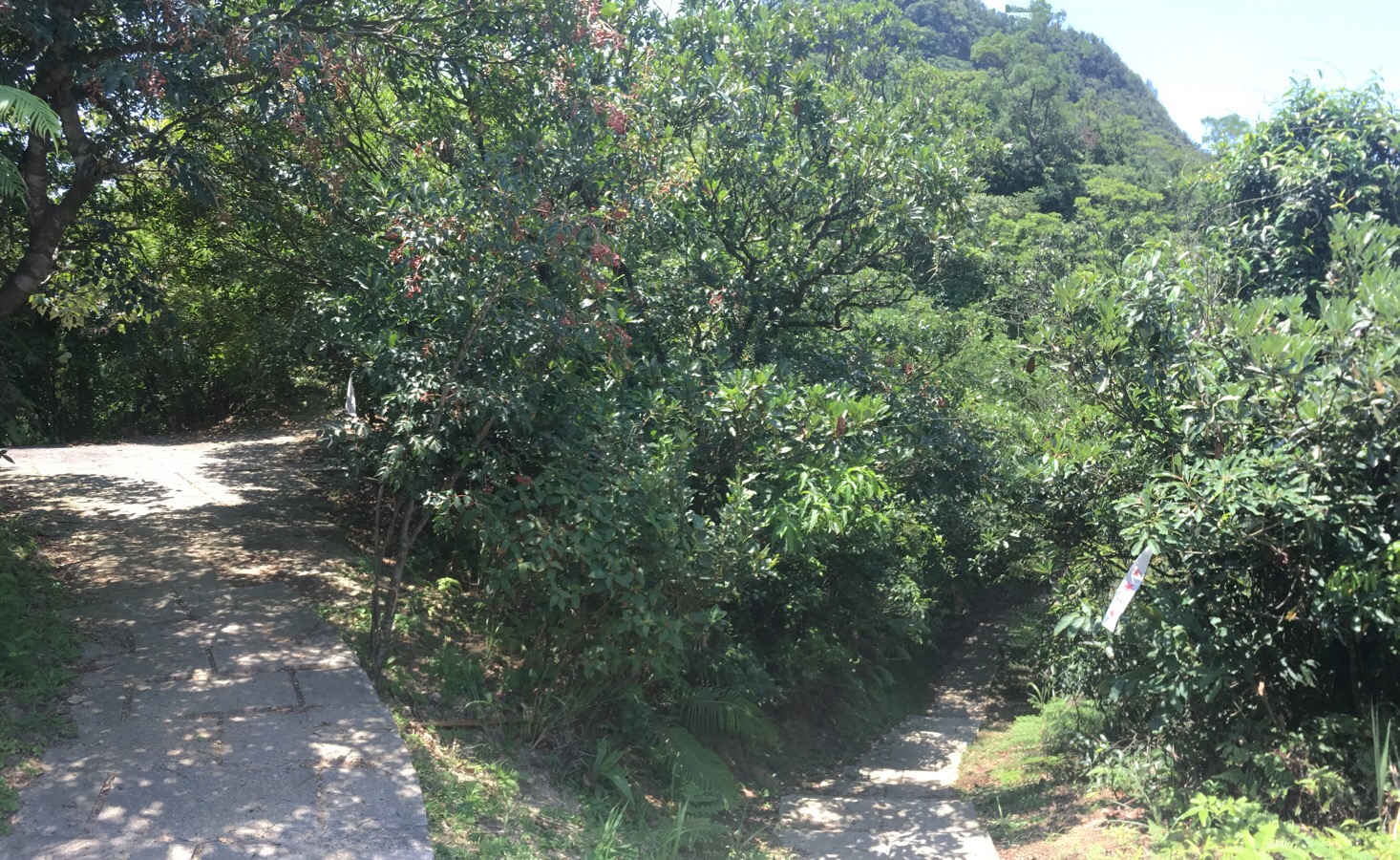
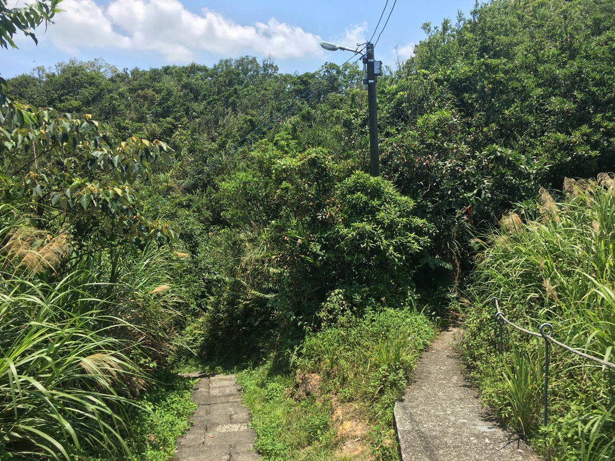
Upon reaching the grave, we followed the path as it curved downhill to the left. It meandered back and forth for a while before eventually reaching a road.
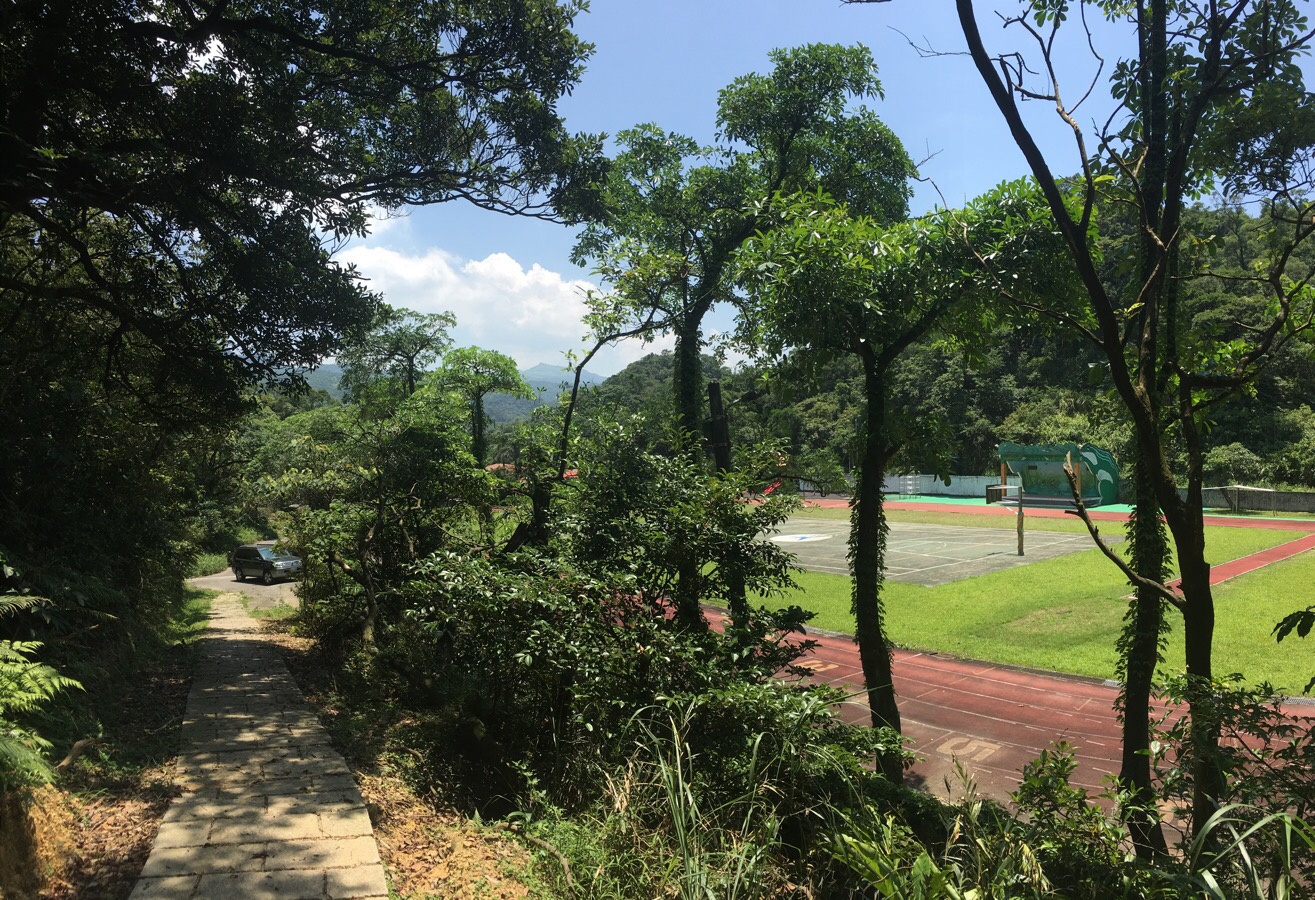
The path ends a school sports field, and from here we just followed the road.
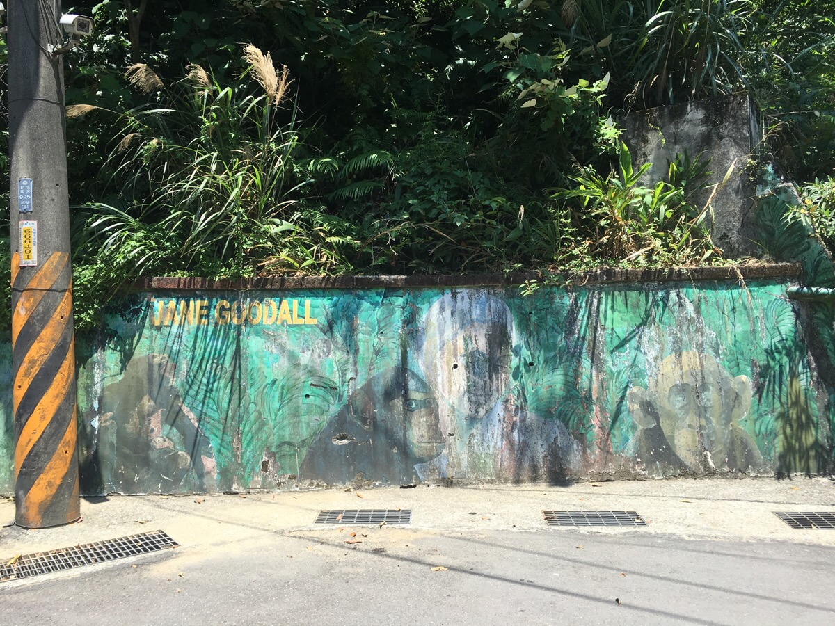
Right outside Ruifang Elementary School there is a faded but cute mural of Jane Goodall and some chimpanzees.
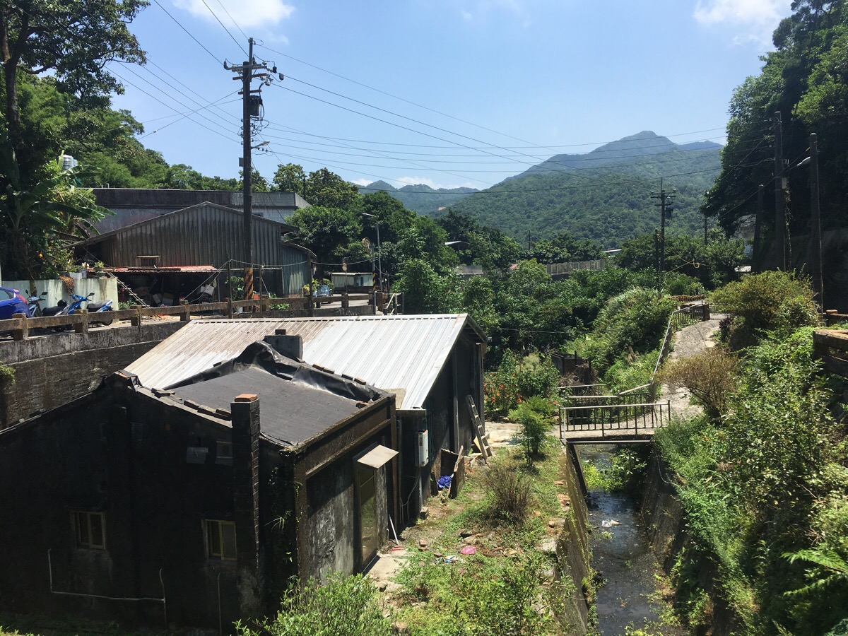
As the road continues downhill, I enjoyed the village scenery. Walks like this remind me of Sunday afternoon outings back home when you can head to a village, do a walk in the area and (hopefully), find a pub to enjoy as a reward for your efforts.
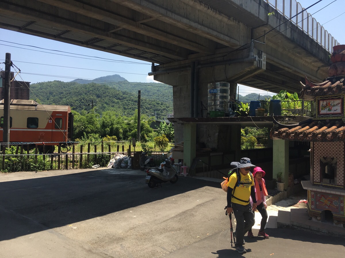
When we arrived at the railway, we took the underpass next to a small temple and crossed under the tracks. Once over the other side, we headed right and followed the railway back towards Ruifang.
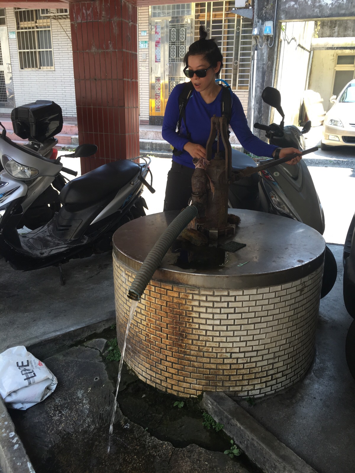
Walking along the road, we came across not just one, but two functional pumps. Teresa was rather excited to give one a go.
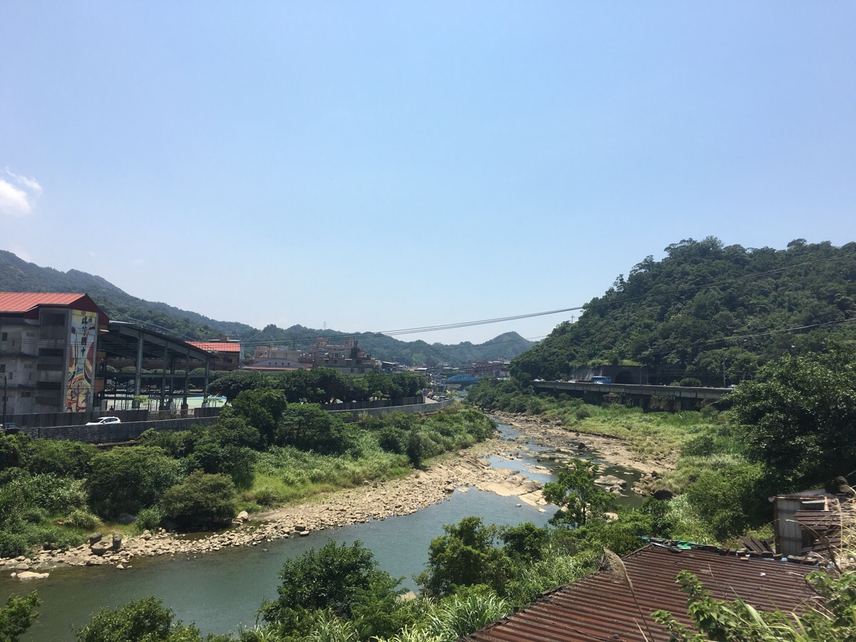
After passing some single story dwellings on the left, Keelung river comes into view.
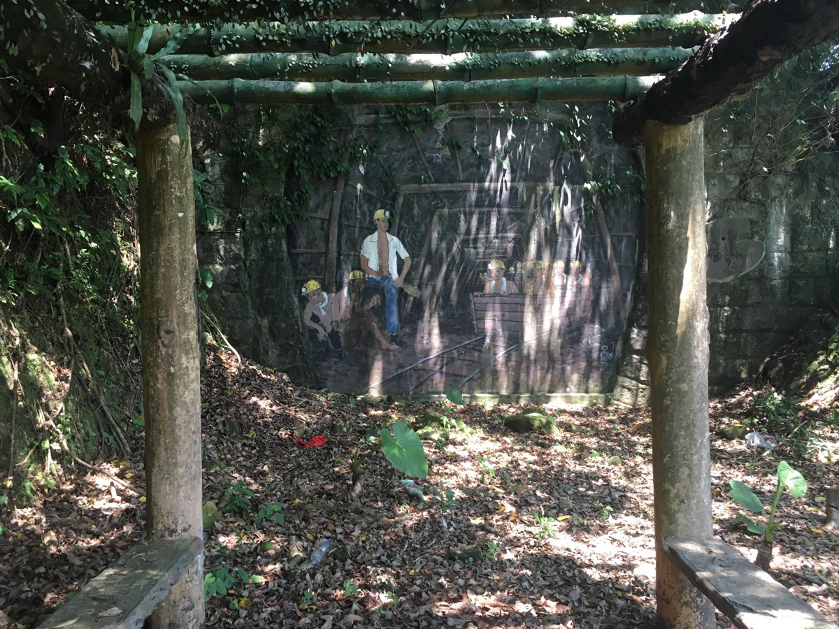
We crossed the road after leaving the village since there was slightly more space to walk, (although there was still a couple of hundred metres where we were walking actually on the road). At a cutting where the train tracks appear from out of a tunnel, there is a slightly creepy artwork showing miners emerging from the dark. I know there are mines in the area, so perhaps this is a closed entrance.
How to get there
Google maps address: we stared walking from Ruifang Old Street – Ruifang Street, Ruifang District, New Taipei City, 224, the trail itself starts from Zhi Yun temple/指雲宮
GPS location: the trailhead is at N25 06.740 E121 48.820
Public transport: take a train from Taipei heading towards Ruifang, or alternatively the 1062 bus.
Further reading: there’s not much in the way of English information out there, but there are a couple of blogs written in Mandarin on the subject – these guys didn’t go exactly the same way as us, but it seems pretty similar.
Xiu Qi Shan Trail Map
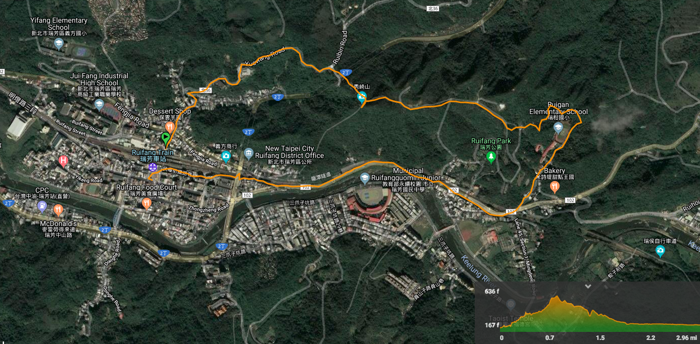
GPX file available here on Outdoor Active. (Account needed, but the free one works just fine.)
My new words learnt on this hike:
- 小鳥胃 / xiǎoniǎo wèi / (have an) appetite like a bird’s – literally bird stomach. You can say someone has a bird stomach, the same way that you might say someone who only eats a little eats like a bird in English.
- 不要不好意思說 / bùyào bù hǎoyìsi shuō / don’t be shy to speak

Water from the pump is suitable for drinking?
LikeLiked by 1 person
I don’t think so, at least not before being filtered and boiled.
LikeLiked by 1 person
Pingback: August 28, 2021 – CloudBridgeTaiwan